Level 1 of 6
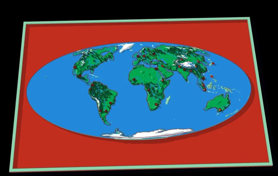
The World
Seven continents in one ocean
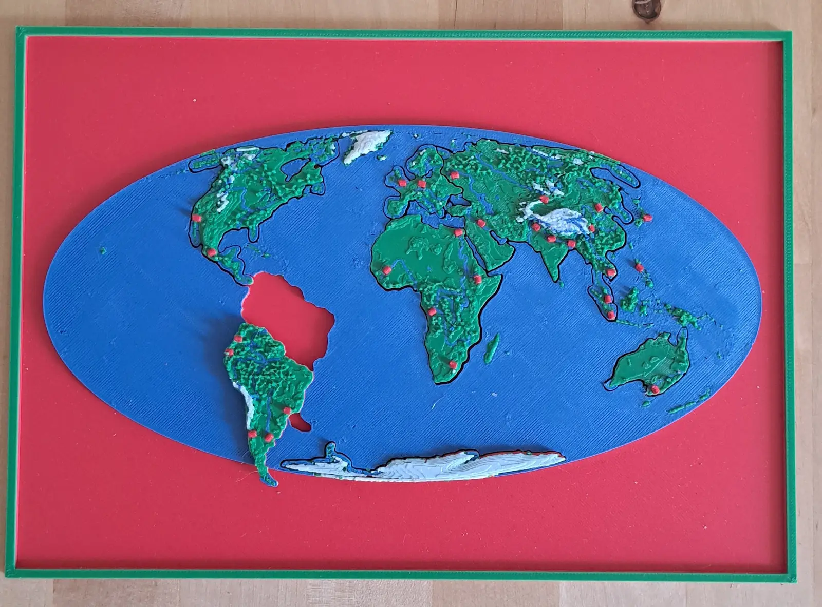
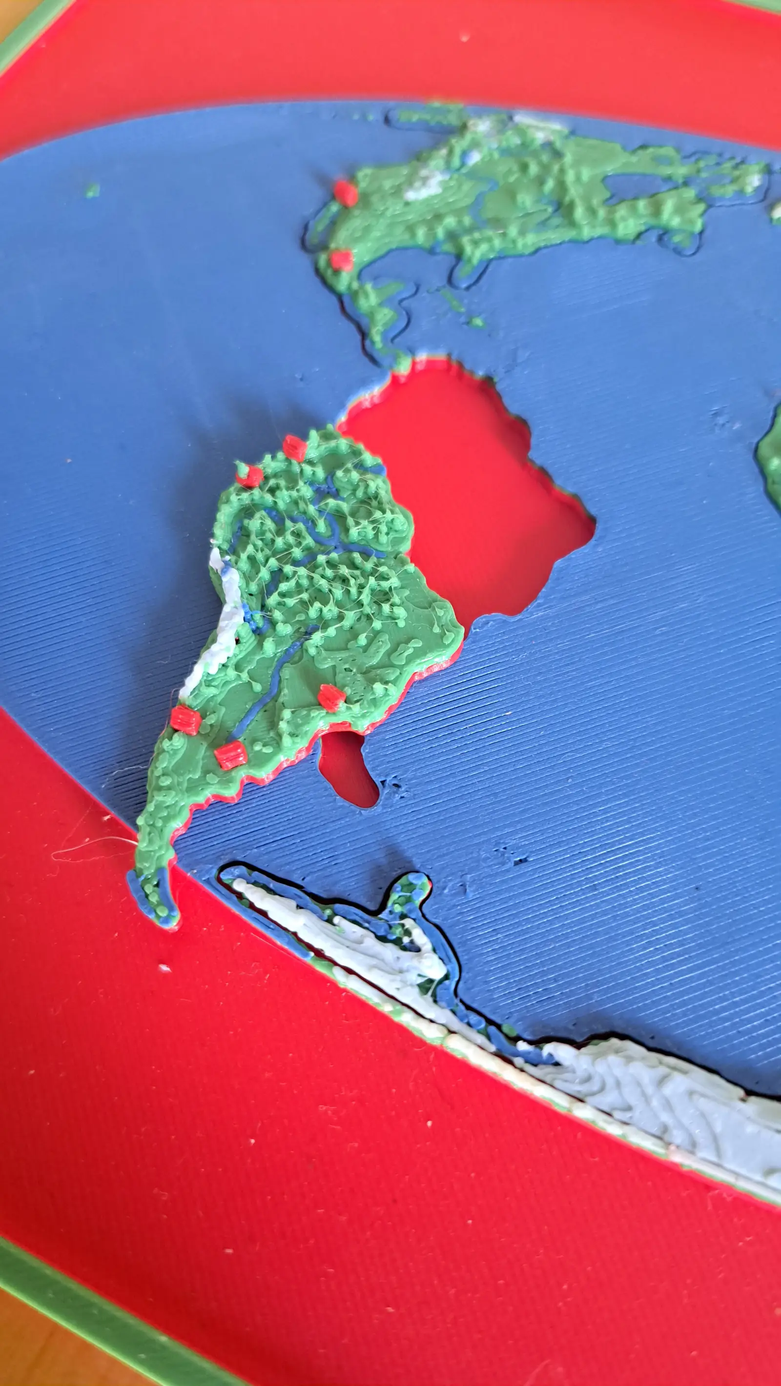
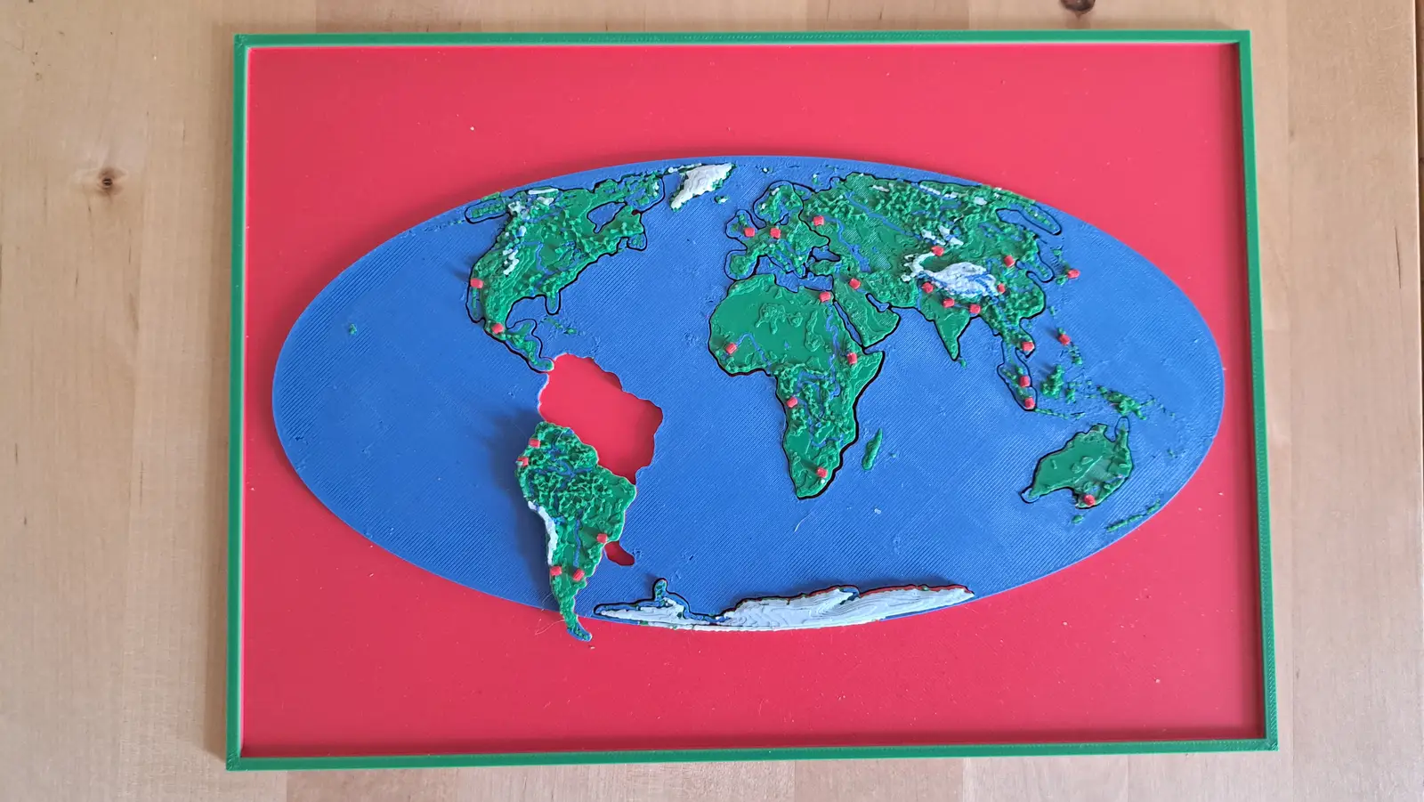
The whole planet on a B5 plate. Seven pieces lift out of a single sheet of ocean.
7 pieces · 1 mm ≈ 157 km
Collection
From the World down to Oaxaca.
6 plates, each a piece of the one above it, from the World down to this ground. Lift a piece out of one plate and it is the subject of the next.
From the whole World to ground you could walk across in an afternoon: the last plate is 773 times closer than the first, and every one of them is a real map at its own scale.
World → North America by River → Pacific Slope → Southern Mexico → Río Verde → Oaxaca
The same descent, cut the other way. A watershed is all the land whose rain ends up in the same river. Every cut follows a ridge, so each piece is one tributary's whole territory — and the piece you lift out of one plate is the subject of the next.
Level 1 of 6
Seven continents in one ocean
The whole planet on a B5 plate. Seven pieces lift out of a single sheet of ocean.
7 pieces · 1 mm ≈ 157 km
Level 2 of 6
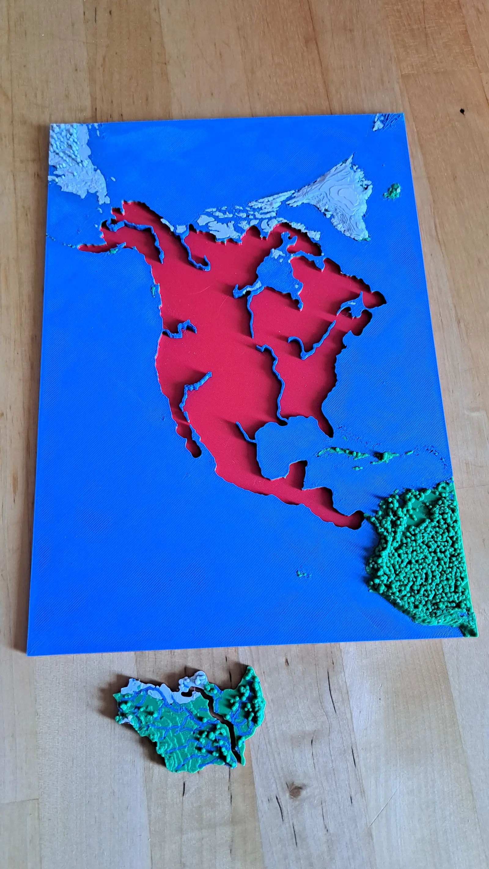
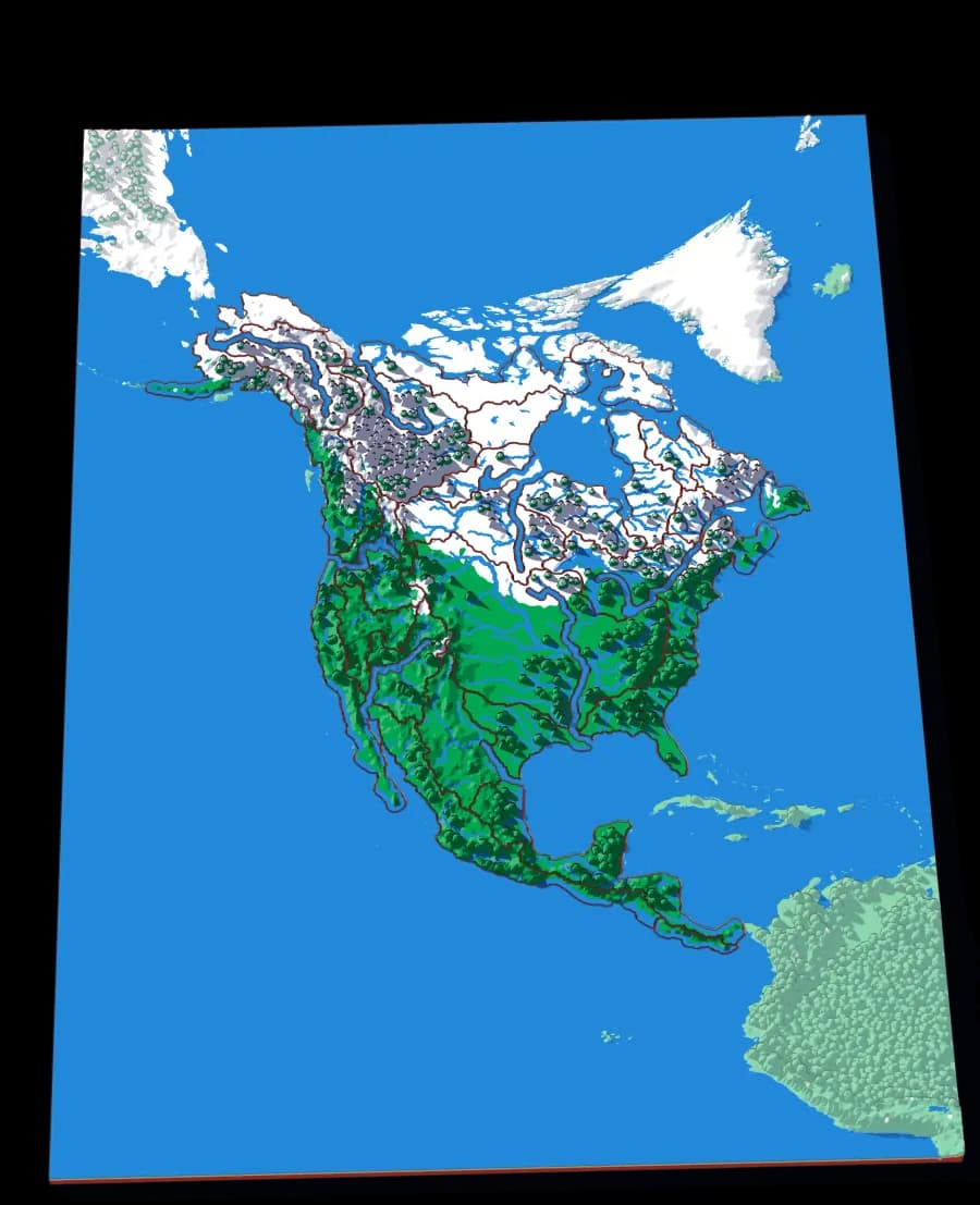
A continent divided only by where water goes
No countries, no states. Twenty-nine pieces, each one the whole territory that drains into a single river.
28 pieces · 1 mm ≈ 49.4 km
Level 3 of 6
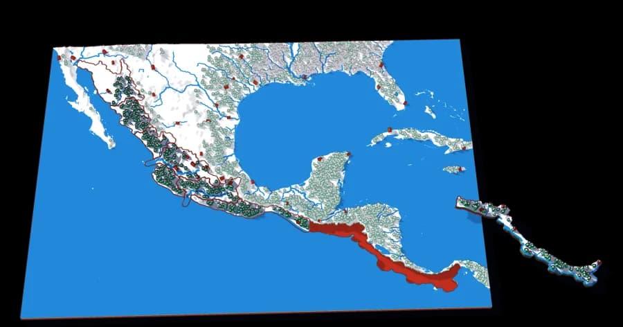
Mexico and Central America, where the rain runs west
Sonora, the Lerma-Santiago, the Balsas, Southern Mexico, Central America: every region whose rivers run down to the Pacific, from the Sonoran Desert to Panama.
8 pieces · 1 mm ≈ 17.3 km
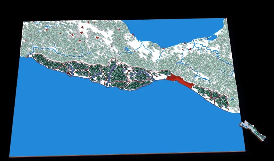
Level 4 of 6
From Acapulco to the Guatemalan border
The Río Verde, the Tehuantepec, the Papagayo, the Ometepec, and the coasts between them: the Pacific side of Guerrero, Oaxaca and Chiapas.
14 pieces · 1 mm ≈ 5.1 km
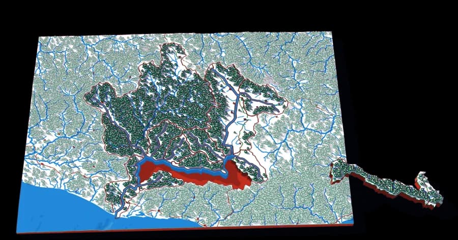
Level 5 of 6
From the valleys of Oaxaca to the Pacific
The Atoyac through Oaxaca city, the Sordo, the Salado of Tlacolula: the basin of the river that carries the central valleys of Oaxaca down to the coast.
14 pieces · 1 mm ≈ 1.2 km
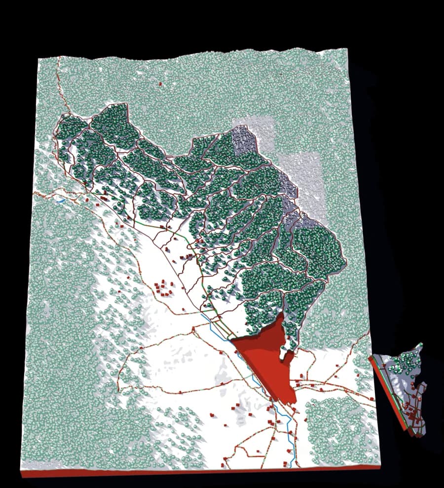
Level 6 of 6
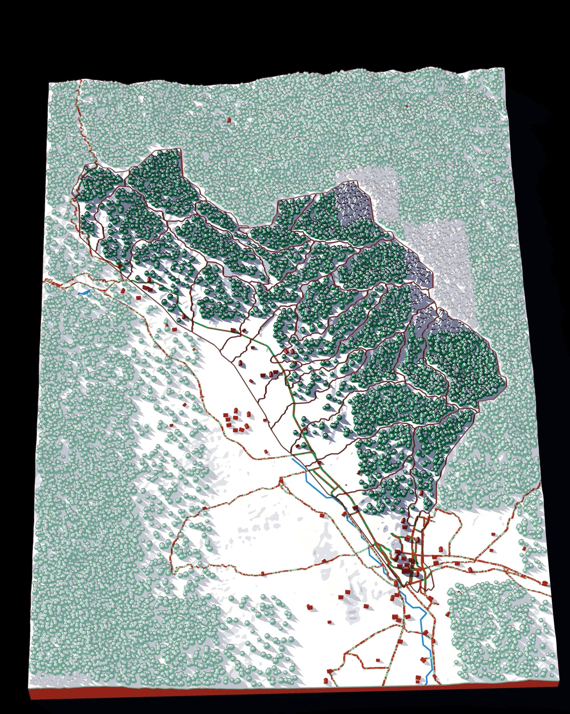
The valley around the city, creek by creek
The end of the descent: the land around Oaxaca city beside the Atoyac, cut into the small catchments of the creeks that run down to it.
23 pieces · 1 mm ≈ 203 m
Photographs of plates from this collection, as they came off the printer.