Relief puzzle maps
Maps you can
take apart.
Every piece is a real place, printed at the height it actually is. Run a finger across the Alps and you feel the Alps. Lift out the Ohio and you are holding every square kilometre of ground whose rain ends up in that river.
- Puzzles
- 35
- Pieces cut
- 602
- Plate
- B5, 250 × 176 mm
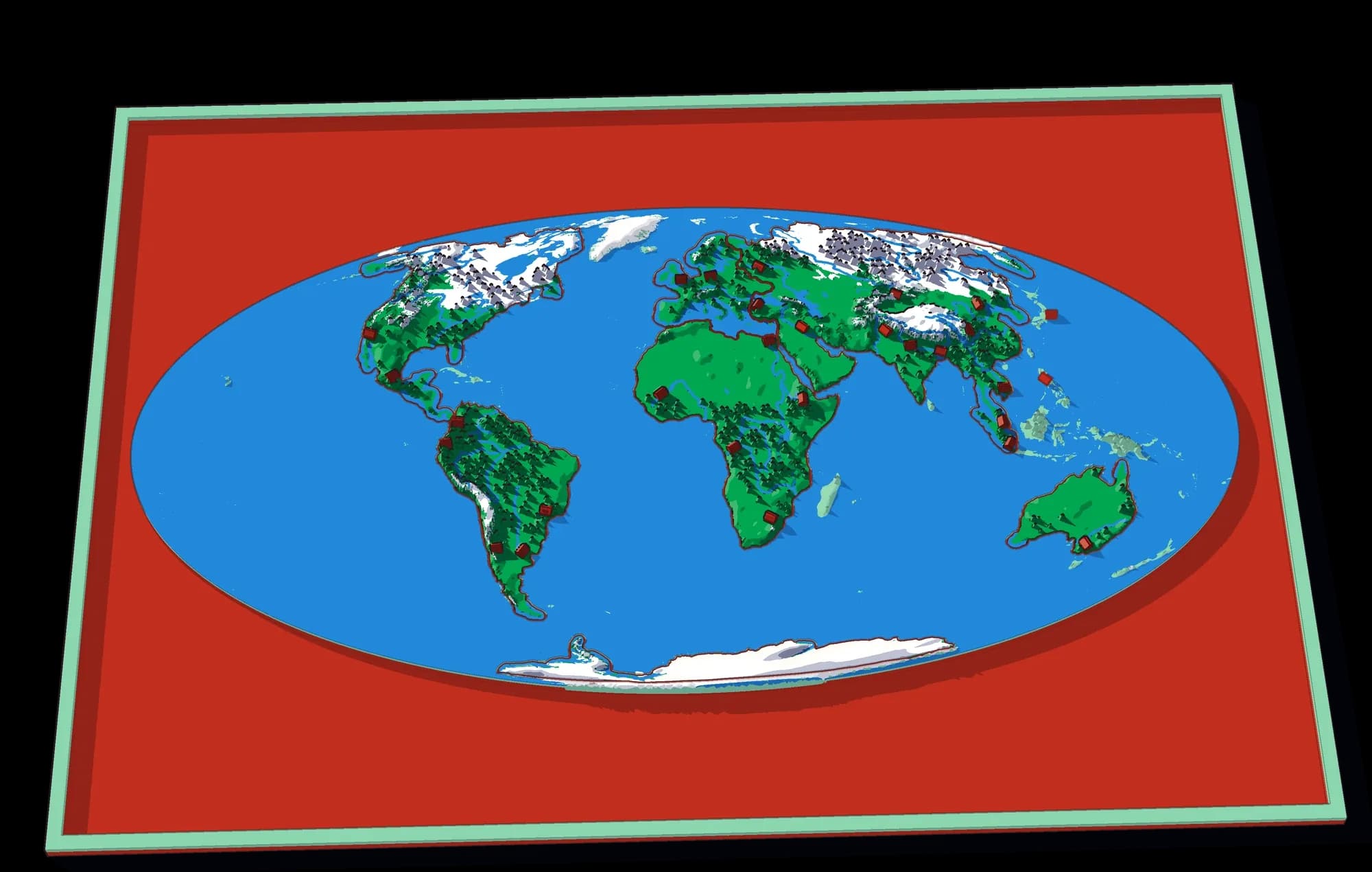
Not a picture of a map. The map.
These are cut from real data — public elevation models, real hydrology, real borders — and printed as a solid object. Nothing on a plate is drawn by hand, which is why what a child learns from it is true.
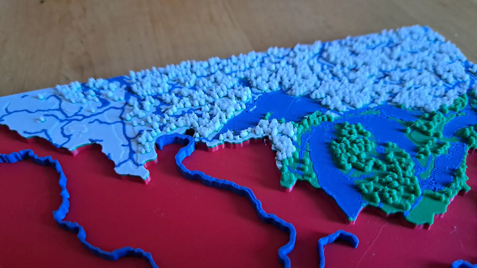
Real elevation
Surface height comes from public digital elevation models, vertically exaggerated by a known factor so the relief is readable at desk size. Mountains are where mountains are, and as high as they are relative to each other.
Real water
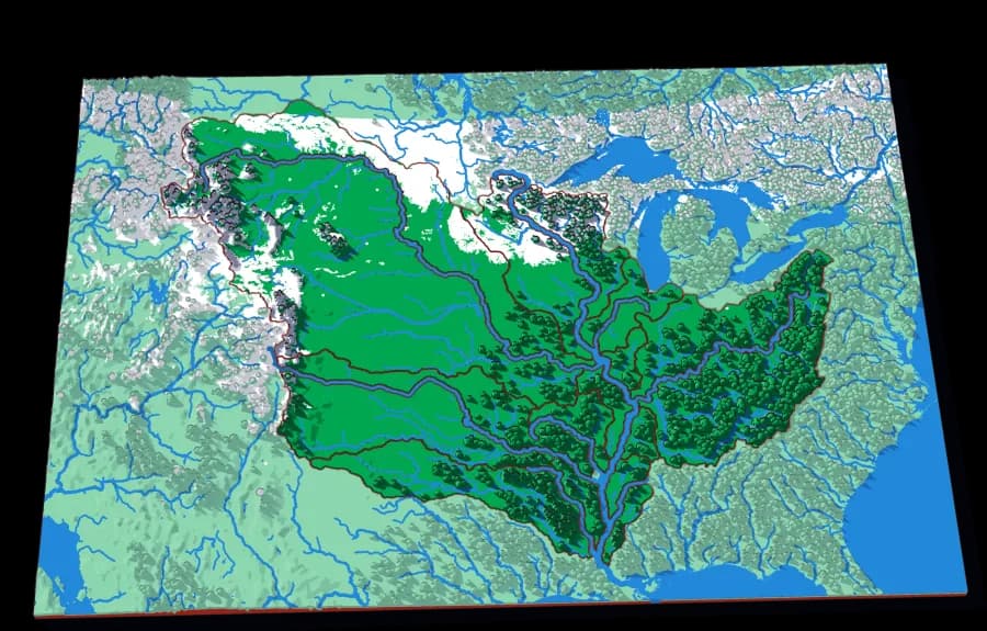
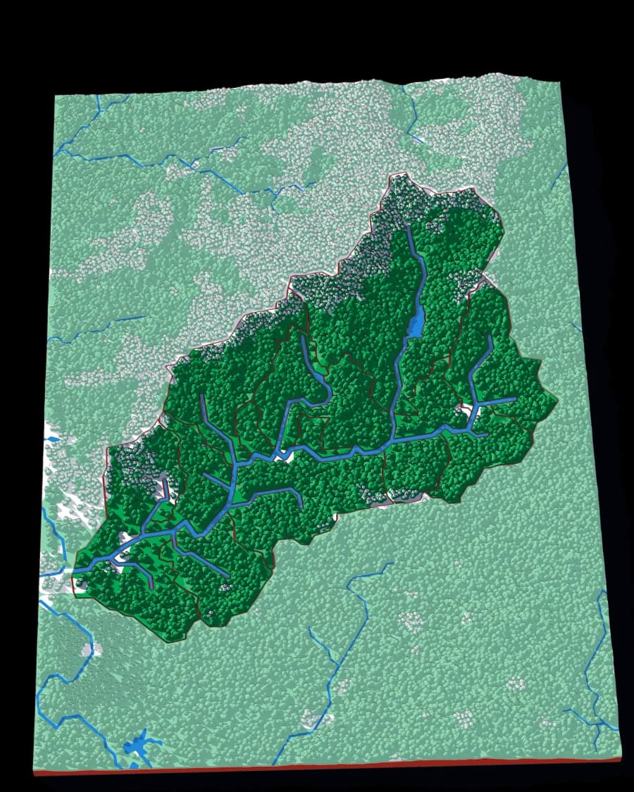
Rivers and lakes are printed in blue from hydrological datasets, not sketched in. On the watershed puzzles the main stem is carved into the surface, so the assembled plate has the river physically running through it.
Real snow
The white on the high ground is snow-persistence data — where snow actually lies, not an altitude threshold. It is why the Alps and the Himalaya look different from each other.
Start here
4 plates that show what the collection is for.
The World
Seven continents in one ocean
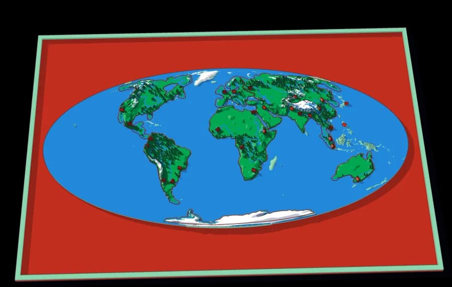
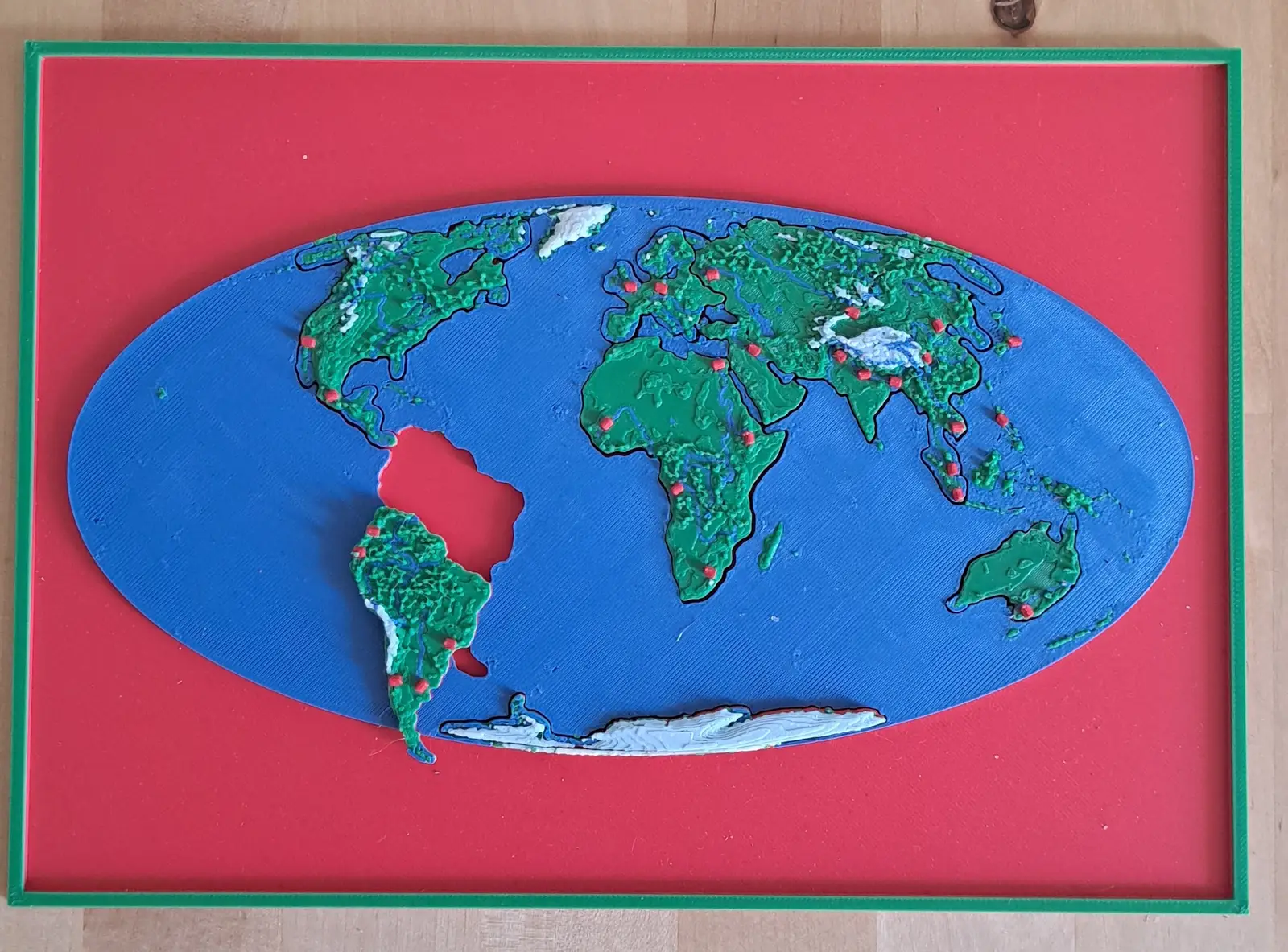
The whole planet on a B5 plate. Seven pieces lift out of a single sheet of ocean.
- Pieces
- 7 pieces
- Scale
- 1 mm ≈ 157 km
- Suitable for
- Ages 3 and up
- Price
- CHF 15.00
North America by River
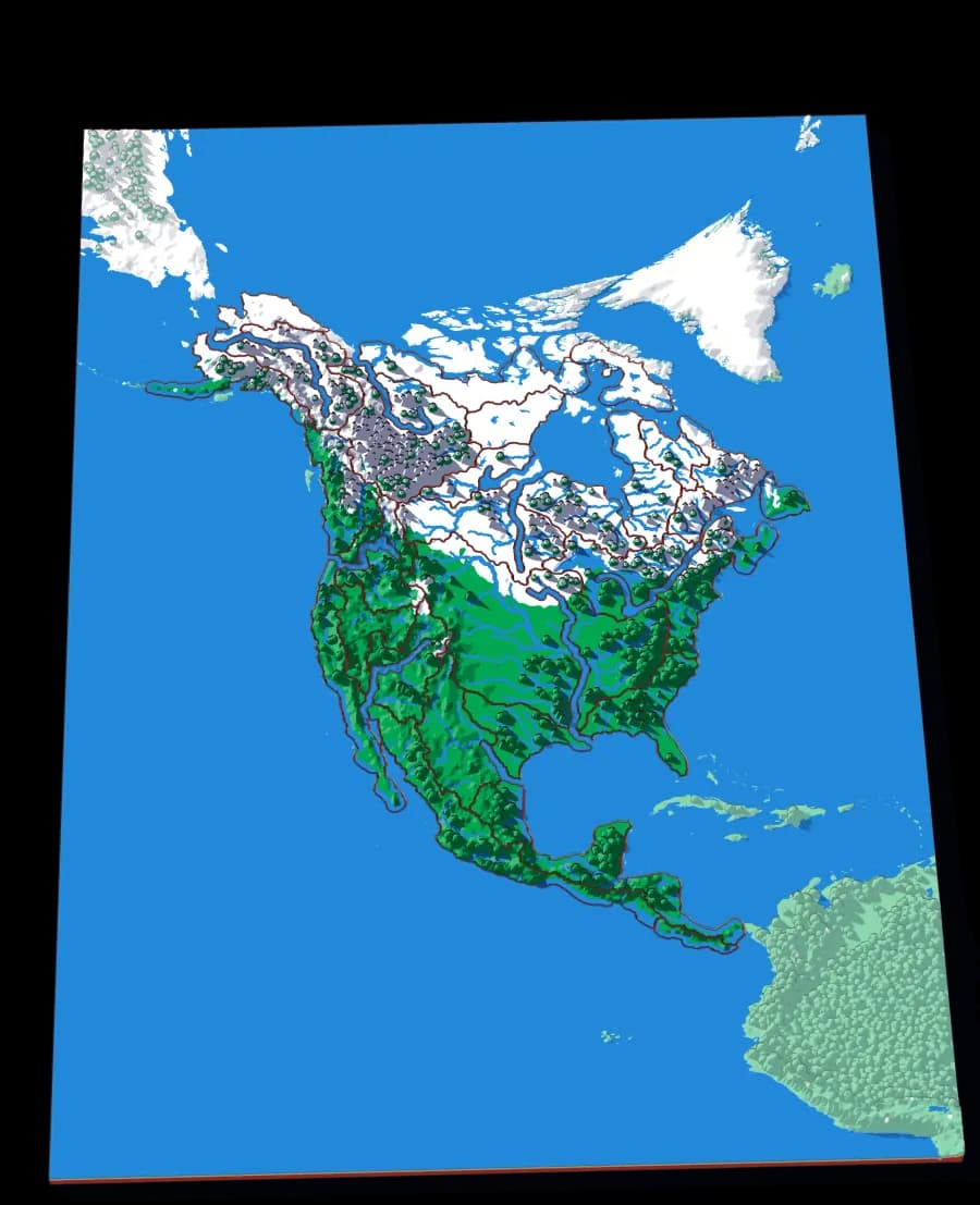
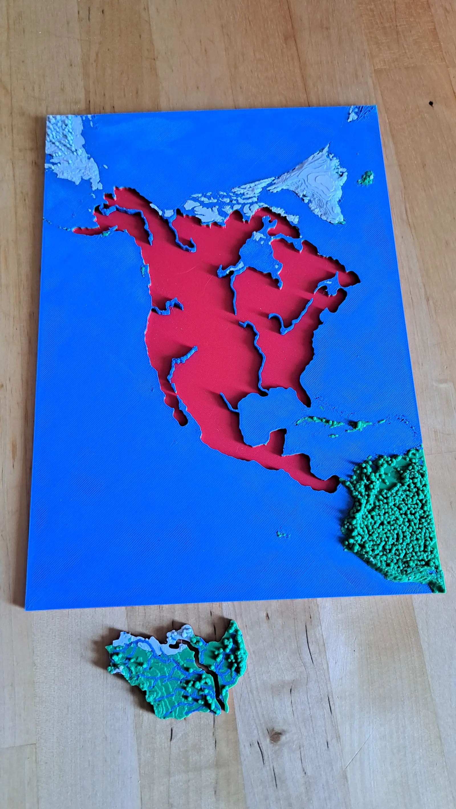
A continent divided only by where water goes
No countries, no states. Twenty-nine pieces, each one the whole territory that drains into a single river.
- Pieces
- 29 pieces
- Scale
- 1 mm ≈ 49.4 km
- Suitable for
- Ages 8 and up
- Price
- CHF 15.00
Europe
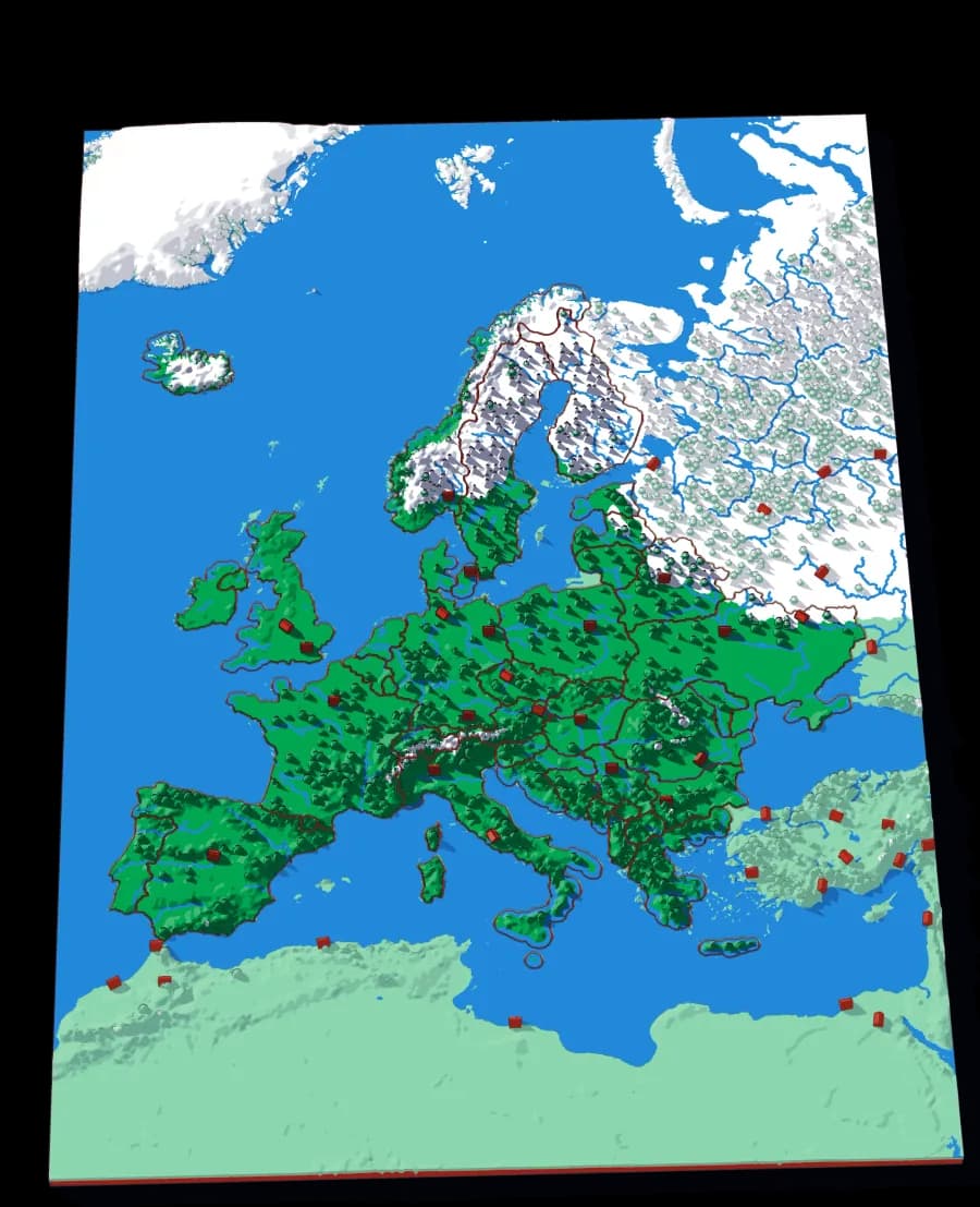
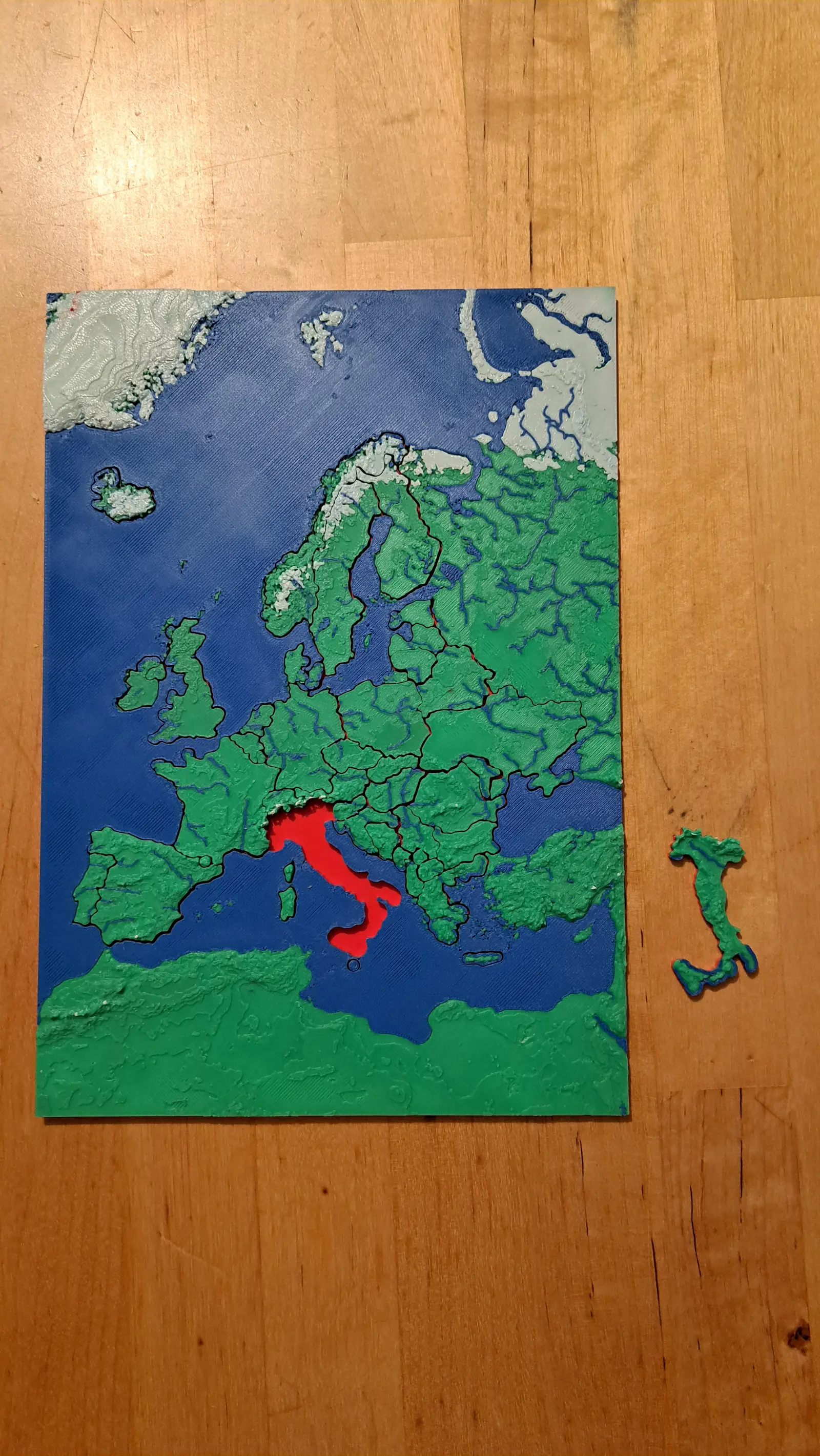
Forty-five countries at real elevation
The political map, printed on the terrain it was drawn over. Forty-five pieces, from Andorra to Russia's western edge.
- Pieces
- 29 pieces
- Scale
- 1 mm ≈ 24.7 km
- Suitable for
- Ages 6 and up
- Price
- CHF 15.00
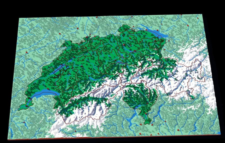
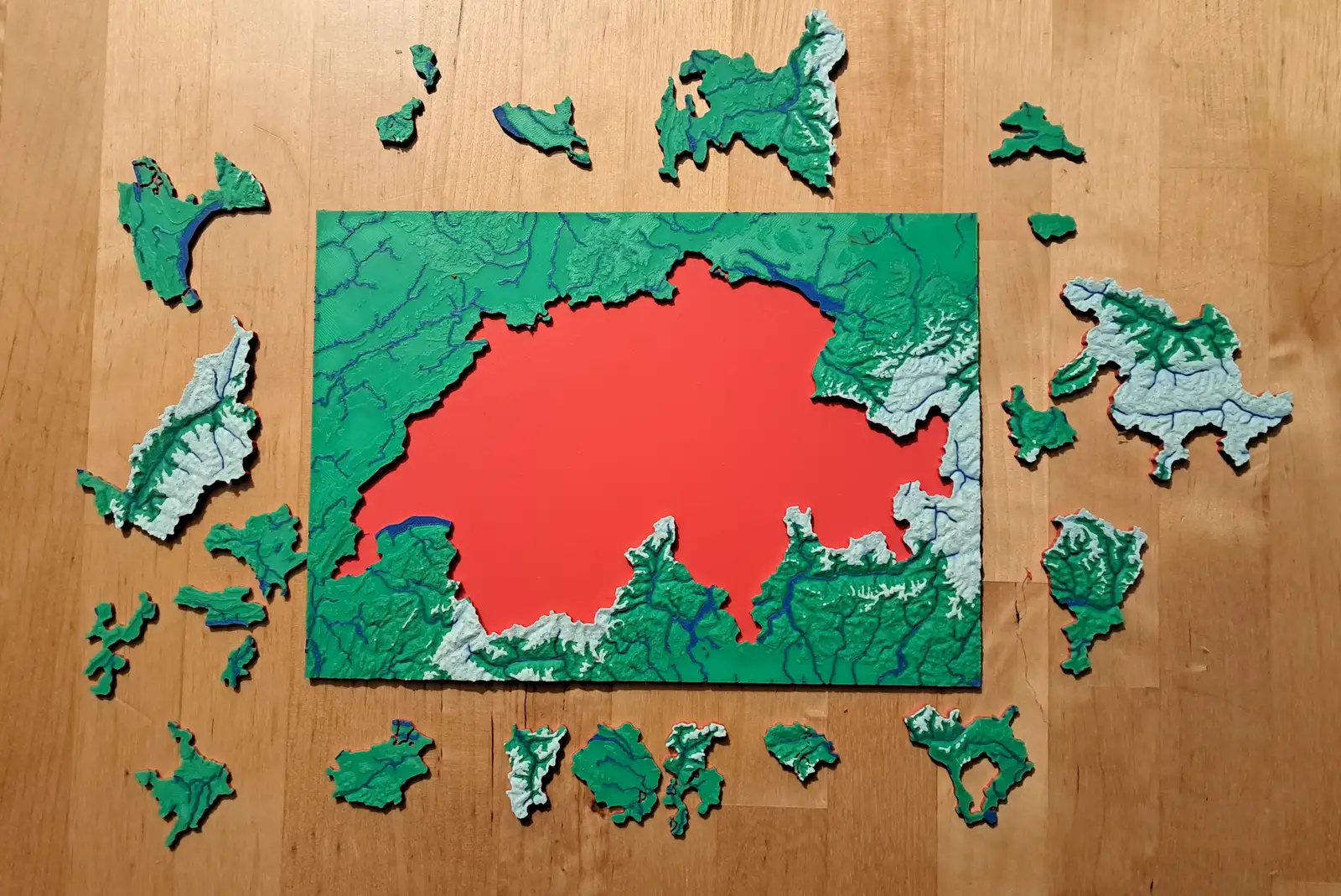
Switzerland
Twenty-three cantons over the Alps
The cantons, printed at 1 mm to 1.5 km, with the Alps in white and every major lake in blue.
- Pieces
- 23 pieces
- Scale
- 1 mm ≈ 1.5 km
- Suitable for
- Ages 6 and up
- Price
- CHF 15.00
Zoom in
5 levels deep, and every one is a real map.
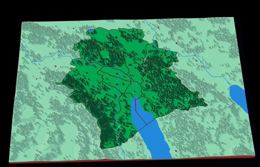
Ending in the twelve Kreise, either side of the Limmat.
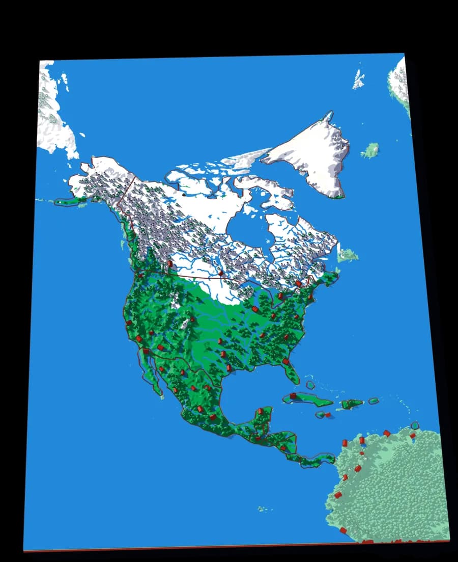
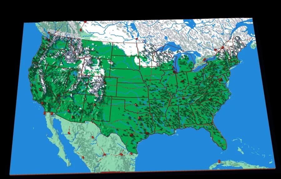
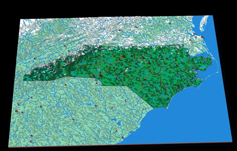
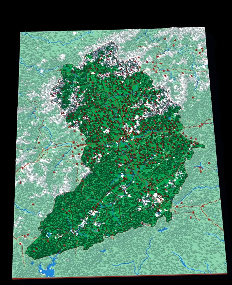
A descent cut by the lines people drew. A world is made of continents, a continent of countries, a country of regions, a region of towns — and each one is a plate whose piece becomes the next plate. Each plate is redrawn at its own scale, so the detail is real at every level rather than an enlargement of the one above.
What it follows
Where it ends
World to continent to country to canton to city district
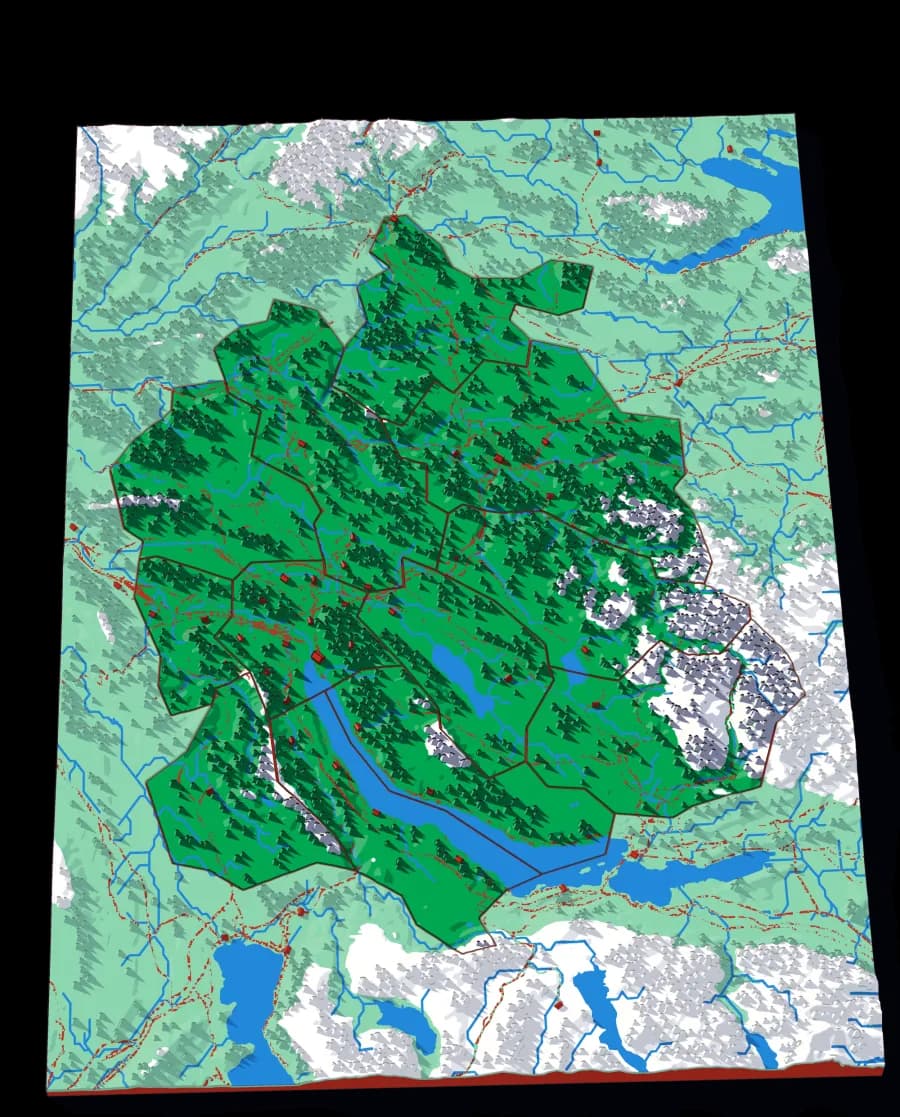
World to continent to country to state to township
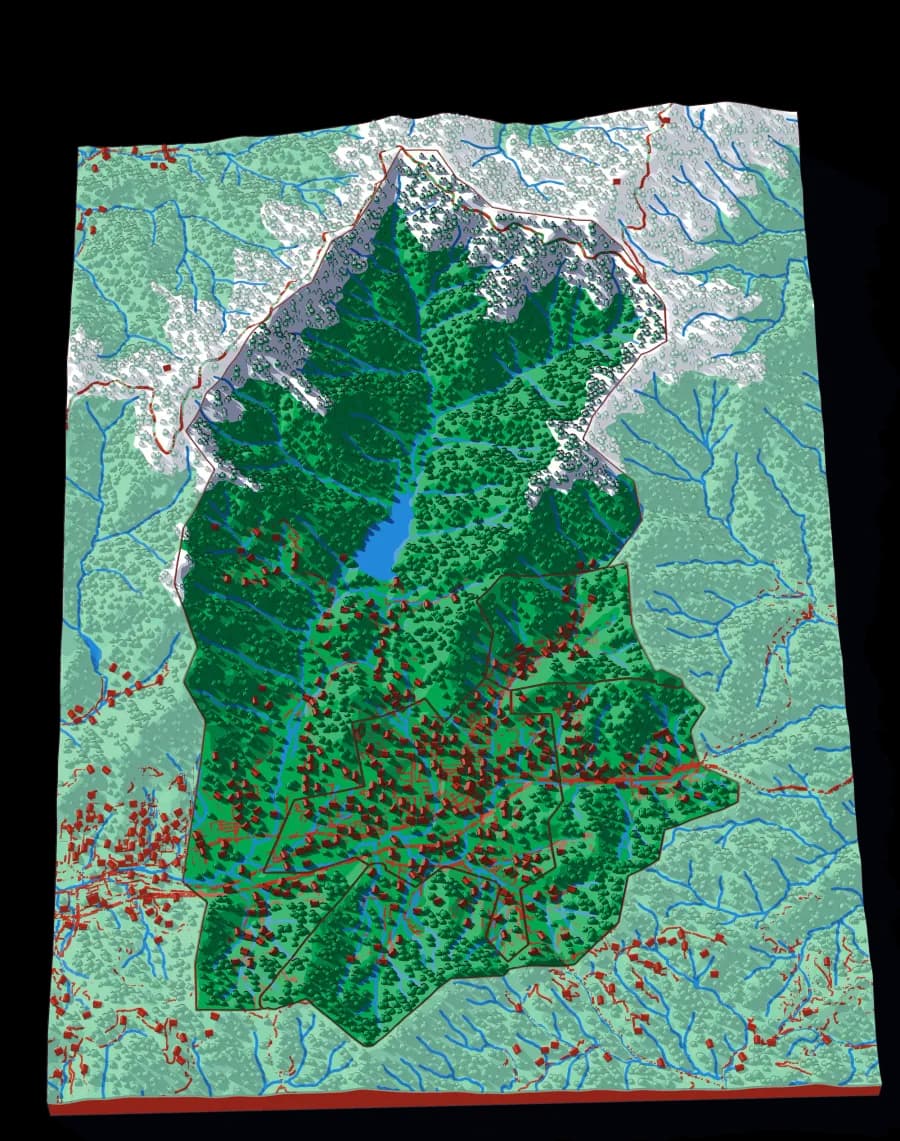
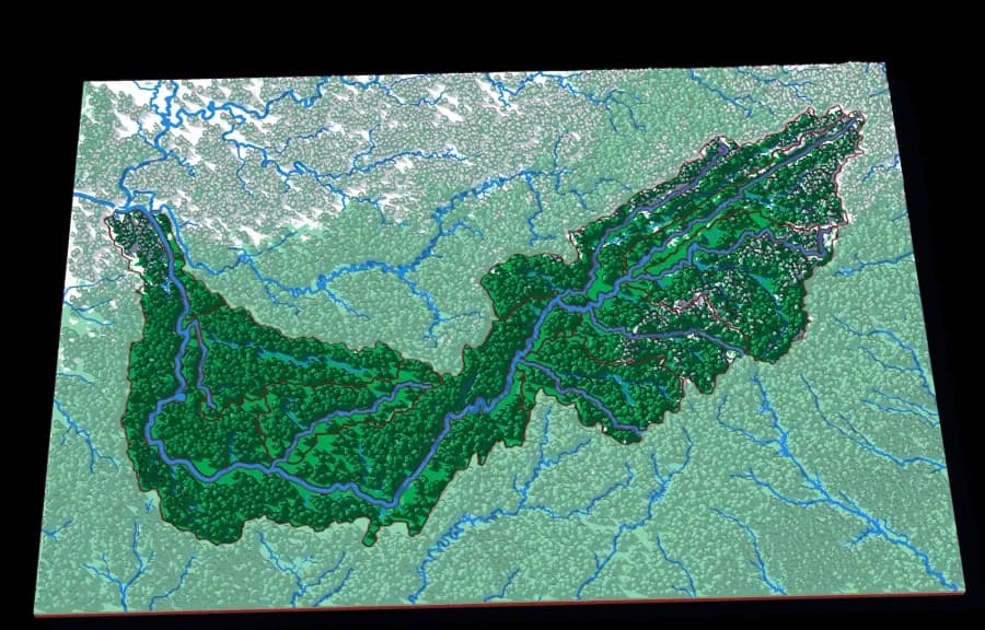
The Rhine down to the river that runs through Zürich
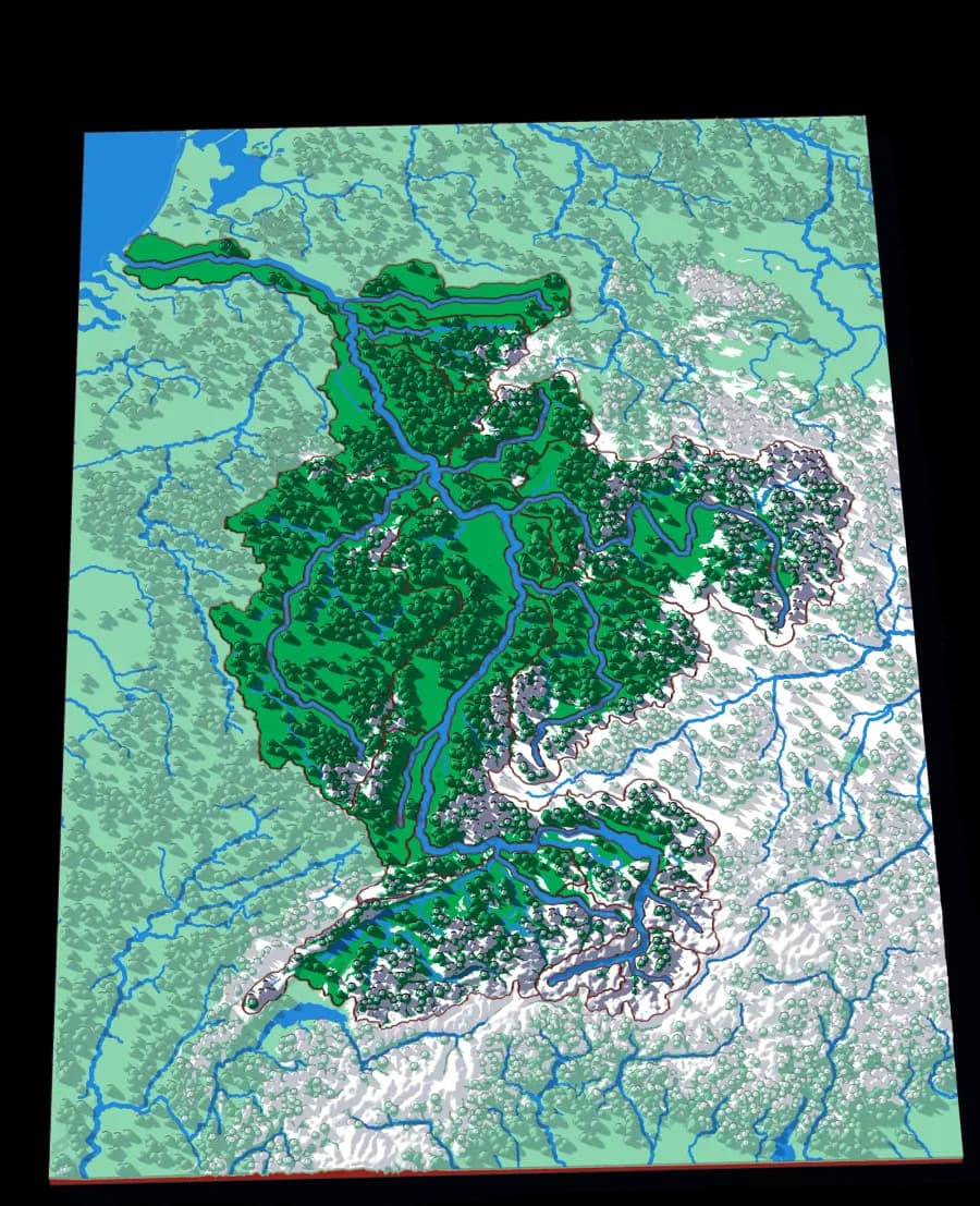
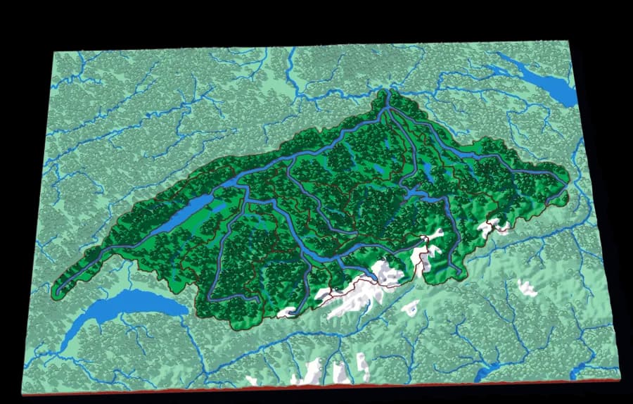
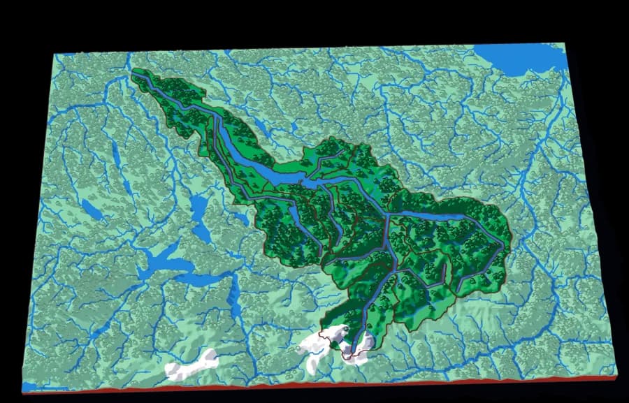
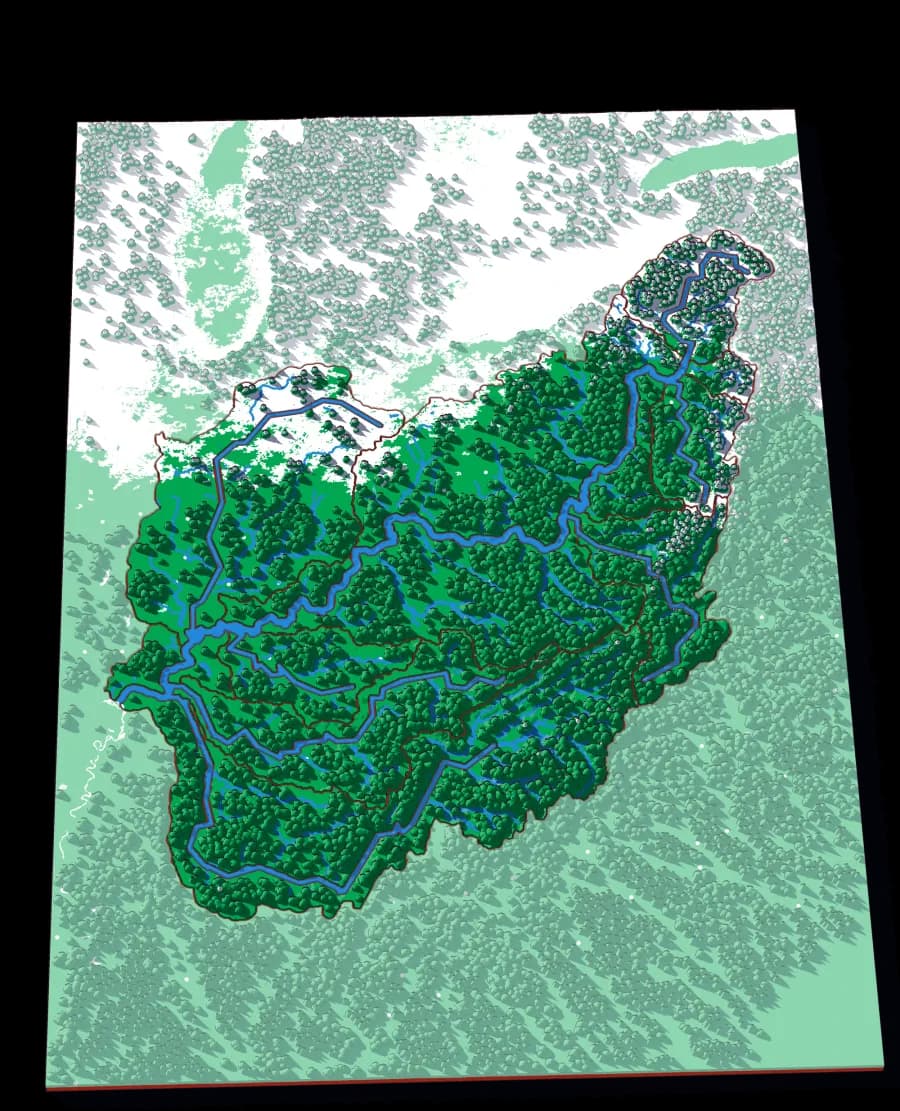
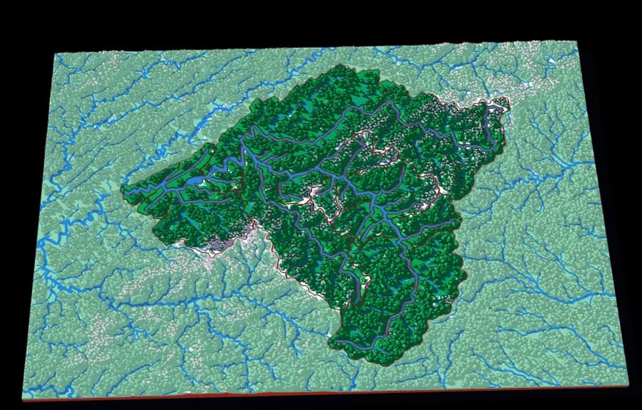
A continent to one creek, cut by ridge lines with no borders
Where it started
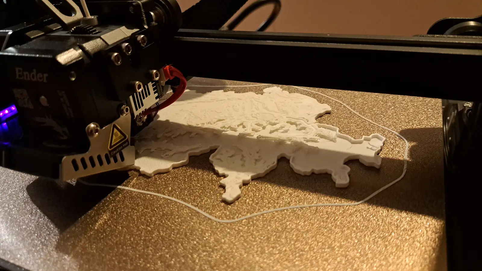
It began with one relief of Switzerland, printed in the middle of the night.
A gifted 3D printer, a machine too fascinating to sleep through, and three years of experiments since — the houses in our neighbourhood, the whole globe, pieces painted at the kitchen table. Every plate here grew out of that first night.