Collections
A puzzle whose piece is the next puzzle
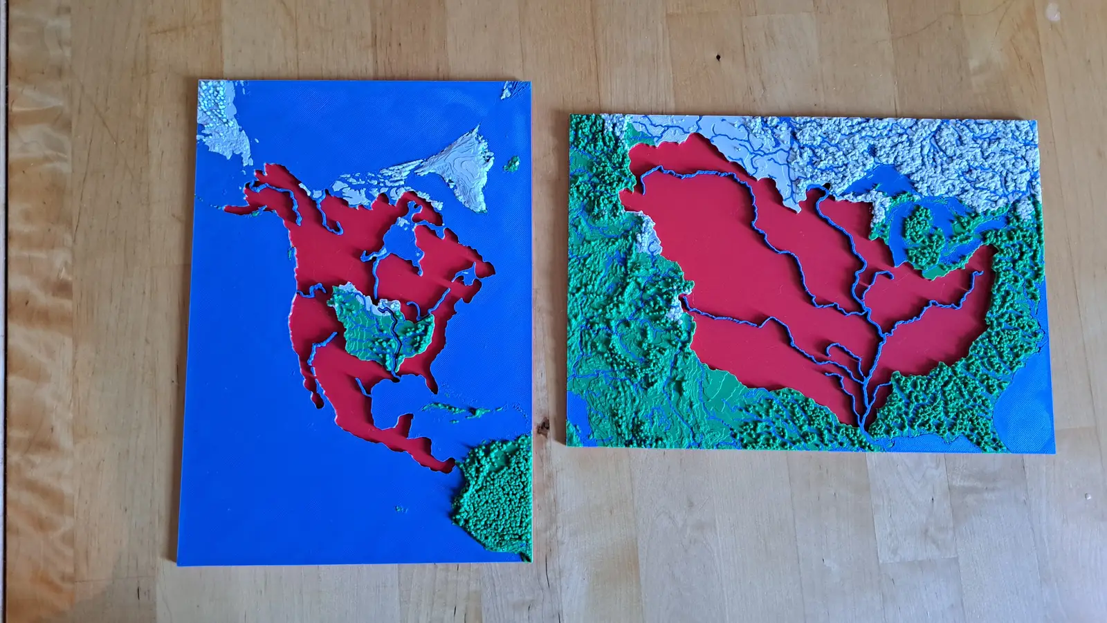
Most map sets are a list of places. Each collection here is a descent: you lift a piece out of one plate, and that piece is the subject of the plate below it. A handful of levels take you from a continent to ground you could walk across in an afternoon — and the scale on the plate tells you, honestly, how far you came.
There are two rules so far, and they are opposites. One follows borders and does not care where the water goes. The other follows water and does not draw a single border. Run both over the same ground and children notice the disagreement on their own, which is the entire lesson — so each place below has one of each.
Zürich
Ending in the twelve Kreise, either side of the Limmat.
Follow the borders
World to continent to country to canton to city district
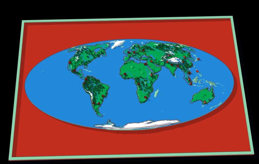
- Level 1The World7 pieces1 mm ≈ 157 km
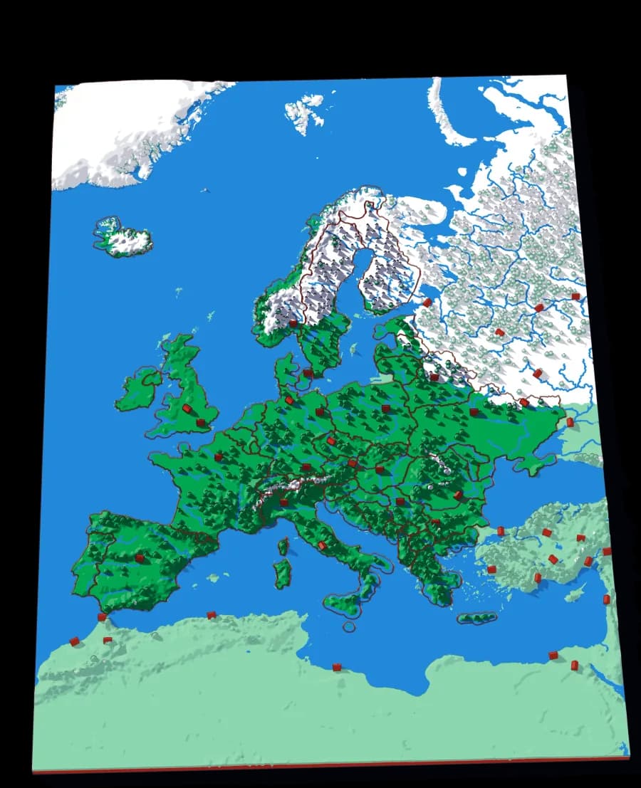
- Level 2Europe29 pieces1 mm ≈ 24.7 km
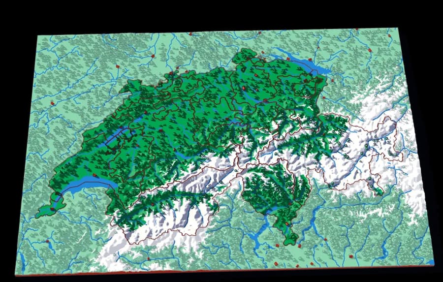
- Level 3Switzerland23 pieces1 mm ≈ 1.5 km
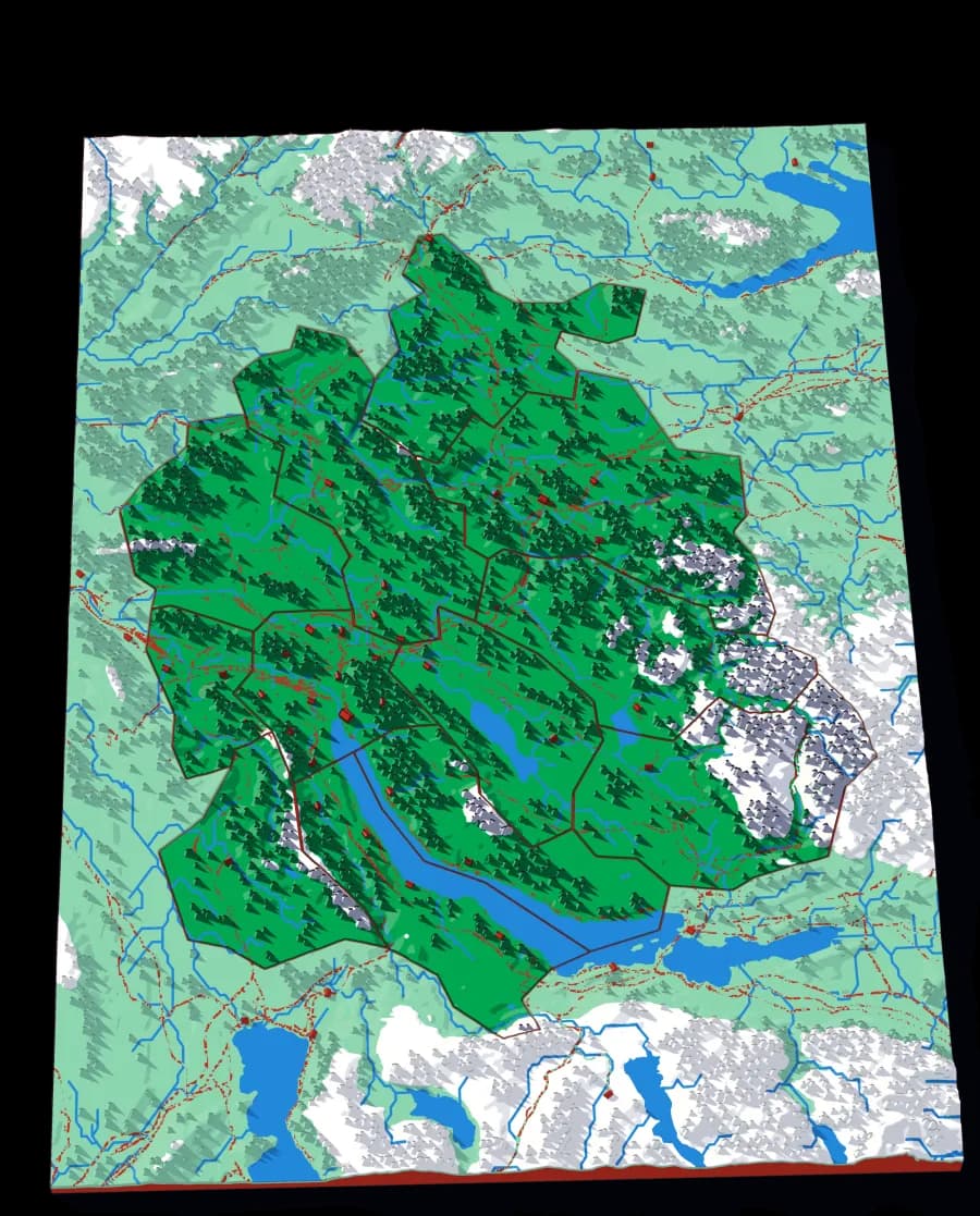
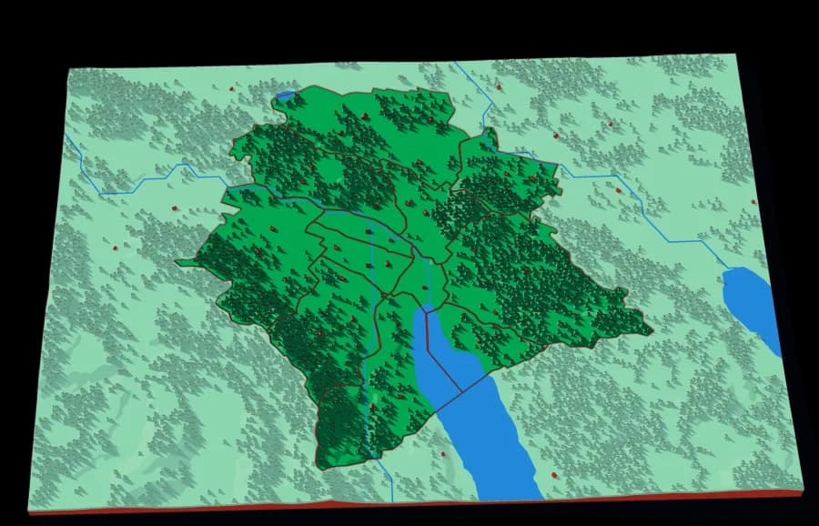
- Level 4Canton Zürich12 pieces1 mm ≈ 305 m
- Level 5Zürich City12 pieces1 mm ≈ 81 m
Follow the water
The Rhine down to the river that runs through Zürich
- Level 1The Rhine22 pieces1 mm ≈ 3.4 km
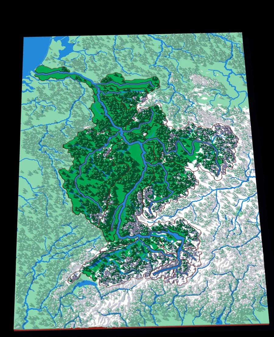
- Level 2The Aare15 pieces1 mm ≈ 1.1 km
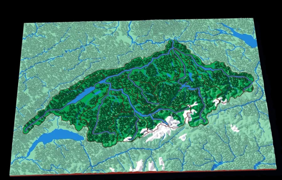
- Level 3The Limmat15 pieces1 mm ≈ 517 m
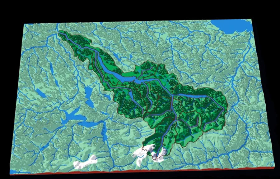
Watch the scale along each row: from tens of kilometres per millimetre down to a hundred or so metres. Every plate is re-cut from the source data at its own scale rather than enlarged, so the last is as detailed as the first. Both routes together are 8 plates.
Black Mountain
Ending in one Appalachian valley in western North Carolina.
Follow the borders
World to continent to country to state to township
- Level 1The World7 pieces1 mm ≈ 157 km
- Level 2North America6 pieces1 mm ≈ 49.3 km
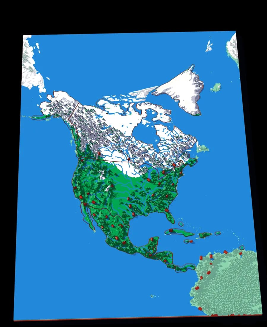
- Level 3The United States46 pieces1 mm ≈ 20.1 km
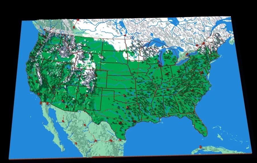
- Level 4North Carolina16 pieces1 mm ≈ 3.4 km
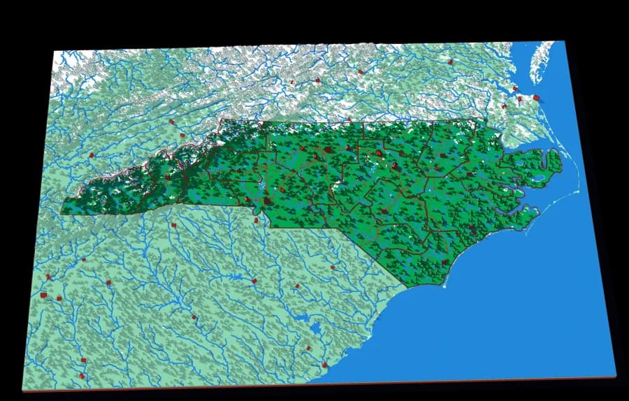
- Level 5Land of Sky43 pieces1 mm ≈ 522 m
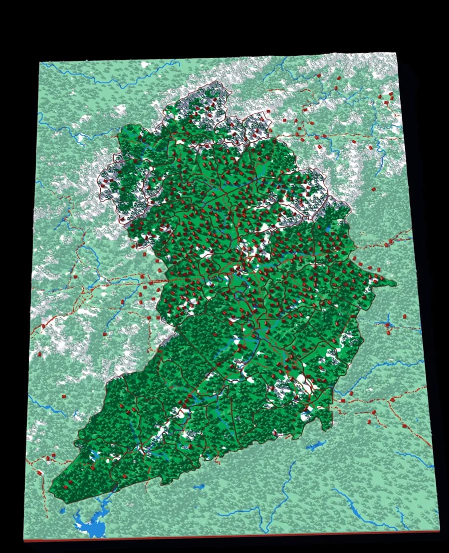
- Level 6Black Mountain4 pieces1 mm ≈ 87 m
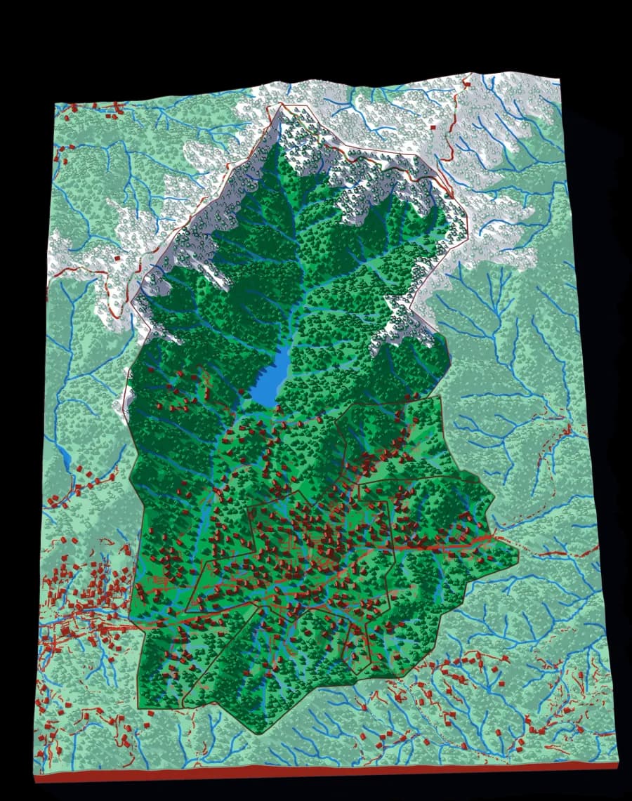
Follow the water
A continent to one creek, cut by ridge lines with no borders
- Level 1North America by River29 pieces1 mm ≈ 49.4 km
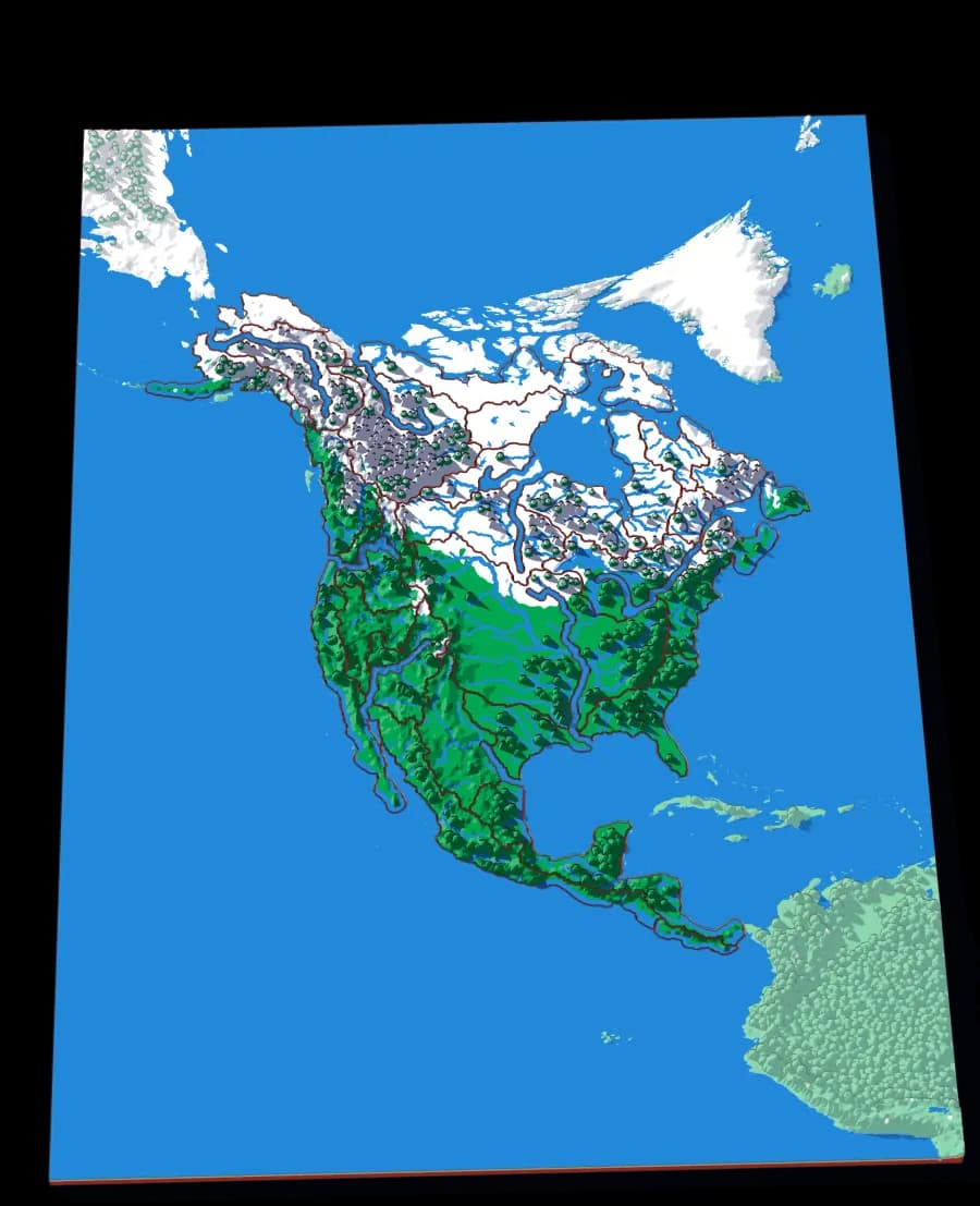
- Level 2The Mississippi13 pieces1 mm ≈ 14.5 km
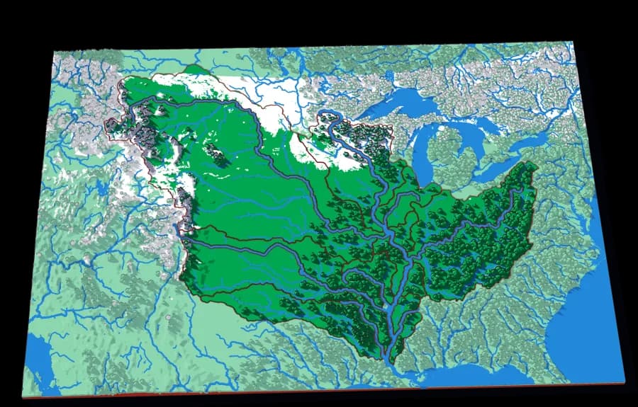
- Level 3The Ohio14 pieces1 mm ≈ 5.8 km
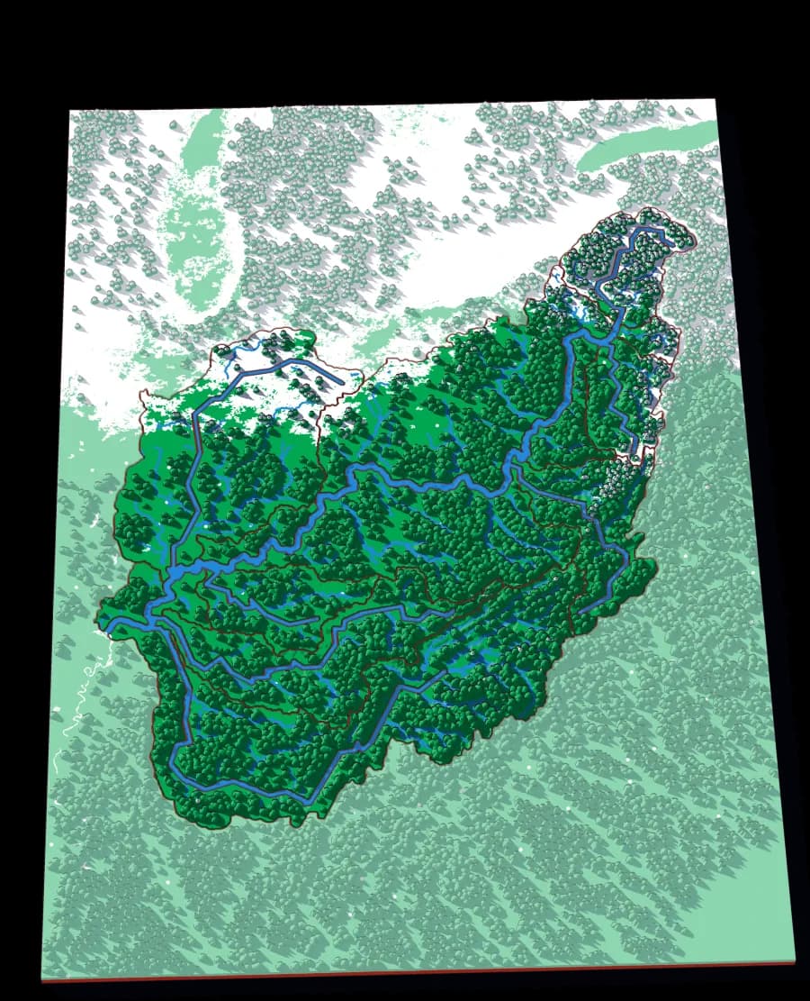
- Level 4The Tennessee13 pieces1 mm ≈ 2.8 km
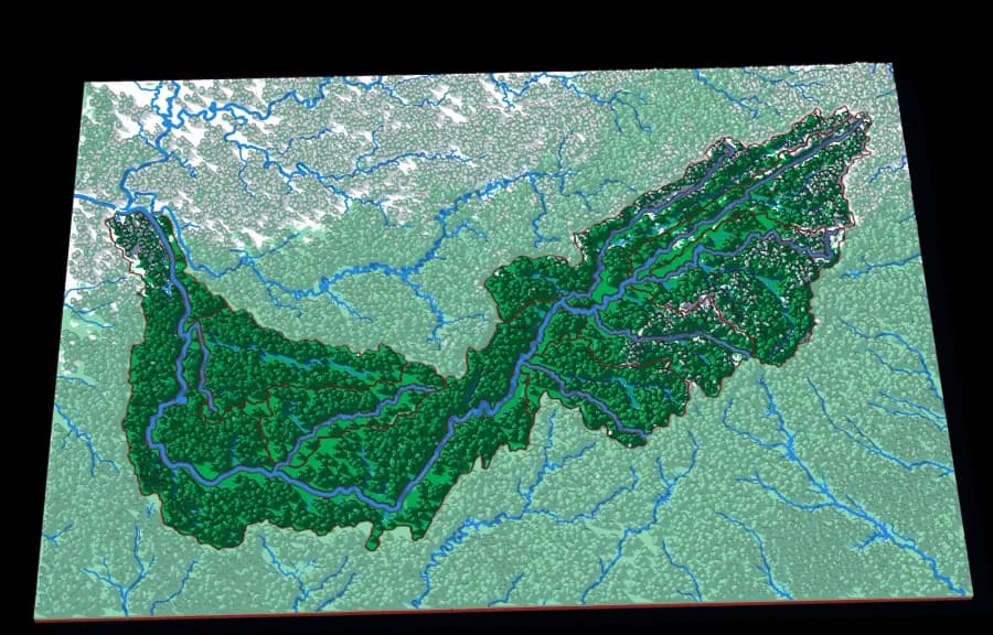
- Level 5The French Broad18 pieces1 mm ≈ 976 m
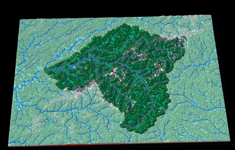
- Level 6The Swannanoa15 pieces1 mm ≈ 163 m
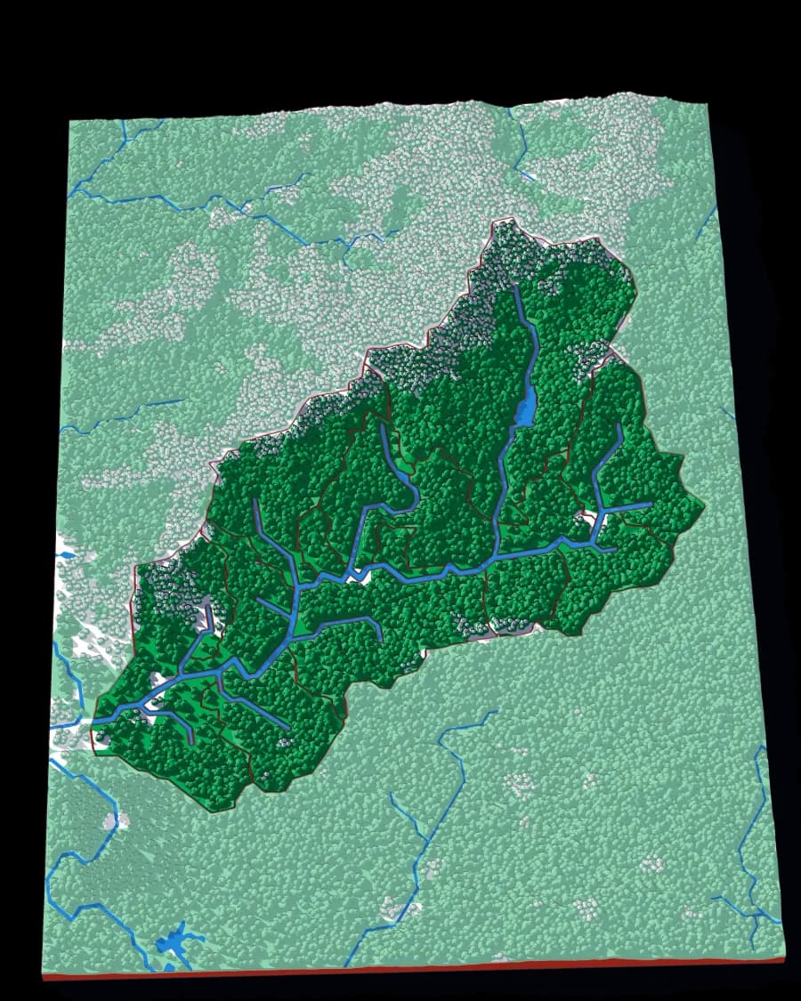
Watch the scale along each row: from tens of kilometres per millimetre down to a hundred or so metres. Every plate is re-cut from the source data at its own scale rather than enlarged, so the last is as detailed as the first. Both routes together are 12 plates.
Missing a collection?
A set of plates that belong together — all the Alps, the Great Lakes, every canton — tell me what you'd collect.