Level 1 of 5
The World
Seven continents in one ocean
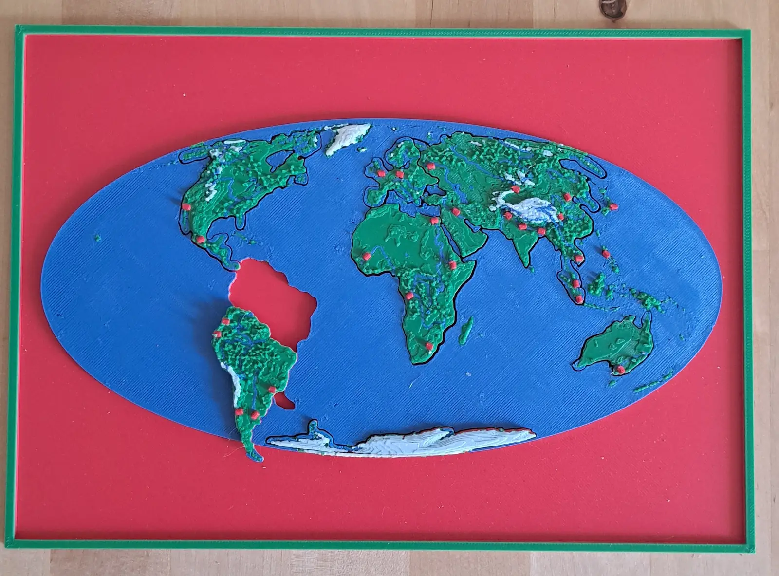
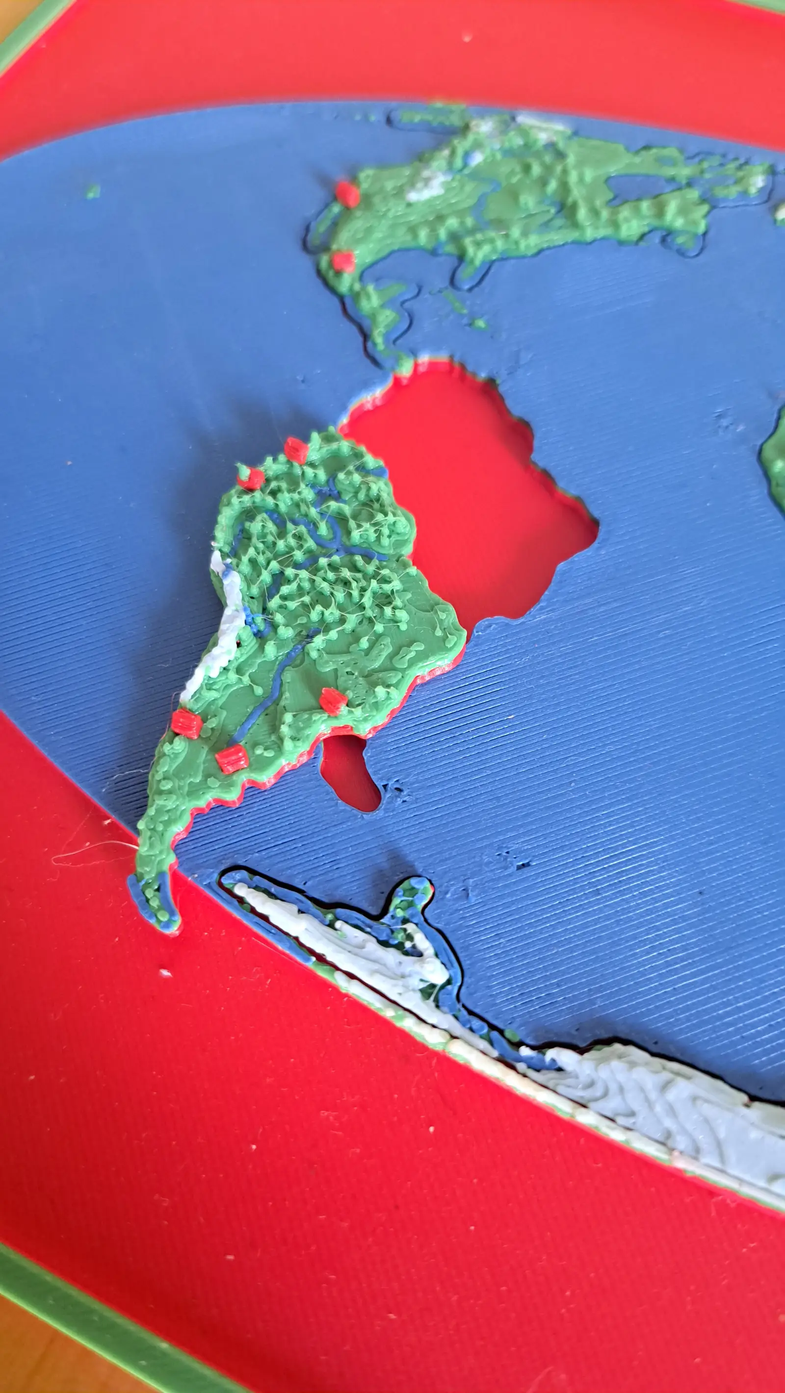
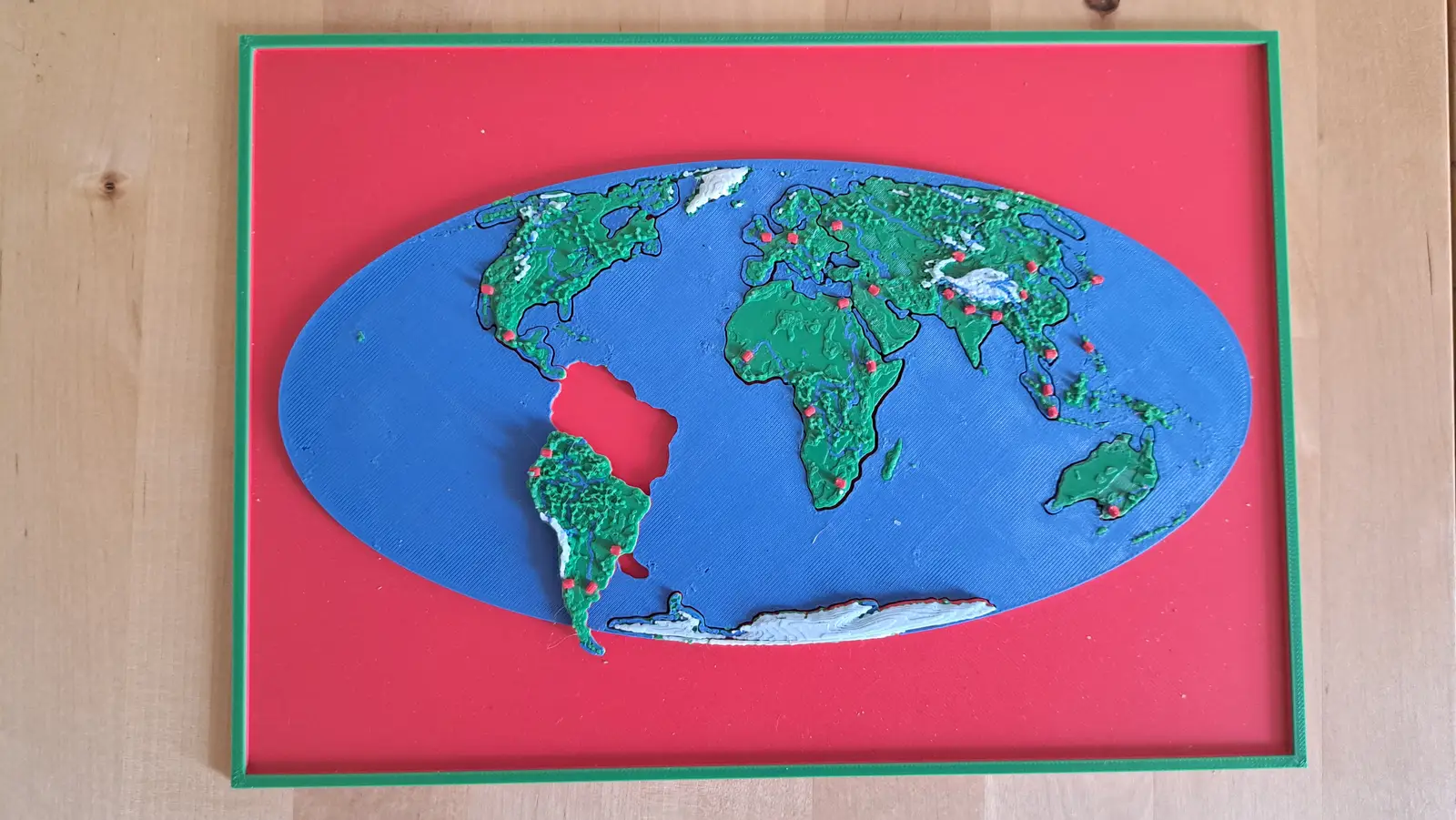
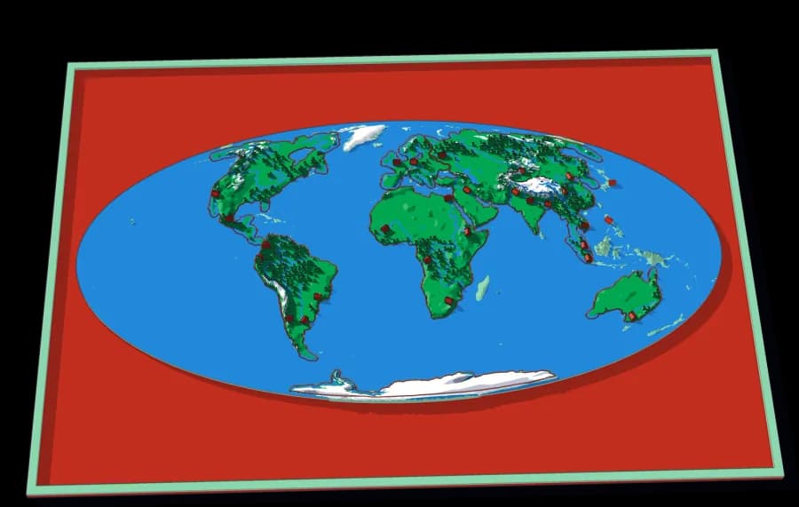
The whole planet on a B5 plate. Seven pieces lift out of a single sheet of ocean.
7 pieces · 1 mm ≈ 157 km
Collection
Ending in the twelve Kreise, either side of the Limmat.
8 plates, each a piece of the one above it, from the World down to this ground. Lift a piece out of one plate and it is the subject of the next.
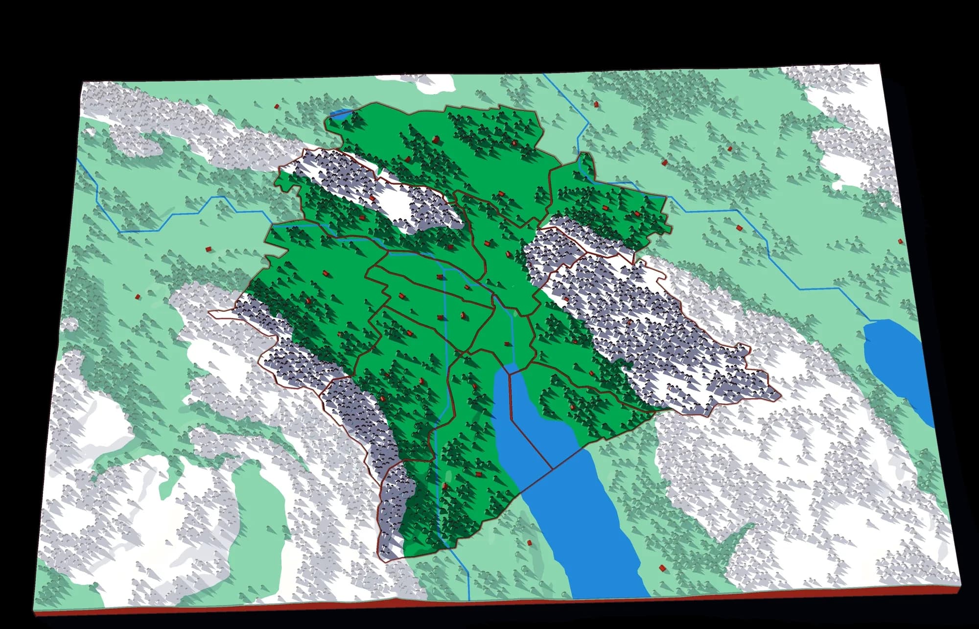
From the whole World to ground you could walk across in an afternoon: the last plate is 1,937 times closer than the first, and every one of them is a real map at its own scale.
World to continent to country to canton to city district
A descent cut by the lines people drew. A world is made of continents, a continent of countries, a country of regions, a region of towns — and each one is a plate whose piece becomes the next plate.
Level 1 of 5
Seven continents in one ocean
The whole planet on a B5 plate. Seven pieces lift out of a single sheet of ocean.
7 pieces · 1 mm ≈ 157 km
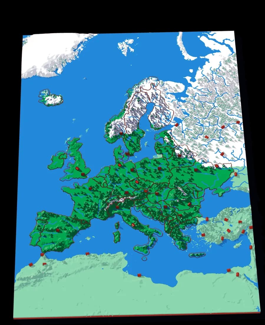
Level 2 of 5
Forty-five countries at real elevation
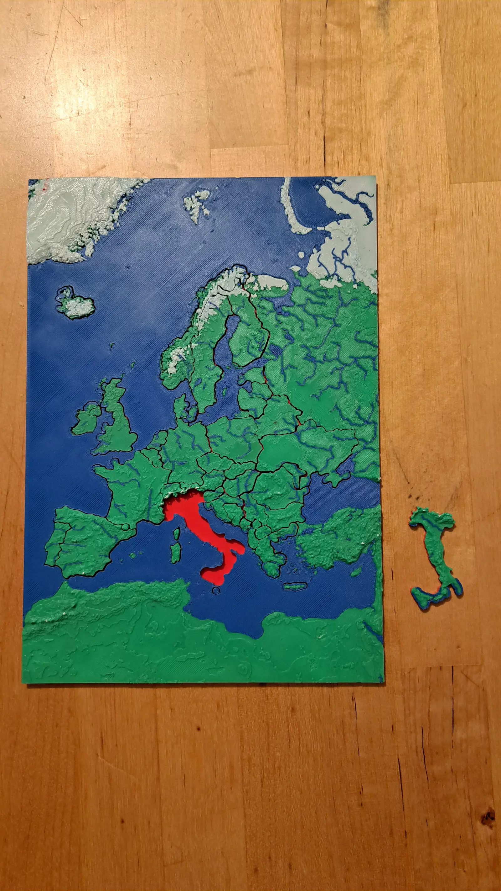
The political map, printed on the terrain it was drawn over. Forty-five pieces, from Andorra to Russia's western edge.
29 pieces · 1 mm ≈ 24.7 km
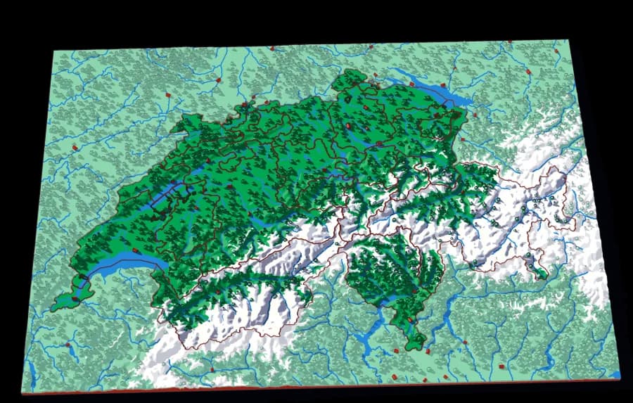
Level 3 of 5
Twenty-three cantons over the Alps
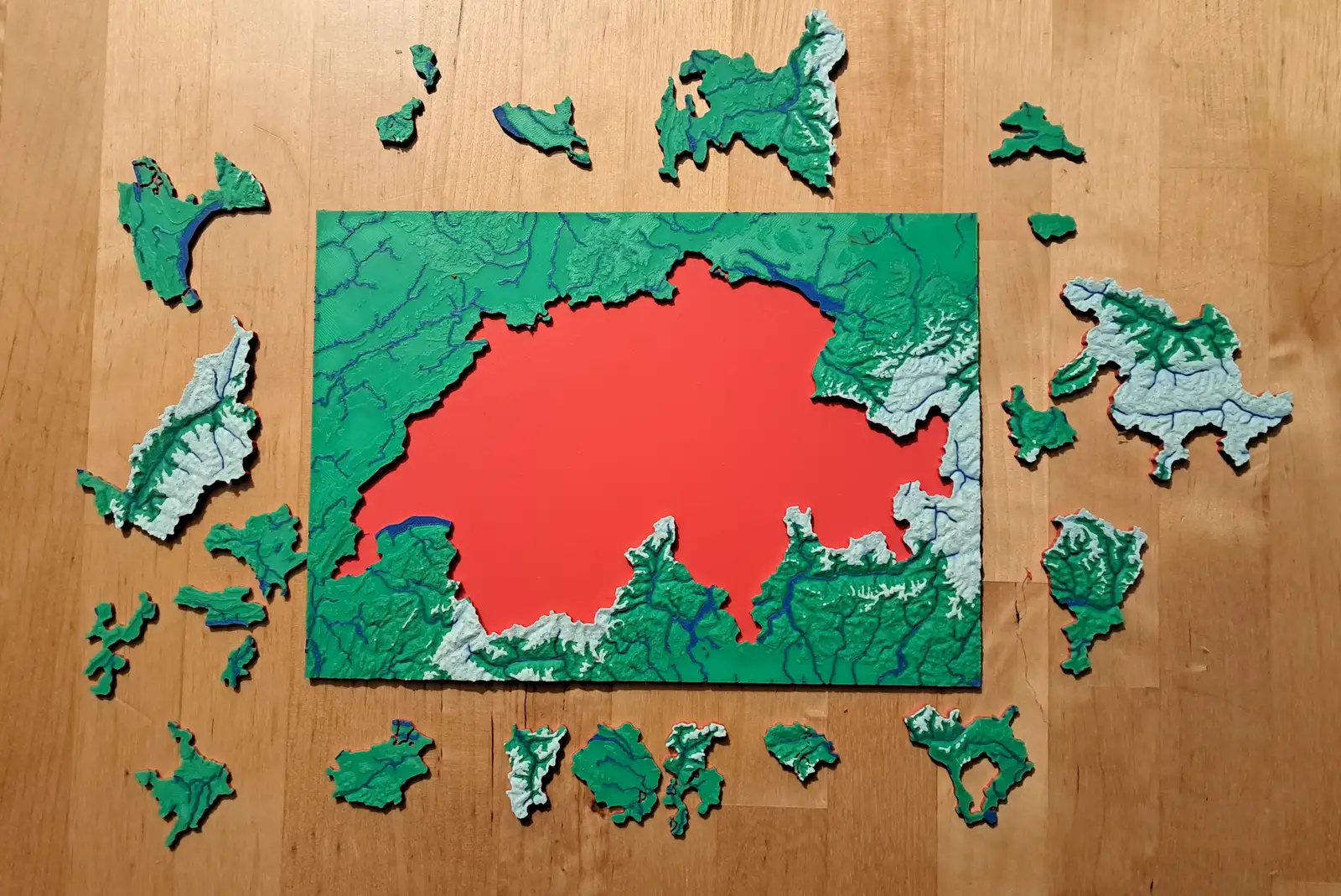
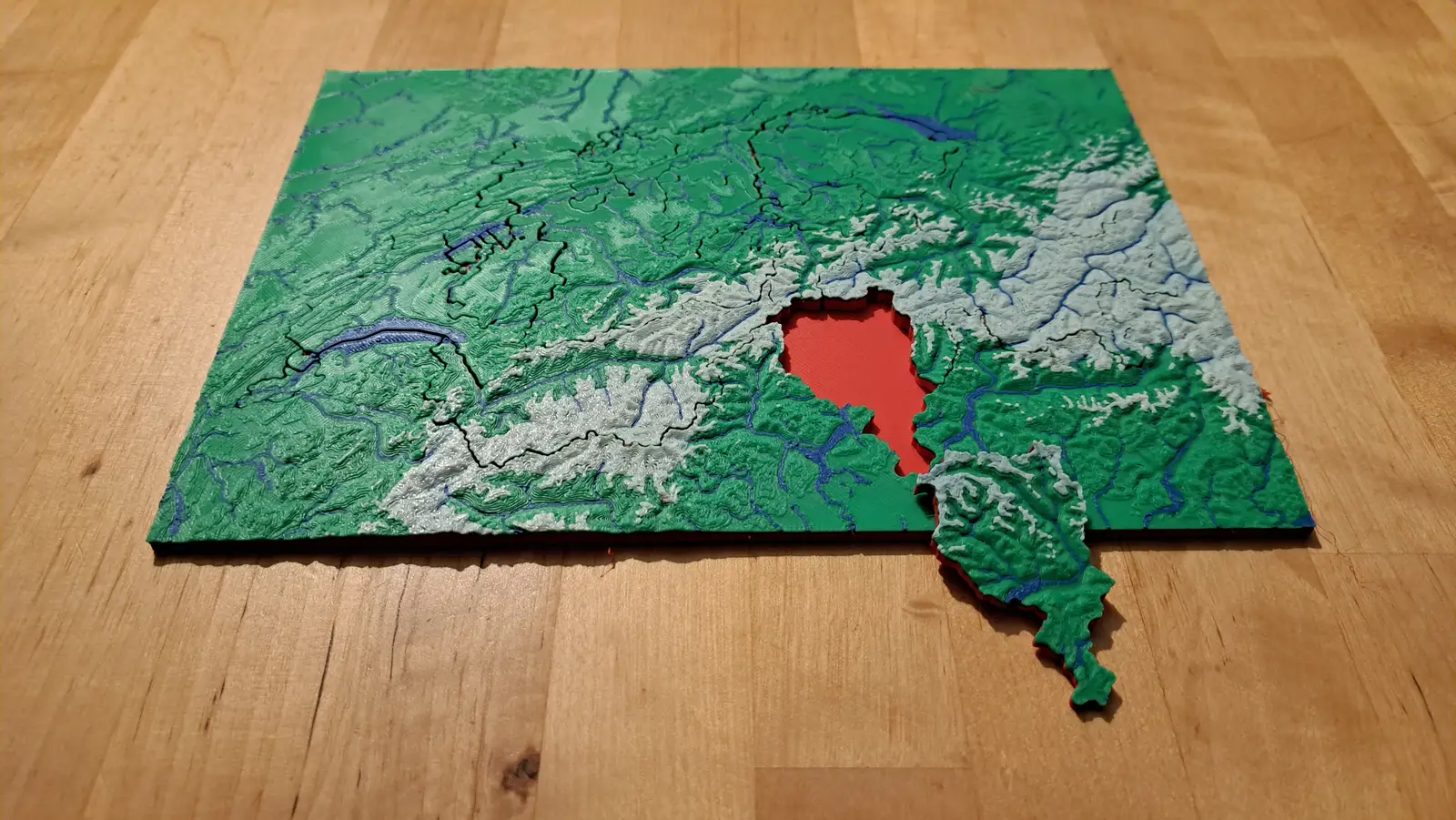
The cantons, printed at 1 mm to 1.5 km, with the Alps in white and every major lake in blue.
23 pieces · 1 mm ≈ 1.5 km
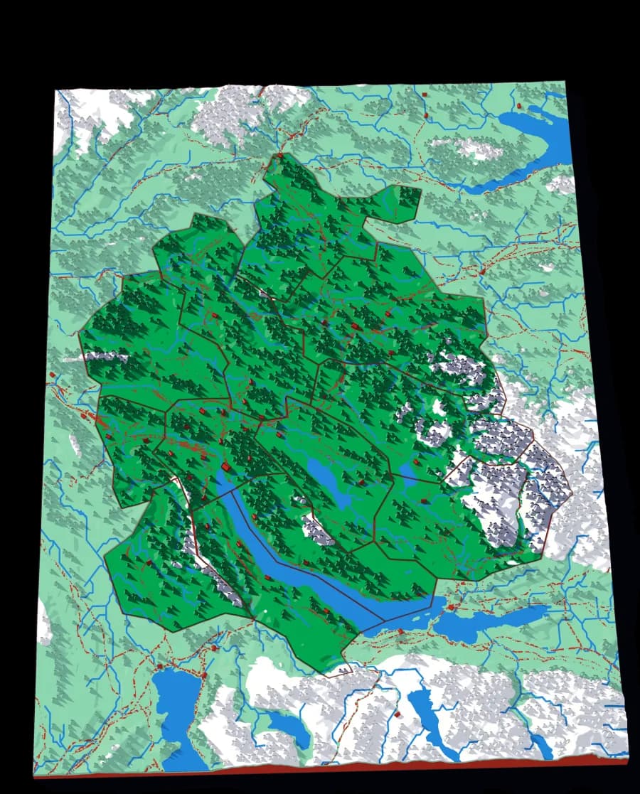
Level 4 of 5
Twelve districts around the lake
The whole canton at 305 metres to the millimetre, with the lake, the Glatt valley and the Albis ridge.
12 pieces · 1 mm ≈ 305 m
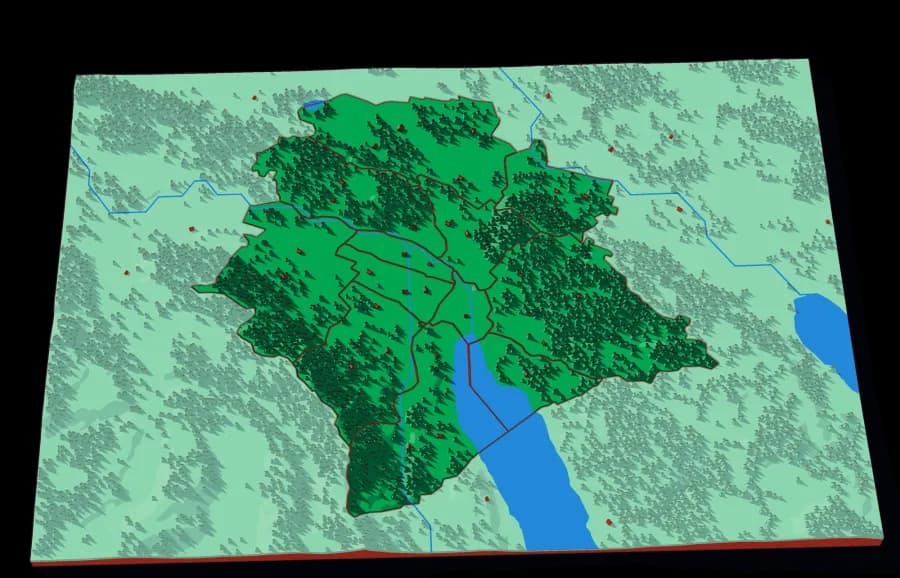
Level 5 of 5
The twelve Kreise
The city districts at 81 metres to the millimetre — the finest scale in the collection.
12 pieces · 1 mm ≈ 81 m
The Rhine down to the river that runs through Zürich
The same descent, cut the other way. A watershed is all the land whose rain ends up in the same river. Every cut follows a ridge, so each piece is one tributary's whole territory — and the piece you lift out of one plate is the subject of the next.
Starts at The Rhine: the plates above it aren't made yet.
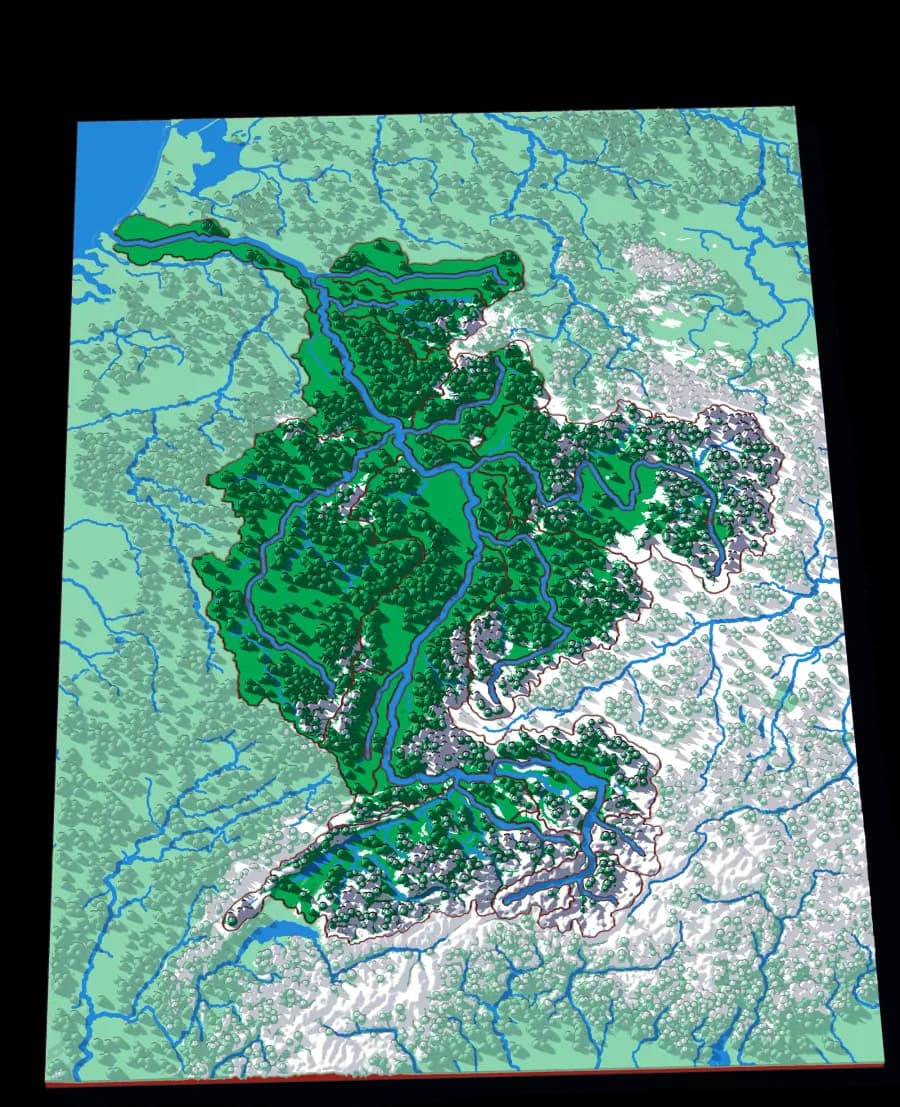
Level 1 of 3
From the Alps to the North Sea
Twenty pieces — the Aare, the Main, the Neckar, the Mosel — crossing six countries without showing one of them.
22 pieces · 1 mm ≈ 3.4 km
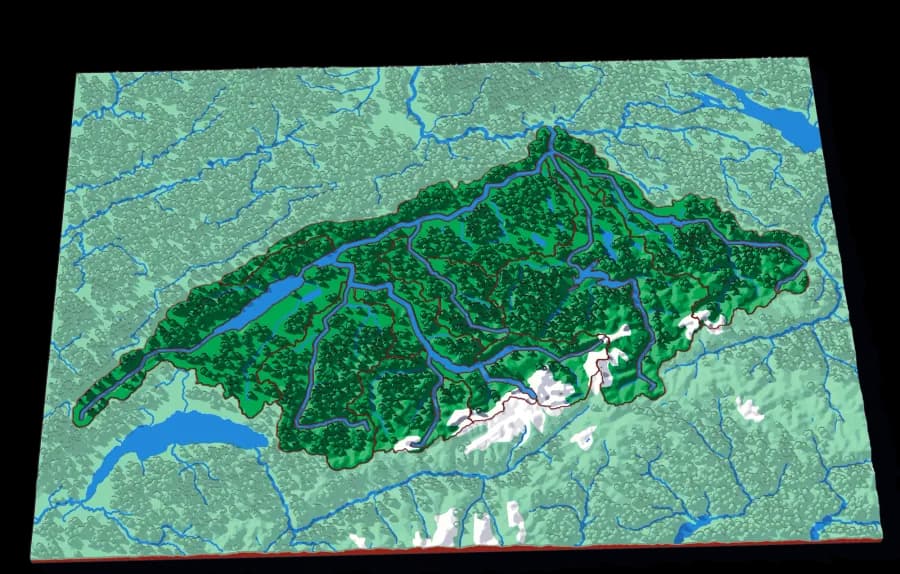
Level 2 of 3
Switzerland's own river, whole
Fifteen pieces — the Reuss, the Limmat, the Saane, the Zihl — covering most of the Swiss plateau.
15 pieces · 1 mm ≈ 1.1 km
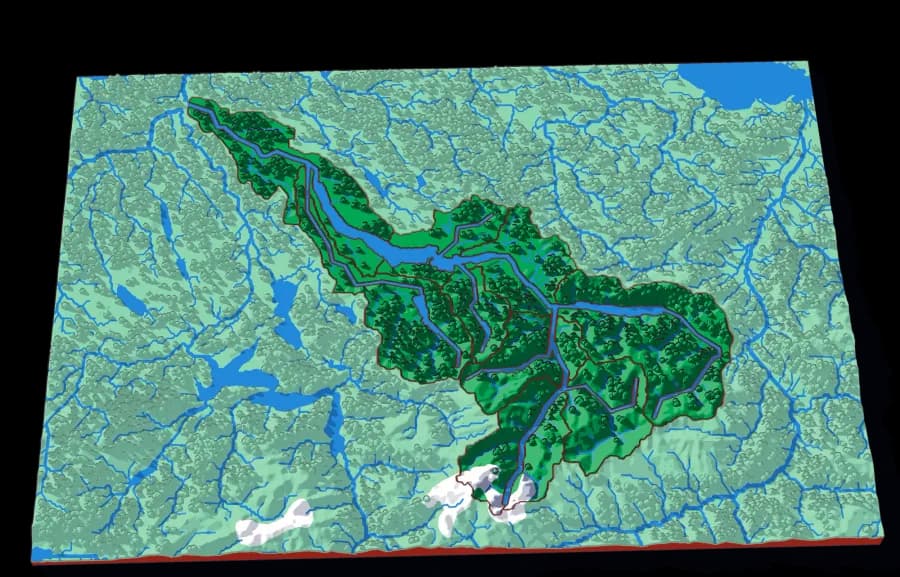
Level 3 of 3
Zürich's water, from the Glarus Alps down
Fifteen pieces following the Linth and the Limmat from the high Alps through the lake and out past Zürich.
15 pieces · 1 mm ≈ 517 m
Photographs of plates from this collection, as they came off the printer.