The Rhône
From the Rhône Glacier to the Mediterranean
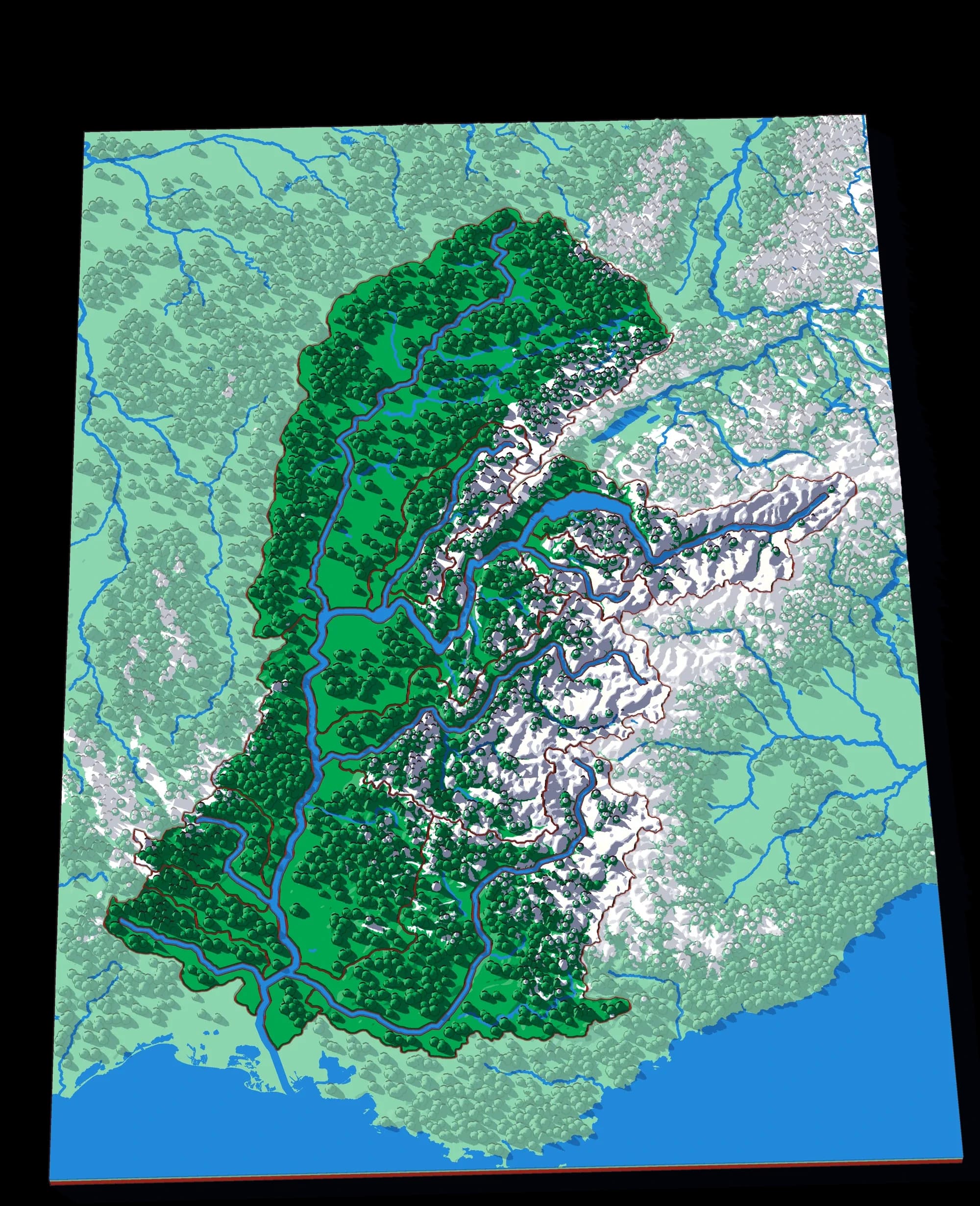
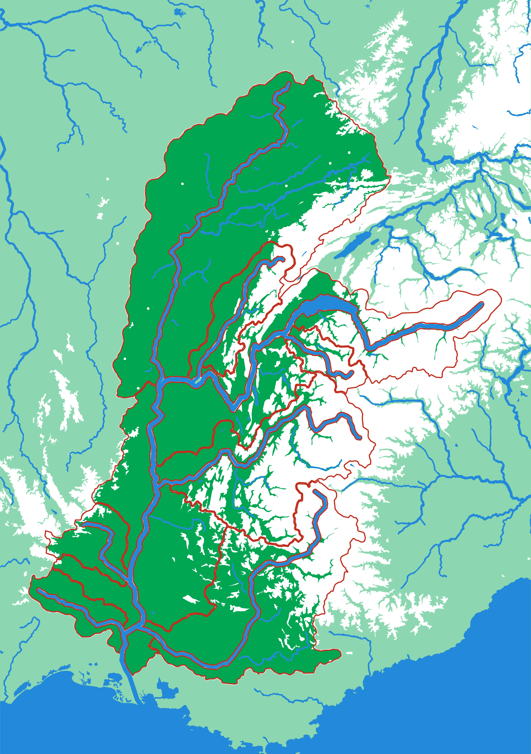
▶ Play it onlineThe Rhône starts as meltwater from a glacier in the Valais, runs the length of that valley, fills Lake Geneva, and then crosses into France to meet the Saône at Lyon. From there it runs straight south to the sea. The plate shows how lopsided that is: the whole Alpine side, with the Isère, the Durance and the Arve, pours in from the east, while the Saône brings the long, flat country of Burgundy down from the north. The main stem is carved into the surface as a channel you can follow with a finger.
What a child works out
- A lake can be part of a river: the Rhône goes in one end of Lake Geneva and out the other.
- Mountains on one side and plains on the other make a very uneven basin.
- The Rhine and the Rhône start a few kilometres apart and reach different seas.
A download, to print yourself
- A .3mf file with the colours already assigned
- One STL per piece, for any other slicer
- A print guide with the settings and the order to print in
- For your own use; the licence is in the download
What you need to print it
- A build plate that takes 176 × 250 mm: the Bambu Lab A1, P1S and X1C (256 mm) do, the A1 mini (180 mm) does not
- A multicolour setup such as an AMS, for the colours as designed
Printed it? Got an idea?
Send me photos of your print and I'll add them to this page — or tell me what you'd add, leave out or change on The Rhône.
The plate
- Pieces
- 13 pieces
- Plate
- 176 × 250 mm
- Scale
- 1 mm ≈ 2.5 km
- Vertical exaggeration
- × 2.12
- Thickness
- 8.8 mm
- Smallest piece
- 103 mm²
- Fit
- 0.35 mm clearance
- Material
- PLA, printed in Switzerland
8 named; the rest are sub-basins the source data leaves unnamed.
B5 — the size of a school exercise book.
How much ground one millimetre of plate covers.
Height is stretched by this factor so the relief is readable at desk size.
Nothing is cut smaller than a child can pick up.
Printed in place, so every piece seats first time without sanding.
Every named piece
- Ain
- Ardèche
- Arve
- Durance
- Durance 2
- Gardon
- Isère
- Saône
More from Watersheds
See all →
North America by River
A continent divided only by where water goes
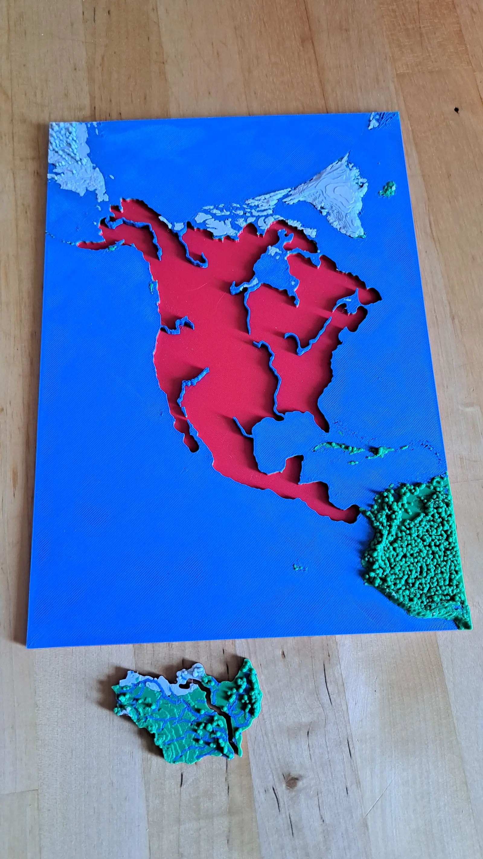
No countries, no states. Twenty-nine pieces, each one the whole territory that drains into a single river.
- Pieces
- 29 pieces
- Scale
- 1 mm ≈ 49.4 km
- Suitable for
- Ages 8 and up
- Price
- CHF 15.00
The Mississippi
The basin that drains a third of a continent
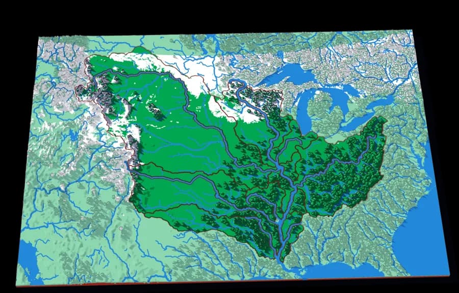
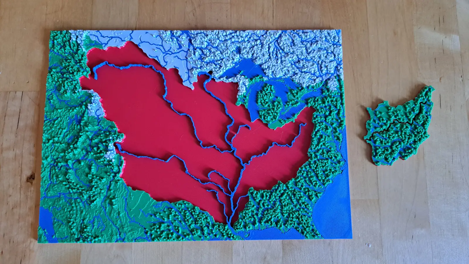
Fifteen pieces — Missouri, Ohio, Arkansas, Red, Illinois — that together are about three million square kilometres of drainage.
- Pieces
- 13 pieces
- Scale
- 1 mm ≈ 14.5 km
- Suitable for
- Ages 8 and up
- Price
- CHF 15.00
The Upper Mississippi
The river before the Missouri joins it
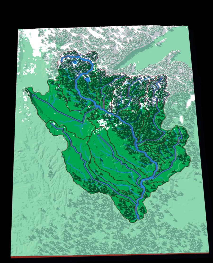
Twenty-one pieces — the Minnesota, the St Croix, the Wisconsin, the Des Moines, the Cedar — draining the northern half of the Mississippi.
- Pieces
- 16 pieces
- Scale
- 1 mm ≈ 4.7 km
- Suitable for
- Ages 8 and up
- Price
- CHF 15.00