Level 1 of 5
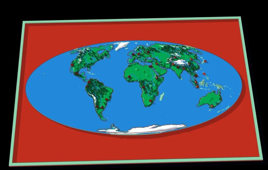
The World
Seven continents in one ocean
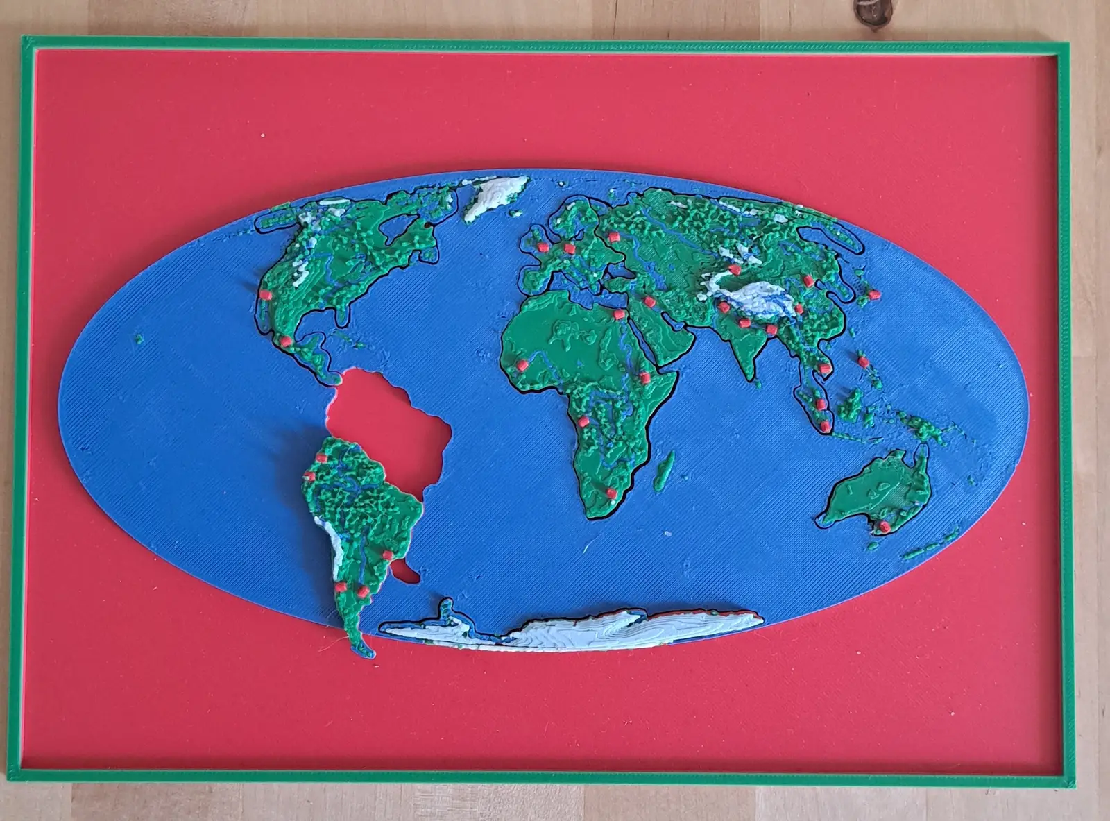
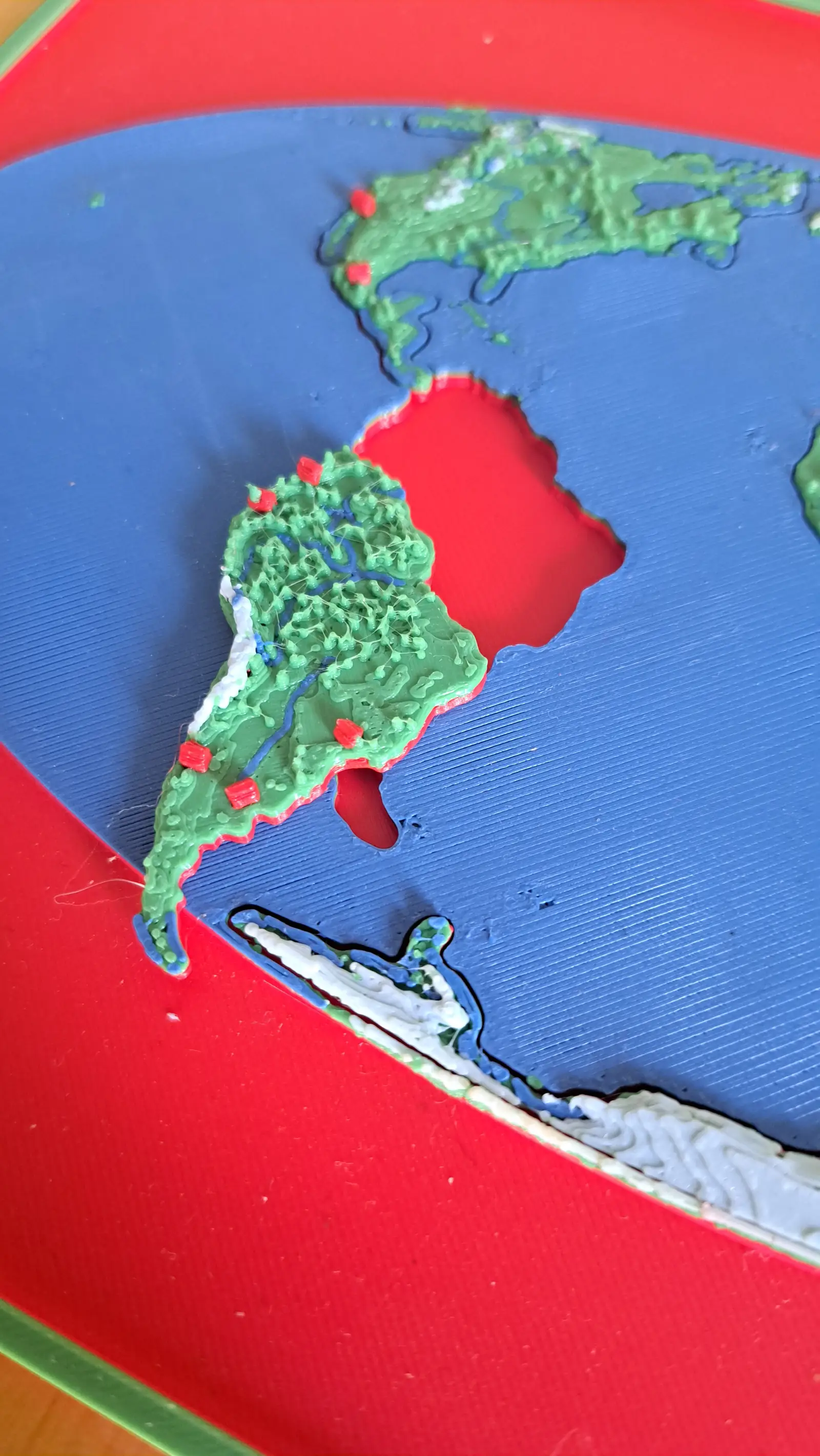
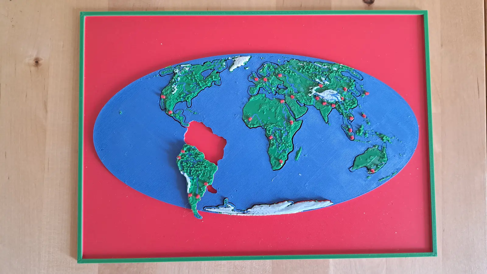
The whole planet on a B5 plate. Seven pieces lift out of a single sheet of ocean.
7 pieces · 1 mm ≈ 157 km
Collection
From the World down to Schwarzenburg.
5 plates, each a piece of the one above it, from the World down to this ground. Lift a piece out of one plate and it is the subject of the next.
From the whole World to ground you could walk across in an afternoon: the last plate is 1,846 times closer than the first, and every one of them is a real map at its own scale.
World → Europe → Switzerland → Canton Bern → Schwarzenburg
A descent cut by the lines people drew. A world is made of continents, a continent of countries, a country of regions, a region of towns — and each one is a plate whose piece becomes the next plate.
Level 1 of 5
Seven continents in one ocean
The whole planet on a B5 plate. Seven pieces lift out of a single sheet of ocean.
7 pieces · 1 mm ≈ 157 km
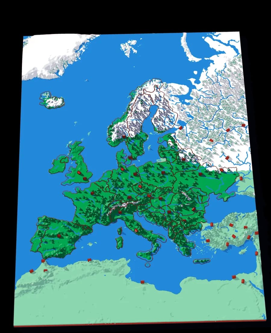
Level 2 of 5
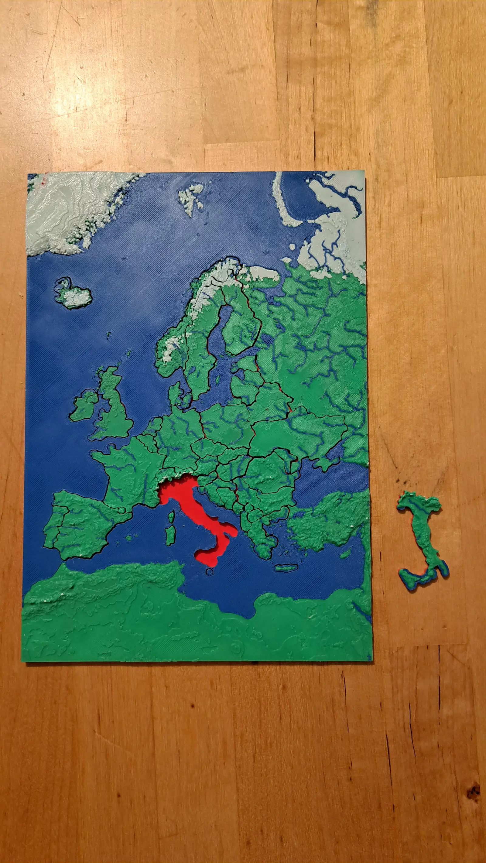
Forty-five countries at real elevation
The political map, printed on the terrain it was drawn over. Forty-five pieces, from Andorra to Russia's western edge.
29 pieces · 1 mm ≈ 24.7 km
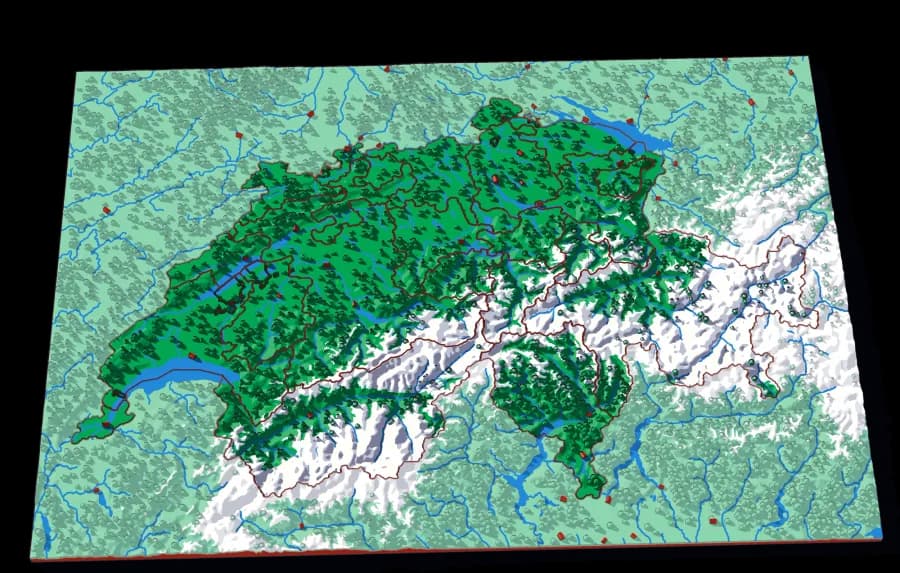
Level 3 of 5
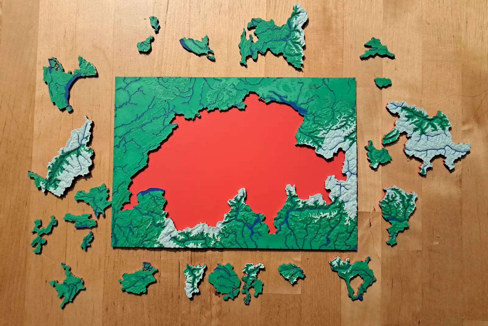
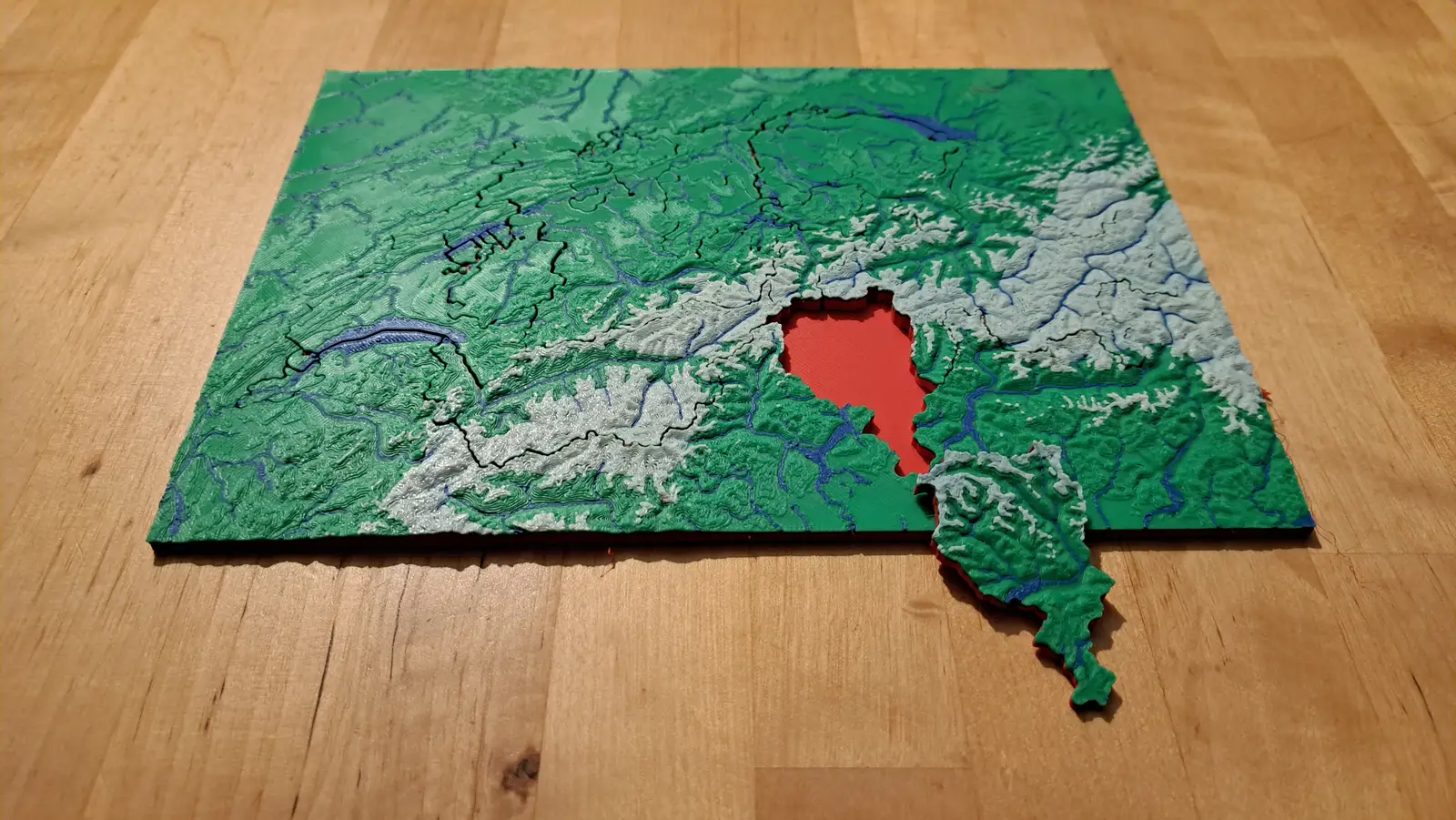
Twenty-three cantons over the Alps
The cantons, printed at 1 mm to 1.5 km, with the Alps in white and every major lake in blue.
23 pieces · 1 mm ≈ 1.5 km
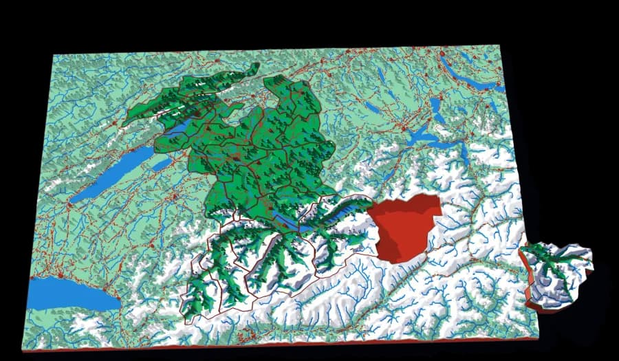
Level 4 of 5
Twenty-six districts, Jura to Jungfrau
The largest cantonal spread in the collection — from the folded Jura in the northwest to the high Bernese Alps.
26 pieces · 1 mm ≈ 724 m
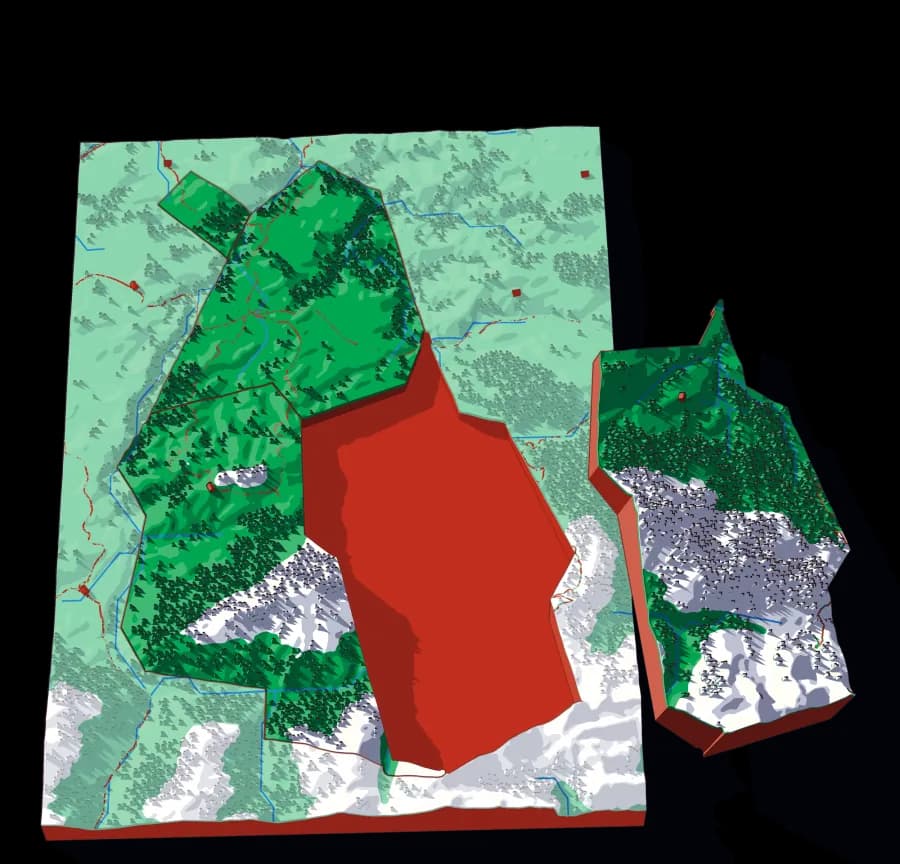
Level 5 of 5
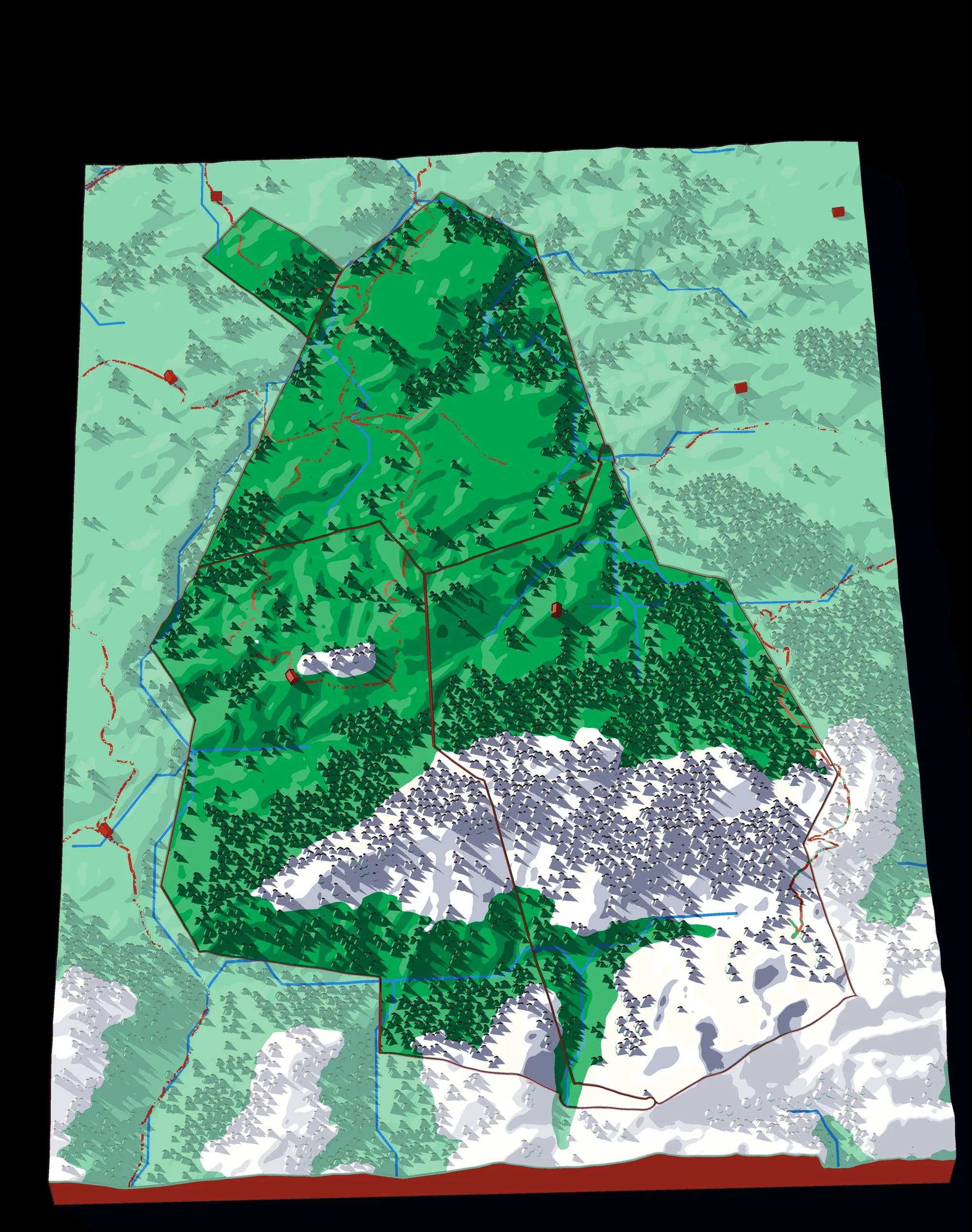
Four communes in the Bernese pre-Alps
Albligen, Guggisberg, Rüschegg and Wahlern at 85 metres to the millimetre.
4 pieces · 1 mm ≈ 85 m
Photographs of plates from this collection, as they came off the printer.