Schwarzenburg
Four communes in the Bernese pre-Alps
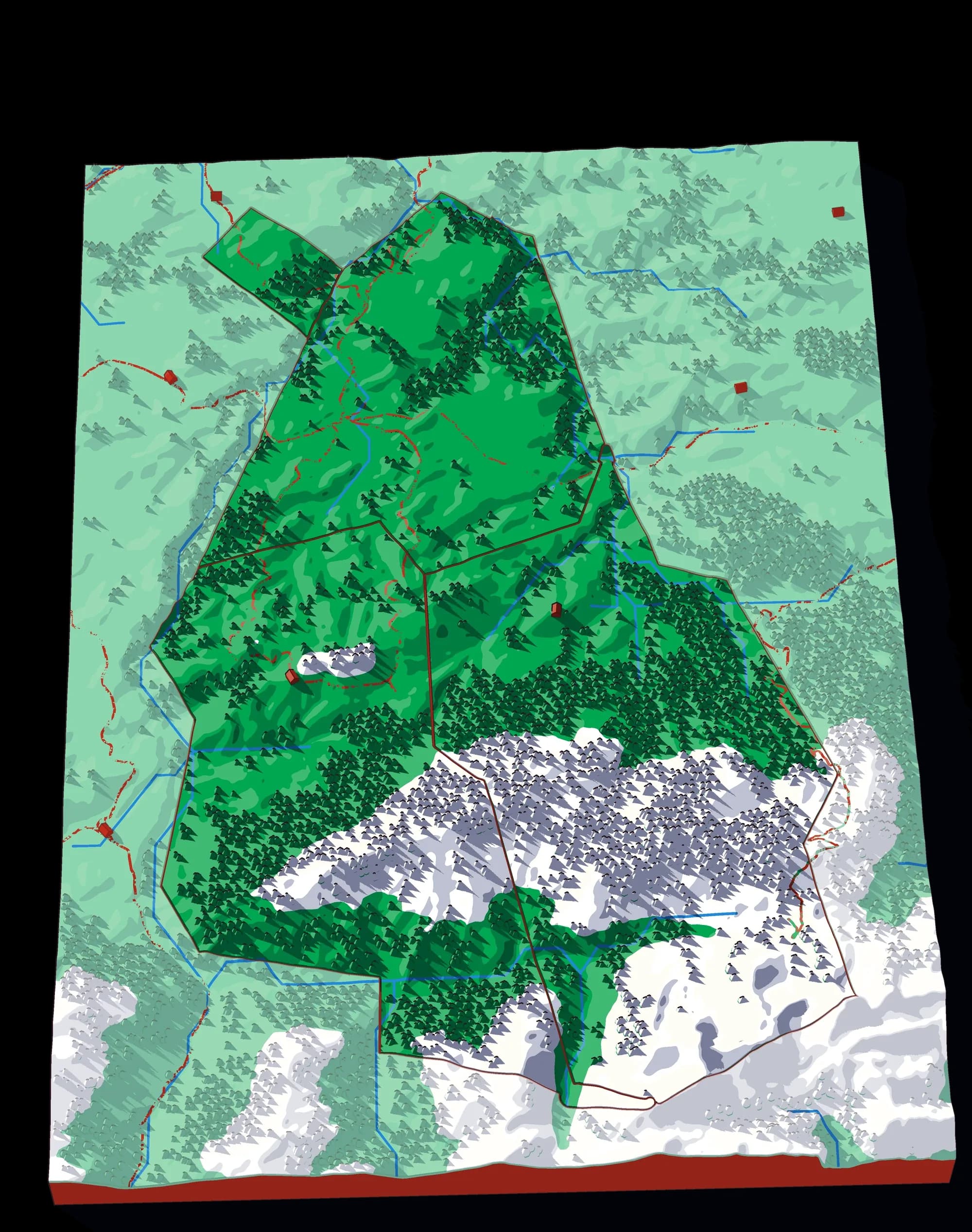
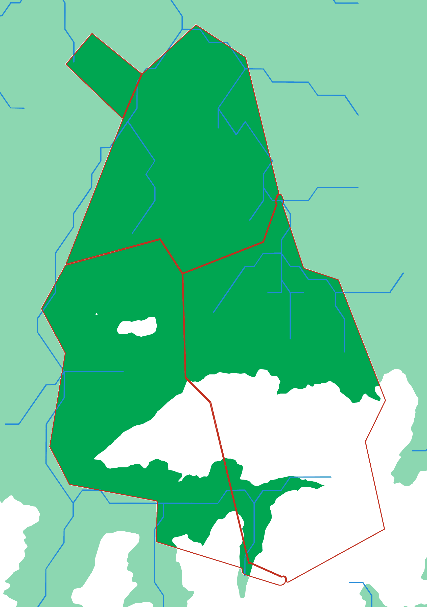
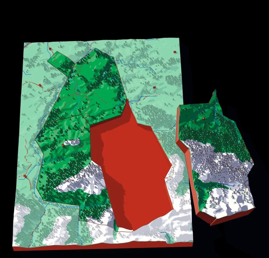
The Schwarzenburgerland is deeply cut pre-Alpine country — gorges, moraine ridges and high pasture — and at this scale the relief does nearly all the work of telling the pieces apart. Like Black Mountain it is a four-piece plate, which makes it an easy first puzzle that happens to be a serious map of a specific and not very famous place.
What a child works out
- Pre-Alpine country is steeper than it looks on a flat map.
- Communal boundaries in the hills follow streams and ridges.
- A place does not have to be famous to be worth mapping.
A download, to print yourself
- A .3mf file with the colours already assigned
- One STL per piece, for any other slicer
- A print guide with the settings and the order to print in
- For your own use; the licence is in the download
What you need to print it
- A build plate that takes 176 × 250 mm: the Bambu Lab A1, P1S and X1C (256 mm) do, the A1 mini (180 mm) does not
- A multicolour setup such as an AMS, for the colours as designed
What would make you want this one?
Another area, other pieces, bigger or smaller, more detail or less: tell me what would make Schwarzenburg the one you print.
The plate
- Pieces
- 4 pieces
- Plate
- 176 × 250 mm
- Scale
- 1 mm ≈ 85 m
- Vertical exaggeration
- × 1
- Thickness
- 8.8 mm
- Smallest piece
- 521 mm²
- Fit
- 0.35 mm clearance
- Material
- PLA, printed in Switzerland
B5 — the size of a school exercise book.
How much ground one millimetre of plate covers.
Height is stretched by this factor so the relief is readable at desk size.
Nothing is cut smaller than a child can pick up.
Printed in place, so every piece seats first time without sanding.
Put it back together in your browser →
Every named piece
- Albligen
- Guggisberg
- Rüschegg
- Wahlern
Zoom in, zoom out
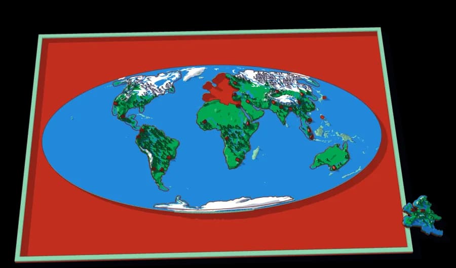
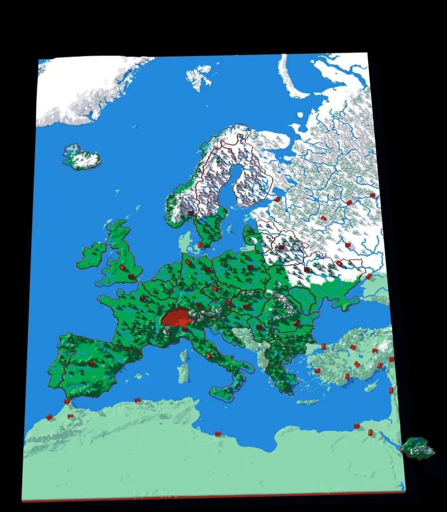
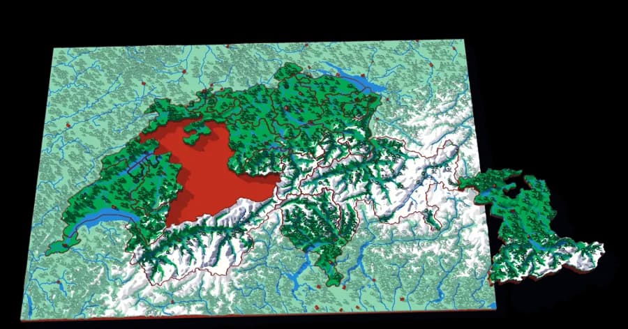
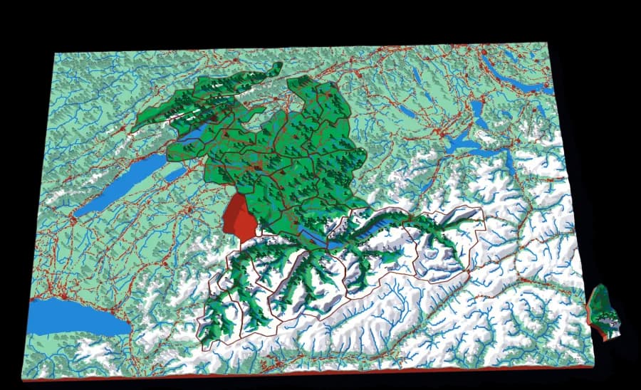
A piece of each of these is the subject of the next one. Each plate is redrawn at its own scale, so it is a real map at every level rather than an enlargement of the one above.
Follow the borders — World → Europe → Switzerland → Canton Bern → Schwarzenburg
More from Close to Home
See all →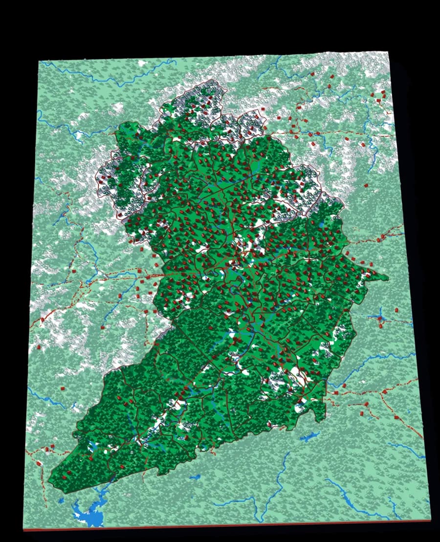
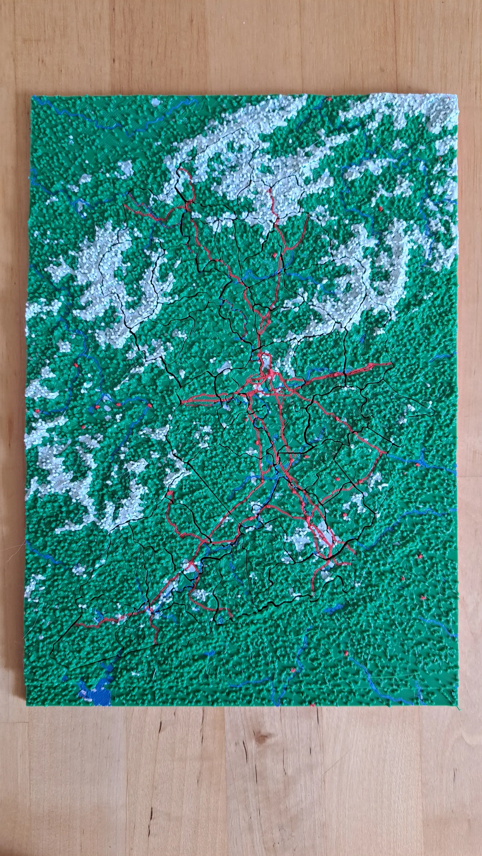
Land of Sky
Forty-three townships around Asheville
The most pieces of any plate in the collection, at a scale where you can find the road you live on.
- Pieces
- 43 pieces
- Scale
- 1 mm ≈ 522 m
- Suitable for
- Ages 8 and up
- Price
- CHF 15
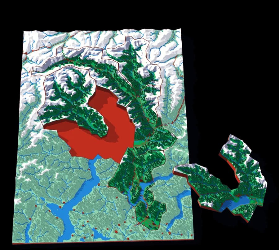
Ticino
Eight districts on the sunny side of the Alps
Bellinzona, Locarno, Lugano, Mendrisio, Blenio, Leventina, Riviera, Vallemaggia — eight pieces, all mountain.
- Pieces
- 8 pieces
- Scale
- 1 mm ≈ 387 m
- Suitable for
- Ages 6 and up
- Price
- CHF 15
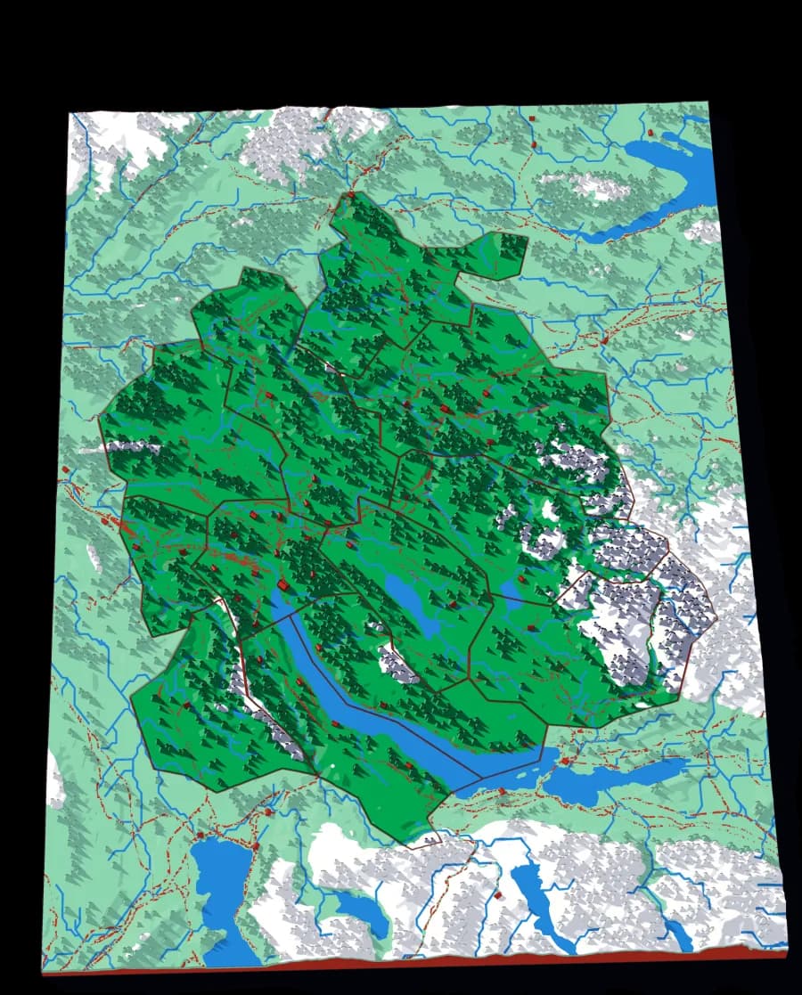
Canton Zürich
Twelve districts around the lake
The whole canton at 305 metres to the millimetre, with the lake, the Glatt valley and the Albis ridge.
- Pieces
- 12 pieces
- Scale
- 1 mm ≈ 305 m
- Suitable for
- Ages 6 and up
- Price
- CHF 15