The Ohio
Where the Appalachians drain west
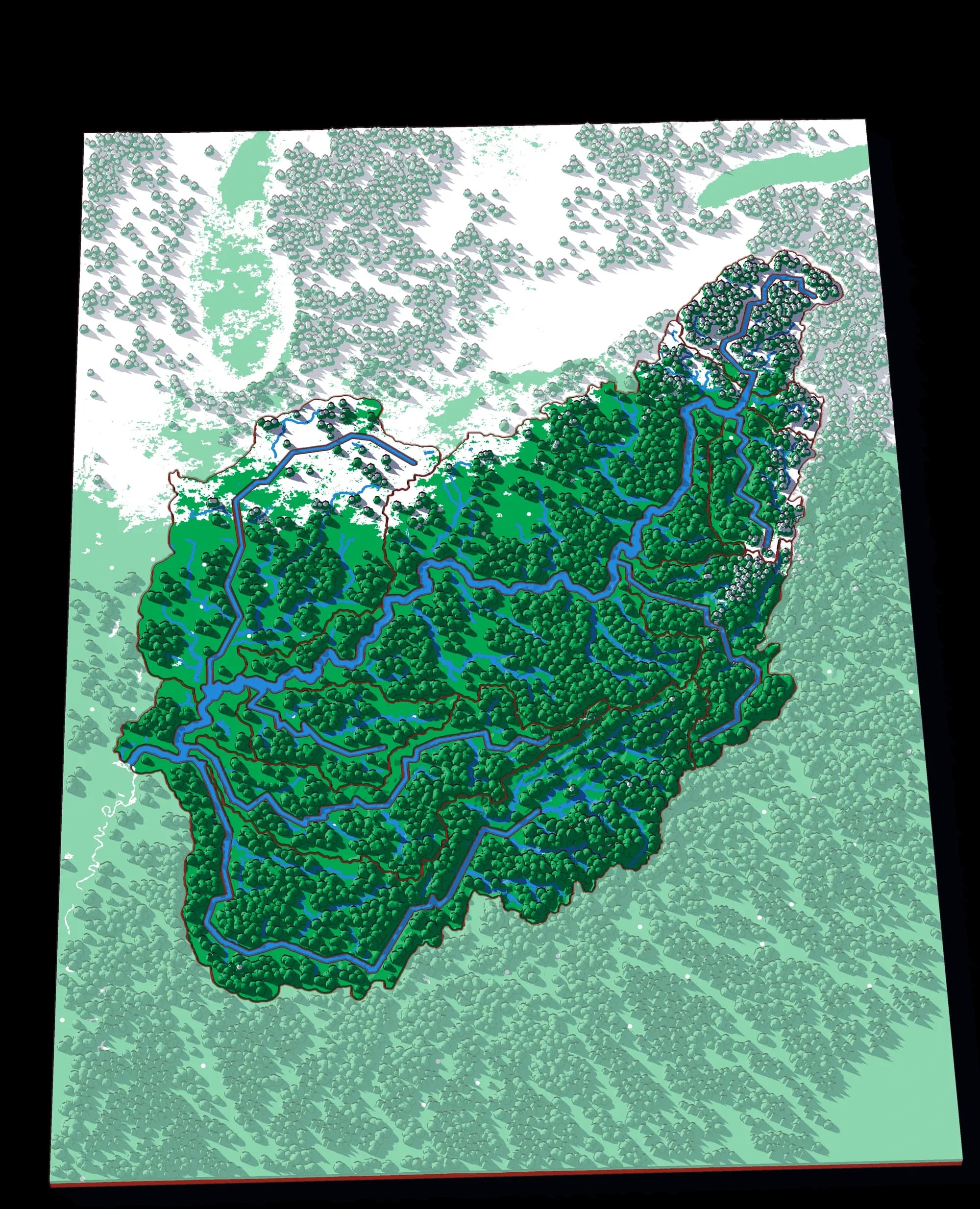
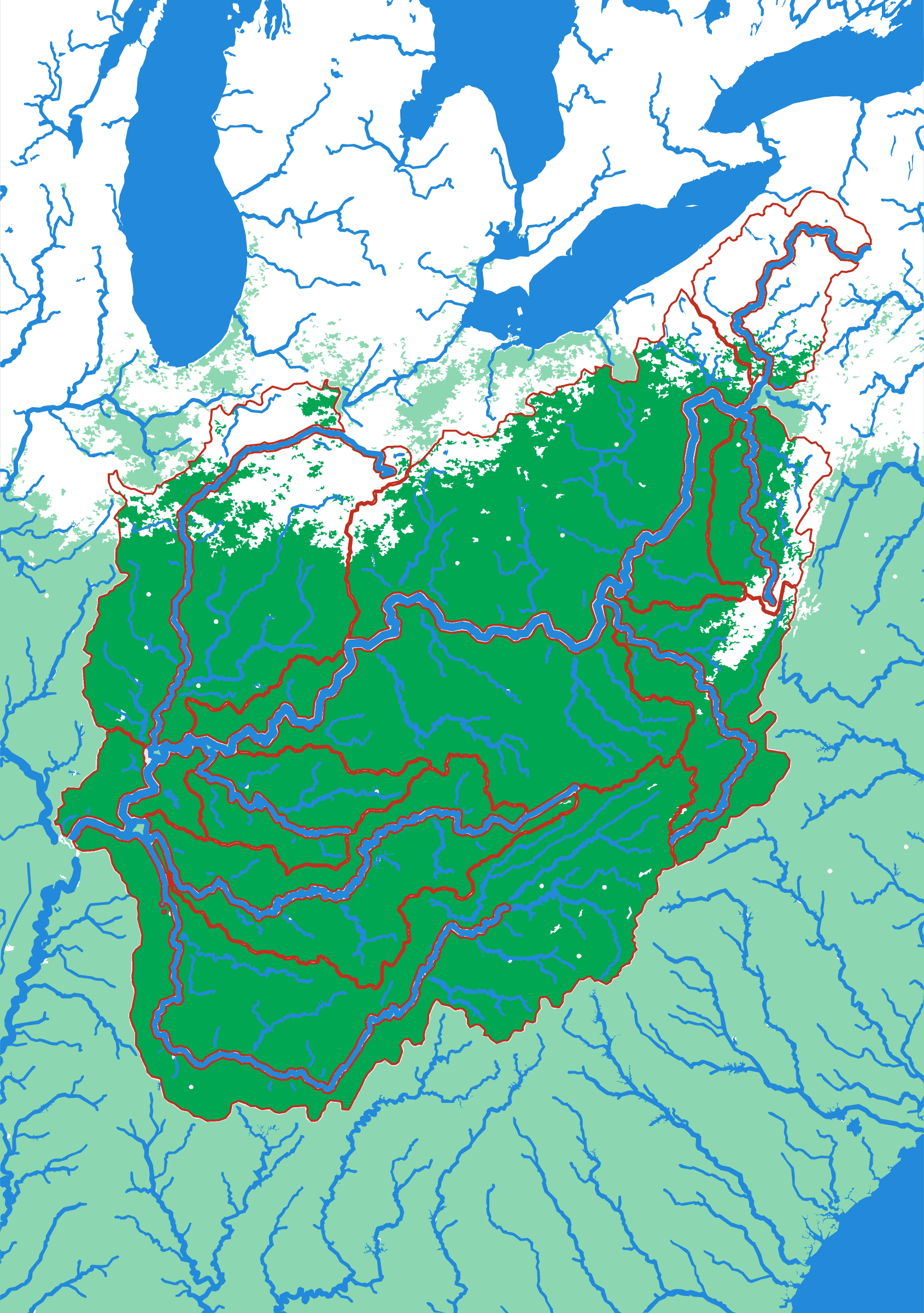
▶ Play it onlineThe Ohio is a river made almost entirely out of mountains. Take the plate apart and the Appalachian grain is unmistakable — the Allegheny and the Monongahela are long parallel fingers running with the ridges, and the Tennessee is a great hook that goes south, turns, and comes back north. It is the piece of the Mississippi puzzle that most rewards zooming in, which is why it is a puzzle of its own.
What a child works out
- Ridge lines, not roads, decide which way water leaves a hillside.
- Two rivers can start a few kilometres apart and meet a thousand kilometres later.
- The Tennessee's strange hooked shape is terrain, not accident.
A download, to print yourself
- A .3mf file with the colours already assigned
- One STL per piece, for any other slicer
- A print guide with the settings and the order to print in
- For your own use; the licence is in the download
What you need to print it
- A build plate that takes 176 × 250 mm: the Bambu Lab A1, P1S and X1C (256 mm) do, the A1 mini (180 mm) does not
- A multicolour setup such as an AMS, for the colours as designed
Printed it? Got an idea?
Send me photos of your print and I'll add them to this page — or tell me what you'd add, leave out or change on The Ohio.
The plate
- Pieces
- 14 pieces
- Plate
- 176 × 250 mm
- Scale
- 1 mm ≈ 5.8 km
- Vertical exaggeration
- × 11.69
- Thickness
- 8.8 mm
- Smallest piece
- 109 mm²
- Fit
- 0.35 mm clearance
- Material
- PLA, printed in Switzerland
8 named; the rest are sub-basins the source data leaves unnamed.
B5 — the size of a school exercise book.
How much ground one millimetre of plate covers.
Height is stretched by this factor so the relief is readable at desk size.
Nothing is cut smaller than a child can pick up.
Printed in place, so every piece seats first time without sanding.
Every named piece
- Allegheny
- Allegheny 2
- Cumberland
- Monongahela
- Monongahela 2
- Muskingum
- Tennessee
- Wabash
Zoom in, zoom out
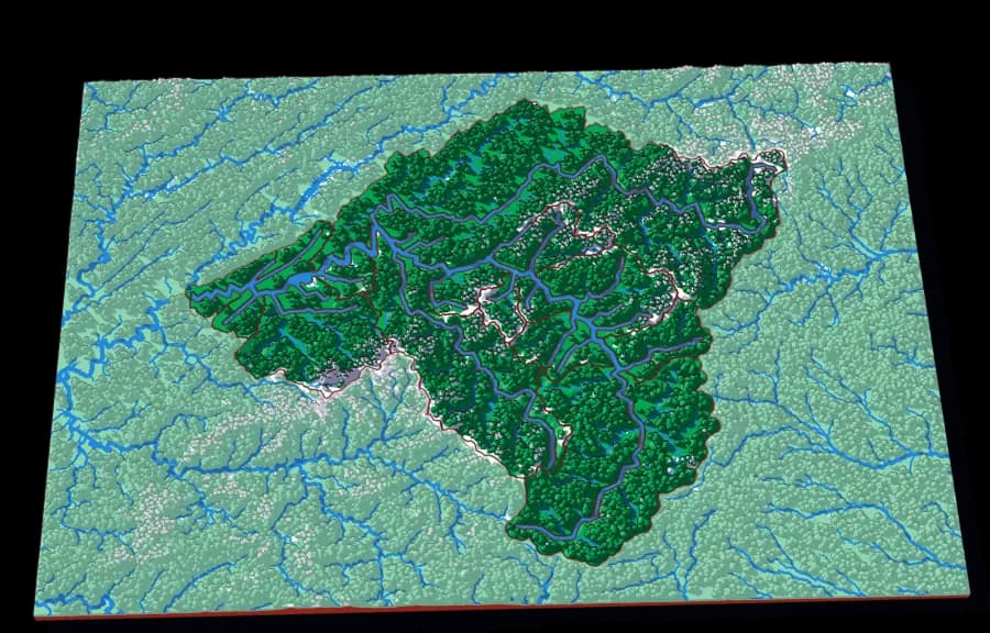
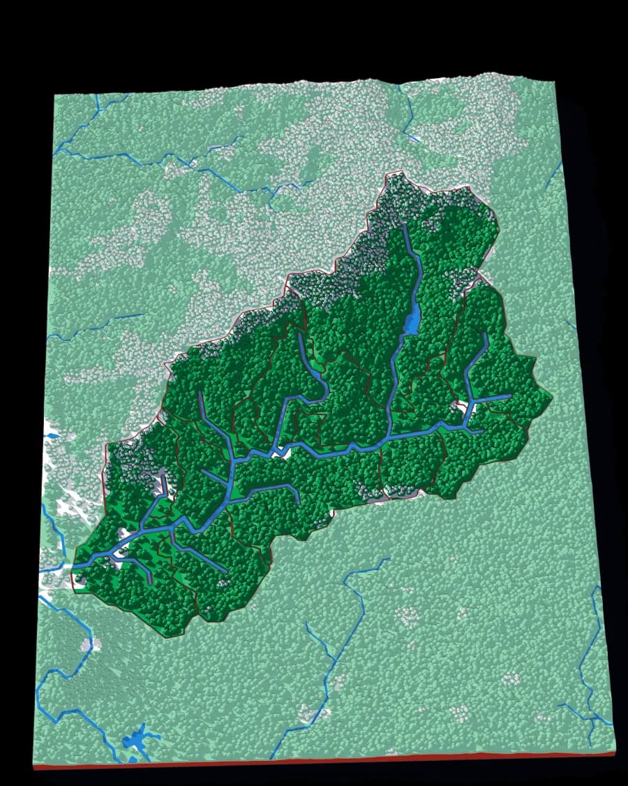
A piece of each of these is the subject of the next one. Each plate is redrawn at its own scale, so it is a real map at every level rather than an enlargement of the one above.
Follow the water — A continent to one creek, cut by ridge lines with no borders
More from Watersheds
See all →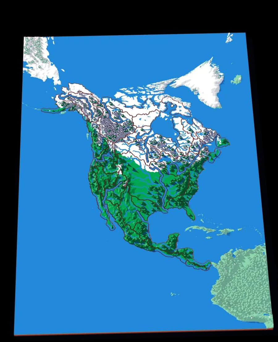
North America by River
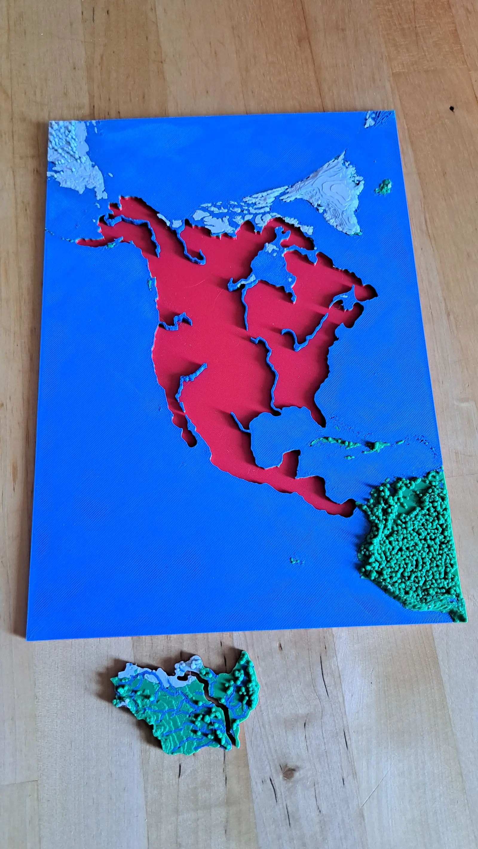
A continent divided only by where water goes
No countries, no states. Twenty-nine pieces, each one the whole territory that drains into a single river.
- Pieces
- 29 pieces
- Scale
- 1 mm ≈ 49.4 km
- Suitable for
- Ages 8 and up
- Price
- CHF 15.00
The Mississippi
The basin that drains a third of a continent
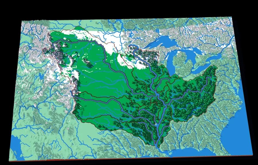
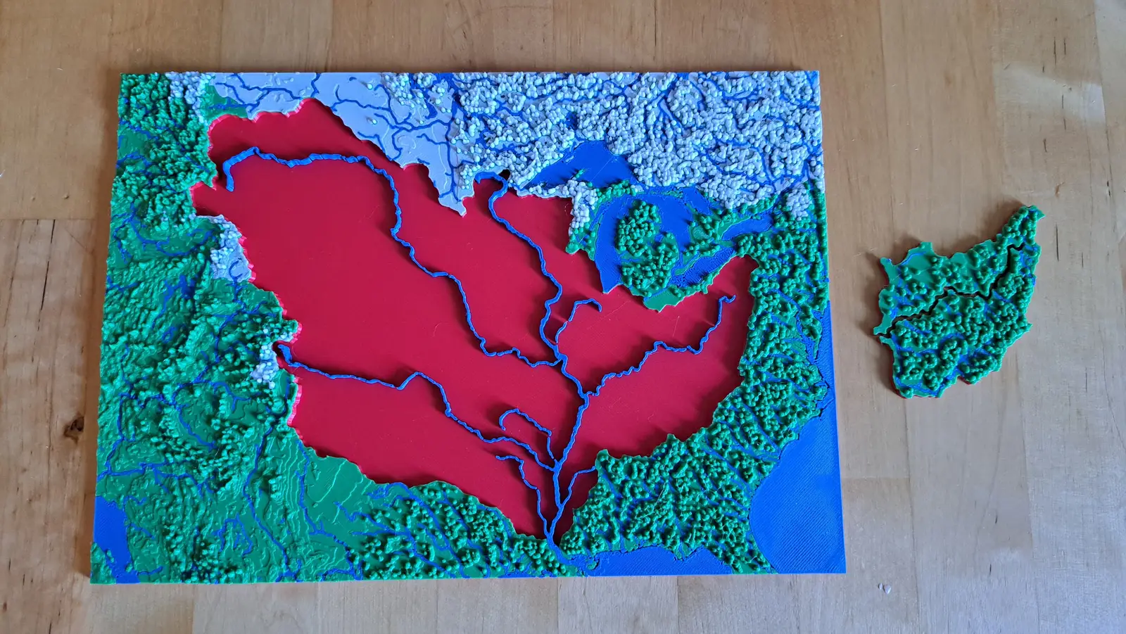
Fifteen pieces — Missouri, Ohio, Arkansas, Red, Illinois — that together are about three million square kilometres of drainage.
- Pieces
- 13 pieces
- Scale
- 1 mm ≈ 14.5 km
- Suitable for
- Ages 8 and up
- Price
- CHF 15.00
The Upper Mississippi
The river before the Missouri joins it
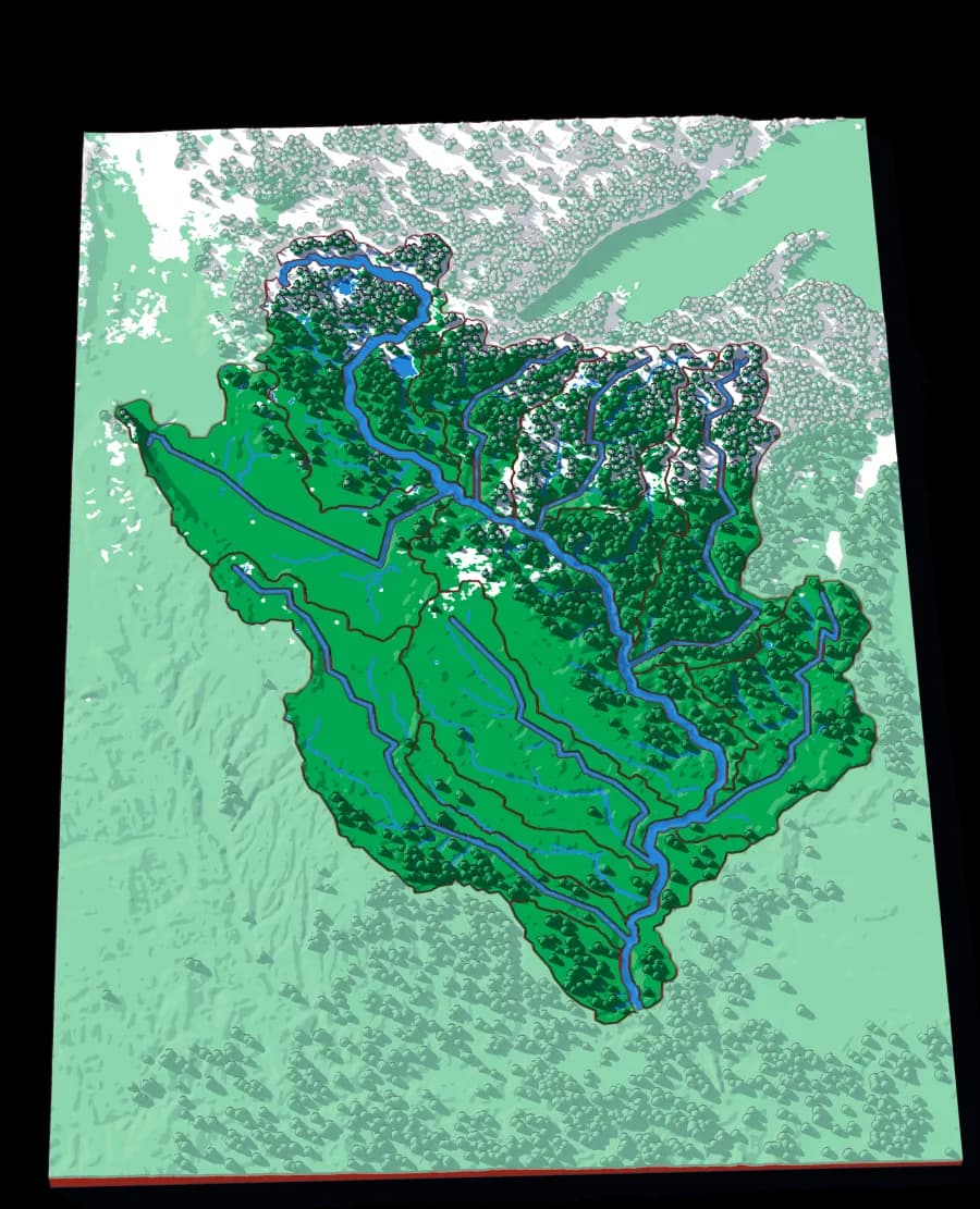
Twenty-one pieces — the Minnesota, the St Croix, the Wisconsin, the Des Moines, the Cedar — draining the northern half of the Mississippi.
- Pieces
- 16 pieces
- Scale
- 1 mm ≈ 4.7 km
- Suitable for
- Ages 8 and up
- Price
- CHF 15.00