Level 1 of 6
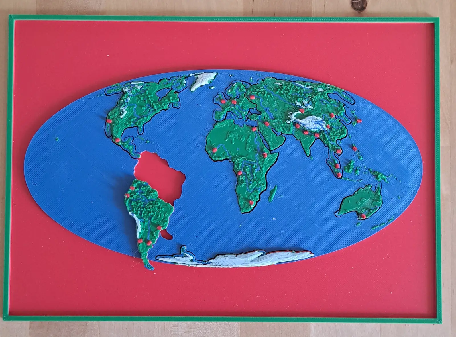
The World
Seven continents in one ocean
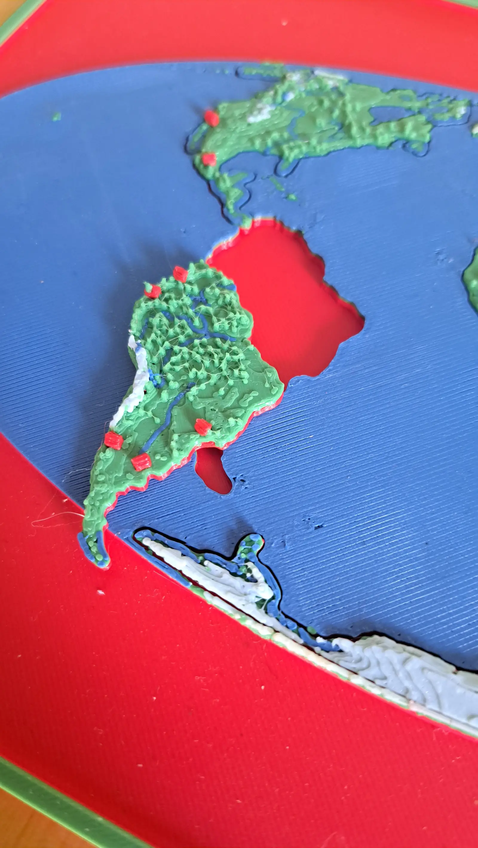
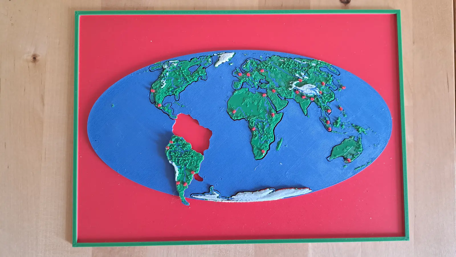
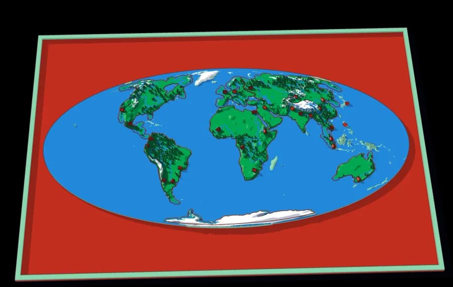
The whole planet on a B5 plate. Seven pieces lift out of a single sheet of ocean.
7 pieces · 1 mm ≈ 157 km
Collection
Ending in one creek valley below a stone town in the Colombian Andes.
6 plates, each a piece of the one above it, from the World down to this ground. Lift a piece out of one plate and it is the subject of the next.
From the whole World to ground you could walk across in an afternoon: the last plate is 1,846 times closer than the first, and every one of them is a real map at its own scale.
The world to the creek below Barichara, cut by ridge lines
The same descent, cut the other way. A watershed is all the land whose rain ends up in the same river. Every cut follows a ridge, so each piece is one tributary's whole territory — and the piece you lift out of one plate is the subject of the next.
Level 1 of 6
Seven continents in one ocean
The whole planet on a B5 plate. Seven pieces lift out of a single sheet of ocean.
7 pieces · 1 mm ≈ 157 km
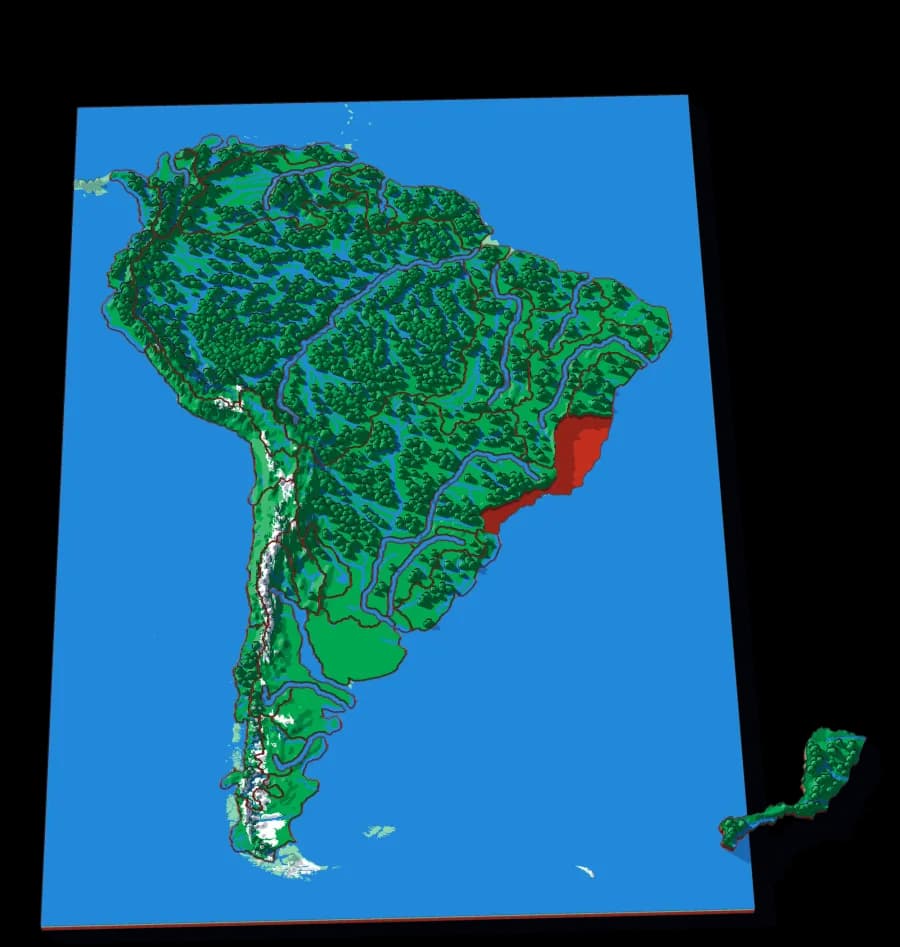
Level 2 of 6
A continent cut along its ridges, not its borders
No countries. The Amazon, the Paraná, the Orinoco, the Magdalena: each piece is the whole territory that drains into one river, and the coasts are cut into stretches of short rivers.
31 pieces · 1 mm ≈ 32.8 km
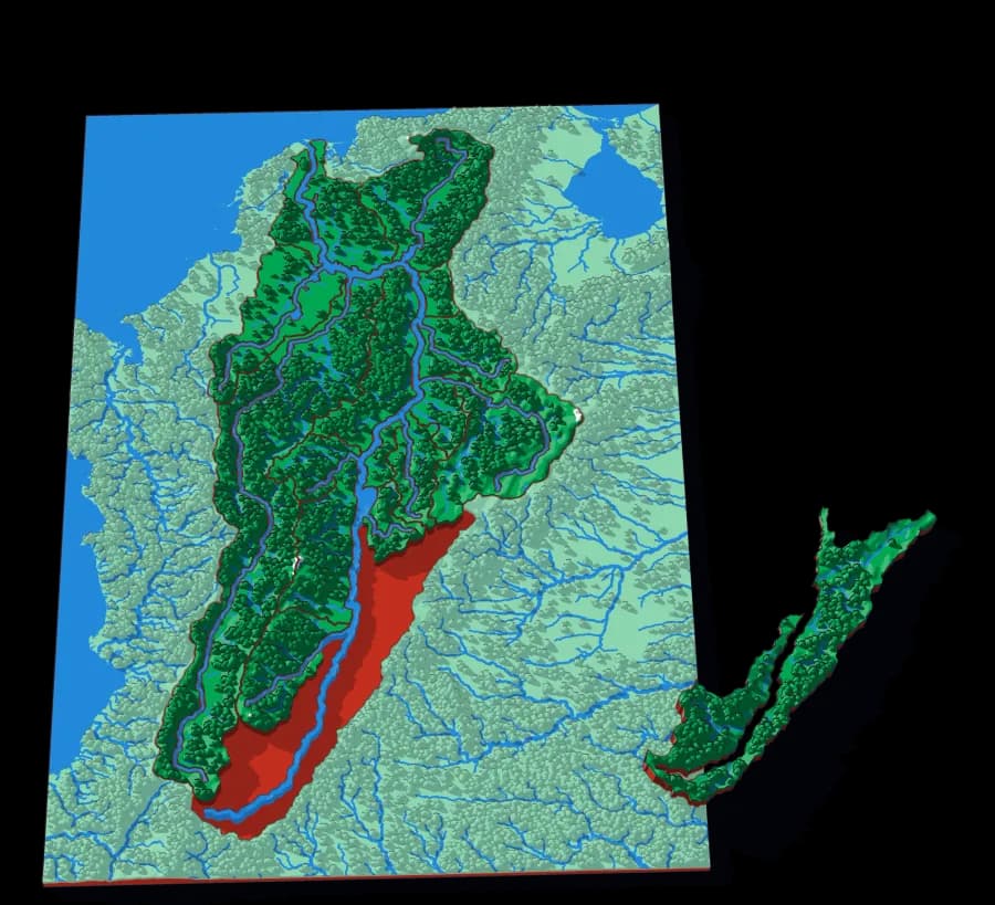
Level 3 of 6
Colombia's river, from the Andes to the Caribbean
The Cauca, the Sogamoso, the Cesar, the Saldaña: the basin of the river that runs the length of Colombia between two ranges of the Andes.
17 pieces · 1 mm ≈ 4.3 km
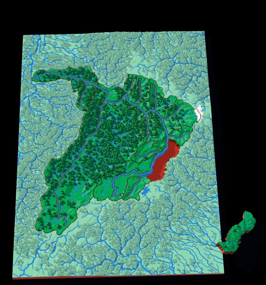
Level 4 of 6
Where the Chicamocha and the Suárez meet
The Chicamocha, the Suárez, the Fonce's neighbours: the rivers of the eastern Andes that cut down through Santander to the Magdalena.
20 pieces · 1 mm ≈ 1.3 km
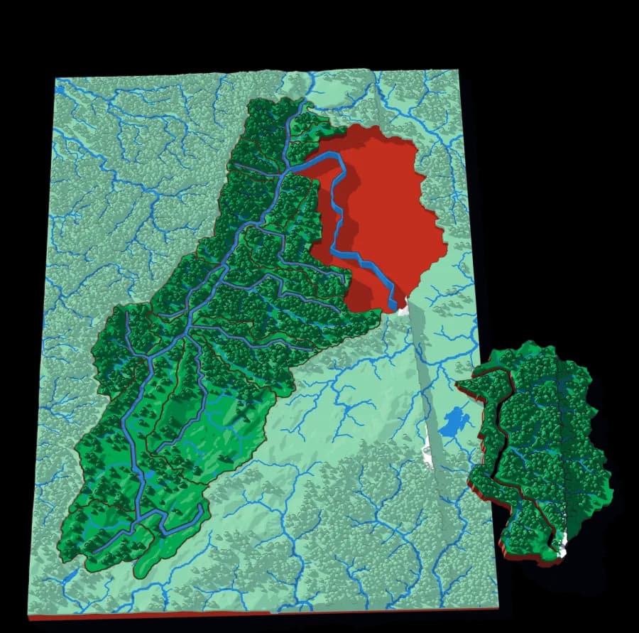
Level 5 of 6
From the Ubaté valley down to the Chicamocha
The Fonce, the Moniquirá, the Oibita, the Suta: the basin of the river that runs below Barichara's plateau.
18 pieces · 1 mm ≈ 791 m
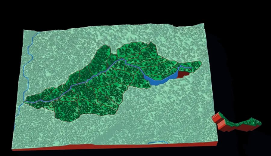
Level 6 of 6
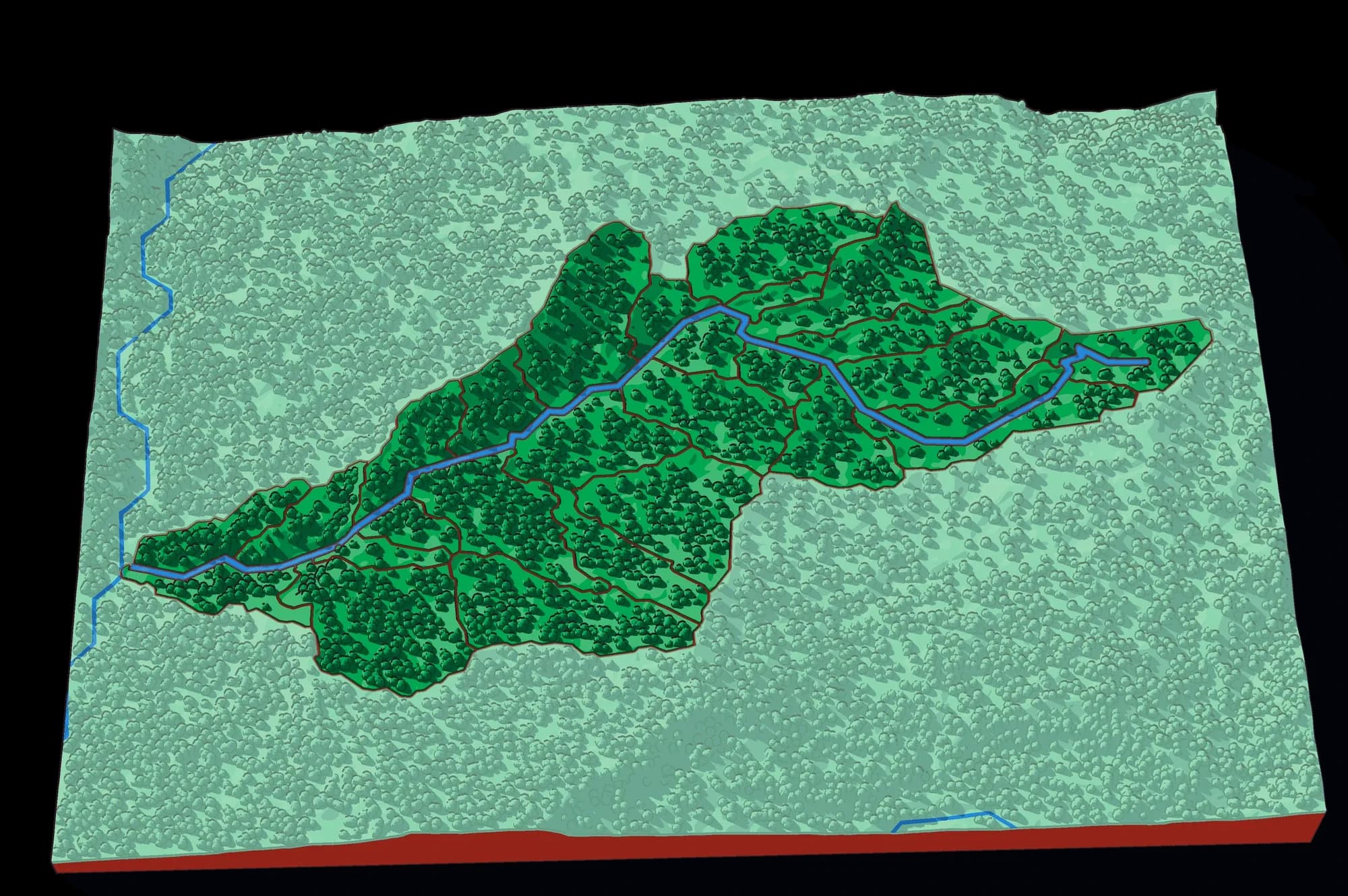
One creek valley below a colonial town
The end of the descent: the valley of the Quebrada Barichara, cut into the small catchments that feed it, from the town on its rim down to the Suárez.
26 pieces · 1 mm ≈ 85 m
Photographs of plates from this collection, as they came off the printer.