The Sogamoso
Where the Chicamocha and the Suárez meet
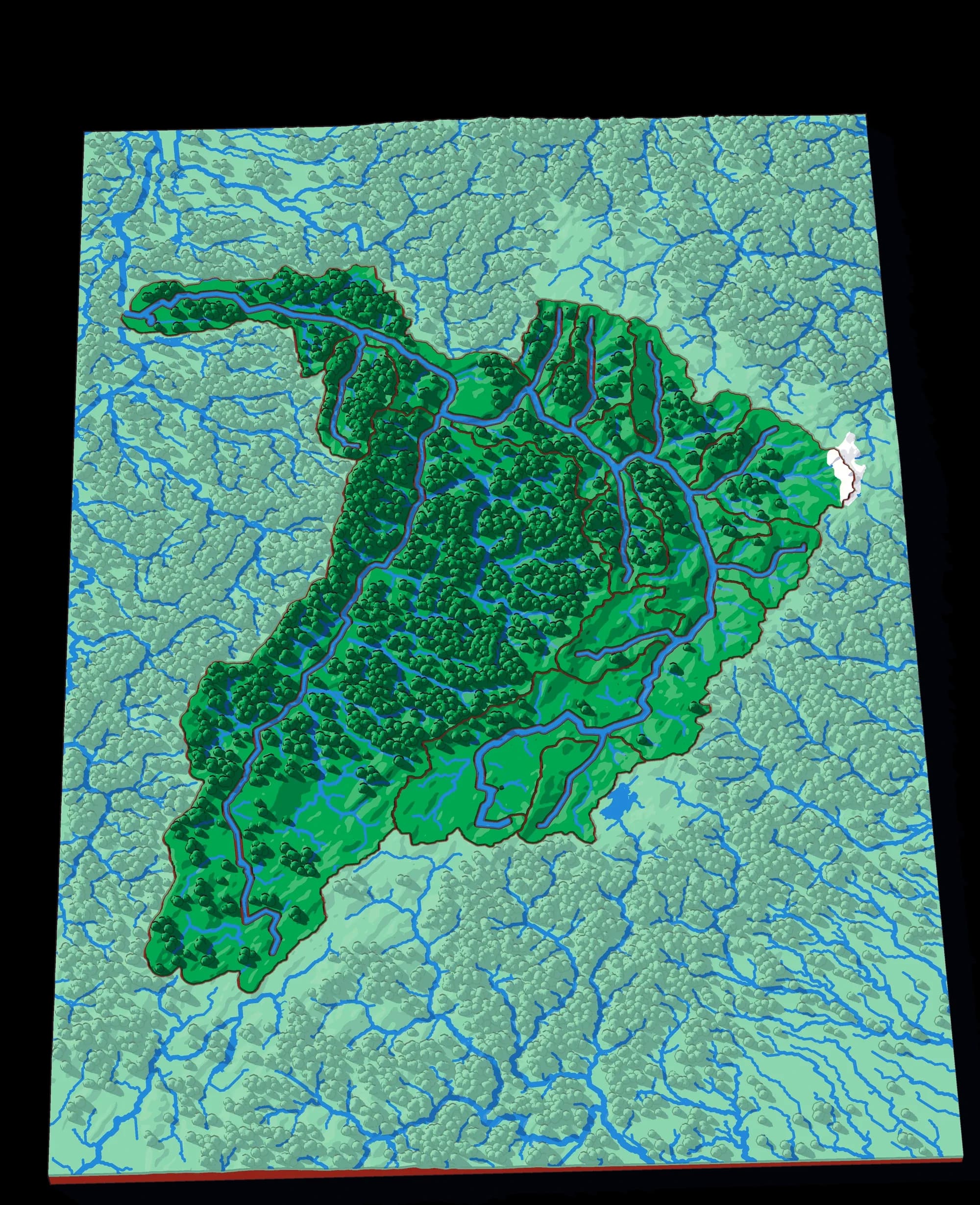
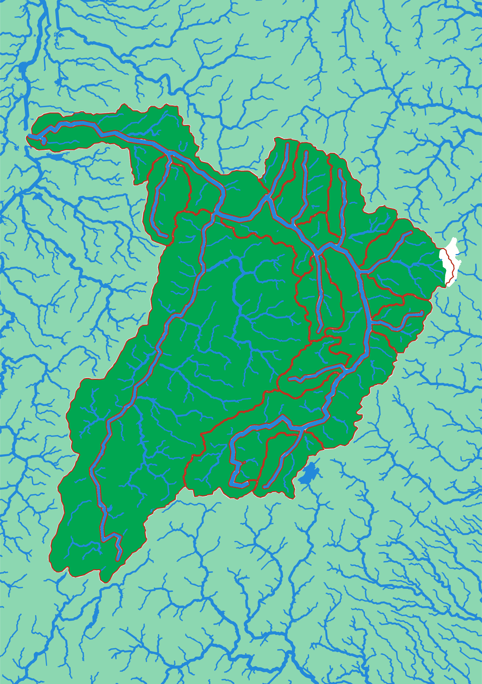
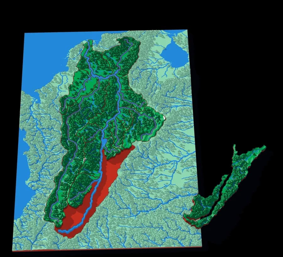
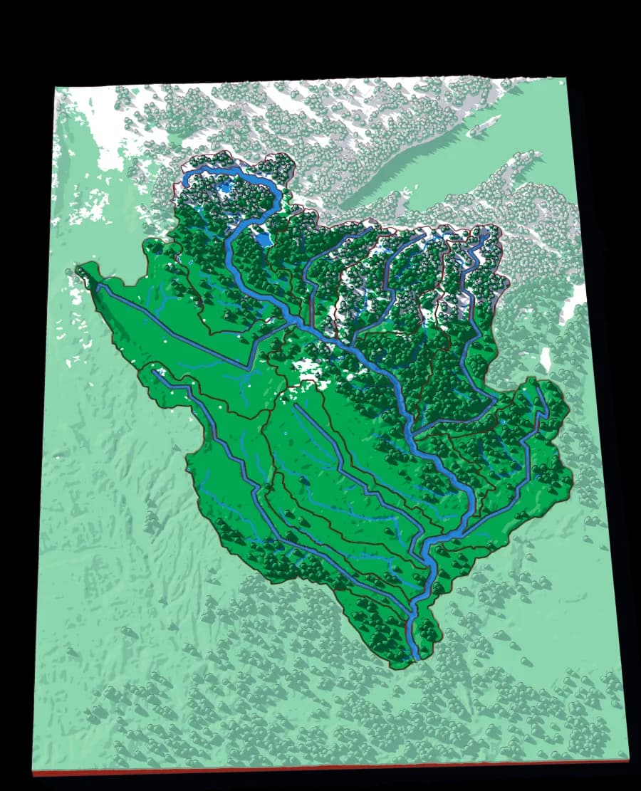
▶ Play it onlineThe Sogamoso is two rivers joined. The Chicamocha starts on the high plateau near Tunja and carves the deep Chicamocha canyon on its way north; the Suárez comes up from the south to meet it. Together they break through the eastern range of the Andes and drop into the Magdalena valley. On this plate the Chicamocha is the carved channel and the Suárez is the single biggest piece, because the descent is about to follow it.
What a child works out
- A river can have two sources that are both 'the' river.
- Canyons are where a river has cut down faster than the land rose.
- The biggest tributary is not always the one that keeps the name.
A download, to print yourself
- A .3mf file with the colours already assigned
- One STL per piece, for any other slicer
- A print guide with the settings and the order to print in
- For your own use; the licence is in the download
What you need to print it
- A build plate that takes 176 × 250 mm: the Bambu Lab A1, P1S and X1C (256 mm) do, the A1 mini (180 mm) does not
- A multicolour setup such as an AMS, for the colours as designed
Printed it? Got an idea?
Send me photos of your print and I'll add them to this page — or tell me what you'd add, leave out or change on The Sogamoso.
The plate
- Pieces
- 20 pieces
- Plate
- 176 × 250 mm
- Scale
- 1 mm ≈ 1.3 km
- Vertical exaggeration
- × 1.01
- Thickness
- 8.8 mm
- Smallest piece
- 103 mm²
- Fit
- 0.35 mm clearance
- Material
- PLA, printed in Switzerland
7 named; the rest are sub-basins the source data leaves unnamed.
B5 — the size of a school exercise book.
How much ground one millimetre of plate covers.
Height is stretched by this factor so the relief is readable at desk size.
Nothing is cut smaller than a child can pick up.
Printed in place, so every piece seats first time without sanding.
Every named piece
- Guaca
- Nevado
- Onzaga
- Pesca
- Servitá
- Soapaga
- Suárez
Zoom in, zoom out
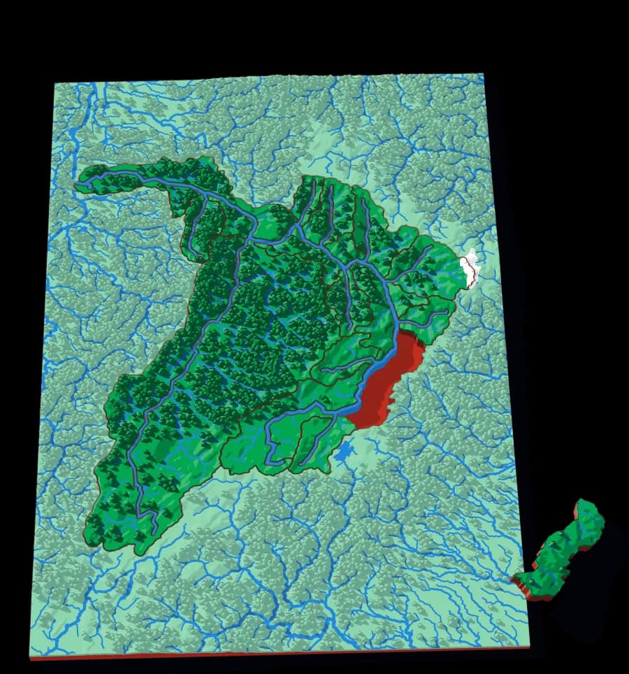
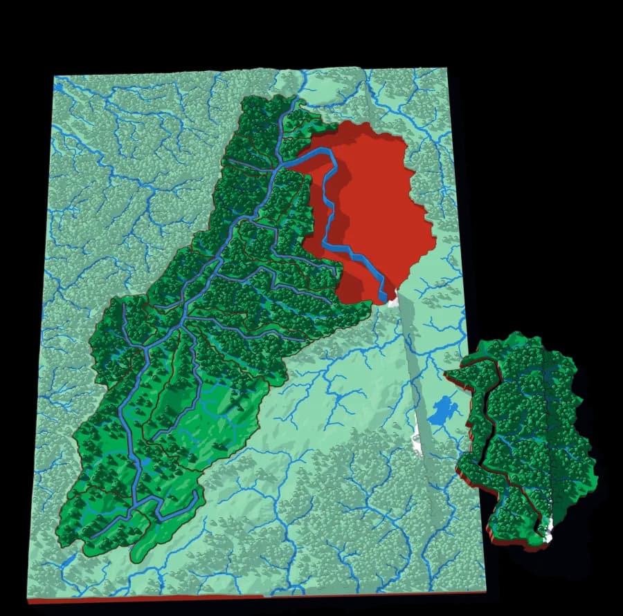
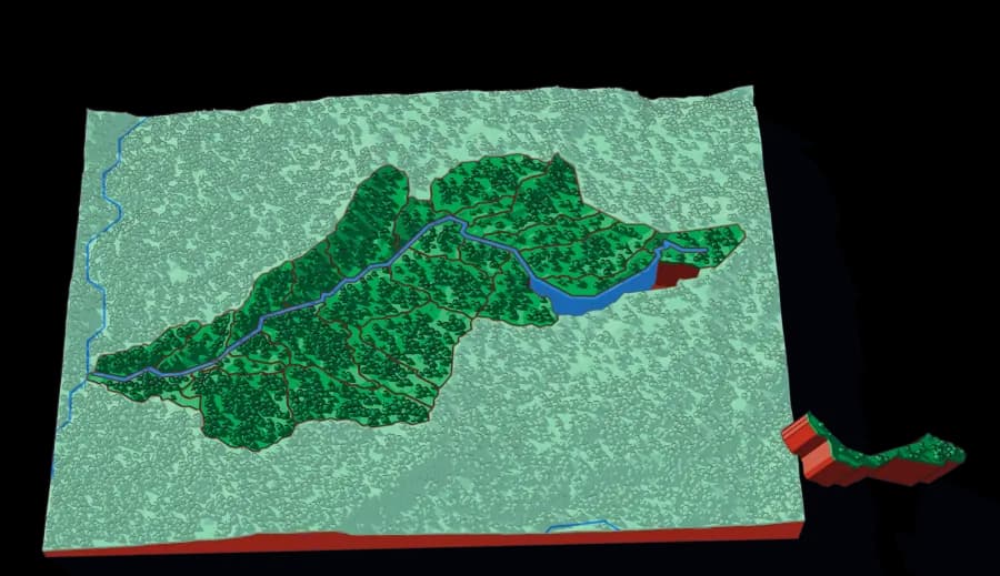
A piece of each of these is the subject of the next one. Each plate is redrawn at its own scale, so it is a real map at every level rather than an enlargement of the one above.
Follow the water — The world to the creek below Barichara, cut by ridge lines
More from Watersheds
See all →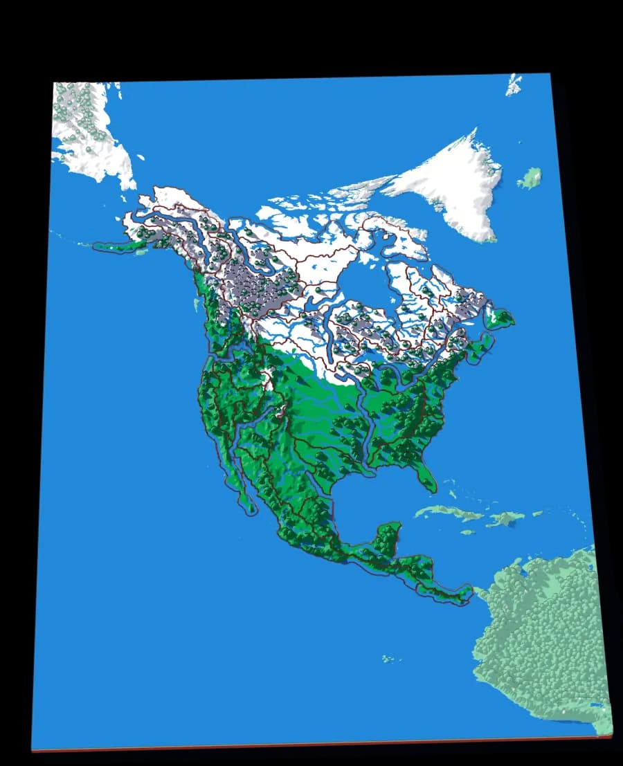
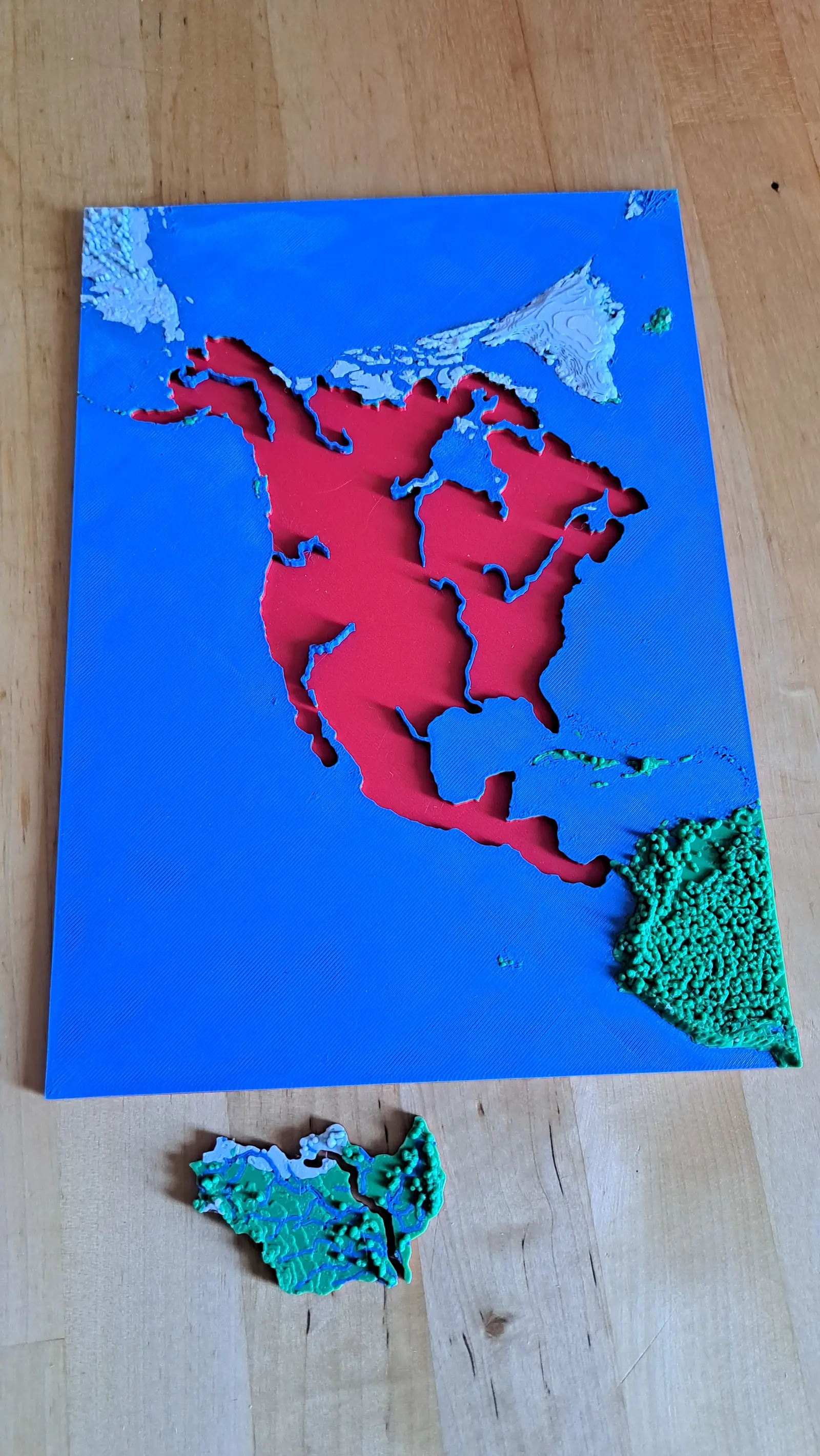
North America by River
A continent divided only by where water goes
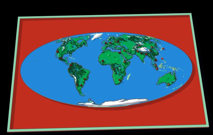
No countries, no states. Twenty-nine pieces, each one the whole territory that drains into a single river.
- Pieces
- 29 pieces
- Scale
- 1 mm ≈ 49.4 km
- Suitable for
- Ages 8 and up
- Price
- CHF 15.00
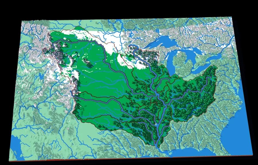
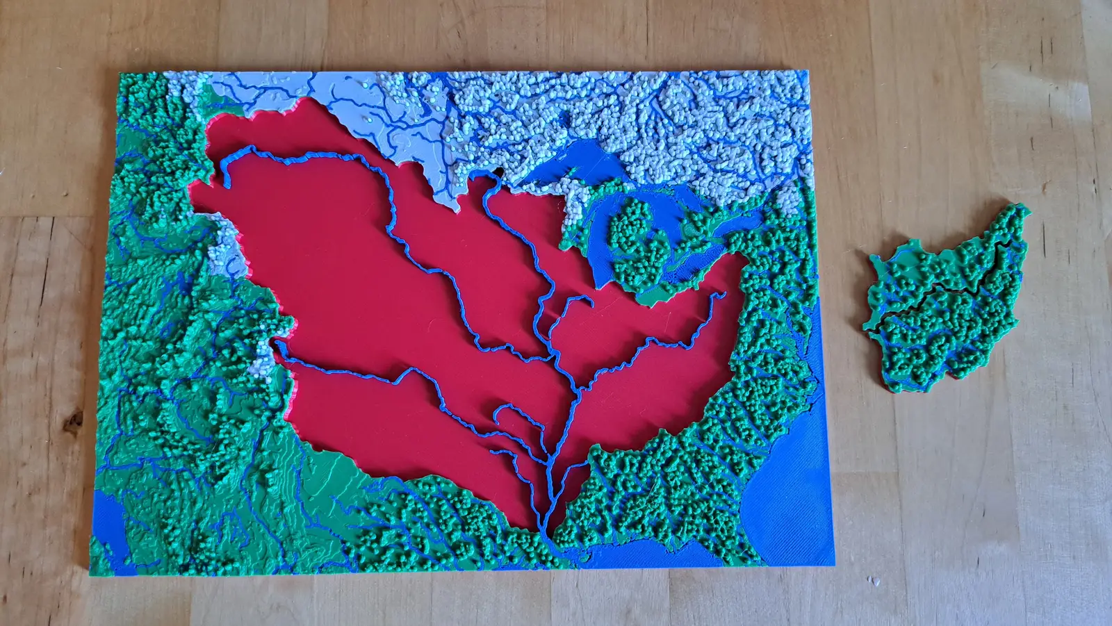
The Mississippi
The basin that drains a third of a continent
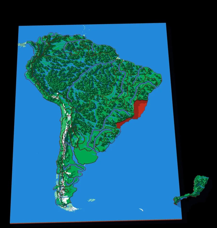
Fifteen pieces — Missouri, Ohio, Arkansas, Red, Illinois — that together are about three million square kilometres of drainage.
- Pieces
- 13 pieces
- Scale
- 1 mm ≈ 14.5 km
- Suitable for
- Ages 8 and up
- Price
- CHF 15.00
The Upper Mississippi
The river before the Missouri joins it
Twenty-one pieces — the Minnesota, the St Croix, the Wisconsin, the Des Moines, the Cedar — draining the northern half of the Mississippi.
- Pieces
- 16 pieces
- Scale
- 1 mm ≈ 4.7 km
- Suitable for
- Ages 8 and up
- Price
- CHF 15.00