Germany
Sixteen states, three of them cities
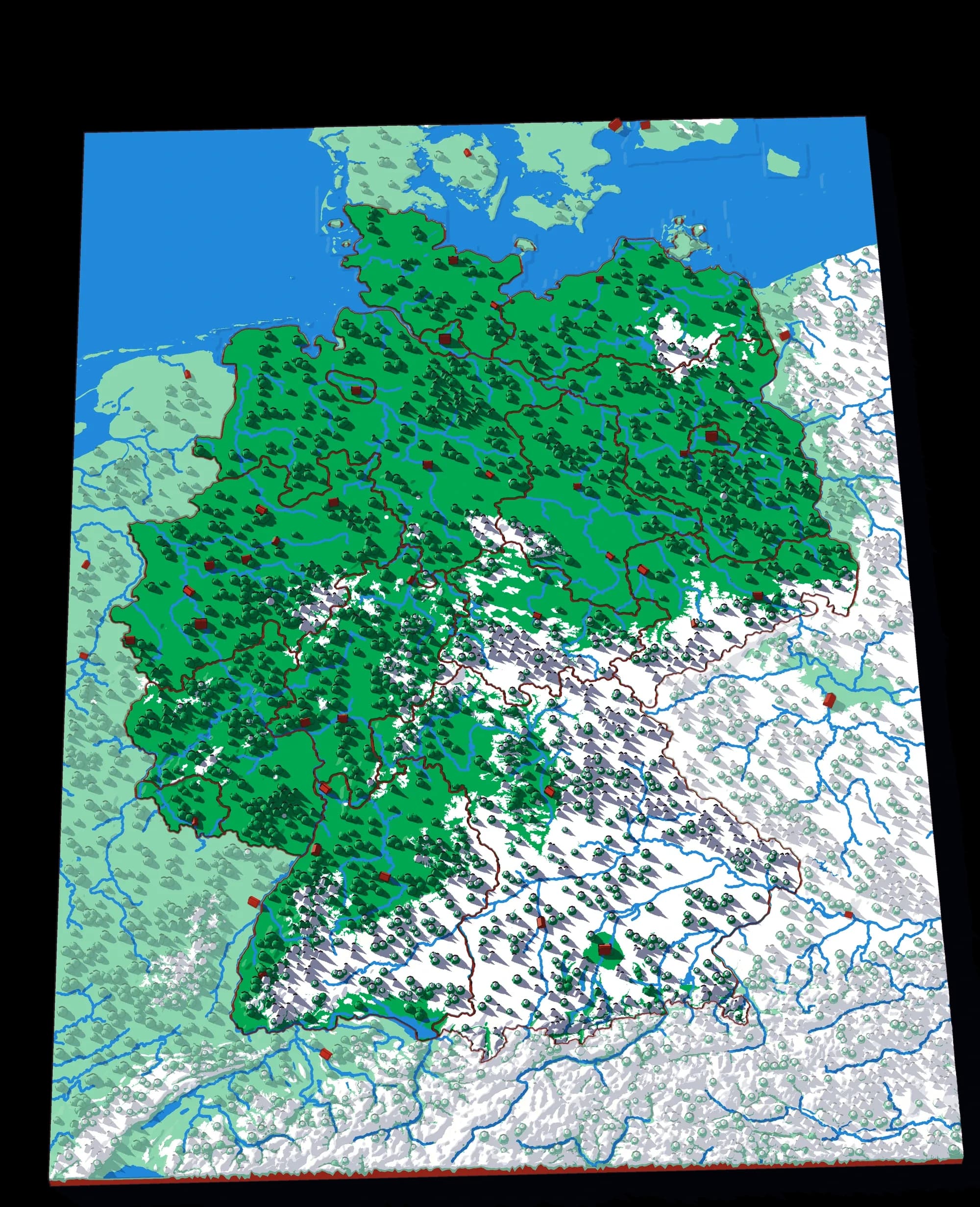
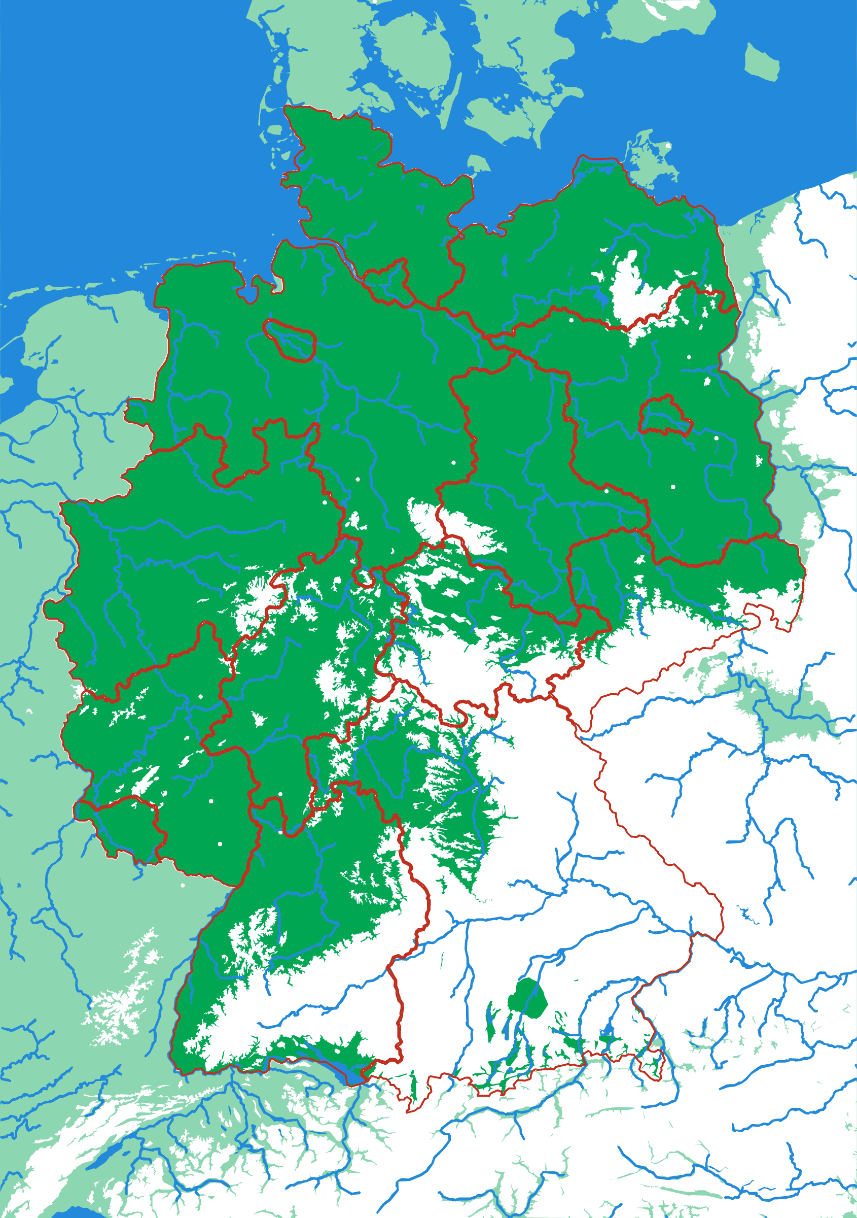
Germany tilts: the north is one long, flat plain running down to the North Sea and the Baltic, and the land rises to the south through hills and forests to the Alps along Bavaria's border. The sixteen states are cut exactly as they are on the map, and three of them are cities. Berlin, Hamburg and Bremen are so small at this scale that they are enlarged just enough to lift out, so they read as small islands inside their neighbours.
What a child works out
- Germany is flat in the north and rises to the Alps in the south.
- Three of Germany's states are cities.
- Bavaria is the biggest piece; Bremen, a city, is the smallest.
A download, to print yourself
- A .3mf file with the colours already assigned
- One STL per piece, for any other slicer
- A print guide with the settings and the order to print in
- For your own use; the licence is in the download
What you need to print it
- A build plate that takes 176 × 250 mm: the Bambu Lab A1, P1S and X1C (256 mm) do, the A1 mini (180 mm) does not
- A multicolour setup such as an AMS, for the colours as designed
What would make you want this one?
Another area, other pieces, bigger or smaller, more detail or less: tell me what would make Germany the one you print.
The plate
- Pieces
- 16 pieces
- Plate
- 176 × 250 mm
- Scale
- 1 mm ≈ 4.1 km
- Vertical exaggeration
- × 3.75
- Thickness
- 8.8 mm
- Smallest piece
- 50 mm²
- Fit
- 0.35 mm clearance
- Material
- PLA, printed in Switzerland
B5 — the size of a school exercise book.
How much ground one millimetre of plate covers.
Height is stretched by this factor so the relief is readable at desk size.
Nothing is cut smaller than a child can pick up.
Printed in place, so every piece seats first time without sanding.
Put it back together in your browser →
Every named piece
- Baden-Württemberg
- Bavaria
- Berlin
- Brandenburg
- Bremen
- Hamburg
- Hesse
- Lower Saxony
- Mecklenburg-Vorpommern
- North Rhine-Westphalia
- Rhineland-Palatinate
- Saarland
- Saxony
- Saxony-Anhalt
- Schleswig-Holstein
- Thuringia
More from Countries & States
See all →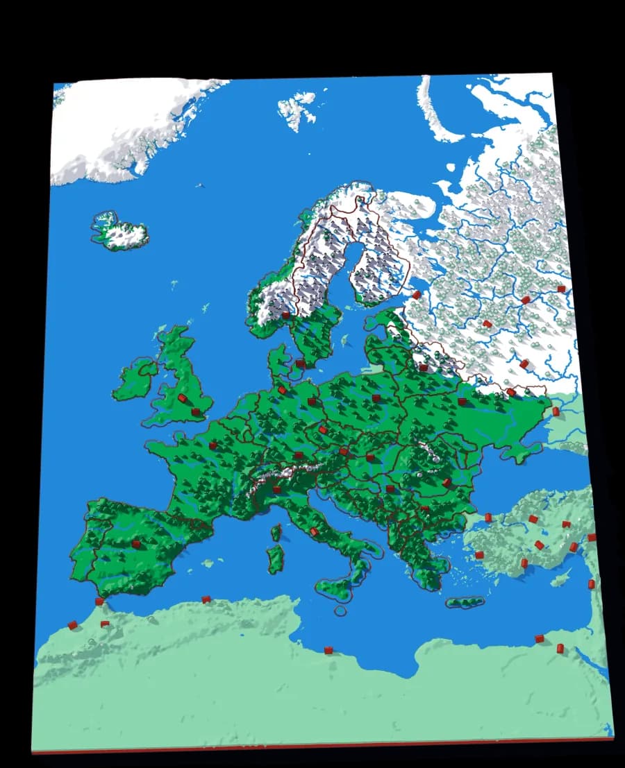
Europe
Forty-five countries at real elevation
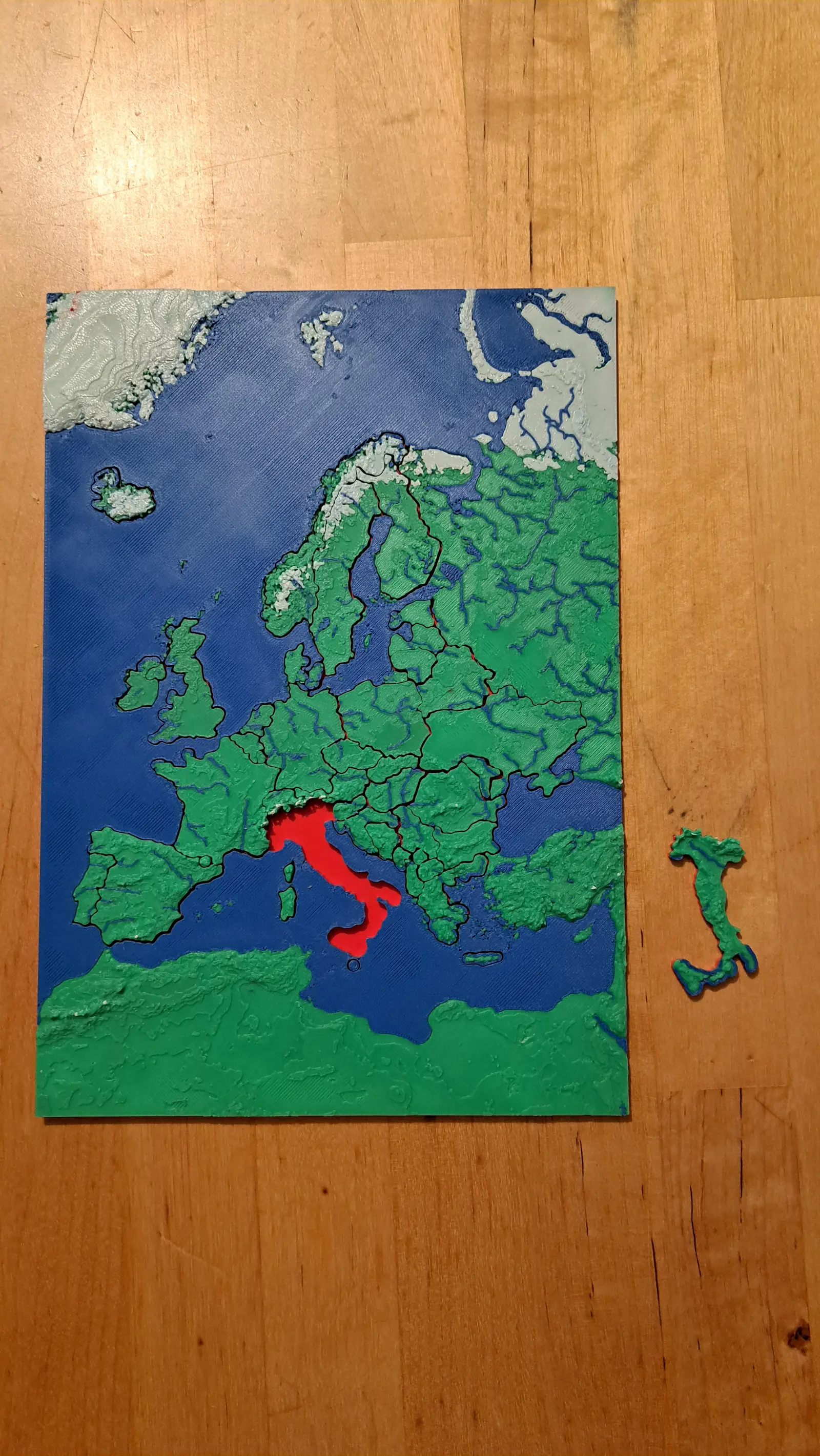
The political map, printed on the terrain it was drawn over. Forty-five pieces, from Andorra to Russia's western edge.
- Pieces
- 29 pieces
- Scale
- 1 mm ≈ 24.7 km
- Suitable for
- Ages 6 and up
- Price
- CHF 15
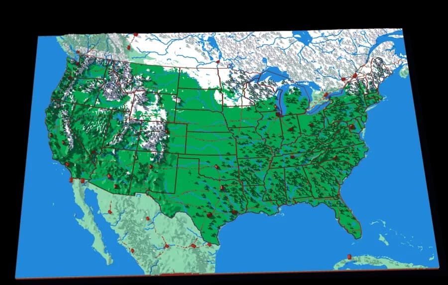
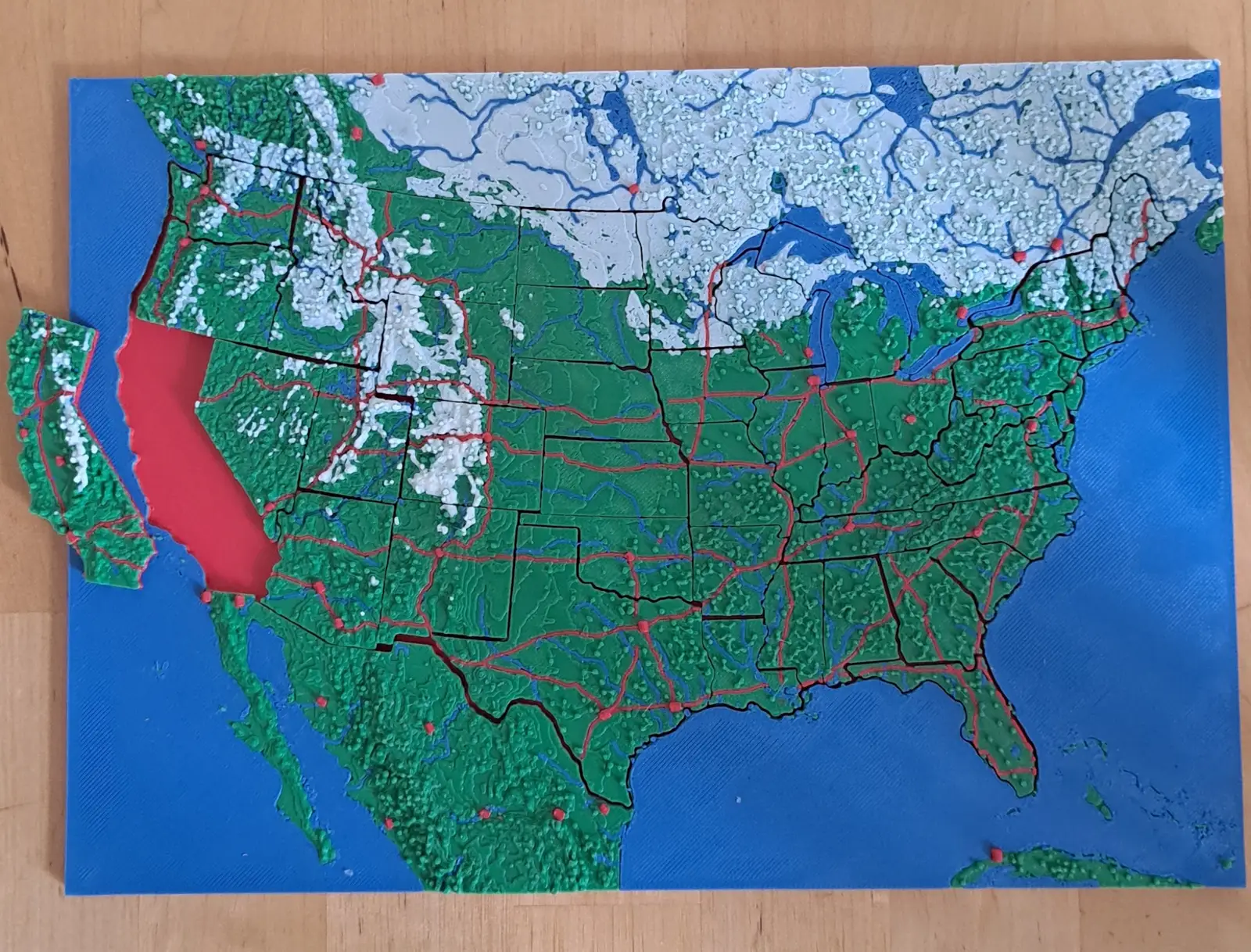
The United States
The lower forty-eight, every one of them a piece
Forty-eight pieces, one per state. The straight western borders and the crooked eastern ones, over the ground that explains both.
- Pieces
- 48 pieces
- Scale
- 1 mm ≈ 20.1 km
- Suitable for
- Ages 6 and up
- Price
- CHF 15
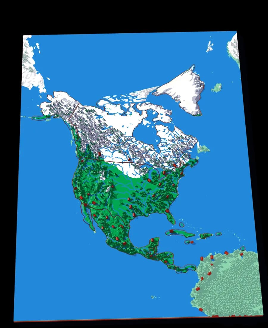
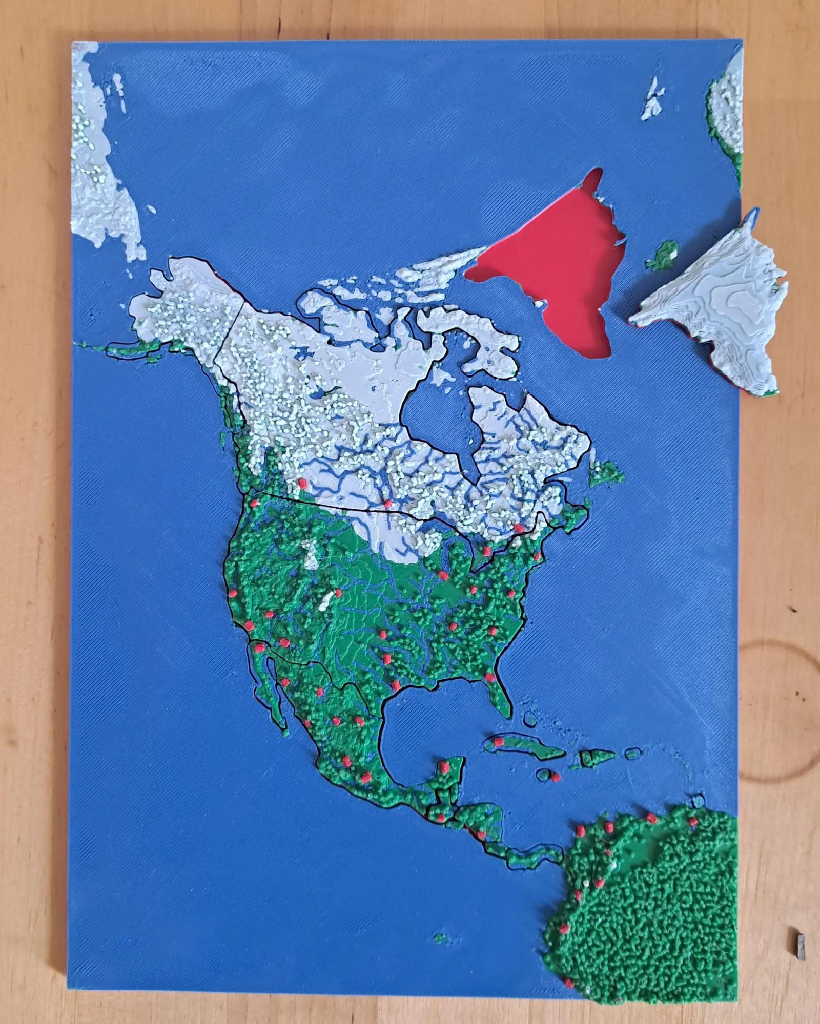
North America
Nineteen countries, Panama to the Arctic
The continent as countries — including the Caribbean islands that are usually too small to cut.
- Pieces
- 6 pieces
- Scale
- 1 mm ≈ 49.3 km
- Suitable for
- Ages 6 and up
- Price
- CHF 15