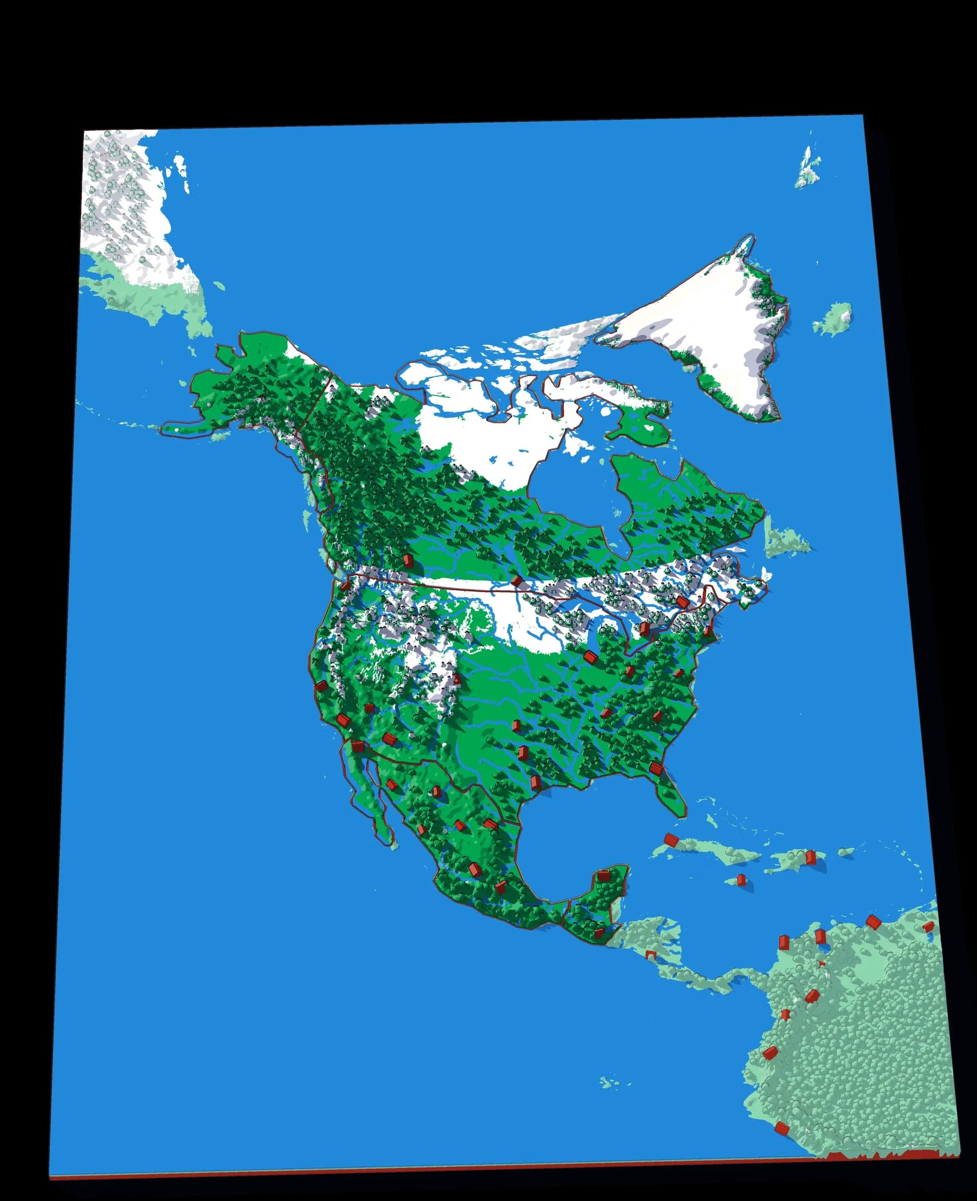
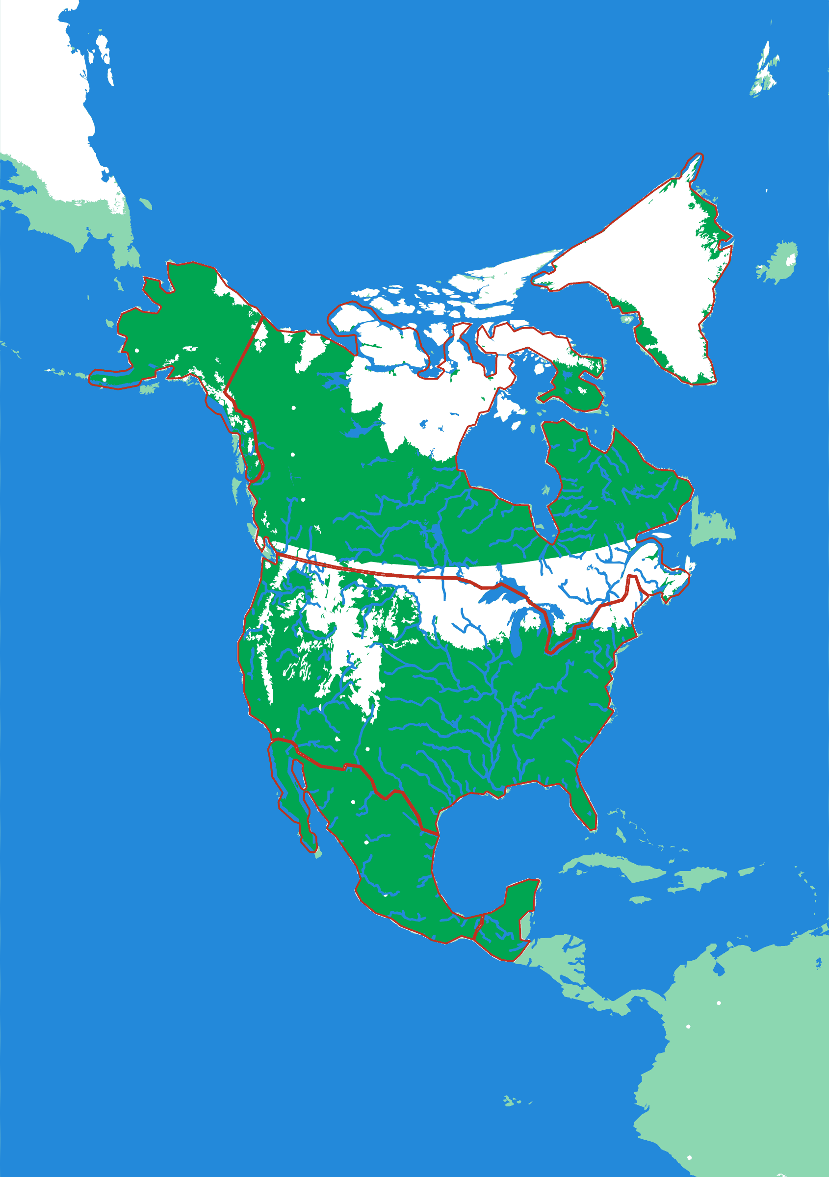
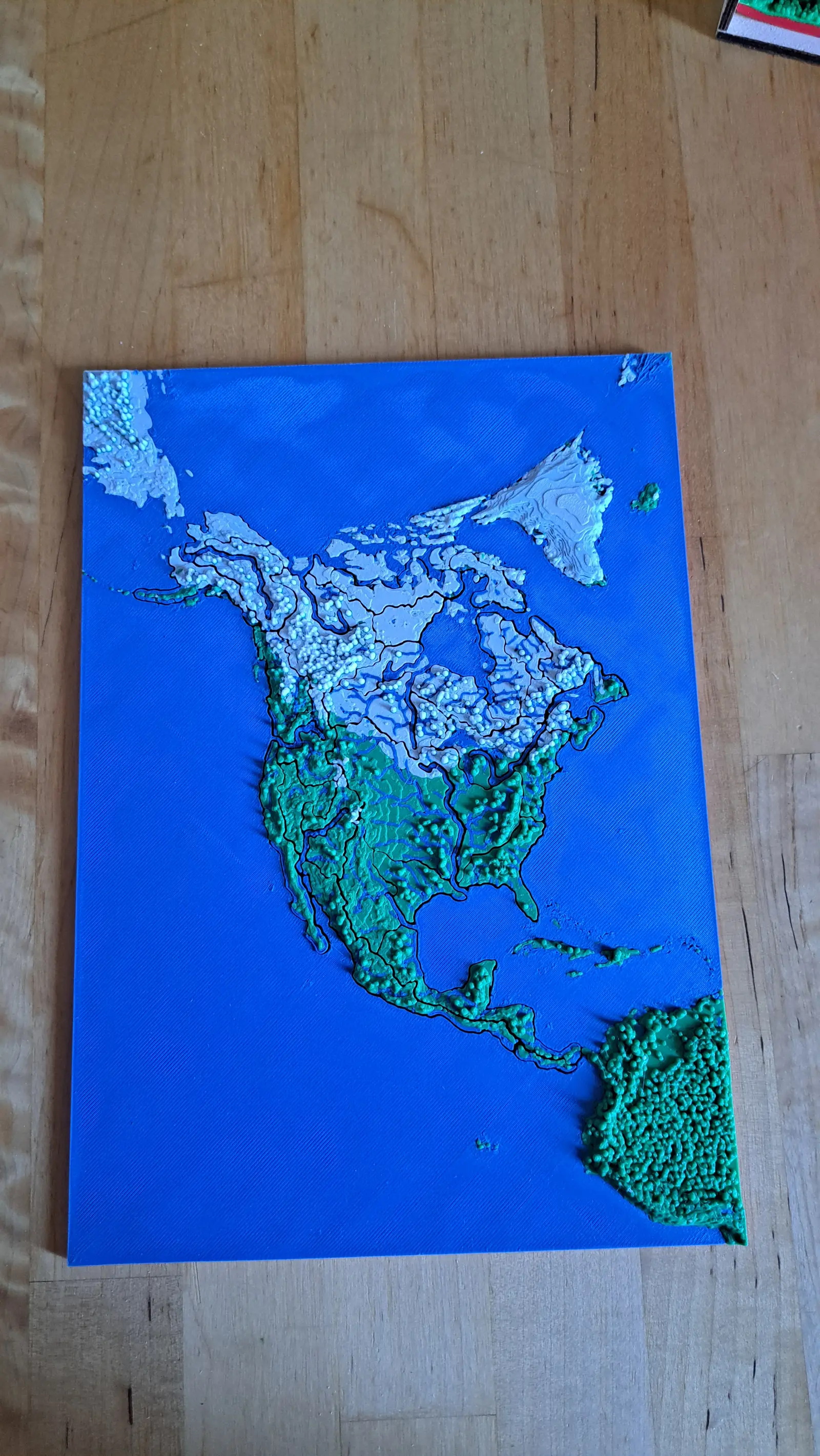
The printed plate
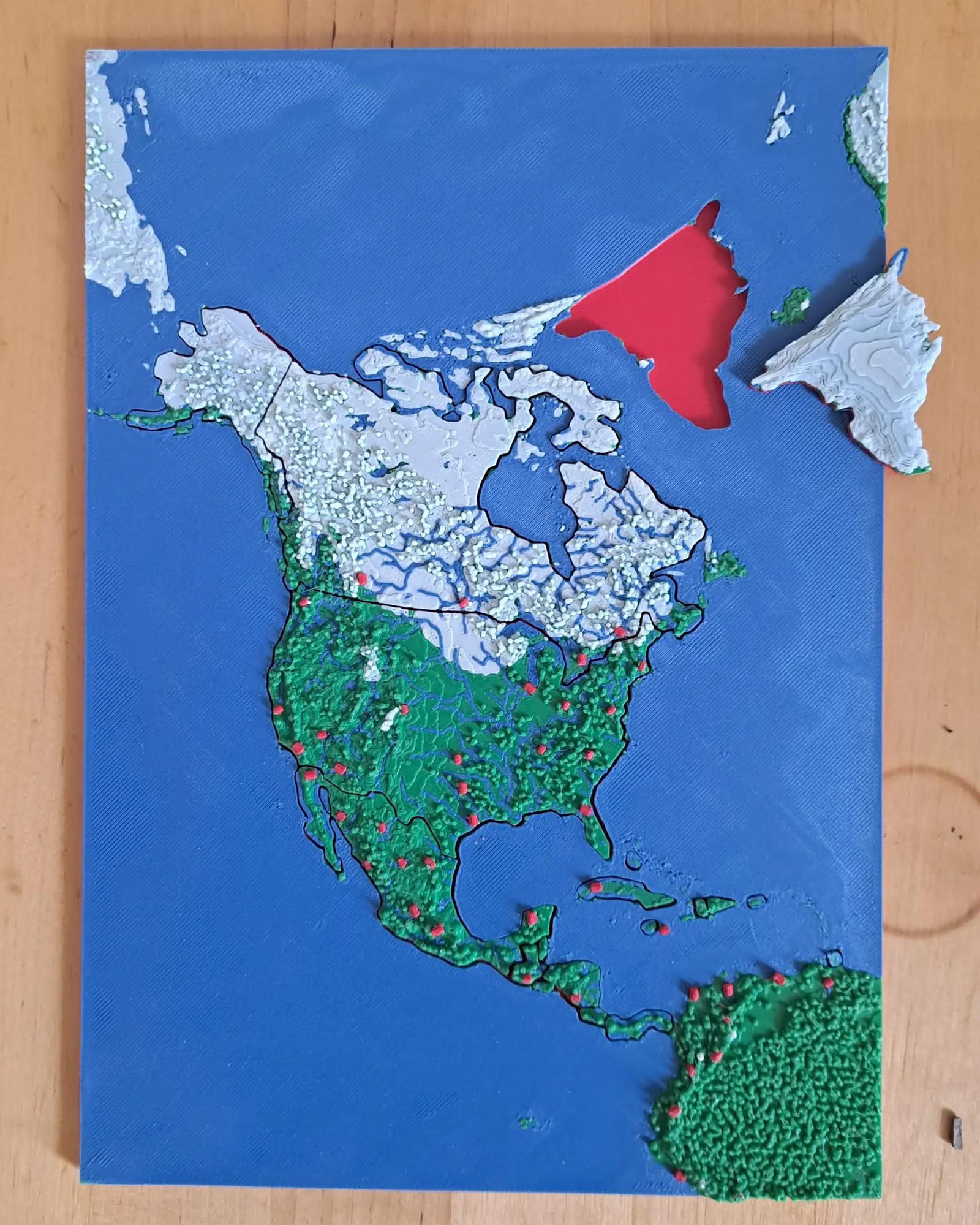
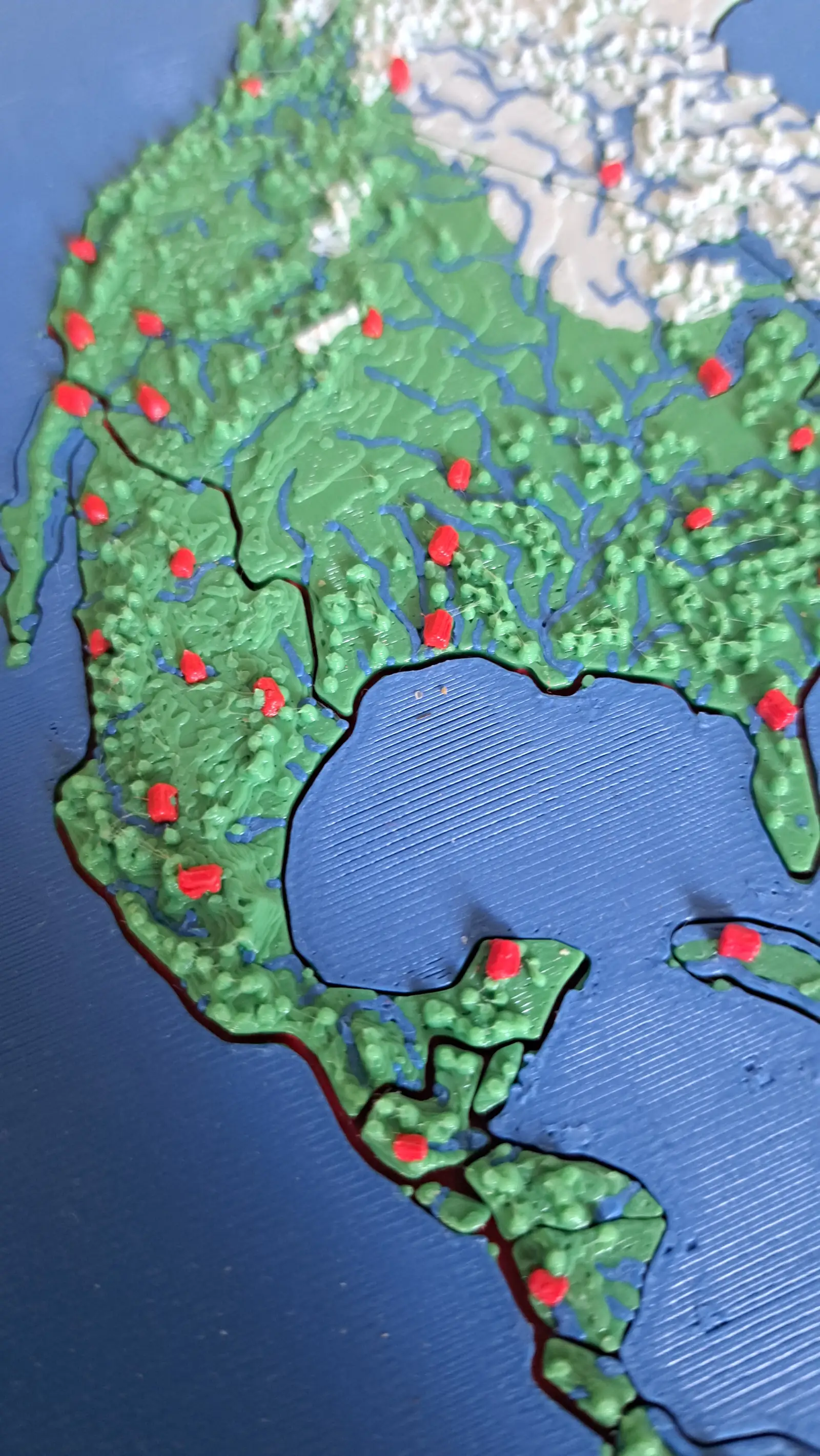
Greenland lifted out, showing the recess it sits in.
North America
Nineteen countries, Panama to the Arctic
▶ Play it onlineGetting Caribbean nations onto a puzzle at continental scale is a real constraint: at this size Trinidad and Tobago is a few square millimetres, and a piece that small will not survive being picked up by a five-year-old. The pipeline enforces a minimum piece size against the true land area rather than the simplified outline, so the small island states are present and honestly proportioned rather than quietly dropped.
What a child works out
- North America goes much further south than most people expect.
- Small countries are still countries, and the map should show them.
- Central America is a narrow mountain bridge, not a flat isthmus.
A download, to print yourself
- A .3mf file with the colours already assigned
- One STL per piece, for any other slicer
- A print guide with the settings and the order to print in
- For your own use; the licence is in the download
What you need to print it
- A build plate that takes 176 × 250 mm: the Bambu Lab A1, P1S and X1C (256 mm) do, the A1 mini (180 mm) does not
- A multicolour setup such as an AMS, for the colours as designed
Printed it? Got an idea?
Send me photos of your print and I'll add them to this page — or tell me what you'd add, leave out or change on North America.
The plate
- Pieces
- 6 pieces
- Plate
- 176 × 250 mm
- Scale
- 1 mm ≈ 49.3 km
- Vertical exaggeration
- × 30.6
- Thickness
- 8.8 mm
- Smallest piece
- 125 mm²
- Fit
- 0.35 mm clearance
- Material
- PLA, printed in Switzerland
B5 — the size of a school exercise book.
How much ground one millimetre of plate covers.
Height is stretched by this factor so the relief is readable at desk size.
Nothing is cut smaller than a child can pick up.
Printed in place, so every piece seats first time without sanding.
Every named piece
- Alaska
- Canada
- Greenland
- Guatemala
- Mexico
- United States
Zoom in, zoom out
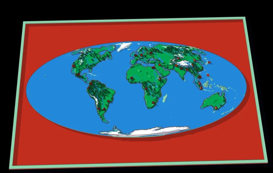
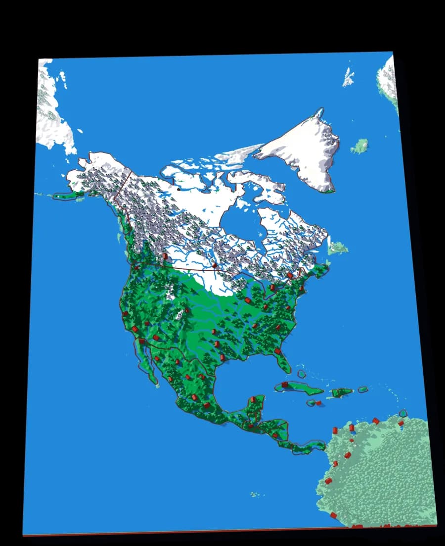
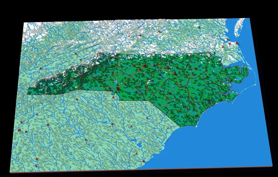
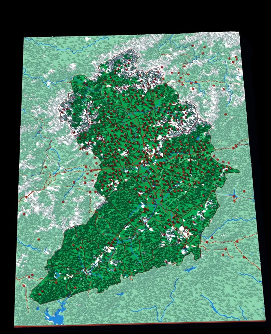
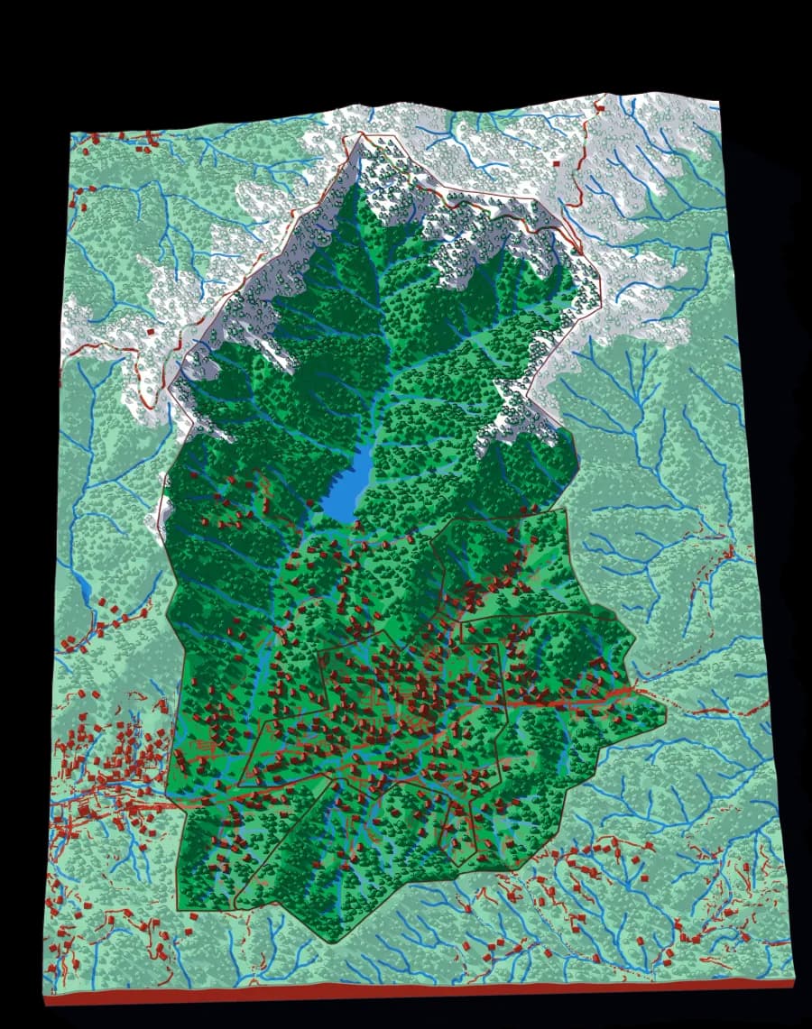
A piece of each of these is the subject of the next one. Each plate is redrawn at its own scale, so it is a real map at every level rather than an enlargement of the one above.
Follow the borders — World to continent to country to state to township
More from Countries & States
See all →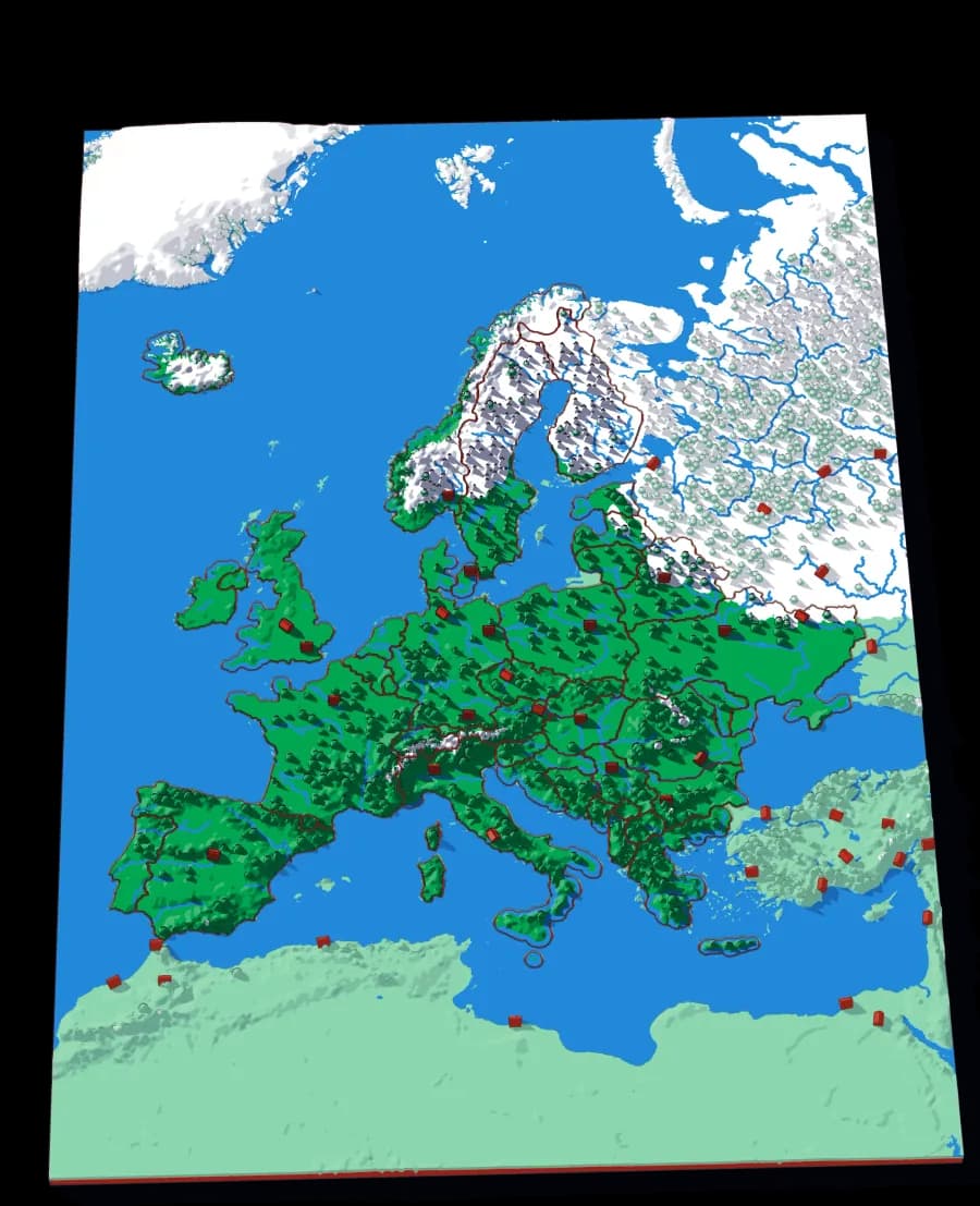
Europe
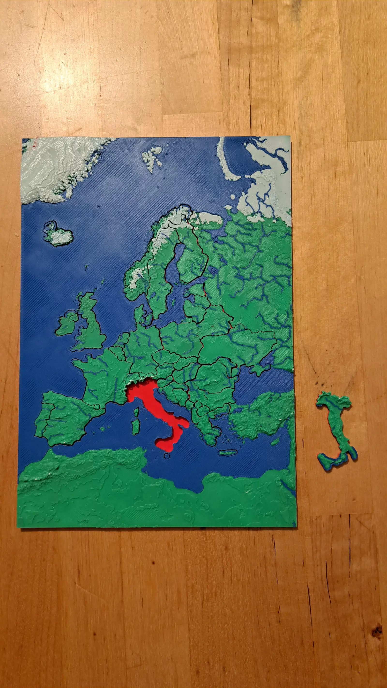
Forty-five countries at real elevation
The political map, printed on the terrain it was drawn over. Forty-five pieces, from Andorra to Russia's western edge.
- Pieces
- 29 pieces
- Scale
- 1 mm ≈ 24.7 km
- Suitable for
- Ages 6 and up
- Price
- CHF 15.00
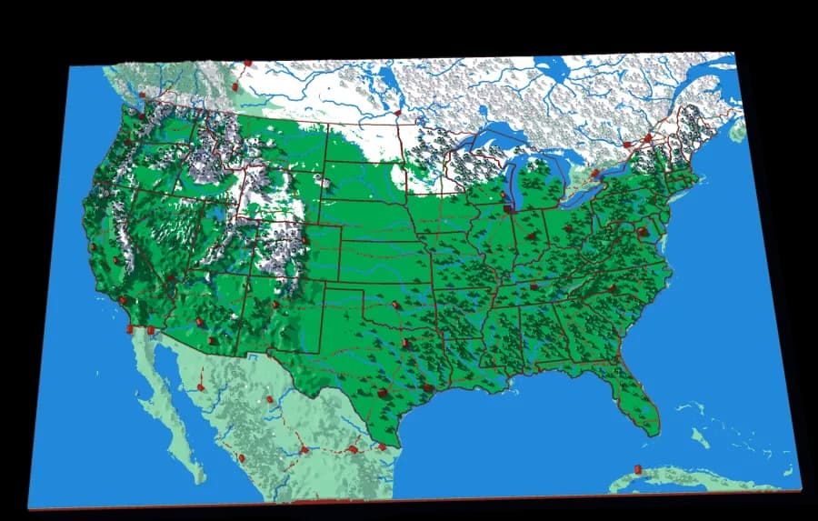
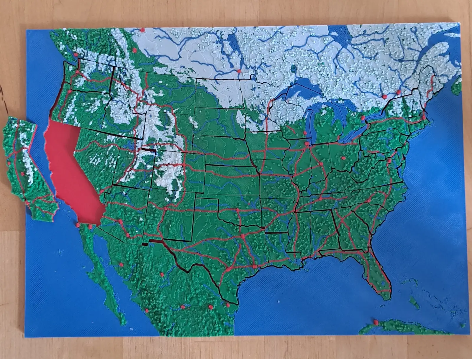
The United States
The lower forty-eight, and two pieces you would not expect
Fifty pieces. The straight western borders and the crooked eastern ones, over the ground that explains both.
- Pieces
- 46 pieces
- Scale
- 1 mm ≈ 20.1 km
- Suitable for
- Ages 6 and up
- Price
- CHF 15.00
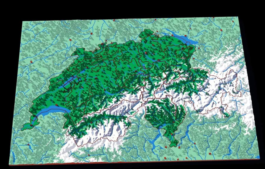
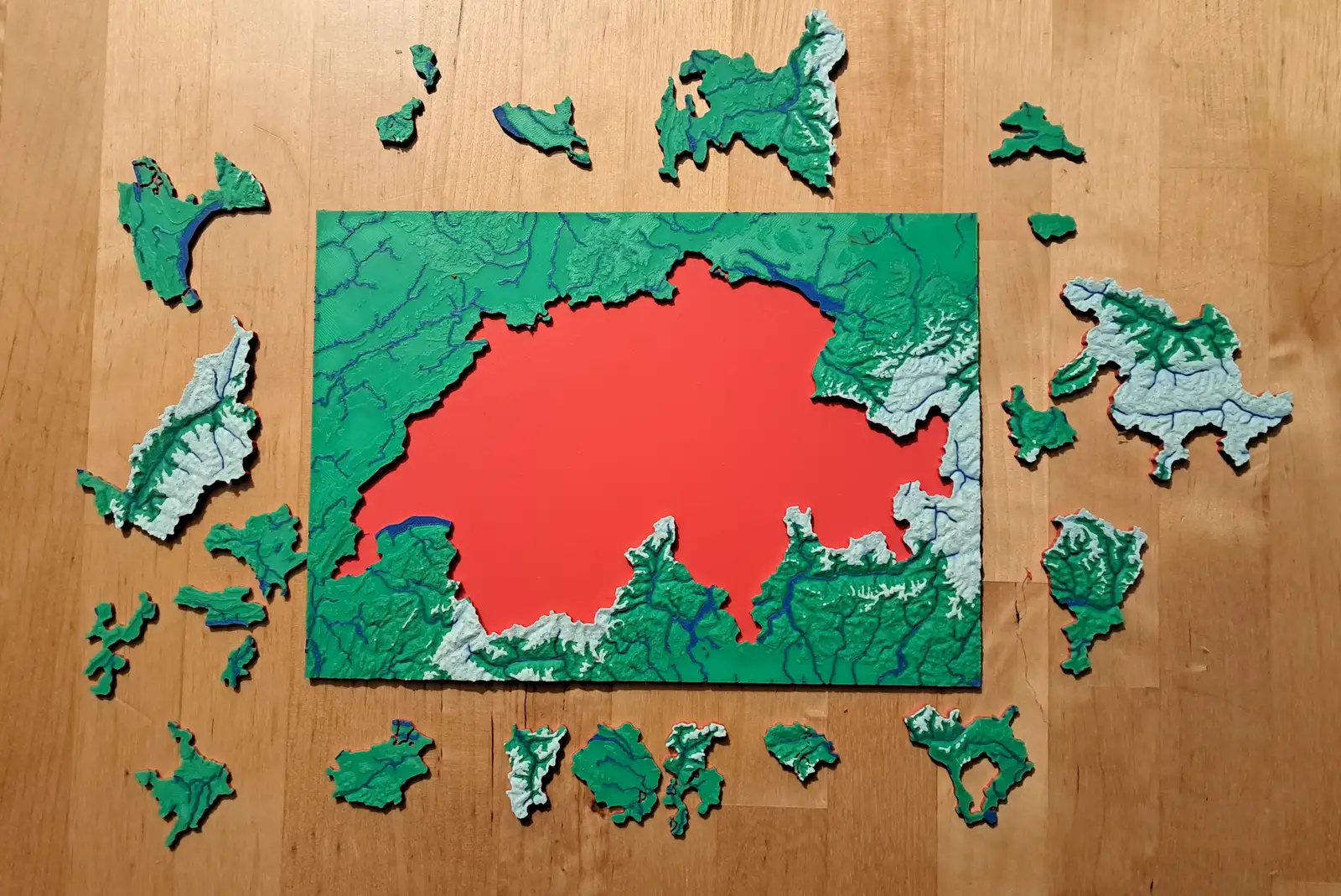
Switzerland
Twenty-three cantons over the Alps
The cantons, printed at 1 mm to 1.5 km, with the Alps in white and every major lake in blue.
- Pieces
- 23 pieces
- Scale
- 1 mm ≈ 1.5 km
- Suitable for
- Ages 6 and up
- Price
- CHF 15.00