Spain
Sixteen communities on a high plateau
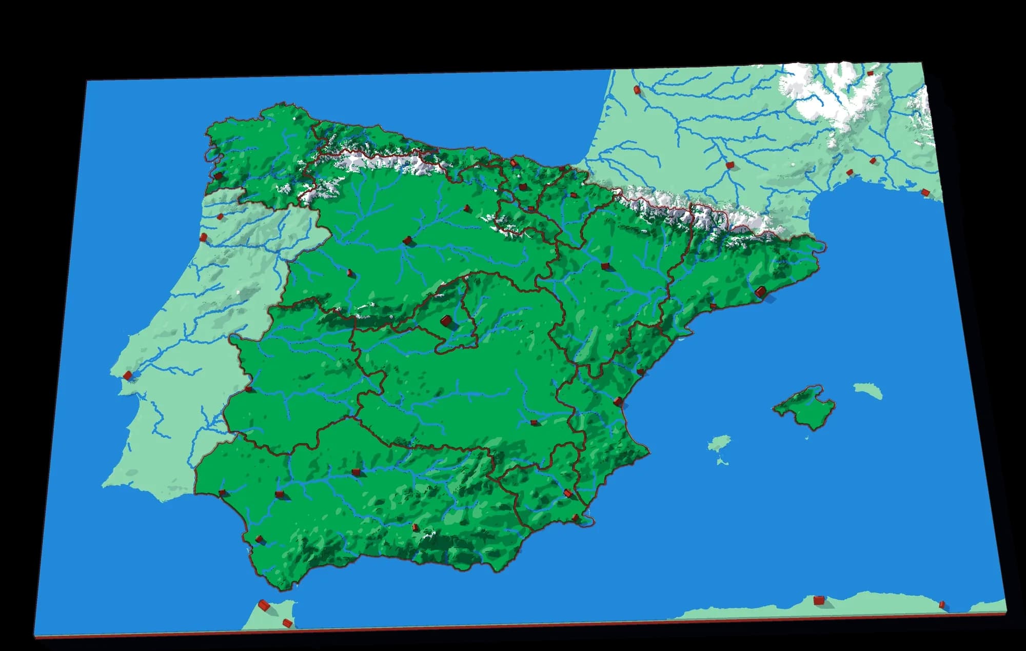
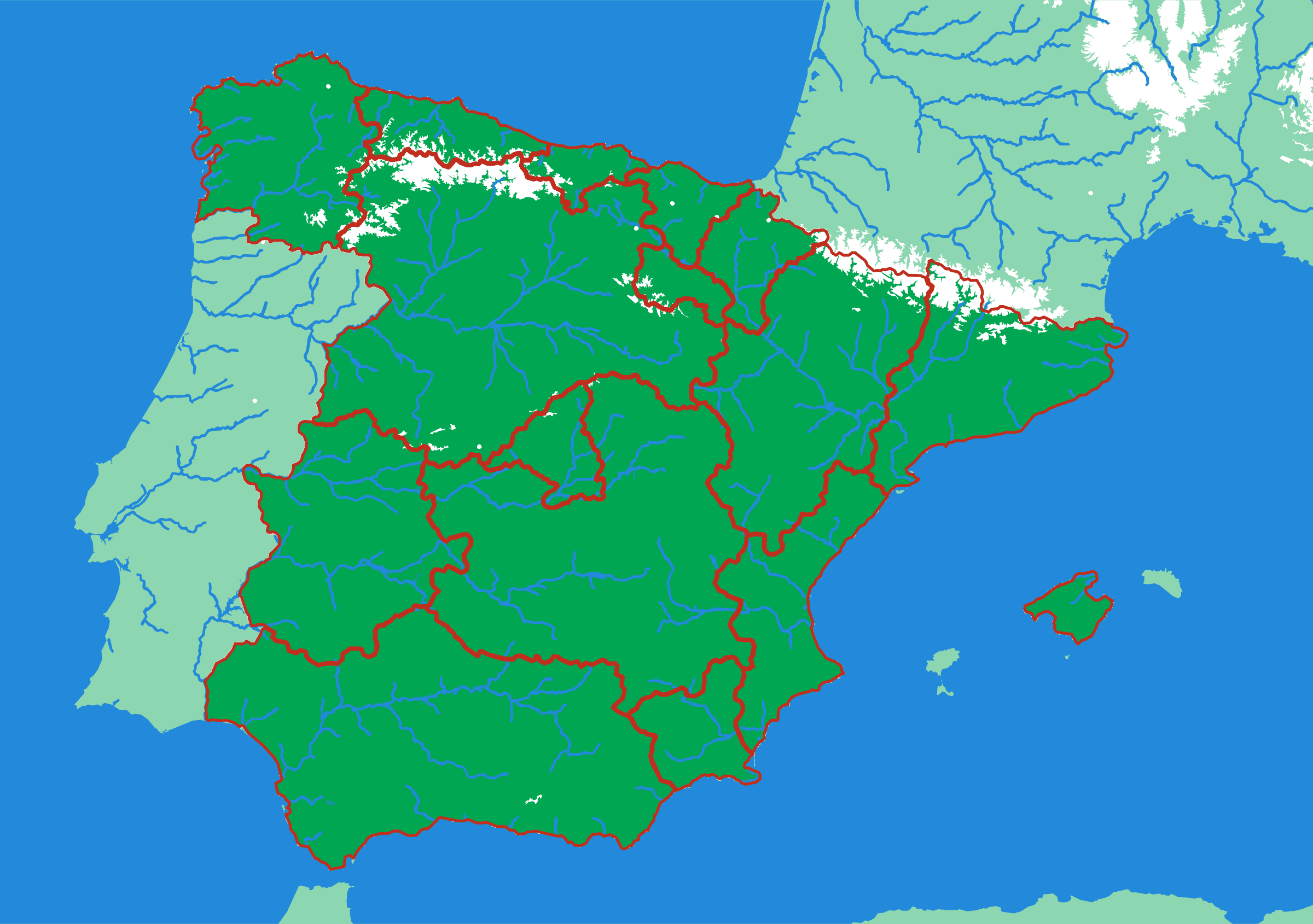
Most of Spain is a high, flat plateau, the Meseta, with mountains around its edges, and the plate shows it clearly: the two Castillas and Madrid sit on the high ground in the middle, and the coastal communities are the land that falls from it to the sea. The Pyrenees close the north-east, the Sierra Nevada rises above Andalucía, and the Balearics come off as their own piece. The Canary Islands are too far south-west to fit on the plate, so they are not on it.
What a child works out
- A country can be high and flat at the same time — the middle of Spain is a plateau.
- Coastal regions and inland ones are shaped by the drop to the sea.
- Some regions are small and some are huge, and the map shows why.
The plate
- Pieces
- 16 pieces
- Plate
- 250 × 176 mm
- Scale
- 1 mm ≈ 5.7 km
- Vertical exaggeration
- × 6.46
- Thickness
- 8.8 mm
- Smallest piece
- 109 mm²
- Fit
- 0.35 mm clearance
- Material
- PLA, printed in Switzerland
B5 — the size of a school exercise book.
How much ground one millimetre of plate covers.
Height is stretched by this factor so the relief is readable at desk size.
Nothing is cut smaller than a child can pick up.
Printed in place, so every piece seats first time without sanding.
Every named piece
- Andalucía
- Aragón
- Asturias
- Baleares
- Cantabria
- Castilla La Mancha
- Castilla y León
- Cataluña
- Extremadura
- Galicia
- La Rioja
- Madrid
- Murcia
- Navarra
- País Vasco
- Valencia
More from Countries & States
See all →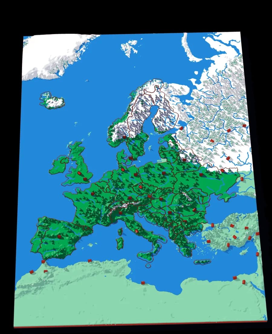
Europe
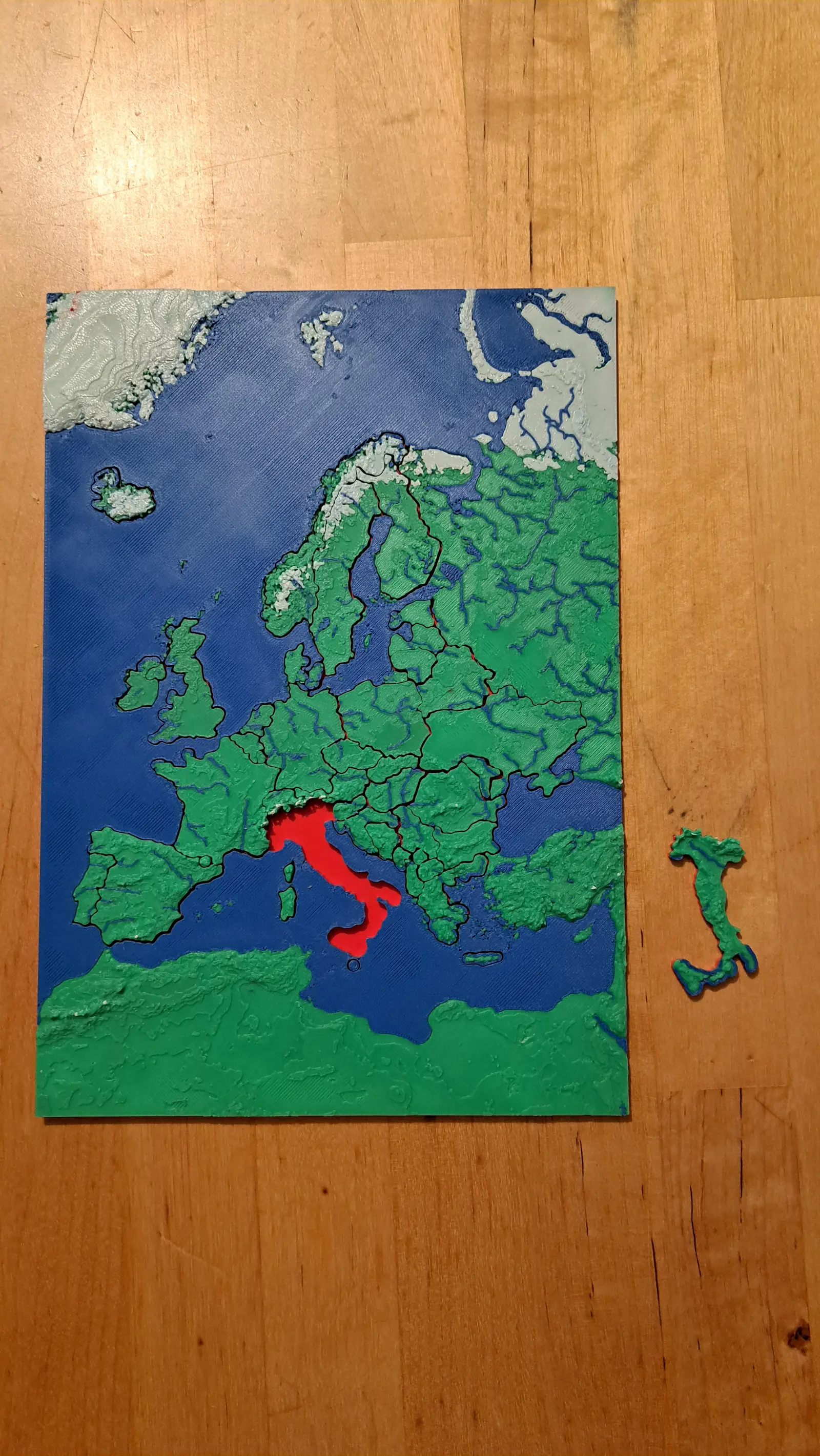
Forty-five countries at real elevation
The political map, printed on the terrain it was drawn over. Forty-five pieces, from Andorra to Russia's western edge.
- Pieces
- 45 pieces
- Scale
- 1 mm ≈ 24.7 km
- Suitable for
- Ages 6 and up
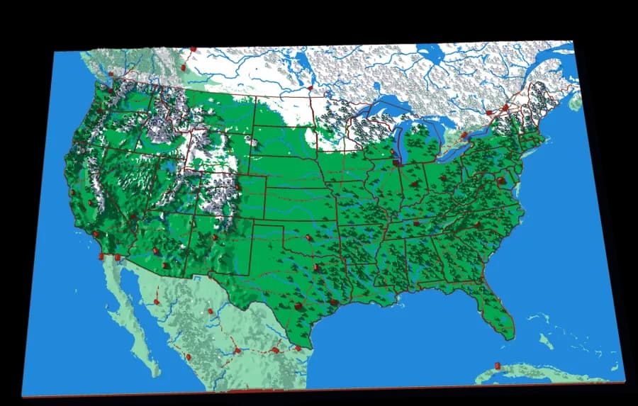
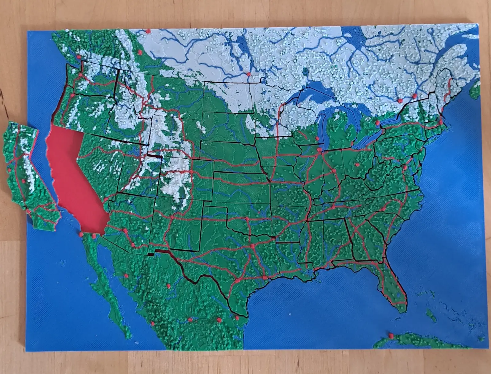
The United States
The lower forty-eight, and two pieces you would not expect
Fifty pieces. The straight western borders and the crooked eastern ones, over the ground that explains both.
- Pieces
- 50 pieces
- Scale
- 1 mm ≈ 20.1 km
- Suitable for
- Ages 6 and up
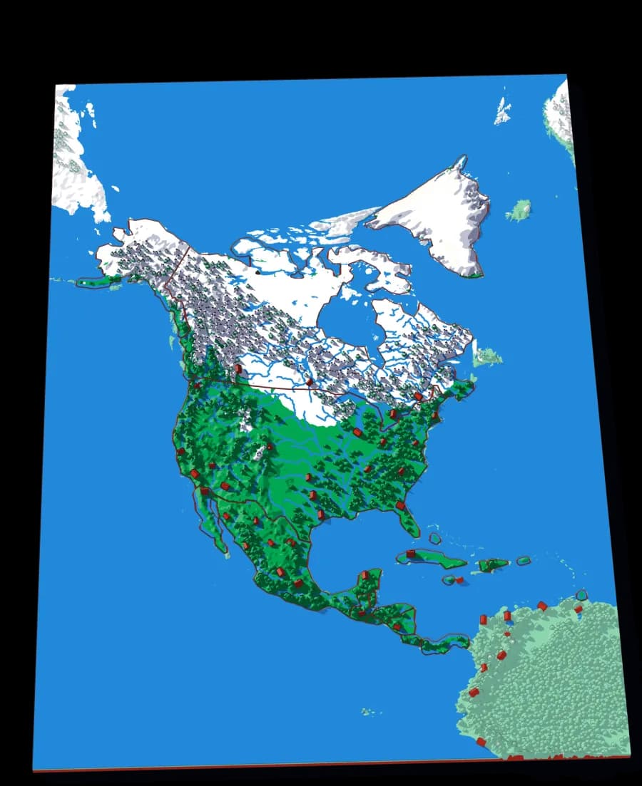
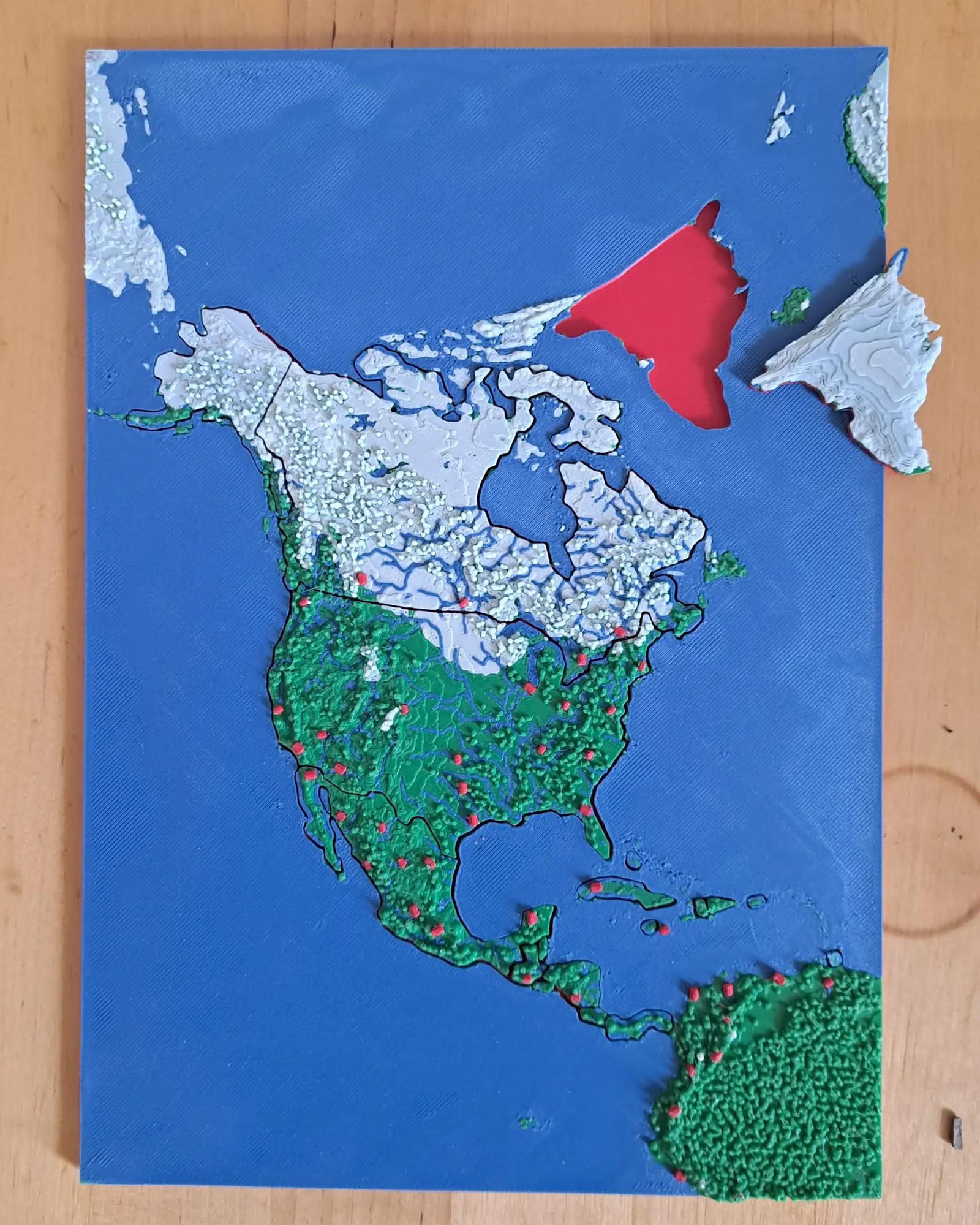
North America
Nineteen countries, Panama to the Arctic
The continent as countries — including the Caribbean islands that are usually too small to cut.
- Pieces
- 19 pieces
- Scale
- 1 mm ≈ 49.3 km
- Suitable for
- Ages 6 and up