Series
A puzzle whose piece is the next puzzle
Most map sets are a list of places. A series is a descent: you lift a piece out of one plate, and that piece is the subject of the plate below it. A handful of levels take you from a continent to ground you could walk across in an afternoon — and the scale on the plate tells you, honestly, how far you came.
There are two rules so far, and they are opposites. One follows water and does not draw a single border. The other follows borders and does not care where the water goes. Run both over the same ground and children notice the disagreement on their own, which is the entire lesson — so each place below has one of each.
Black Mountain
Ending in one Appalachian valley in western North Carolina.
Follow the water
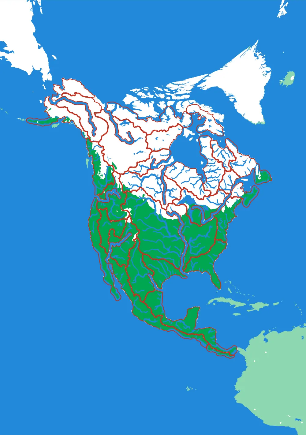
A continent to one creek, cut by ridge lines with no borders
- Level 1North America by River29 pieces1 mm ≈ 49.4 km
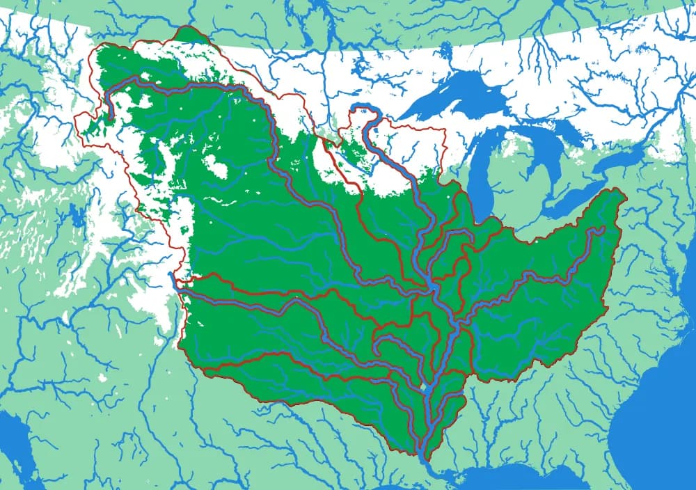
- Level 2The Mississippi15 pieces1 mm ≈ 14.5 km
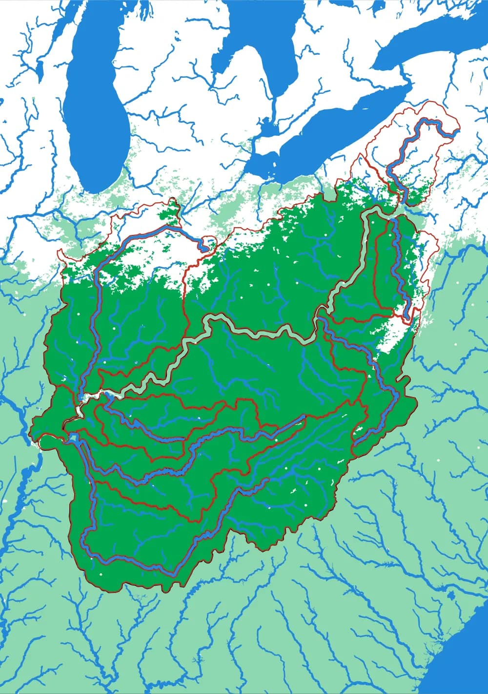
- Level 3The Ohio18 pieces1 mm ≈ 5.8 km
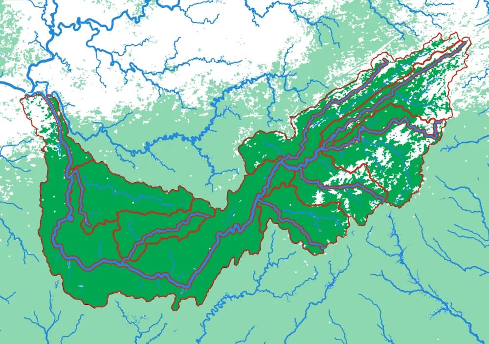
- Level 4The Tennessee17 pieces1 mm ≈ 2.8 km
- Level 5The French Broad17 pieces1 mm ≈ 976 m
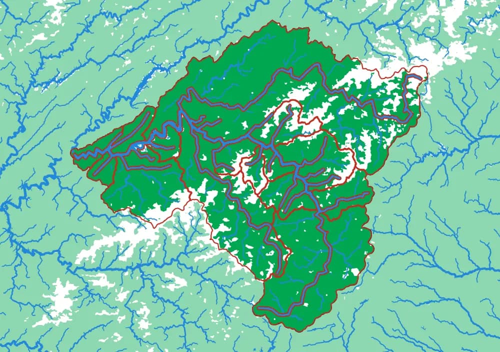
- Level 6The Swannanoa15 pieces1 mm ≈ 163 m
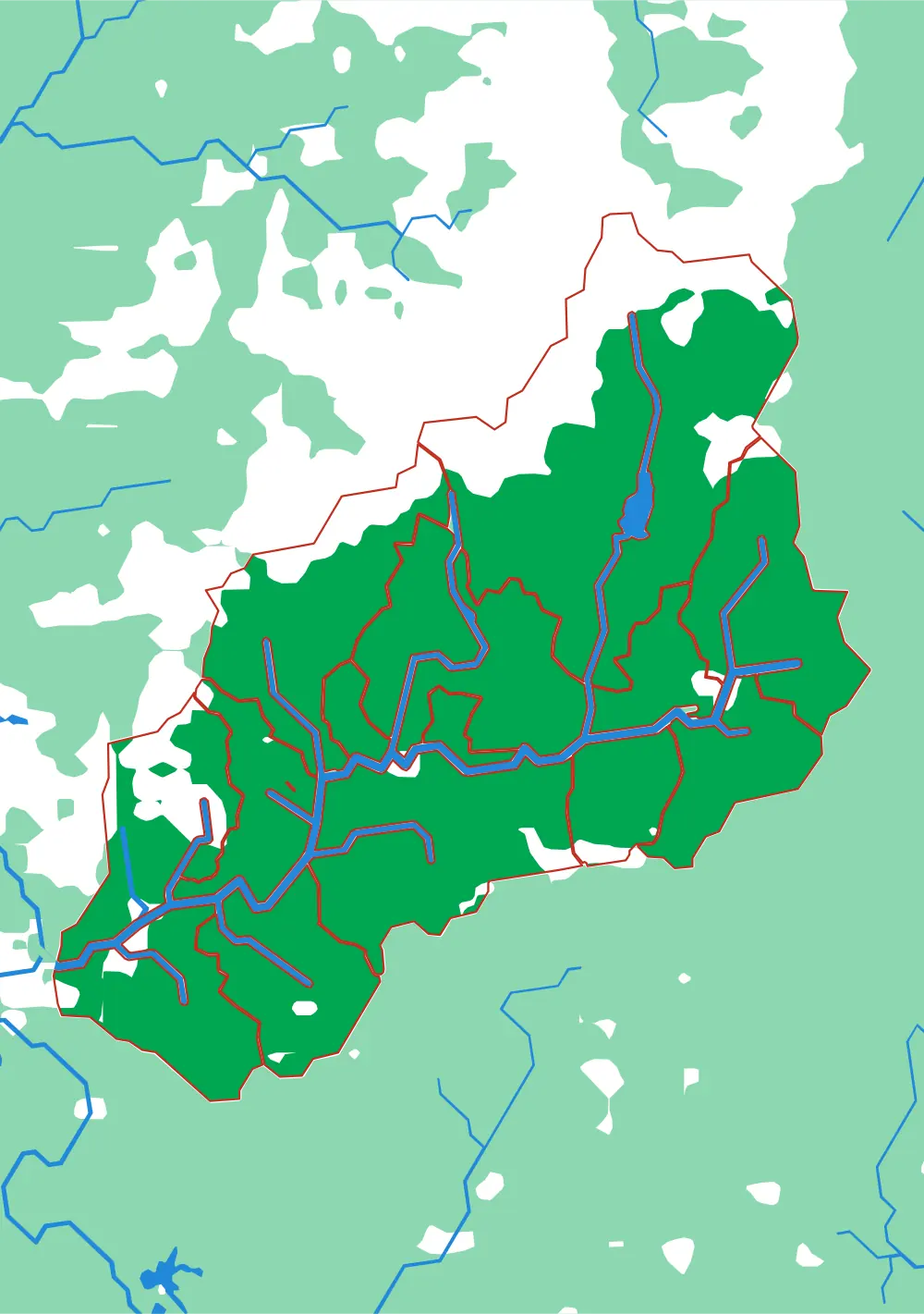
Follow the borders
World to continent to country to state to township
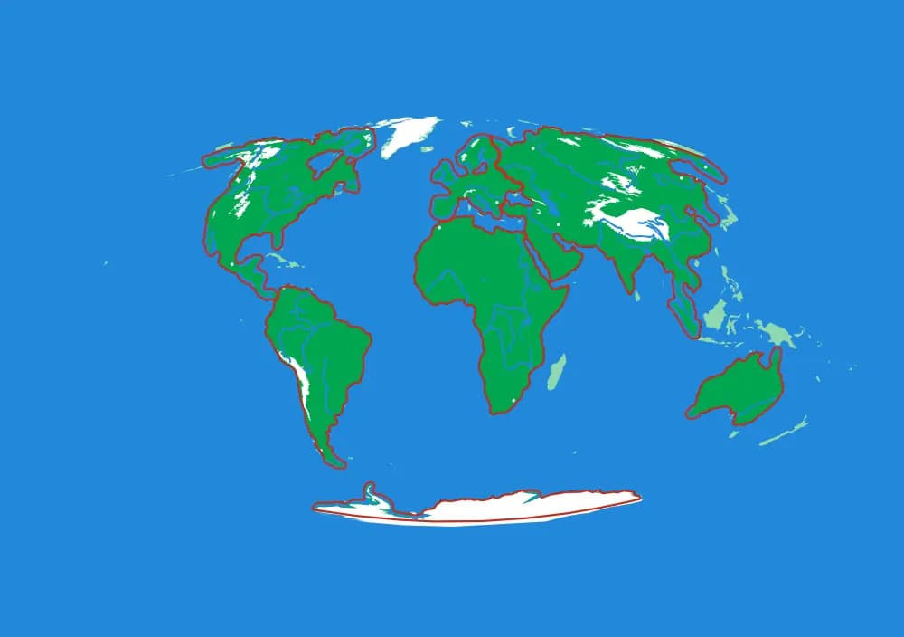
- Level 1The World7 pieces1 mm ≈ 157 km
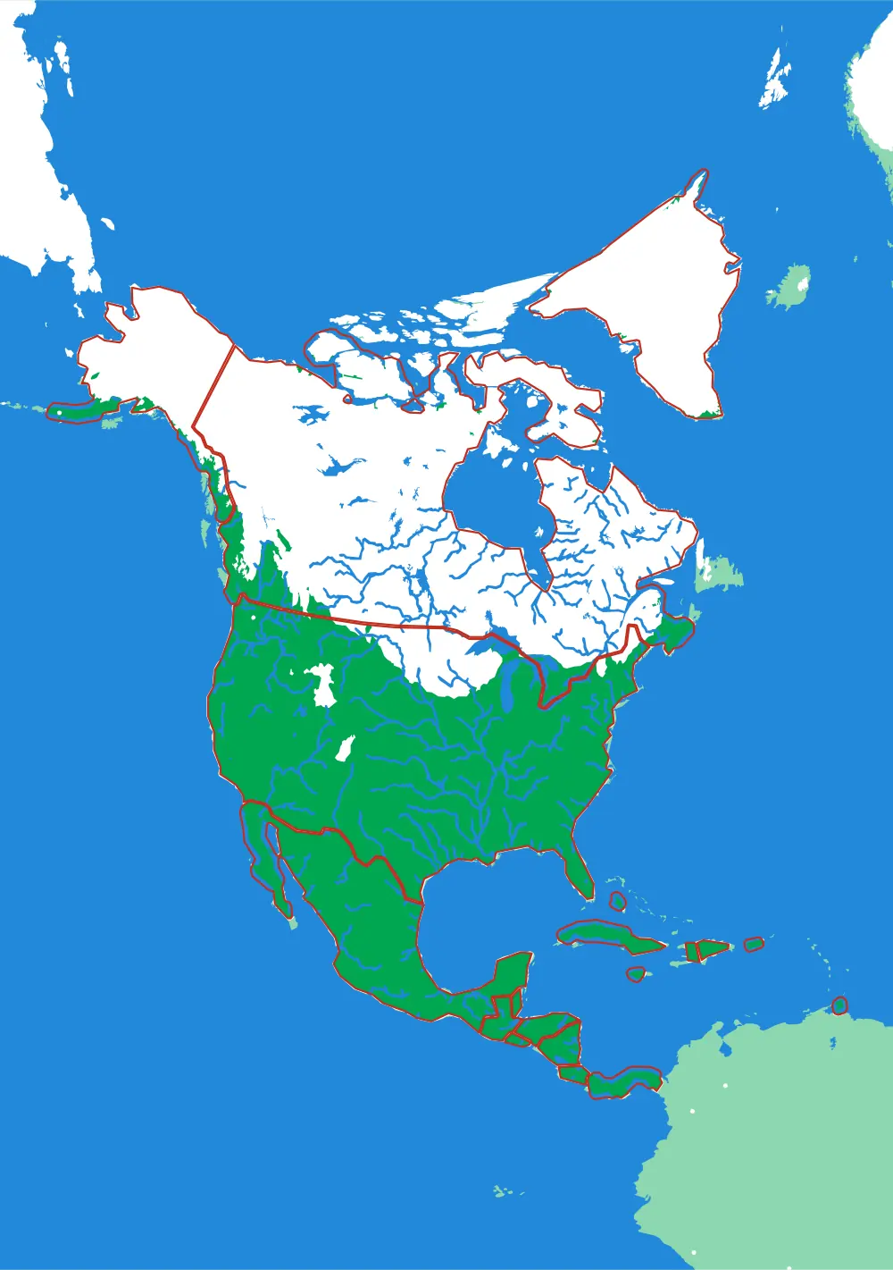
- Level 2North America19 pieces1 mm ≈ 49.3 km
- Level 3The United States50 pieces1 mm ≈ 20.1 km
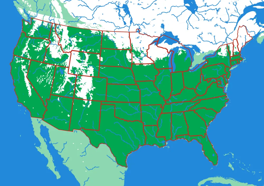
- Level 4North Carolina16 pieces1 mm ≈ 3.4 km
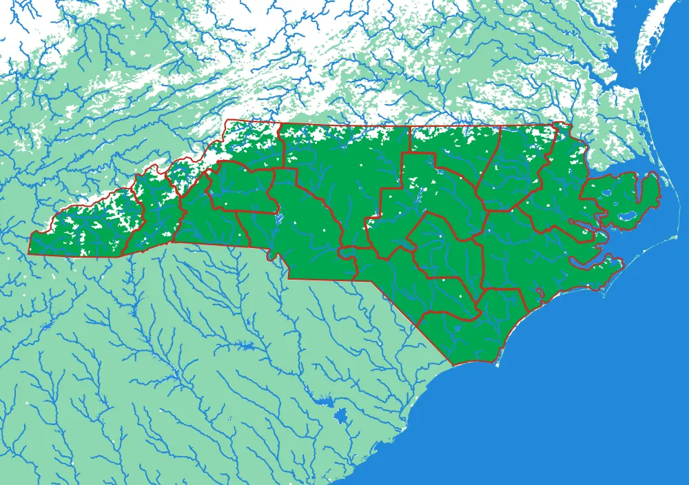
- Level 5Land of Sky43 pieces1 mm ≈ 522 m
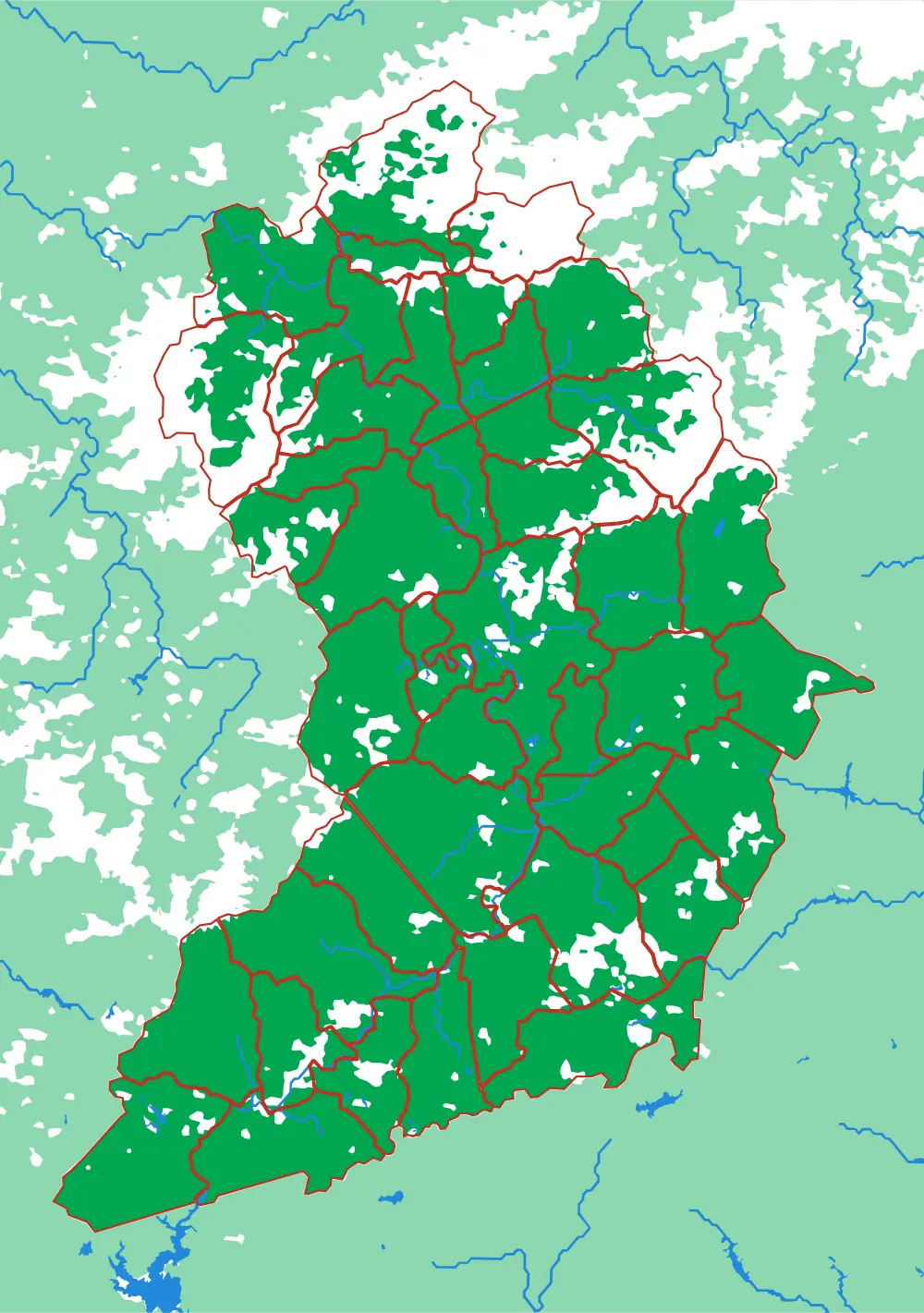
- Level 6Black Mountain4 pieces1 mm ≈ 87 m
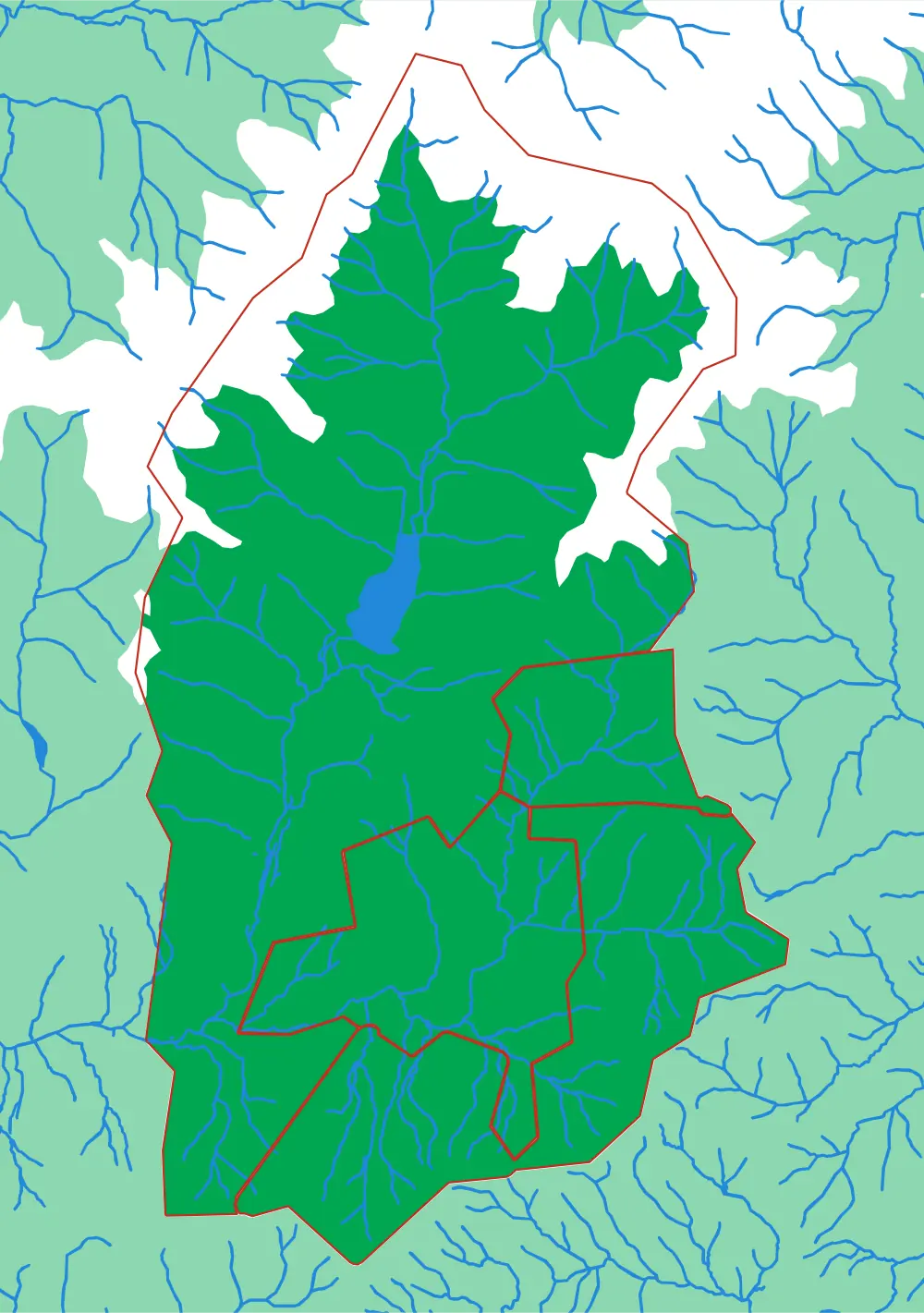
Watch the scale along each row: from tens of kilometres per millimetre down to a hundred or so metres. Every plate is re-cut from the source data at its own scale rather than enlarged, so the last is as detailed as the first. Both routes together are 12 plates.
Zürich
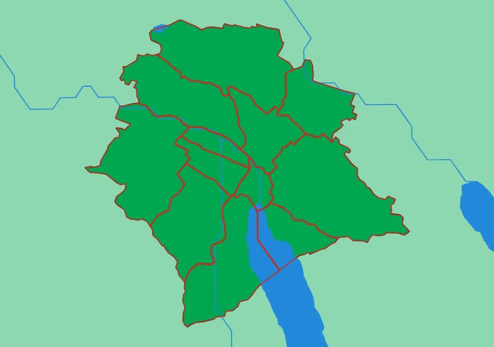
Ending in the twelve Kreise, either side of the Limmat.
Follow the water
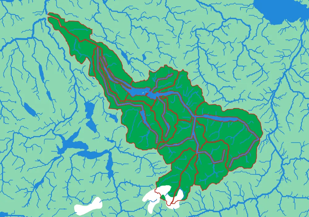
The Rhine down to the river that runs through Zürich
- Level 1The Rhine20 pieces1 mm ≈ 3.4 km
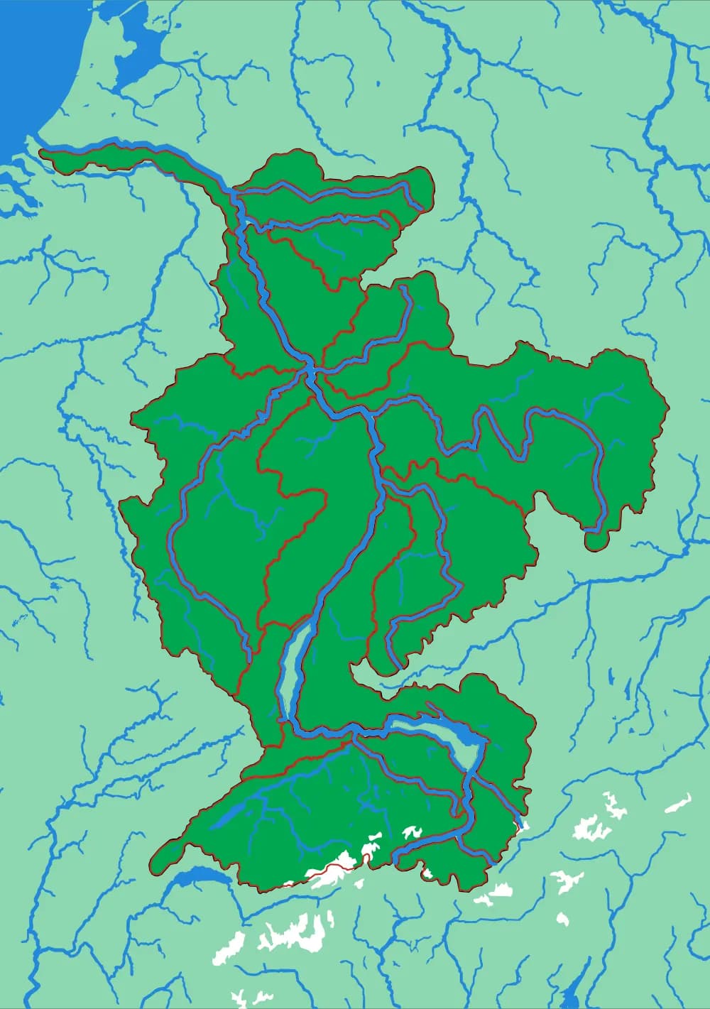
- Level 2The Aare15 pieces1 mm ≈ 1.1 km
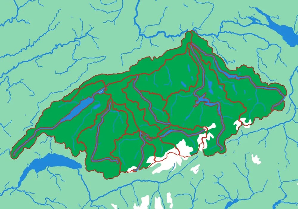
- Level 3The Limmat15 pieces1 mm ≈ 517 m
Follow the borders
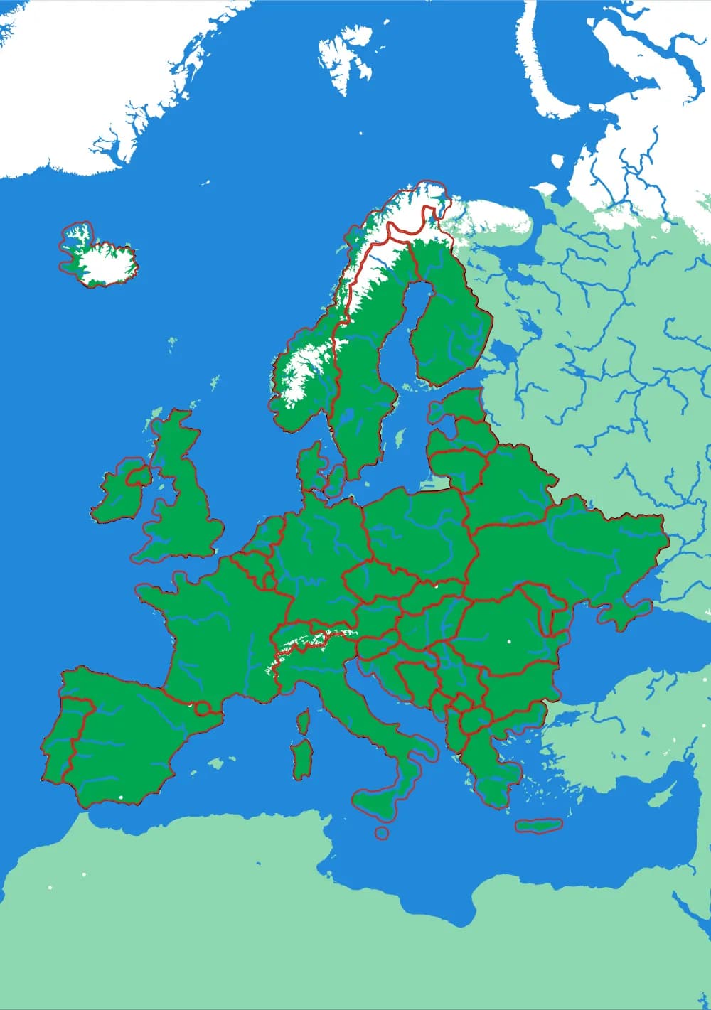
World to continent to country to canton to city district
- Level 1The World7 pieces1 mm ≈ 157 km
- Level 2Europe45 pieces1 mm ≈ 24.7 km
- Level 3Switzerland23 pieces1 mm ≈ 1.5 km
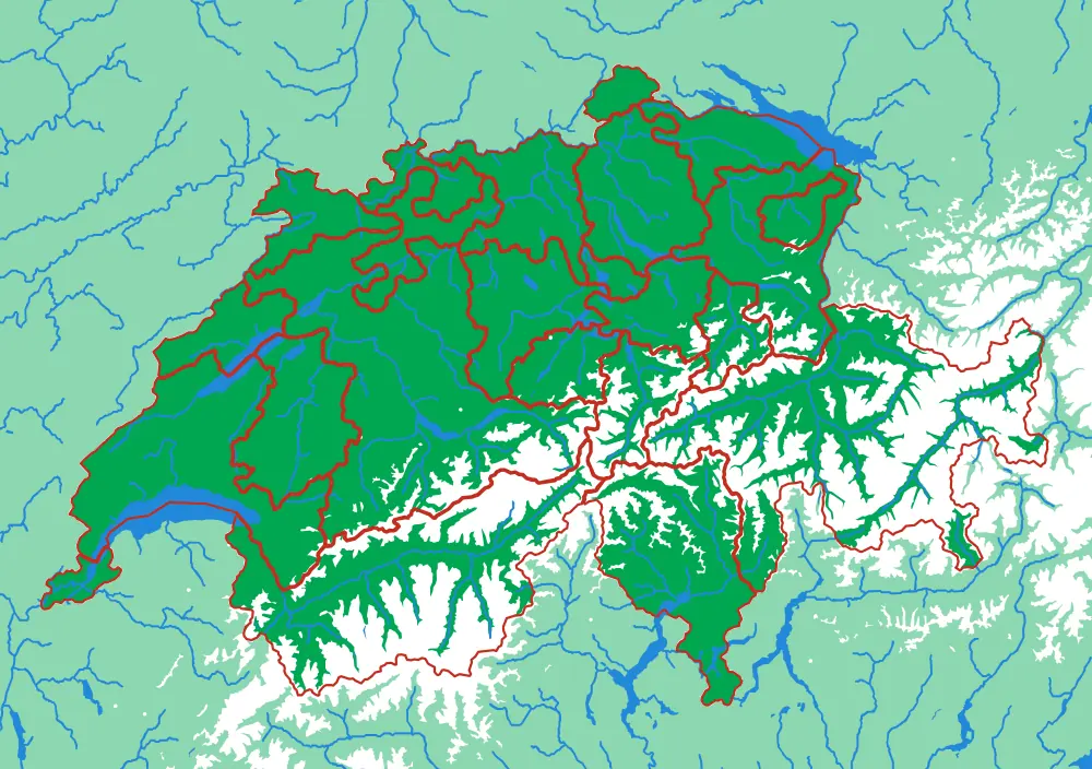
- Level 4Canton Zürich12 pieces1 mm ≈ 305 m
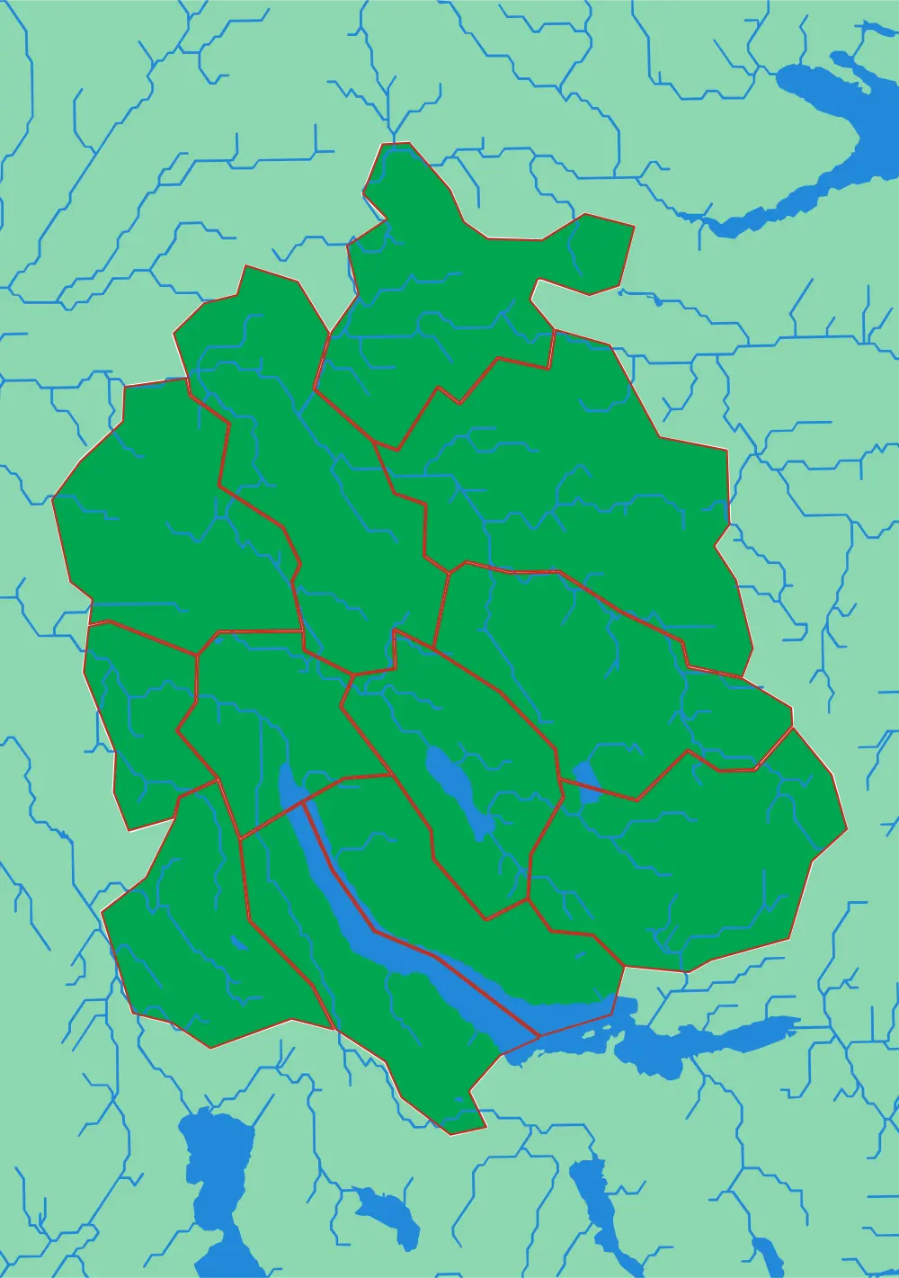
- Level 5Zürich City12 pieces1 mm ≈ 81 m
Watch the scale along each row: from tens of kilometres per millimetre down to a hundred or so metres. Every plate is re-cut from the source data at its own scale rather than enlarged, so the last is as detailed as the first. Both routes together are 8 plates.
Both routes, one place
Take both routes to the same place and it is a 12-plate set
Around Black Mountain the two routes end in the same Appalachian valley — the Swannanoa is the creek, Black Mountain is the town standing in it — so a set built on that one place is both descents together: 12 plates, in a rack cut for exactly that many. The Zürich pair is 8.
It works anywhere. Give a location and a descent can be built back up from it in either direction — the catchment your rain leaves by, or the administrative levels above your street — stopping wherever the set stops being useful. Each level is its own piece of work, and it is the kind we do.
- Drawn here
- 12 plates
- Outside
- 261 × 185 × 197 mm
- One rack holds
- up to 18
Not made yet
Other things a descent could follow
Water and borders are two rules out of many. Each of these would produce a genuine series — a piece of one plate becoming the next — and none of them exist yet. Ask, and the first plate becomes a real question worth working through.
Follow the living world
Realm to biome to ecoregion: the planet divided by what grows on it rather than by who governs it. The boundary between two ecoregions is usually a change you could see out of a car window, which makes it the rare abstract map a child can verify.
data already here
Follow the crust
The world cut into tectonic plates instead of continents — hold the Pacific Plate and the shape of the Ring of Fire stops being a caption. The descent below it would be mountain belt, then range, then massif.
data already here
Follow the height
Cut by contour rather than by any kind of boundary: the coastal plain, the foothills, the high ground, the summits. Every seam is a line of equal elevation, so the pieces stack into the landscape they came from.
data already here
Follow the centuries
One region, one terrain, a plate per era — the borders and settlements moving over ground that does not. The descent is through time rather than through scale, and the last plate is the map you would recognise. It is the most direct way to show a child that a border is a decision somebody made, not a feature of the landscape.
open data exists
Follow the language
Language families to languages to dialects. Switzerland is the obvious first plate — four languages in one country, with the boundaries sitting on ridges often enough to be worth noticing.
open data exists
Follow the climate
Köppen zones, which is how a geography curriculum usually introduces climate — as a coloured wall map. As an object, the surprise is how much of it follows terrain rather than latitude.
open data exists
None of these have been made. They are here because the hard part is rarely the machinery — it is deciding what the pieces should be, and then getting the cut to read at that scale. Each would take a round of real work, and each is the kind of work worth doing.