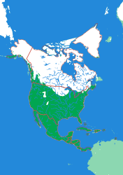
Generated from the same geometry the printer is handed — the plate seen from directly above. It cannot show the relief, which is the part you have to hold.
North America
Nineteen countries, Panama to the Arctic
Getting Caribbean nations onto a puzzle at continental scale is a real constraint: at this size Trinidad and Tobago is a few square millimetres, and a piece that small will not survive being picked up by a five-year-old. The pipeline enforces a minimum piece size against the true land area rather than the simplified outline, so the small island states are present and honestly proportioned rather than quietly dropped.
What a child works out
- North America goes much further south than most people expect.
- Small countries are still countries, and the map should show them.
- Central America is a narrow mountain bridge, not a flat isthmus.
The plate
- Pieces
- 19 pieces
- Plate
- 176 × 250 mm
- Scale
- 1 mm ≈ 49.3 km
- Vertical exaggeration
- × 31.29
- Thickness
- 8.8 mm
- Smallest piece
- 8 mm²
- Fit
- 0.35 mm clearance
- Material
- PLA, printed in Switzerland
B5 — the size of a school exercise book.
How much ground one millimetre of plate covers.
Height is stretched by this factor so the relief is readable at desk size.
Nothing is cut smaller than a child can pick up.
Printed in place, so every piece seats first time without sanding.
Every named piece
- Alaska
- Bahamas
- Belize
- Canada
- Costa Rica
- Cuba
- Dominican Republic
- El Salvador
- Greenland
- Guatemala
- Haiti
- Honduras
- Jamaica
- Mexico
- Nicaragua
- Panama
- Puerto Rico
- Trinidad and Tobago
- United States
Zoom in, zoom out
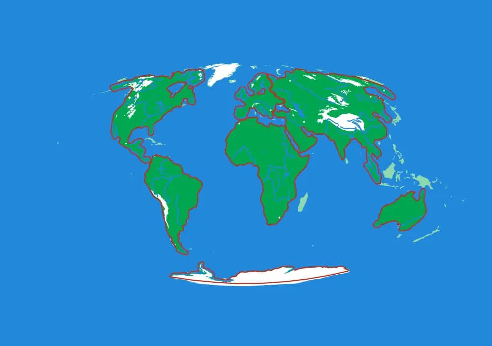
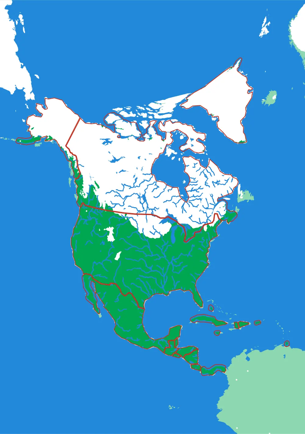
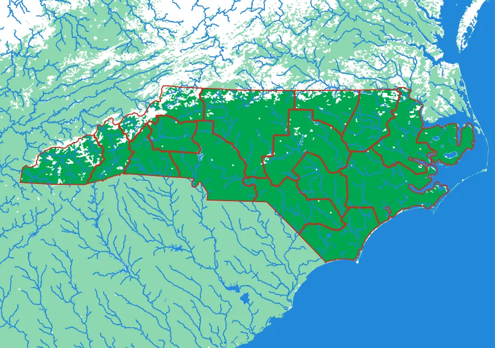
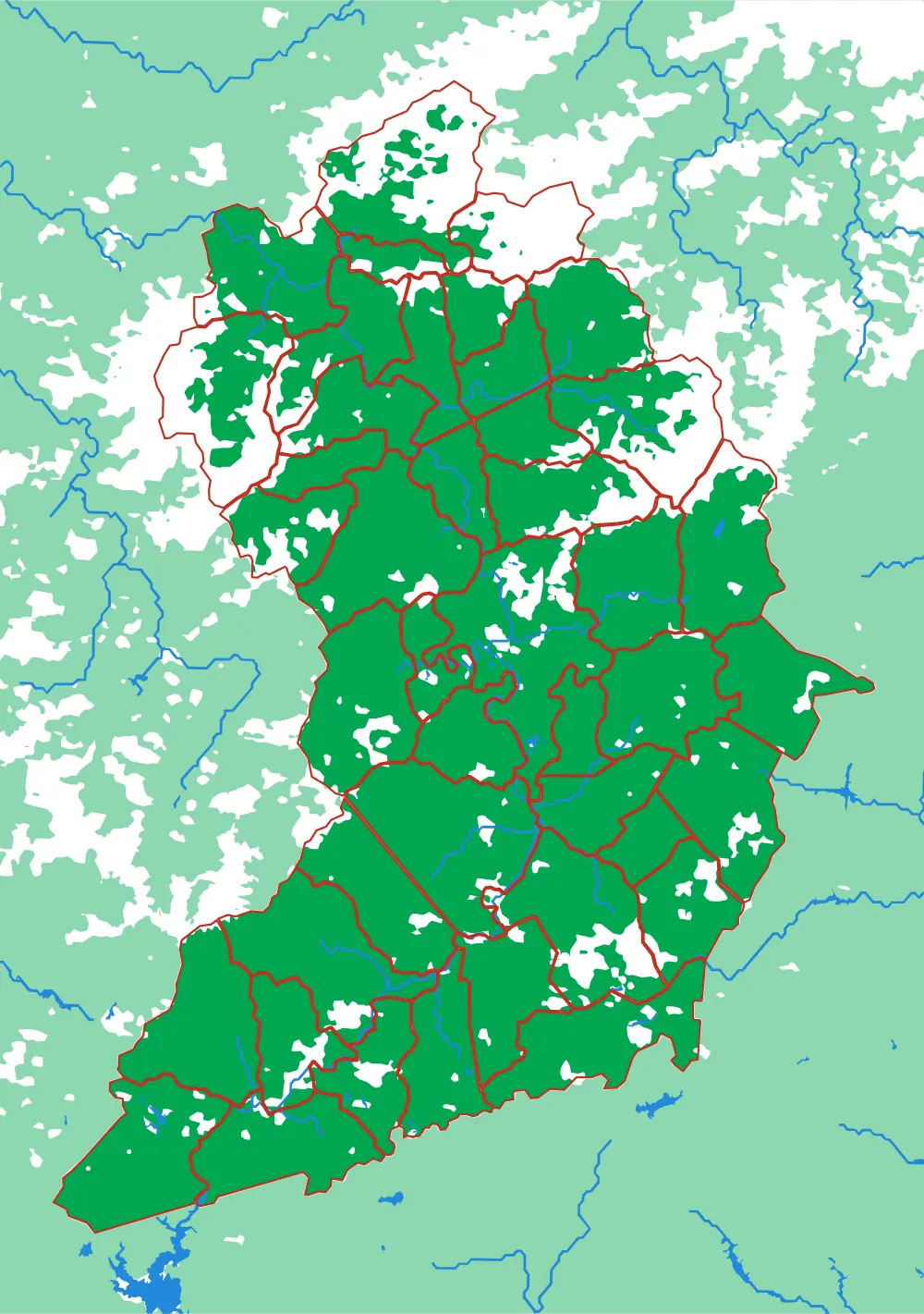
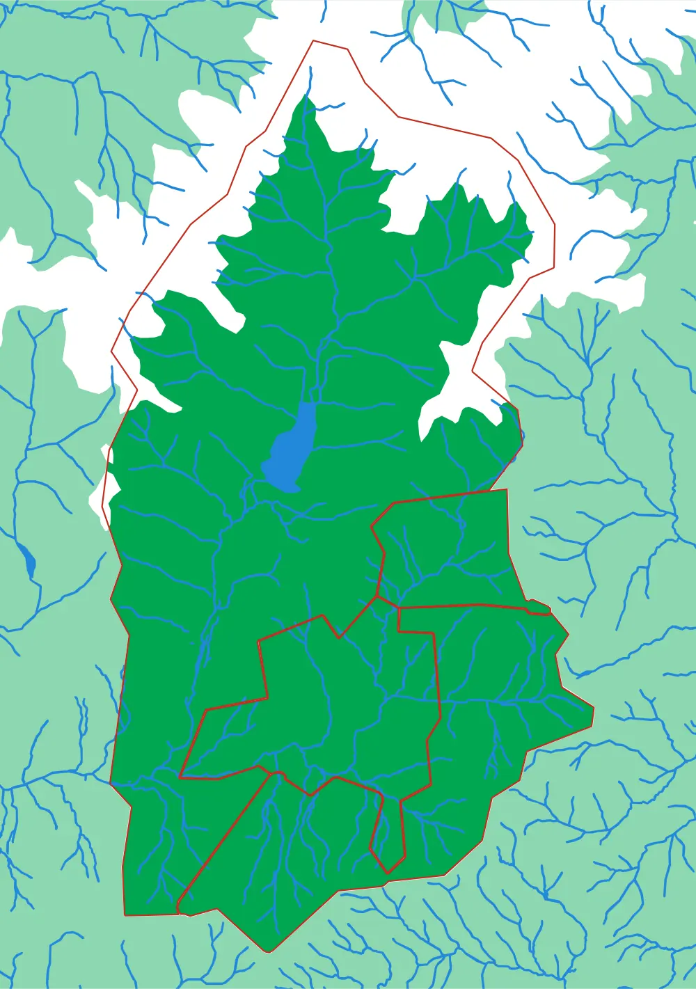
A piece of each of these is the subject of the next one. Each plate is redrawn at its own scale, so it is a real map at every level rather than an enlargement of the one above.
Follow the borders — World to continent to country to state to township
More from Countries & States
See all →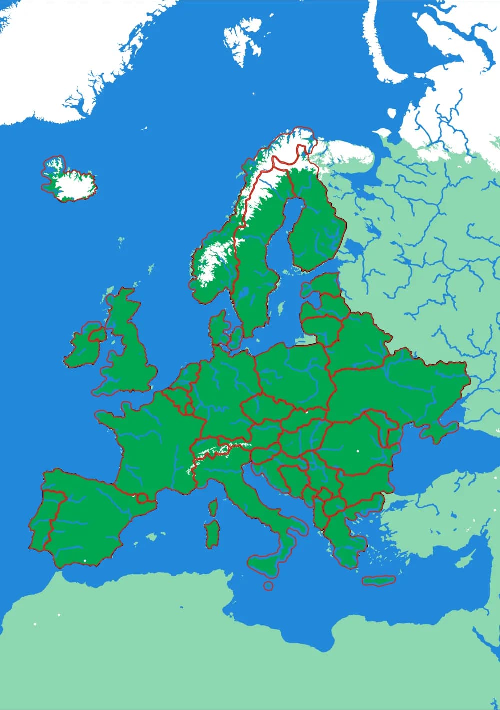
Europe
Forty-five countries at real elevation
The political map, printed on the terrain it was drawn over. Forty-five pieces, from Andorra to Russia's western edge.
- Pieces
- 45 pieces
- Scale
- 1 mm ≈ 24.7 km
- Suitable for
- Ages 6 and up
- Price
- CHF 120.00
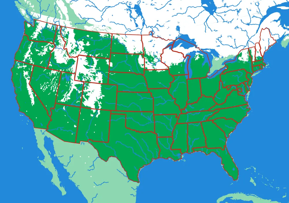
The United States
The lower forty-eight, and two pieces you would not expect
Fifty pieces. The straight western borders and the crooked eastern ones, over the ground that explains both.
- Pieces
- 50 pieces
- Scale
- 1 mm ≈ 20.1 km
- Suitable for
- Ages 6 and up
- Price
- CHF 120.00
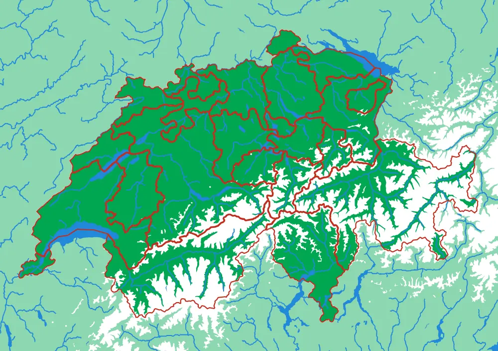
Switzerland
Twenty-three cantons over the Alps
The cantons, printed at 1 mm to 1.5 km, with the Alps in white and every major lake in blue.
- Pieces
- 23 pieces
- Scale
- 1 mm ≈ 1.5 km
- Suitable for
- Ages 6 and up
- Price
- CHF 120.00