Level 1 of 6
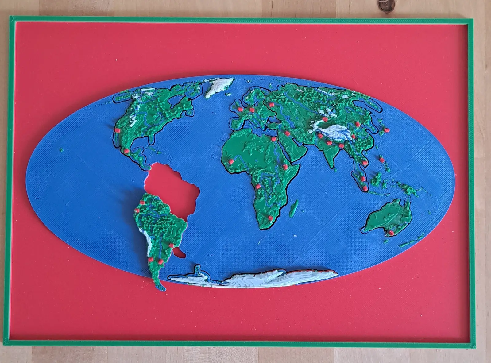
The World
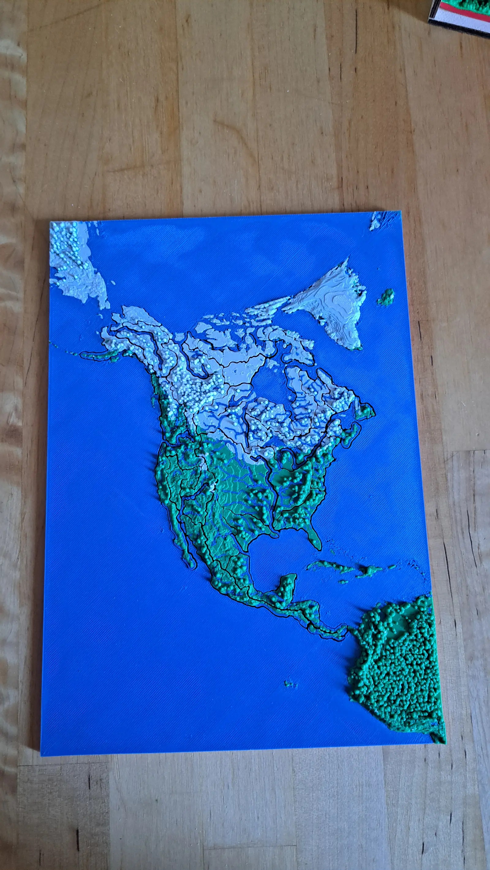
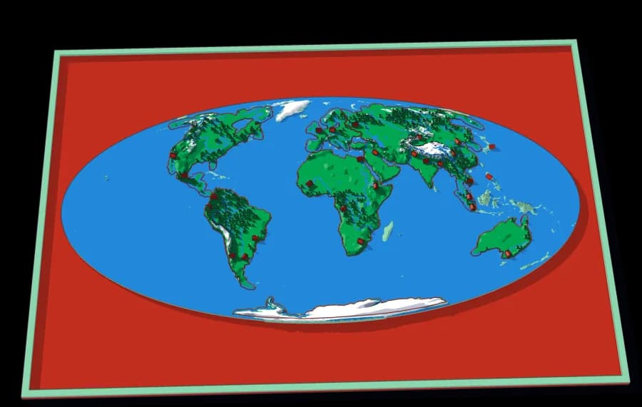
Seven continents in one ocean
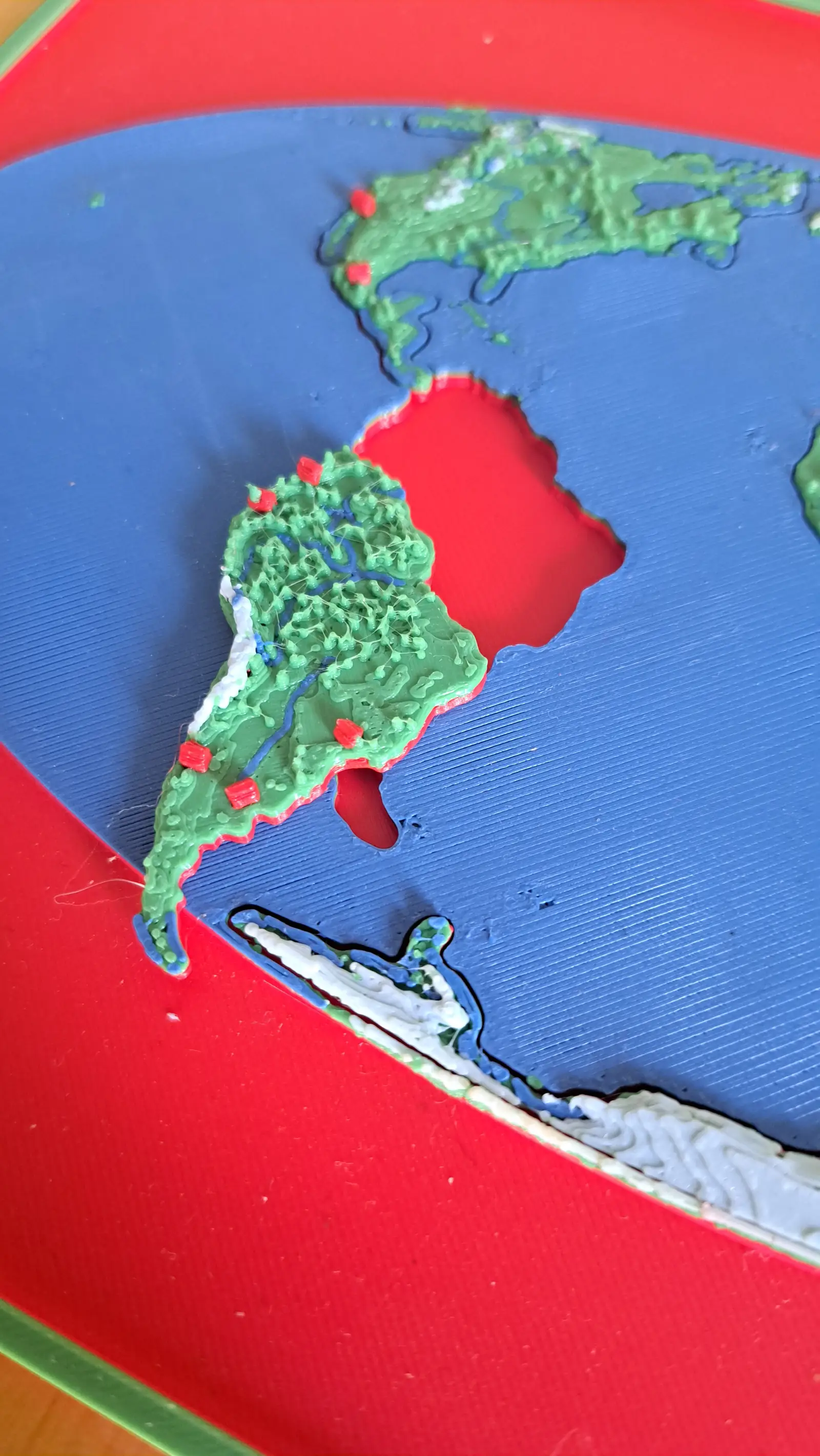
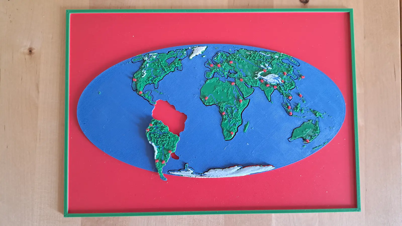
The whole planet on a B5 plate. Seven pieces lift out of a single sheet of ocean.
7 pieces · 1 mm ≈ 157 km
Collection
Ending in one Appalachian valley in western North Carolina.
12 plates, each a piece of the one above it, from the World down to this ground. Lift a piece out of one plate and it is the subject of the next.
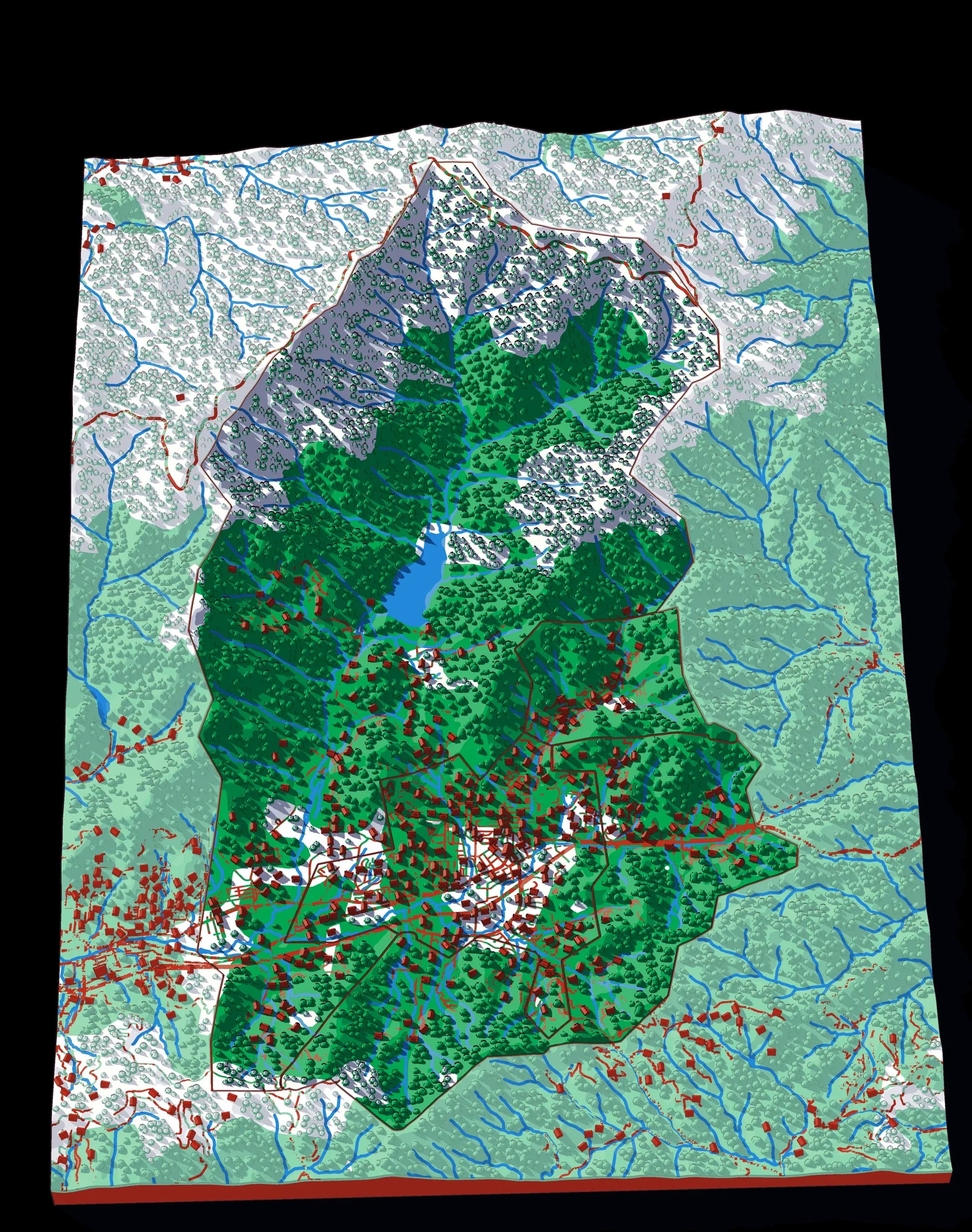
From the whole World to ground you could walk across in an afternoon: the last plate is 1,803 times closer than the first, and every one of them is a real map at its own scale.
World to continent to country to state to township
A descent cut by the lines people drew. A world is made of continents, a continent of countries, a country of regions, a region of towns — and each one is a plate whose piece becomes the next plate.
Level 1 of 6
Seven continents in one ocean
The whole planet on a B5 plate. Seven pieces lift out of a single sheet of ocean.
7 pieces · 1 mm ≈ 157 km
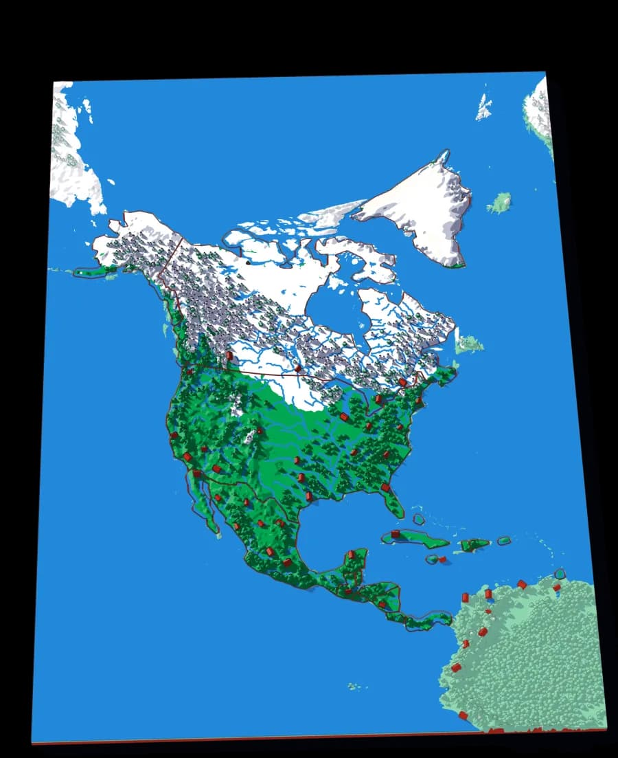
Level 2 of 6
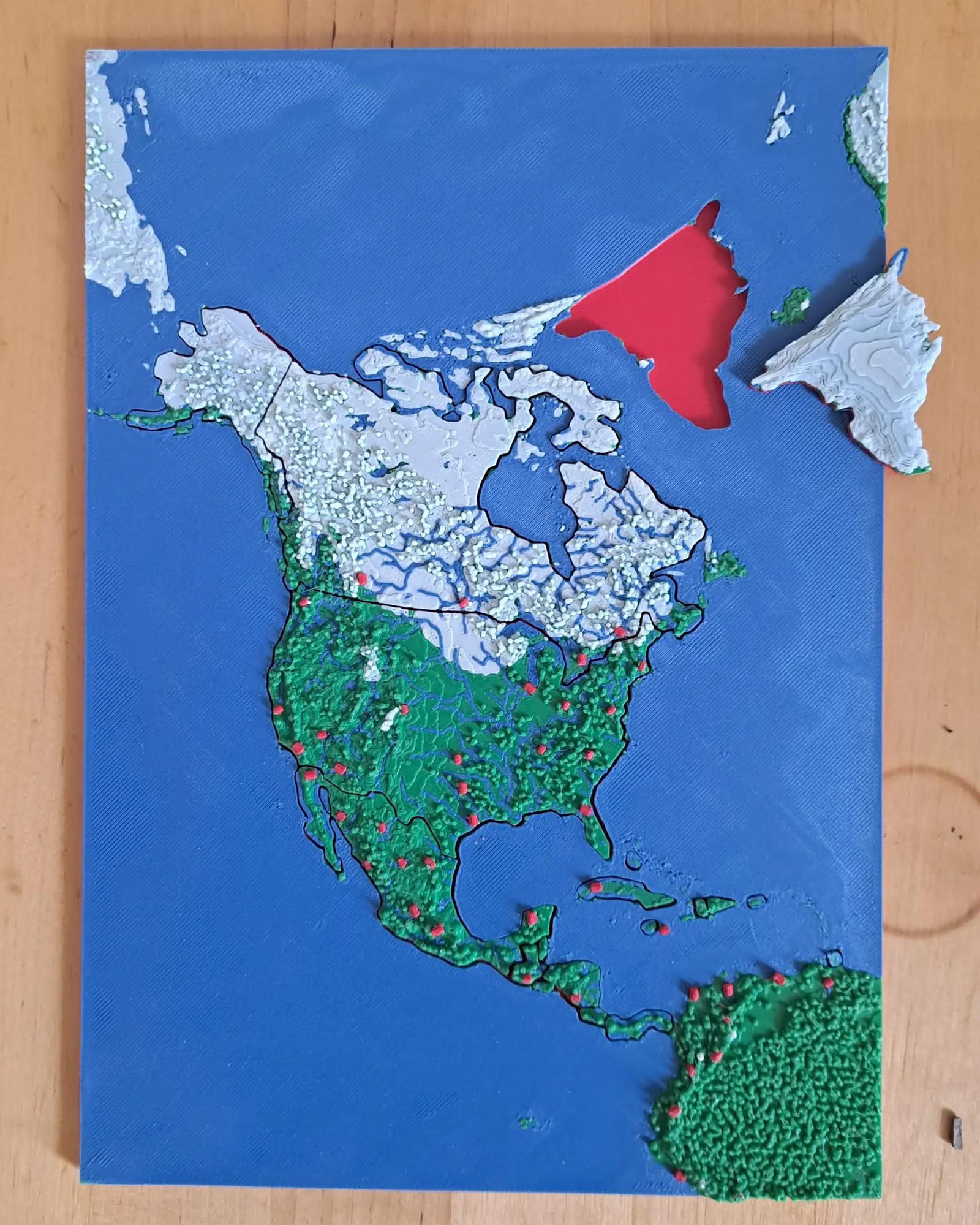
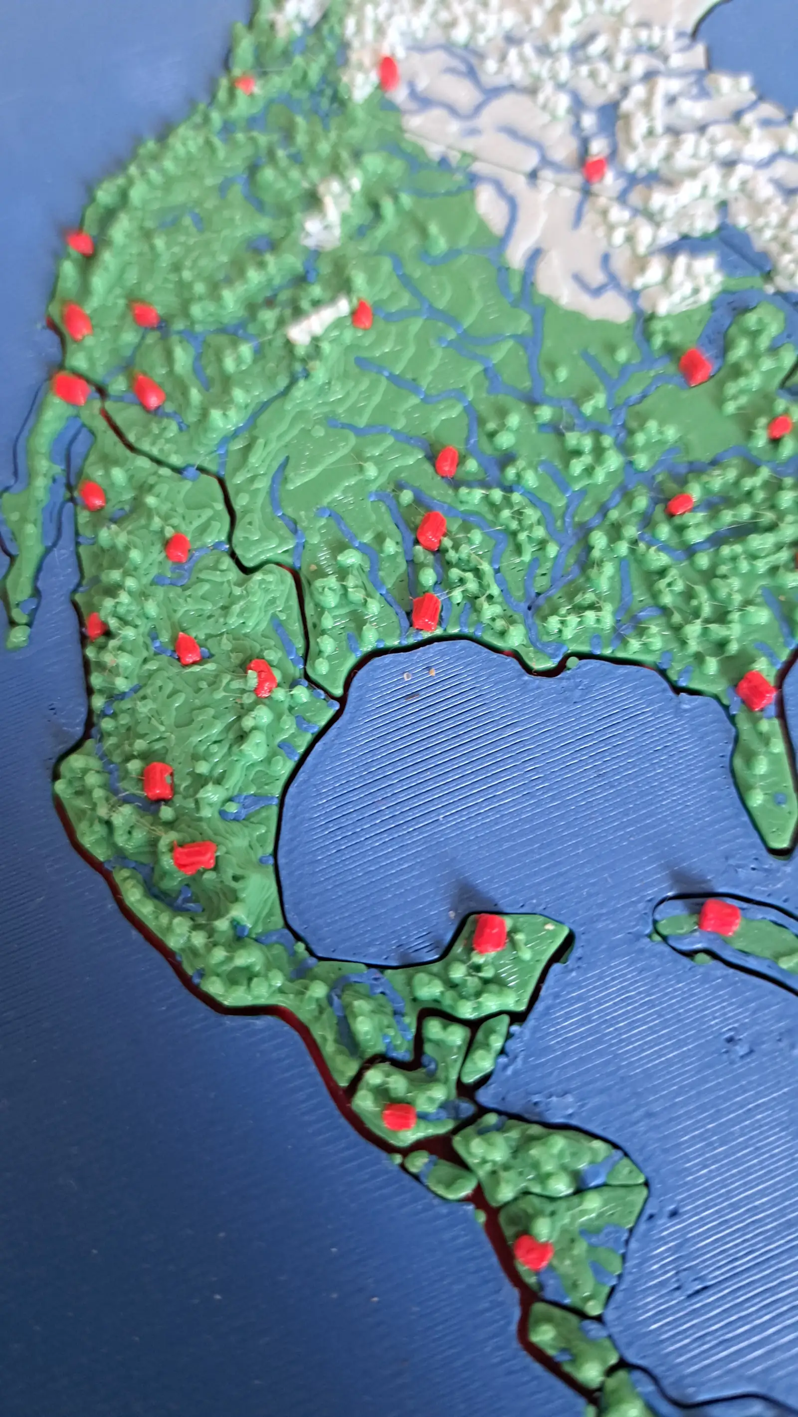
Nineteen countries, Panama to the Arctic
The continent as countries — including the Caribbean islands that are usually too small to cut.
6 pieces · 1 mm ≈ 49.3 km
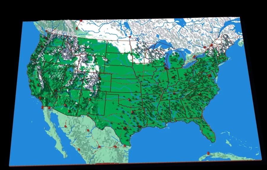
Level 3 of 6
The lower forty-eight, and two pieces you would not expect
Fifty pieces. The straight western borders and the crooked eastern ones, over the ground that explains both.
46 pieces · 1 mm ≈ 20.1 km
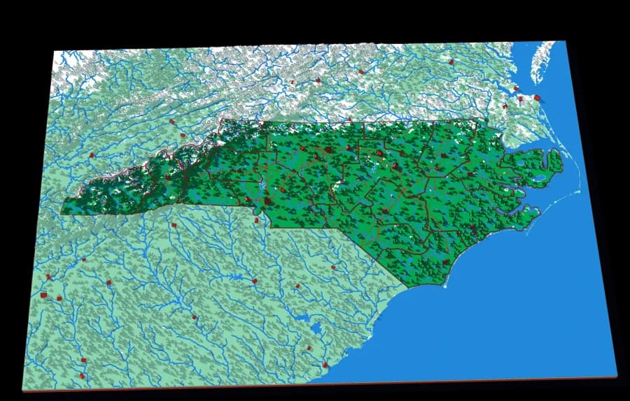
Level 4 of 6
Sixteen regions, mountains to barrier islands
One state that runs from the highest peaks in the eastern US to the Outer Banks, in sixteen pieces.
16 pieces · 1 mm ≈ 3.4 km
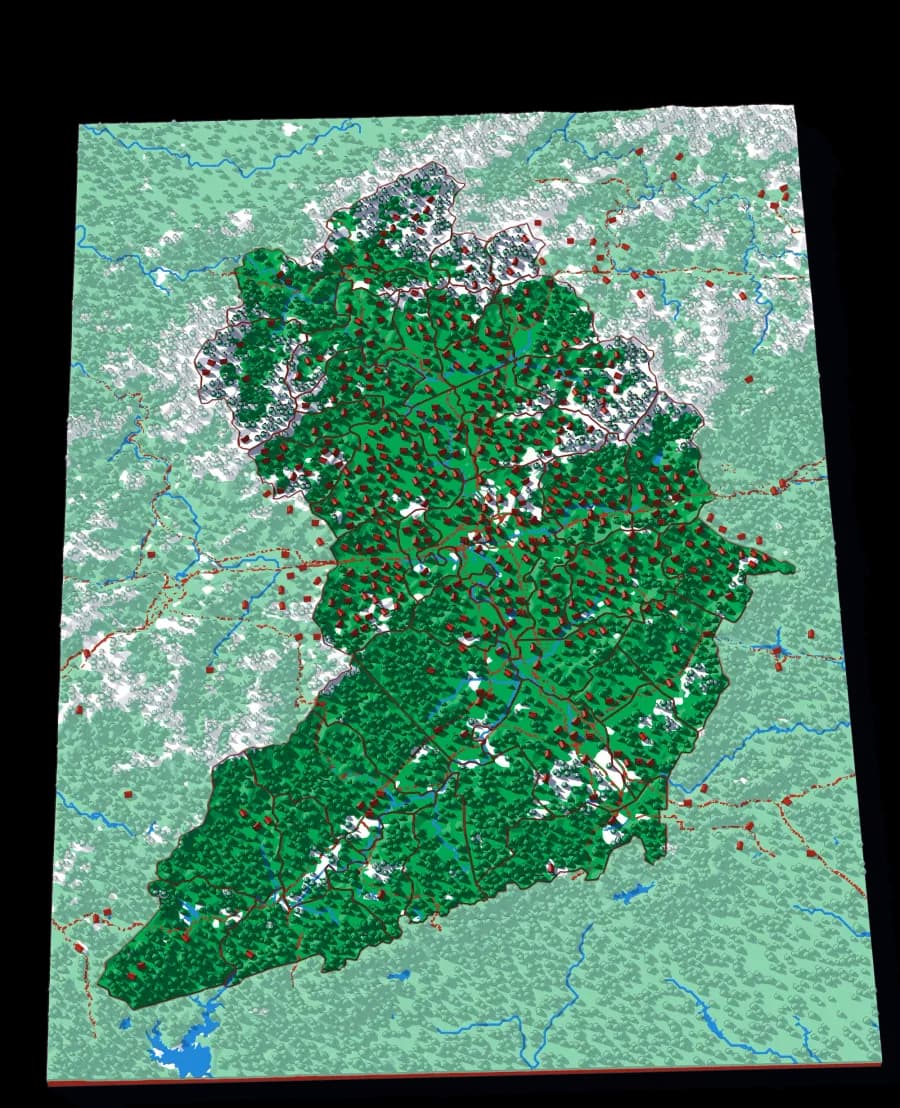
Level 5 of 6
Forty-three townships around Asheville
The most pieces of any plate in the collection, at a scale where you can find the road you live on.
43 pieces · 1 mm ≈ 522 m
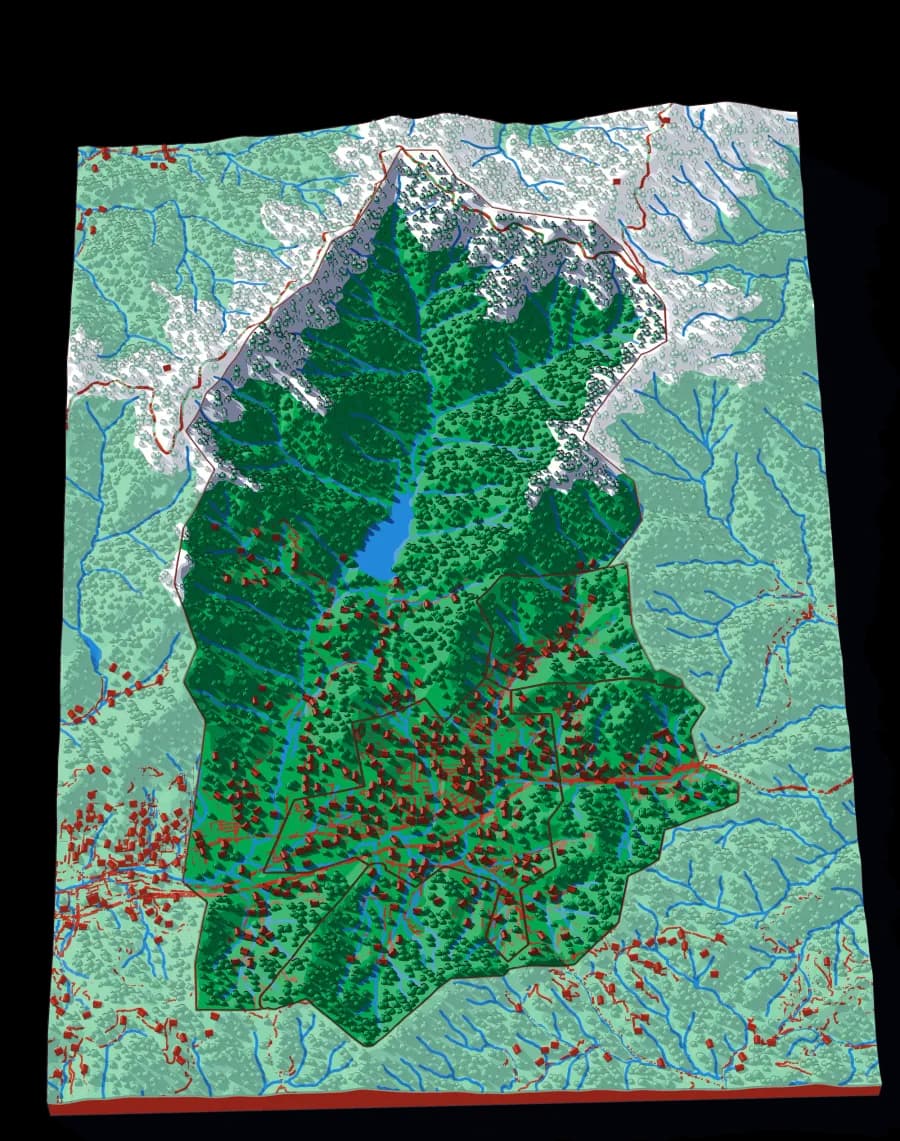
Level 6 of 6
Four towns in one Appalachian valley
Four pieces at 87 metres to the millimetre. Small, simple, and very local.
4 pieces · 1 mm ≈ 87 m
The world to one creek, cut by ridge lines with no borders
The same descent, cut the other way. A watershed is all the land whose rain ends up in the same river. Every cut follows a ridge, so each piece is one tributary's whole territory — and the piece you lift out of one plate is the subject of the next.
Level 1 of 7
Seven continents in one ocean
The whole planet on a B5 plate. Seven pieces lift out of a single sheet of ocean.
7 pieces · 1 mm ≈ 157 km
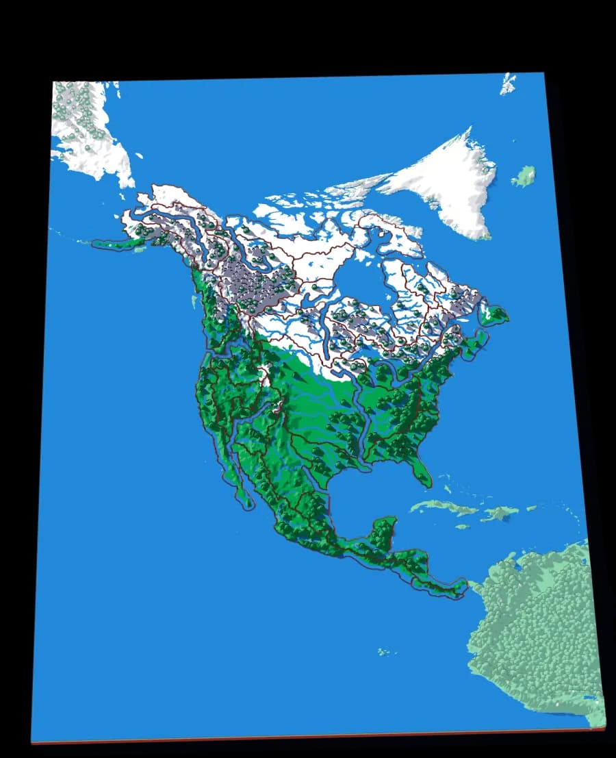
Level 2 of 7
A continent divided only by where water goes
No countries, no states. Twenty-nine pieces, each one the whole territory that drains into a single river.
29 pieces · 1 mm ≈ 49.4 km
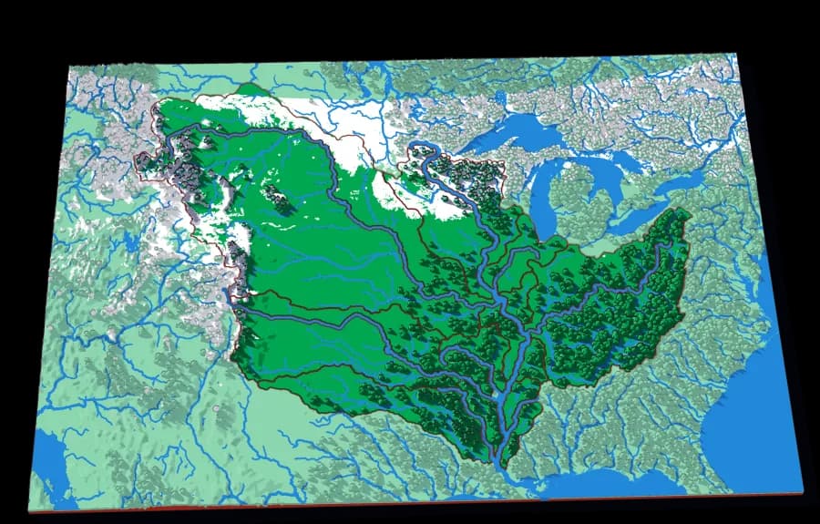
Level 3 of 7
The basin that drains a third of a continent
Fifteen pieces — Missouri, Ohio, Arkansas, Red, Illinois — that together are about three million square kilometres of drainage.
13 pieces · 1 mm ≈ 14.5 km
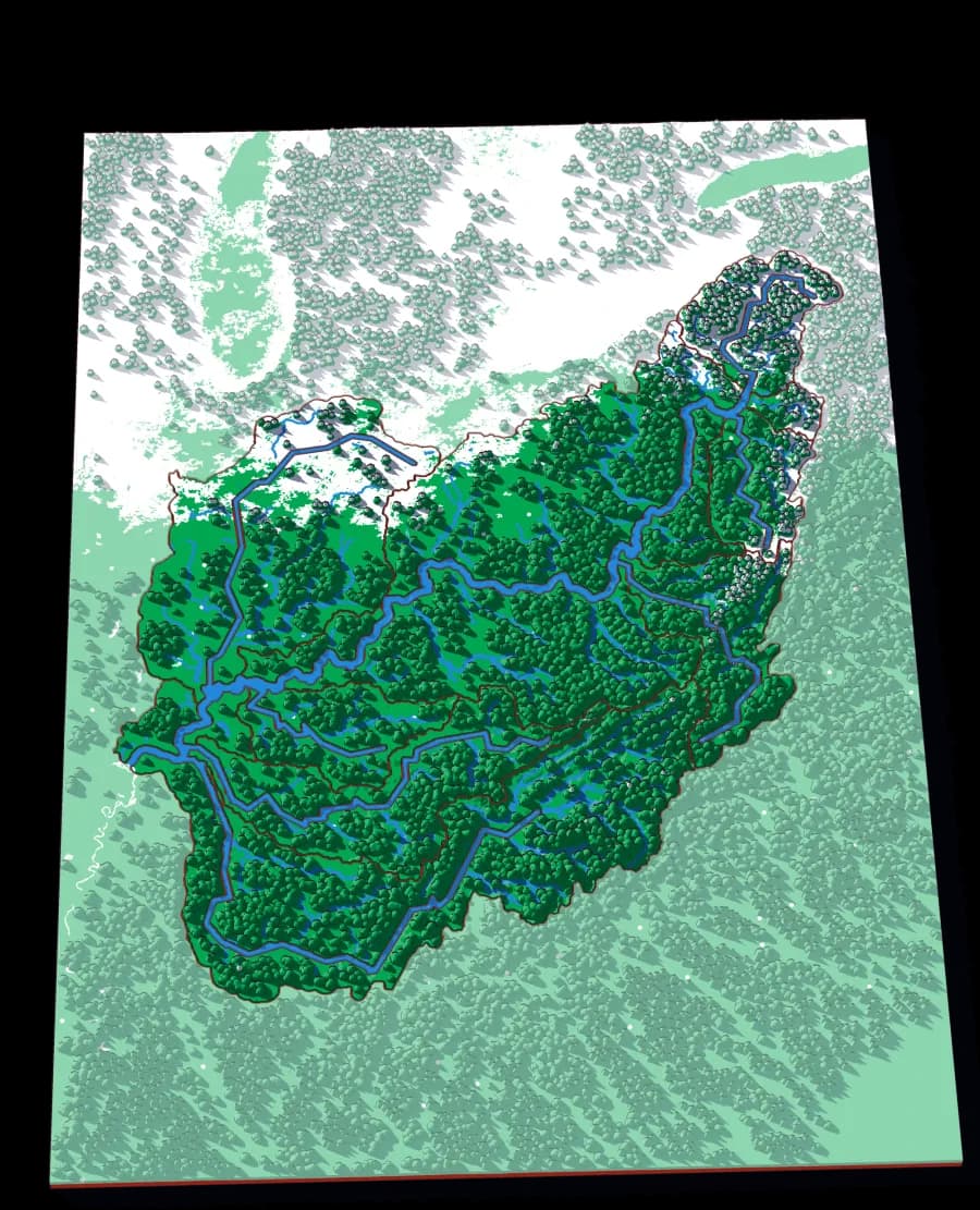
Level 4 of 7
Where the Appalachians drain west
Eighteen pieces: the Tennessee, the Cumberland, the Allegheny, the Monongahela, the Wabash and the ridges between them.
14 pieces · 1 mm ≈ 5.8 km
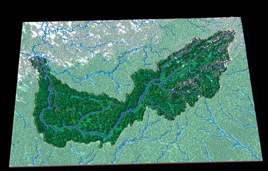
Level 5 of 7
The river that goes the wrong way
Seventeen pieces including the French Broad, the Holston, the Clinch, the Little Tennessee and the Hiwassee.
13 pieces · 1 mm ≈ 2.8 km
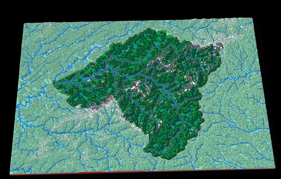
Level 6 of 7
Older than the mountains it runs through
Seventeen pieces around Asheville — the Swannanoa, the Pigeon, the Nolichucky, Big Laurel, the Ivy.
18 pieces · 1 mm ≈ 976 m
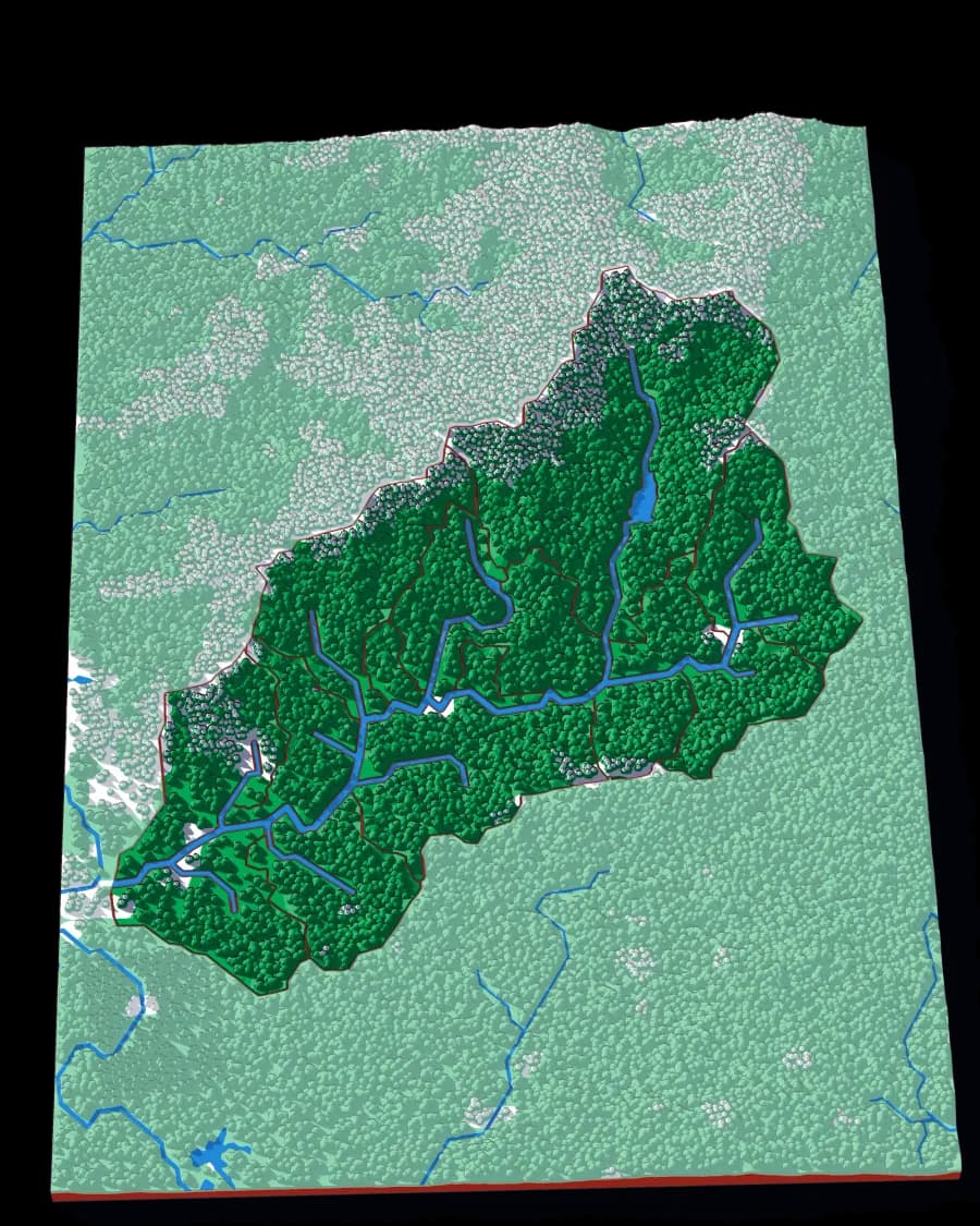
Level 7 of 7
One valley, fifteen creeks
The deepest zoom in the collection: a single Appalachian valley, cut into the fifteen creek basins that make it.
15 pieces · 1 mm ≈ 163 m
Photographs of plates from this collection, as they came off the printer.