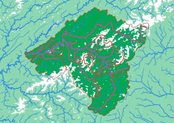
Generated from the same geometry the printer is handed — the plate seen from directly above. It cannot show the relief, which is the part you have to hold.
The French Broad
Older than the mountains it runs through
This is the western North Carolina mountains at the scale you would walk them. The relief is the most dramatic in the collection relative to its size: the plate covers ground that rises from valley floors to the highest peaks in the eastern United States, and the exaggeration is set so a fingertip can read the difference. The Swannanoa piece, the small one on the east side, is the valley Asheville sits in — and it is the subject of its own puzzle.
What a child works out
- A single valley is made of smaller valleys, all the way down.
- Where two pieces meet, you are touching a ridge you could stand on.
- The shape of a town's watershed is the shape of the ground its weather runs off.
The plate
- Pieces
- 17 pieces
- Plate
- 250 × 176 mm
- Scale
- 1 mm ≈ 976 m
- Vertical exaggeration
- × 2.15
- Thickness
- 8.8 mm
- Smallest piece
- 122 mm²
- Fit
- 0.35 mm clearance
- Material
- PLA, printed in Switzerland
8 named; the rest are sub-basins the source data leaves unnamed.
B5 — the size of a school exercise book.
How much ground one millimetre of plate covers.
Height is stretched by this factor so the relief is readable at desk size.
Nothing is cut smaller than a child can pick up.
Printed in place, so every piece seats first time without sanding.
Every named piece
- Big Laurel
- Holston
- Ivy
- Little Pigeon
- Nolichucky
- Pigeon
- Pigeon 2
- Swannanoa
Zoom in, zoom out
A piece of each of these is the subject of the next one. Each plate is redrawn at its own scale, so it is a real map at every level rather than an enlargement of the one above.
Follow the water — A continent to one creek, cut by ridge lines with no borders
More from Watersheds
See all →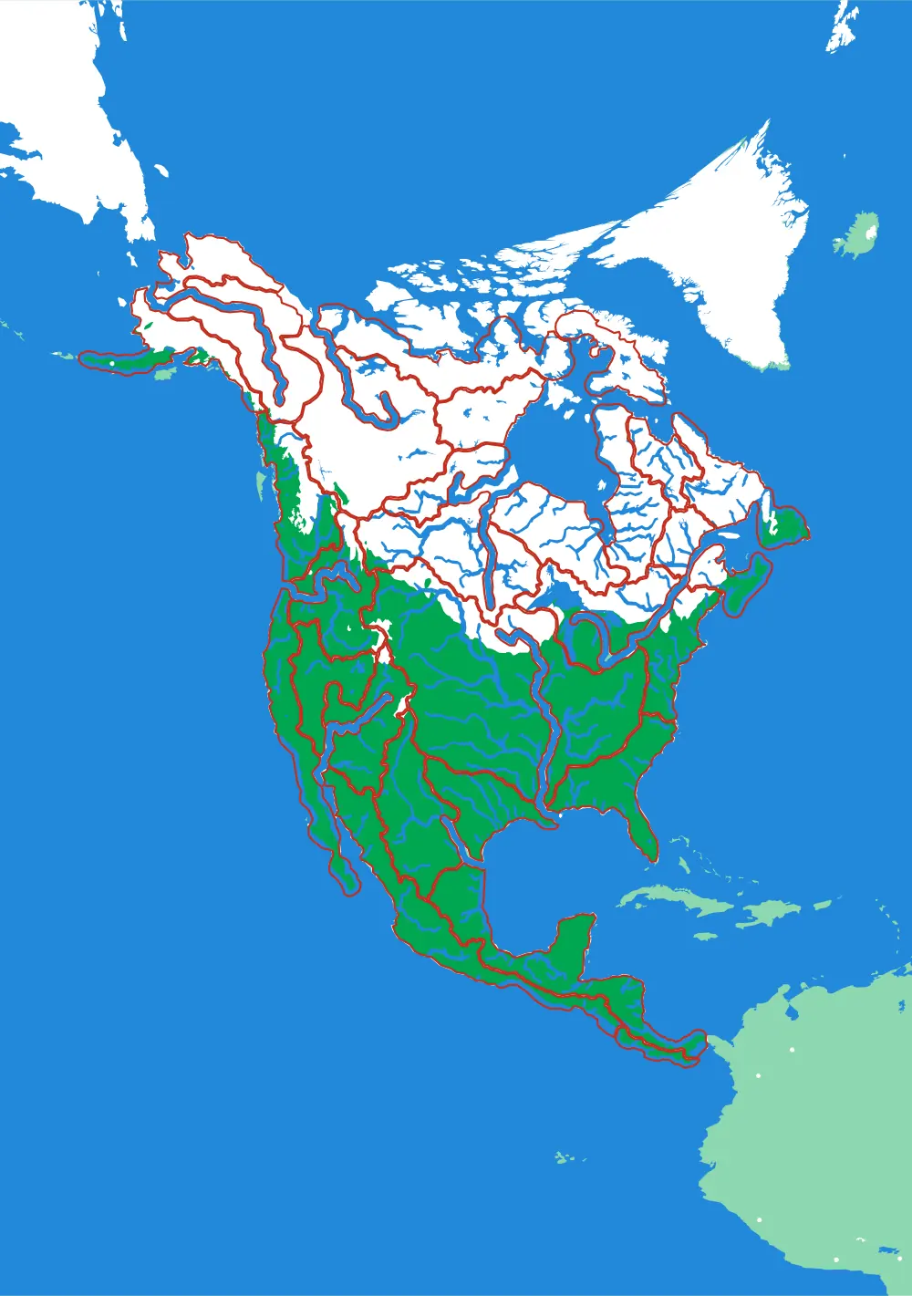
North America by River
A continent divided only by where water goes
No countries, no states. Twenty-nine pieces, each one the whole territory that drains into a single river.
- Pieces
- 29 pieces
- Scale
- 1 mm ≈ 49.4 km
- Suitable for
- Ages 8 and up
- Price
- CHF 120.00
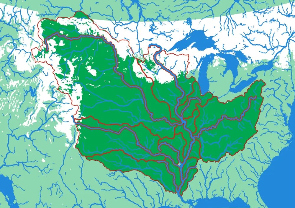
The Mississippi
The basin that drains a third of a continent
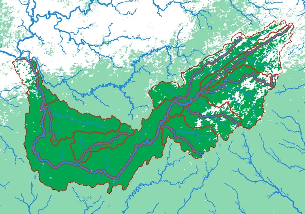
Fifteen pieces — Missouri, Ohio, Arkansas, Red, Illinois — that together are about three million square kilometres of drainage.
- Pieces
- 15 pieces
- Scale
- 1 mm ≈ 14.5 km
- Suitable for
- Ages 8 and up
- Price
- CHF 120.00
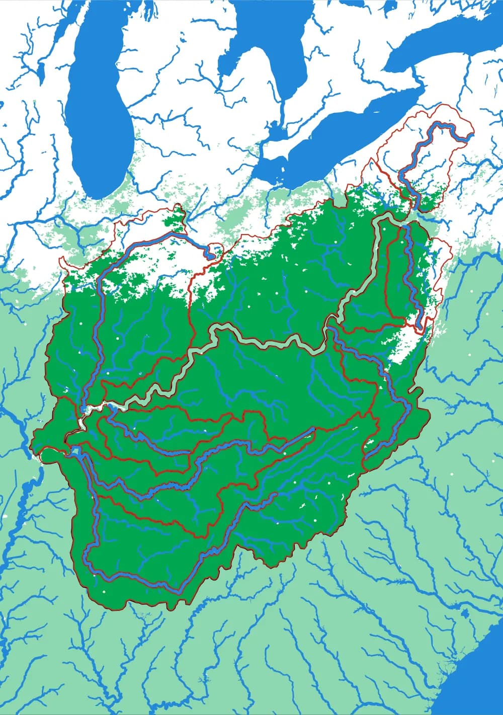
The Ohio
Where the Appalachians drain west
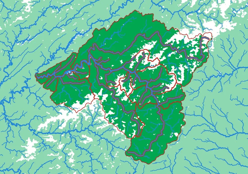
Eighteen pieces: the Tennessee, the Cumberland, the Allegheny, the Monongahela, the Wabash and the ridges between them.
- Pieces
- 18 pieces
- Scale
- 1 mm ≈ 5.8 km
- Suitable for
- Ages 8 and up
- Price
- CHF 120.00