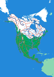
Generated from the same geometry the printer is handed — the plate seen from directly above. It cannot show the relief, which is the part you have to hold.
North America by River
A continent divided only by where water goes
This is North America as water sees it. There is no United States and no Canada on this plate — instead there is the Mississippi, the Mackenzie, the Yukon, the Colorado, the St Lawrence, each one a single piece covering every square kilometre whose rain ends up in that river. Set beside an ordinary political map it makes a point that is hard to make any other way: the lines that organise the land physically are not the lines on the wall map, and the Mississippi's territory alone is bigger than most countries.
What a child works out
- A river is not a line — it is a territory.
- Continental divides are ridges, and you can feel them as the high ground between two pieces.
- Political borders and natural ones almost never agree.
The plate
- Pieces
- 29 pieces
- Plate
- 176 × 250 mm
- Scale
- 1 mm ≈ 49.4 km
- Vertical exaggeration
- × 30.74
- Thickness
- 8.8 mm
- Smallest piece
- 35 mm²
- Fit
- 0.35 mm clearance
- Material
- PLA, printed in Switzerland
B5 — the size of a school exercise book.
How much ground one millimetre of plate covers.
Height is stretched by this factor so the relief is readable at desk size.
Nothing is cut smaller than a child can pick up.
Printed in place, so every piece seats first time without sanding.
Every named piece
- Alabama
- Back
- Brazos
- Churchill
- Churchill Hudson
- Colorado
- Columbia
- Colville
- Foxe
- Fraser
- Hayes
- Humboldt
- Kuskokwim
- La Grande
- Mackenzie
- Mississippi
- Nelson
- Rio Grande
- Ro Grande de Santiago
- Ro Grande de Santiago 2
- Sacramento
- Saguenay
- Saint John
- St Lawrence
- Susquehanna
- Thelon
- Ungava
- Usumacinta
- Yukon
Zoom in, zoom out
A piece of each of these is the subject of the next one. Each plate is redrawn at its own scale, so it is a real map at every level rather than an enlargement of the one above.
Follow the water — A continent to one creek, cut by ridge lines with no borders
More from Watersheds
See all →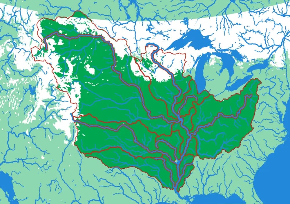
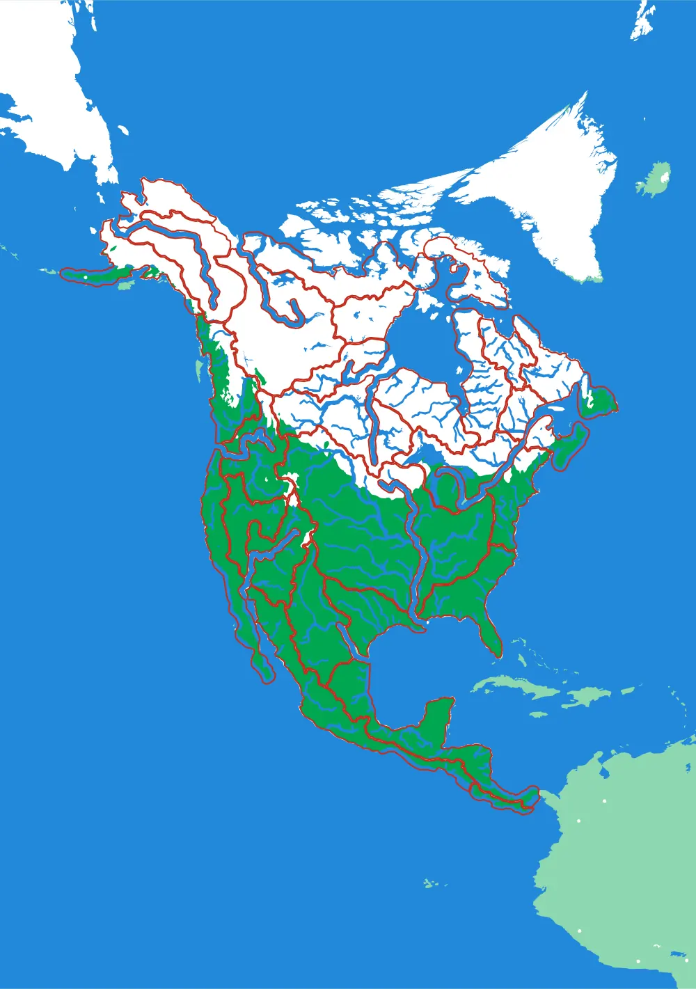
The Mississippi
The basin that drains a third of a continent
Fifteen pieces — Missouri, Ohio, Arkansas, Red, Illinois — that together are about three million square kilometres of drainage.
- Pieces
- 15 pieces
- Scale
- 1 mm ≈ 14.5 km
- Suitable for
- Ages 8 and up
- Price
- CHF 120.00
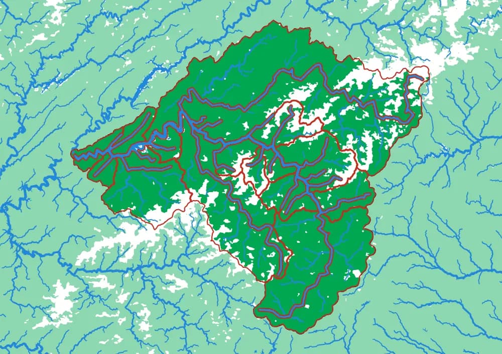
The Ohio
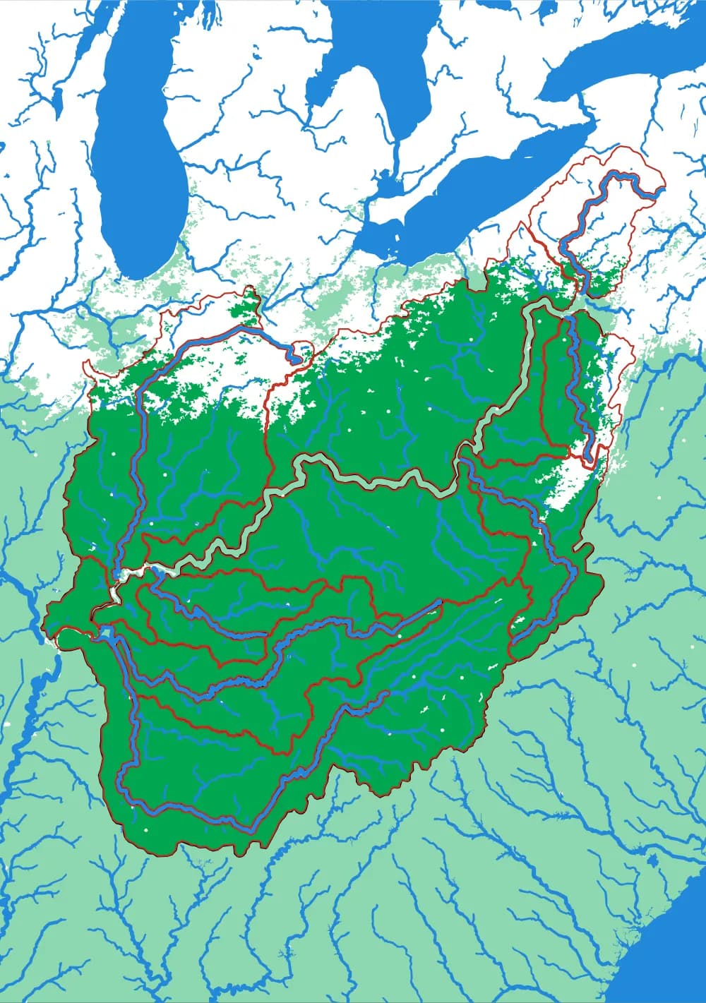
Where the Appalachians drain west
Eighteen pieces: the Tennessee, the Cumberland, the Allegheny, the Monongahela, the Wabash and the ridges between them.
- Pieces
- 18 pieces
- Scale
- 1 mm ≈ 5.8 km
- Suitable for
- Ages 8 and up
- Price
- CHF 120.00
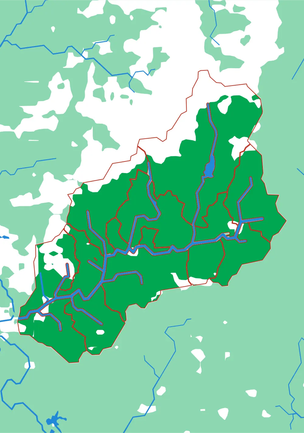
The Tennessee
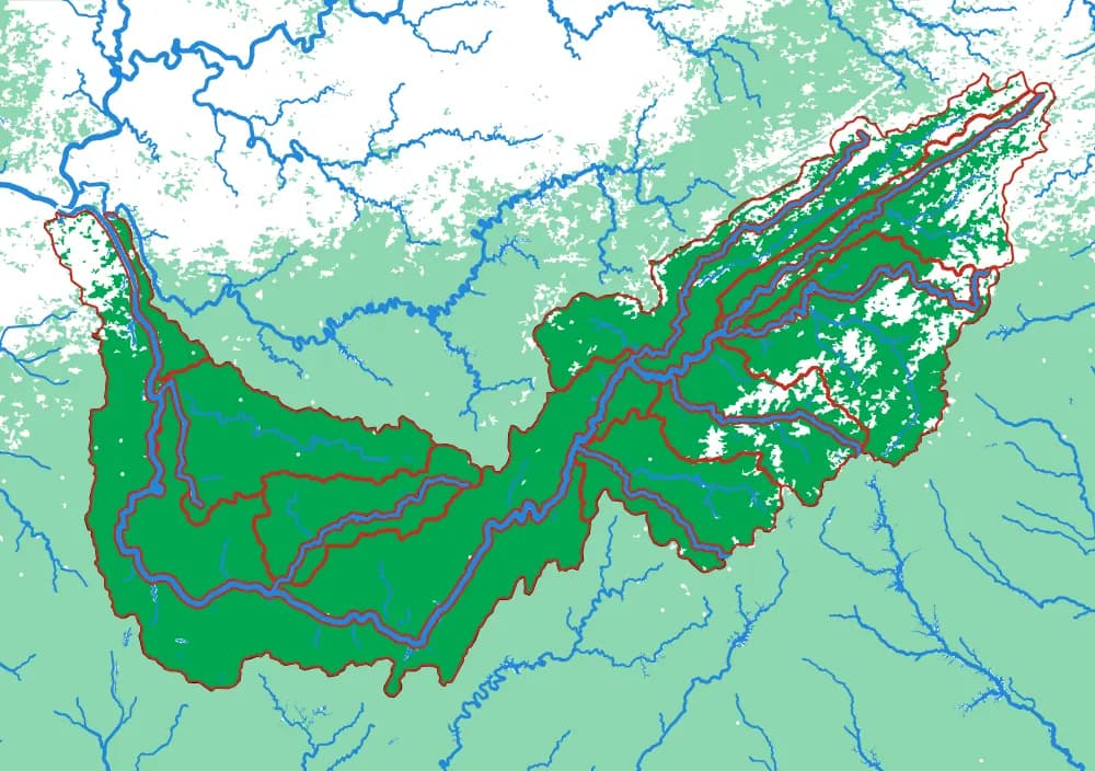
The river that goes the wrong way
Seventeen pieces including the French Broad, the Holston, the Clinch, the Little Tennessee and the Hiwassee.
- Pieces
- 17 pieces
- Scale
- 1 mm ≈ 2.8 km
- Suitable for
- Ages 8 and up
- Price
- CHF 120.00