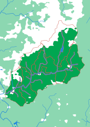
Generated from the same geometry the printer is handed — the plate seen from directly above. It cannot show the relief, which is the part you have to hold.
The Swannanoa
One valley, fifteen creeks
At roughly 163 metres to the millimetre this is the most detailed plate offered, and the pieces are not named rivers — they are the creeks and hollows that feed one modest mountain river. That is the point. Four zoom levels above this, the Swannanoa is a speck inside the Mississippi's Ohio piece; here it fills a whole B5 plate and every fold of ground is legible. It is the puzzle that makes the abstraction land: this is what all of those pieces are made of, everywhere.
What a child works out
- Detail does not stop — a watershed can always be cut smaller.
- The creeks behind your house have territories too.
- Scale is a choice a mapmaker makes, and you can hold both ends of it.
The geometry for this plate is finished and verified, but it is not part of the regular print run yet. Ask and it can be cut.
The plate
- Pieces
- 15 pieces
- Plate
- 176 × 250 mm
- Scale
- 1 mm ≈ 163 m
- Vertical exaggeration
- × 0.41
- Thickness
- 8.8 mm
- Smallest piece
- 104 mm²
- Fit
- 0.35 mm clearance
- Material
- PLA, printed in Switzerland
Sub-basins, which the source data leaves unnamed — they are creeks and hollows, not rivers with names.
B5 — the size of a school exercise book.
How much ground one millimetre of plate covers.
Height is compressed here — the terrain is dramatic enough at this scale that true height would not fit the plate.
Nothing is cut smaller than a child can pick up.
Printed in place, so every piece seats first time without sanding.
Zoom in, zoom out
A piece of each of these is the subject of the next one. Each plate is redrawn at its own scale, so it is a real map at every level rather than an enlargement of the one above.
Follow the water — A continent to one creek, cut by ridge lines with no borders
More from Watersheds
See all →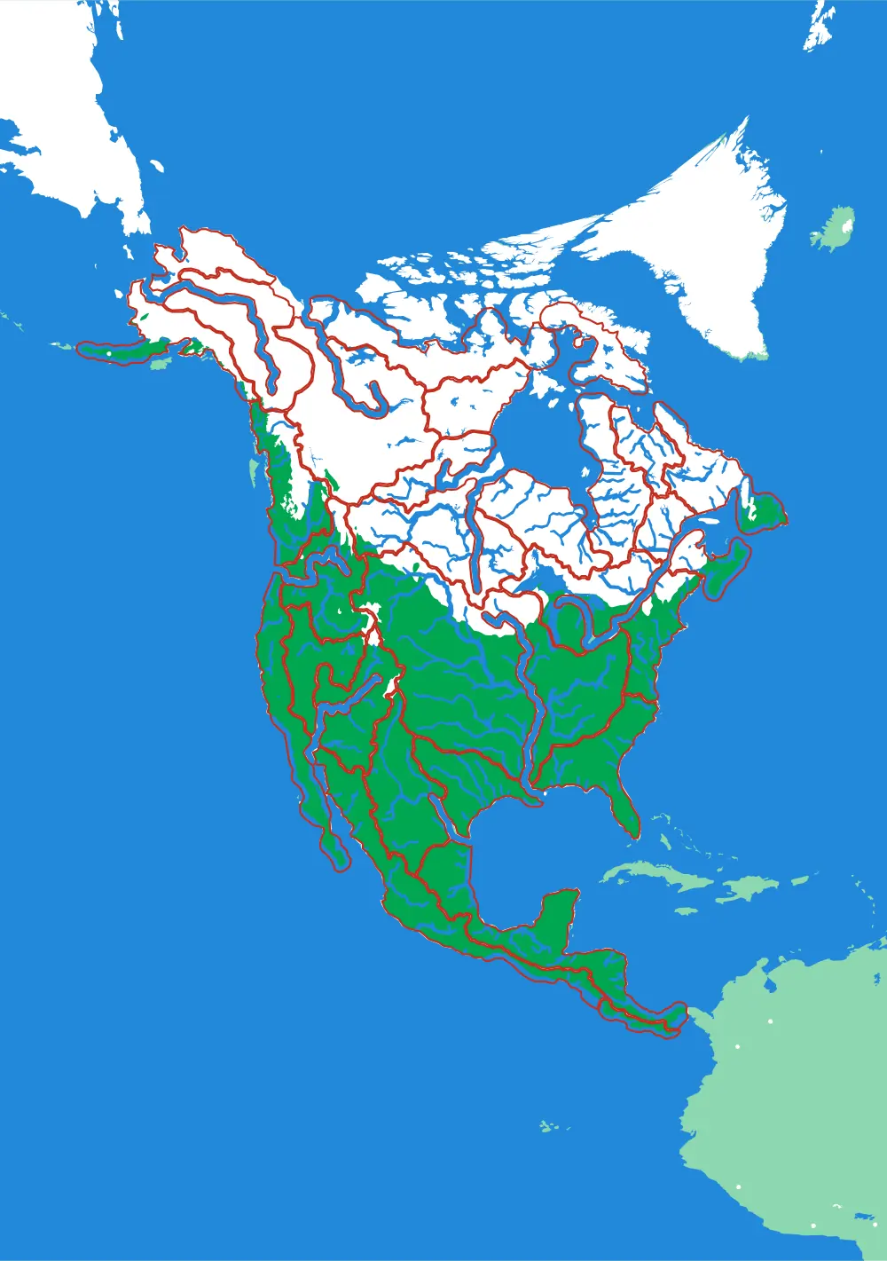
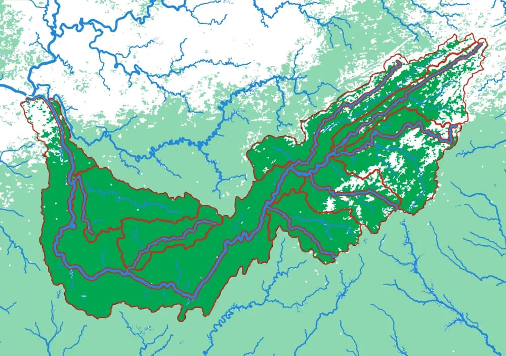
North America by River
A continent divided only by where water goes
No countries, no states. Twenty-nine pieces, each one the whole territory that drains into a single river.
- Pieces
- 29 pieces
- Scale
- 1 mm ≈ 49.4 km
- Suitable for
- Ages 8 and up
- Price
- CHF 120.00
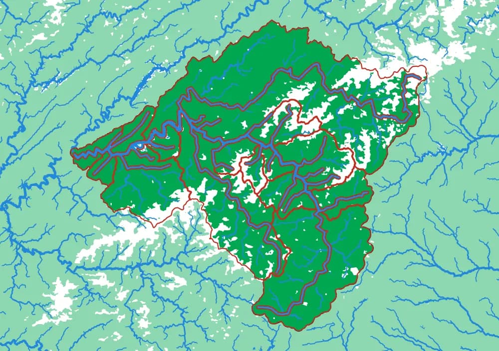
The Mississippi
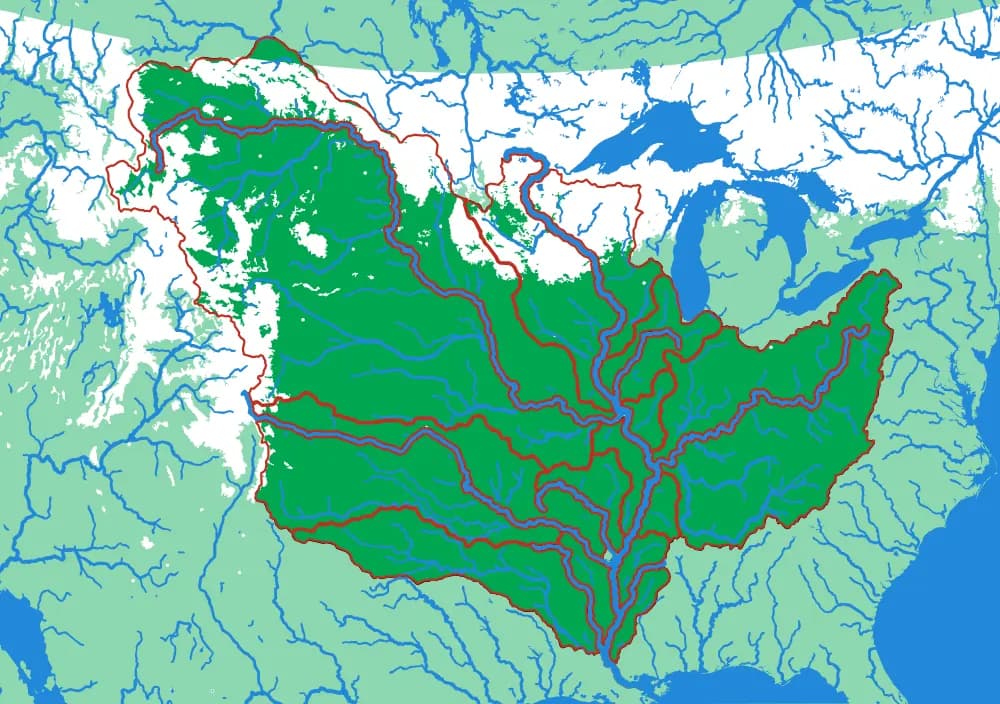
The basin that drains a third of a continent
Fifteen pieces — Missouri, Ohio, Arkansas, Red, Illinois — that together are about three million square kilometres of drainage.
- Pieces
- 15 pieces
- Scale
- 1 mm ≈ 14.5 km
- Suitable for
- Ages 8 and up
- Price
- CHF 120.00
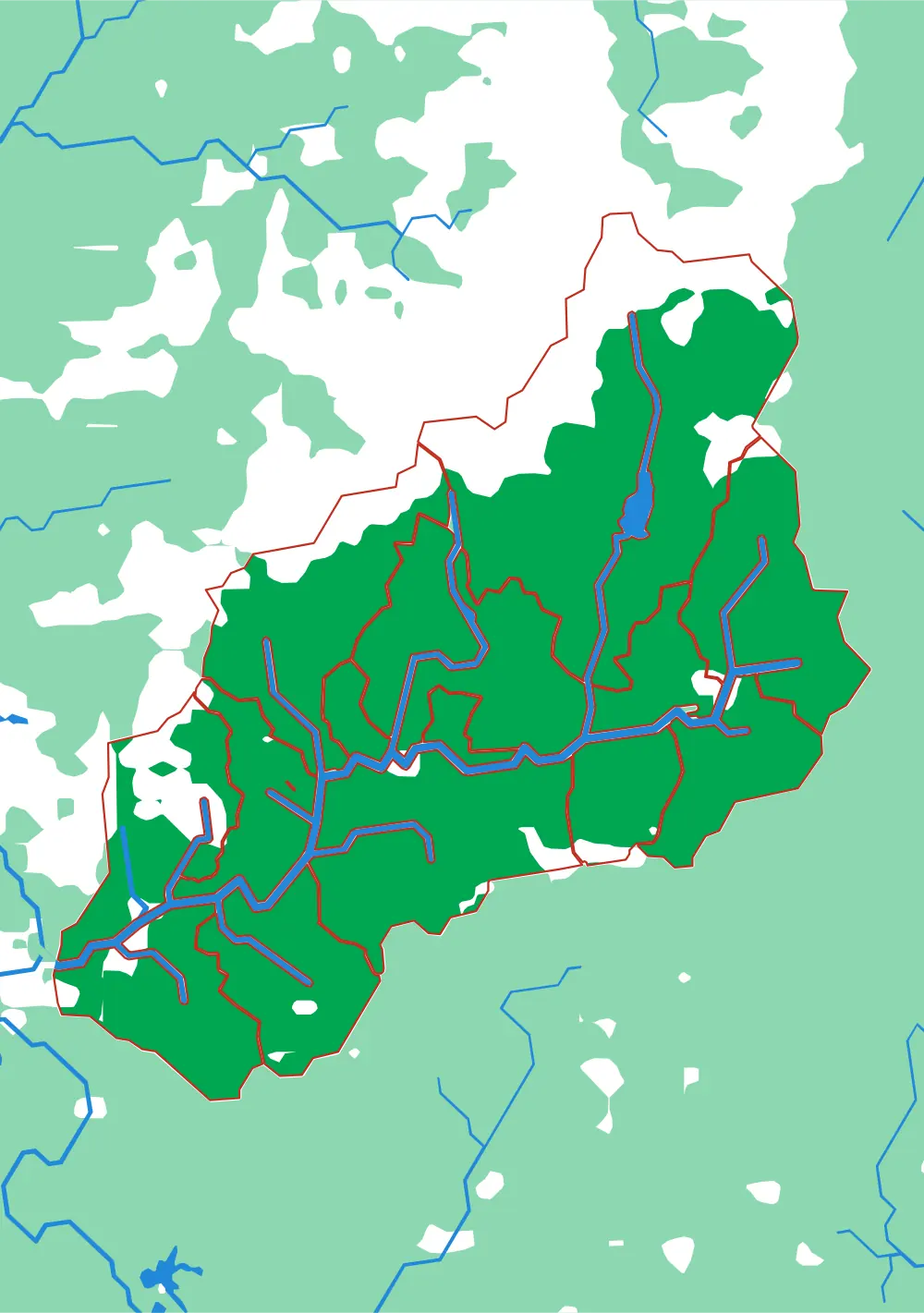
The Ohio
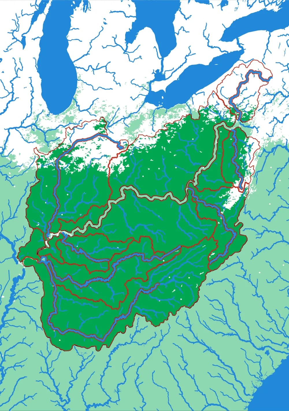
Where the Appalachians drain west
Eighteen pieces: the Tennessee, the Cumberland, the Allegheny, the Monongahela, the Wabash and the ridges between them.
- Pieces
- 18 pieces
- Scale
- 1 mm ≈ 5.8 km
- Suitable for
- Ages 8 and up
- Price
- CHF 120.00