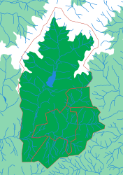
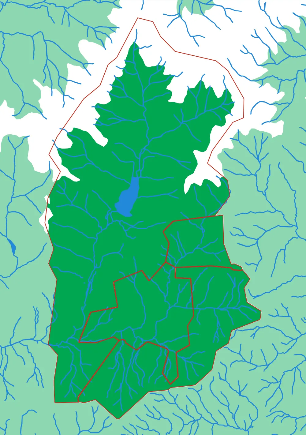
Generated from the same geometry the printer is handed — the plate seen from directly above. It cannot show the relief, which is the part you have to hold.
Black Mountain
Four towns in one Appalachian valley
Black Mountain, Montreat, Ridgecrest and Swannanoa sit in a row along one valley with the highest peaks in the eastern United States above them. Four pieces makes this one of the easiest plates in the collection, which suits it — it is a puzzle for a young child in that valley, whose first map should be the ground they can see out of the window.
What a child works out
- Towns in a valley are strung along the flat part.
- Four pieces can still be a real map.
- The mountain behind the town has a shape you can hold.
The geometry for this plate is finished and verified, but it is not part of the regular print run yet. Ask and it can be cut.
The plate
- Pieces
- 4 pieces
- Plate
- 176 × 250 mm
- Scale
- 1 mm ≈ 87 m
- Vertical exaggeration
- × 0.24
- Thickness
- 8.8 mm
- Smallest piece
- 932 mm²
- Fit
- 0.29 mm clearance
- Material
- PLA, printed in Switzerland
B5 — the size of a school exercise book.
How much ground one millimetre of plate covers.
Height is compressed here — the terrain is dramatic enough at this scale that true height would not fit the plate.
Nothing is cut smaller than a child can pick up.
Printed in place, so every piece seats first time without sanding.
Every named piece
- Black Mountain
- Montreat
- Ridgecrest
- Walkertown
Zoom in, zoom out
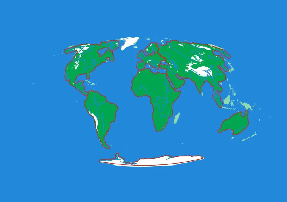
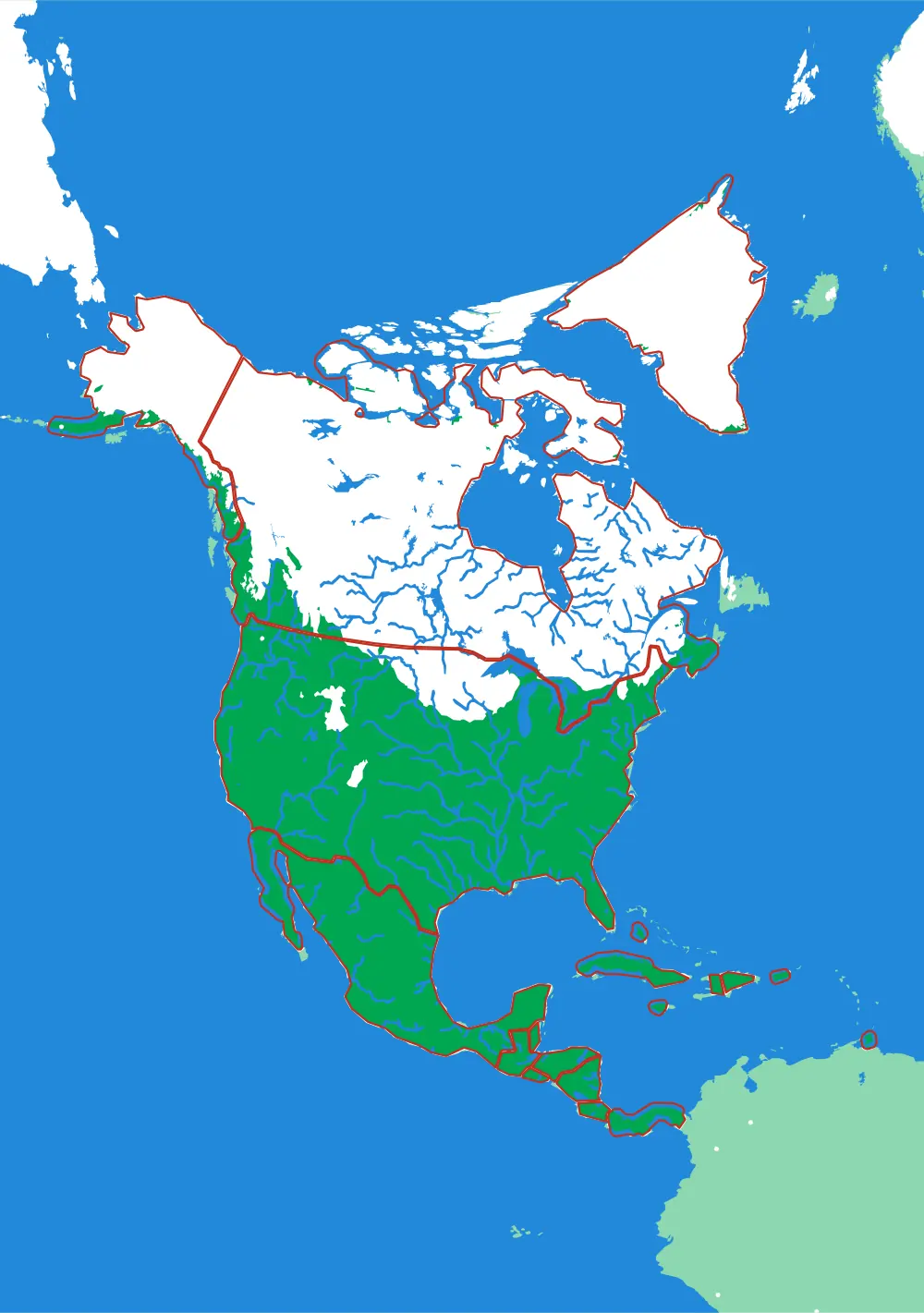
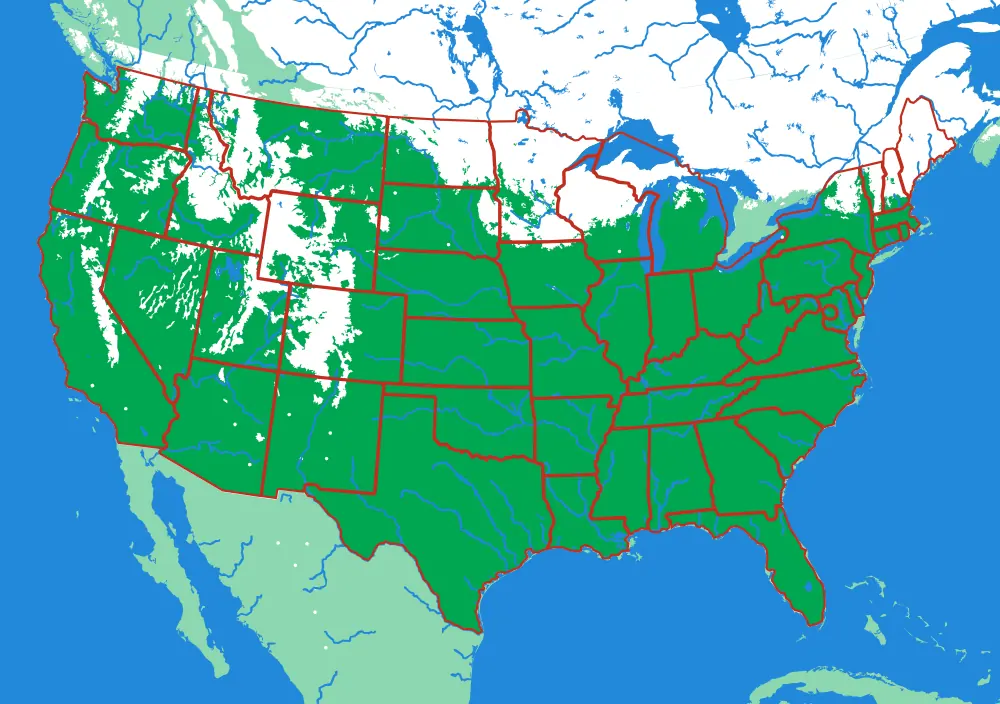
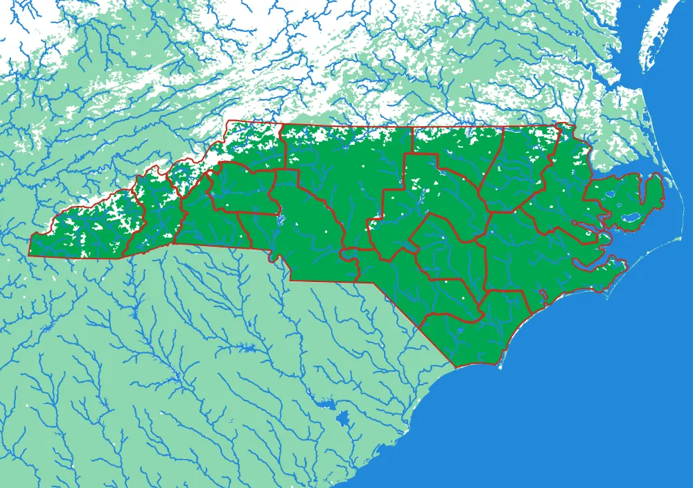
A piece of each of these is the subject of the next one. Each plate is redrawn at its own scale, so it is a real map at every level rather than an enlargement of the one above.
Follow the borders — World to continent to country to state to township
More from Close to Home
See all →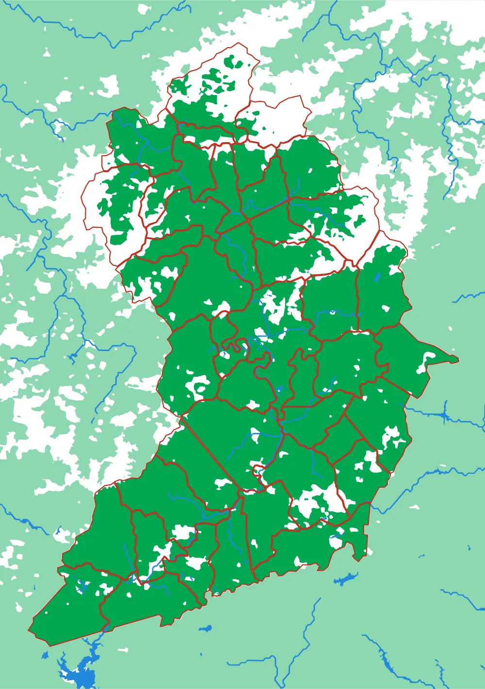
In development
Land of Sky
Forty-three townships around Asheville
The most pieces of any plate in the collection, at a scale where you can find the road you live on.
- Pieces
- 43 pieces
- Scale
- 1 mm ≈ 522 m
- Suitable for
- Ages 8 and up
- Price
- CHF 120.00
Ticino
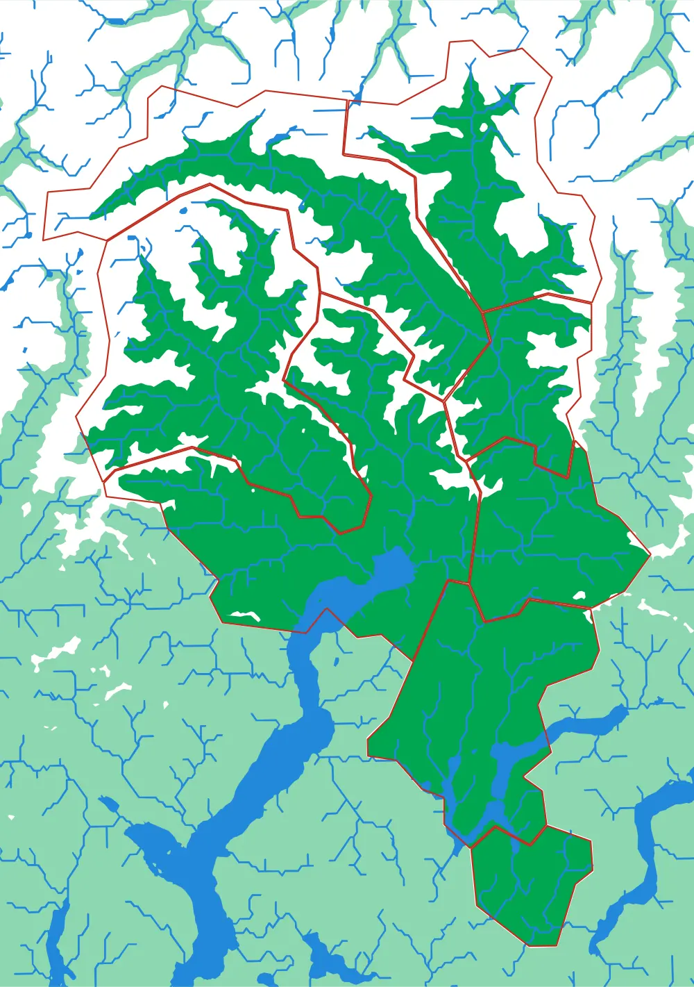
Eight districts on the sunny side of the Alps
Bellinzona, Locarno, Lugano, Mendrisio, Blenio, Leventina, Riviera, Vallemaggia — eight pieces, all mountain.
- Pieces
- 8 pieces
- Scale
- 1 mm ≈ 387 m
- Suitable for
- Ages 6 and up
- Price
- CHF 120.00
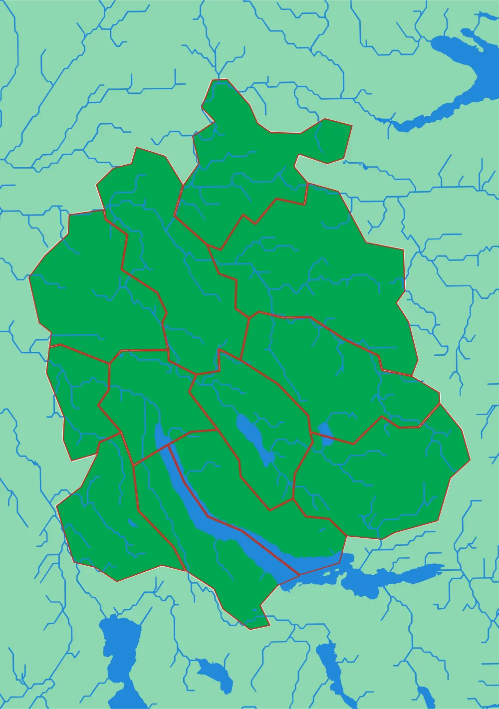
Canton Zürich
Twelve districts around the lake
The whole canton at 305 metres to the millimetre, with the lake, the Glatt valley and the Albis ridge.
- Pieces
- 12 pieces
- Scale
- 1 mm ≈ 305 m
- Suitable for
- Ages 6 and up
- Price
- CHF 120.00