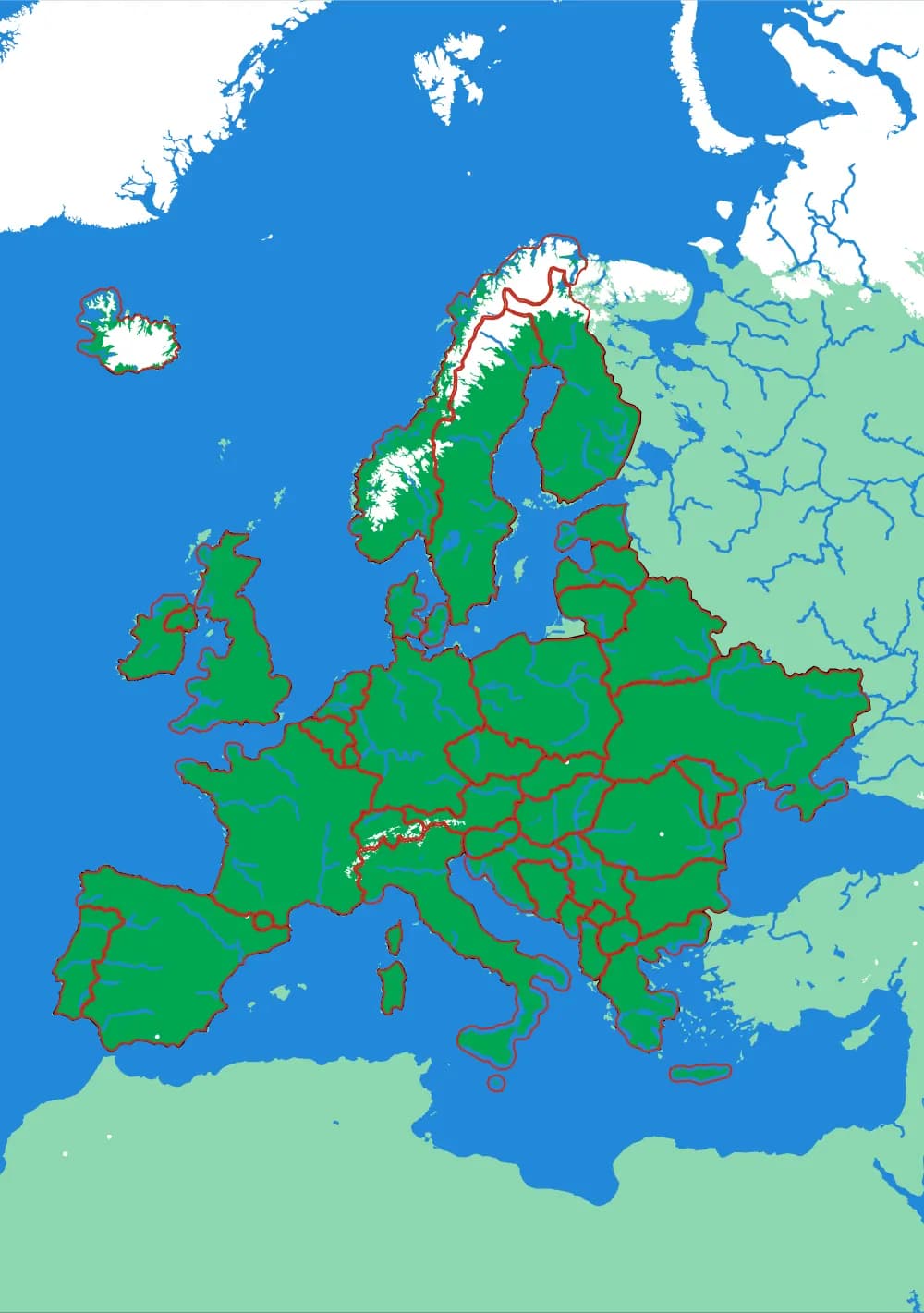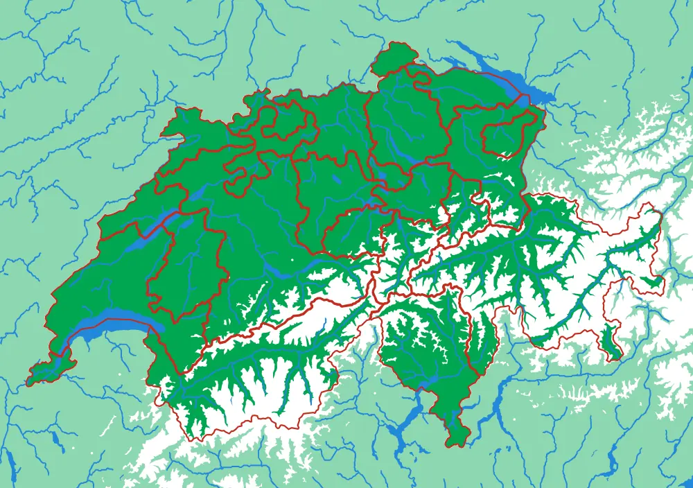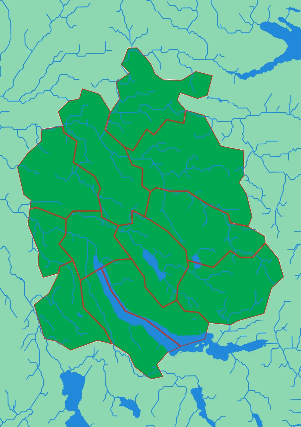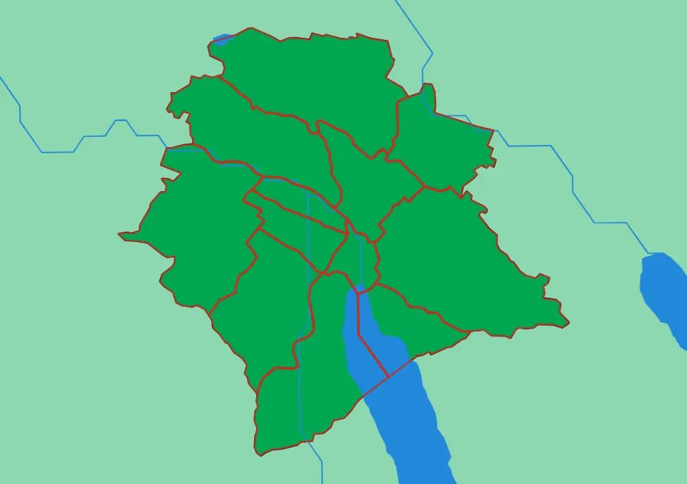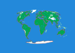
Generated from the same geometry the printer is handed — the plate seen from directly above. It cannot show the relief, which is the part you have to hold.
The World
Seven continents in one ocean
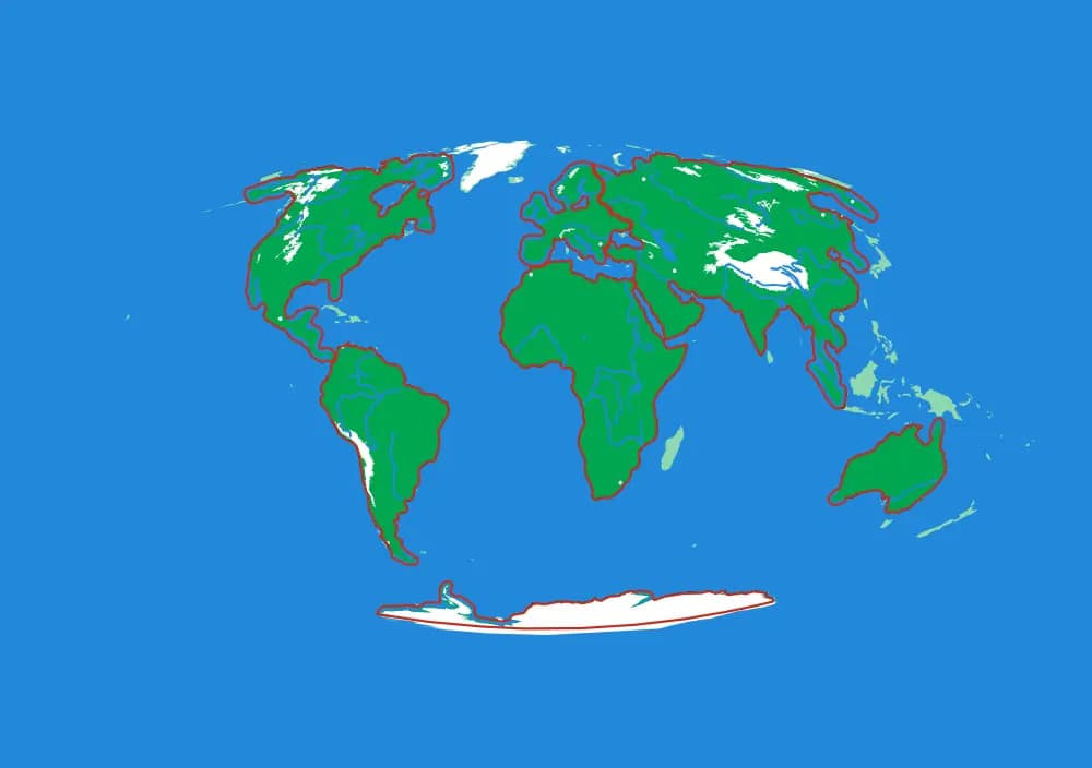
At this scale one millimetre is about 157 kilometres, which means the Alps are a bump you can feel with a fingertip and the Himalaya are unmistakable in the dark. The ocean is not empty background here — it is the frame the continents sit in, printed as one continuous blue surface, so a child taking Africa out is left holding a continent and looking at the shape of the sea that surrounds it. The snow caps at both poles and along the high ranges are printed white, from real snow-persistence data rather than from a drawing.
What a child works out
- Continents are shapes you can hold, not words on a list.
- The ocean is one connected thing, not the gaps between land.
- Mountains are where they are for a reason — feel the Andes run the whole west edge of South America.
The plate
- Pieces
- 7 pieces
- Plate
- 250 × 176 mm
- Scale
- 1 mm ≈ 157 km
- Vertical exaggeration
- × 78.42
- Thickness
- 8.8 mm
- Smallest piece
- 308 mm²
- Fit
- 0.35 mm clearance
- Material
- PLA, printed in Switzerland
B5 — the size of a school exercise book.
How much ground one millimetre of plate covers.
Height is stretched by this factor so the relief is readable at desk size.
Nothing is cut smaller than a child can pick up.
Printed in place, so every piece seats first time without sanding.
Every named piece
- Africa
- Antarctica
- Asia
- Europe
- North America
- Oceania
- South America
Zoom in, zoom out
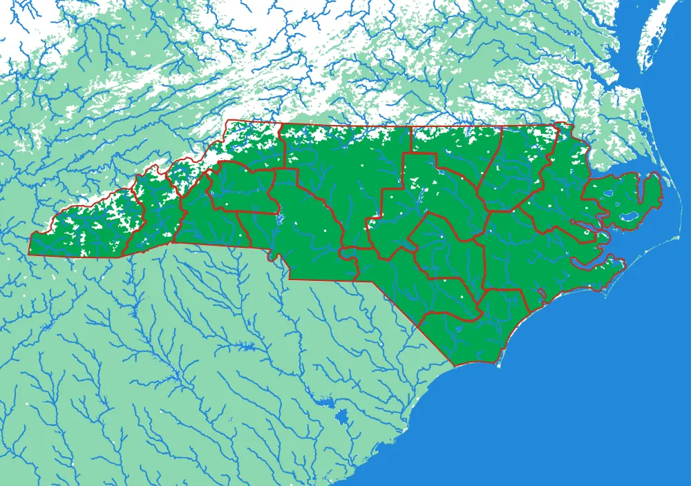
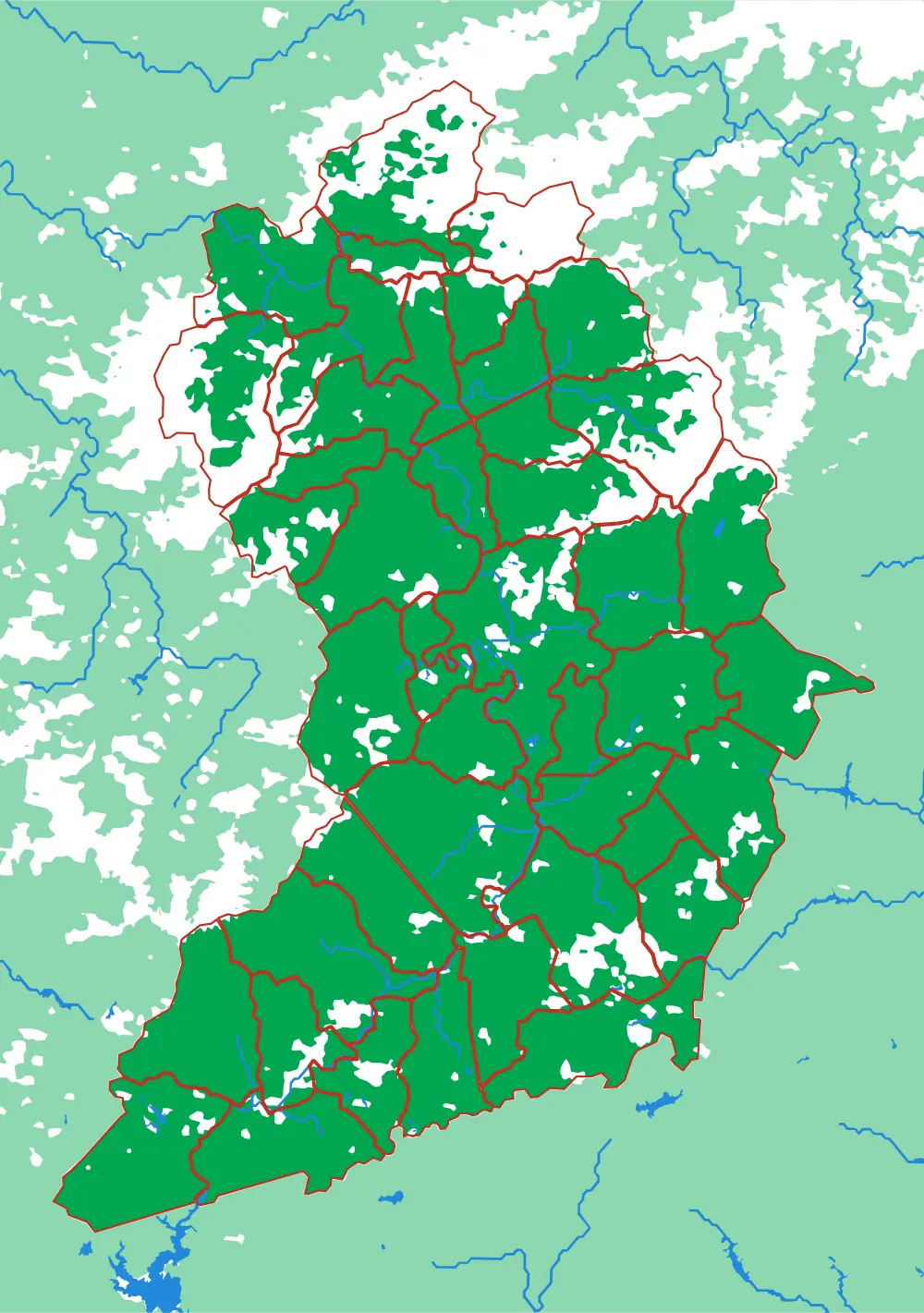
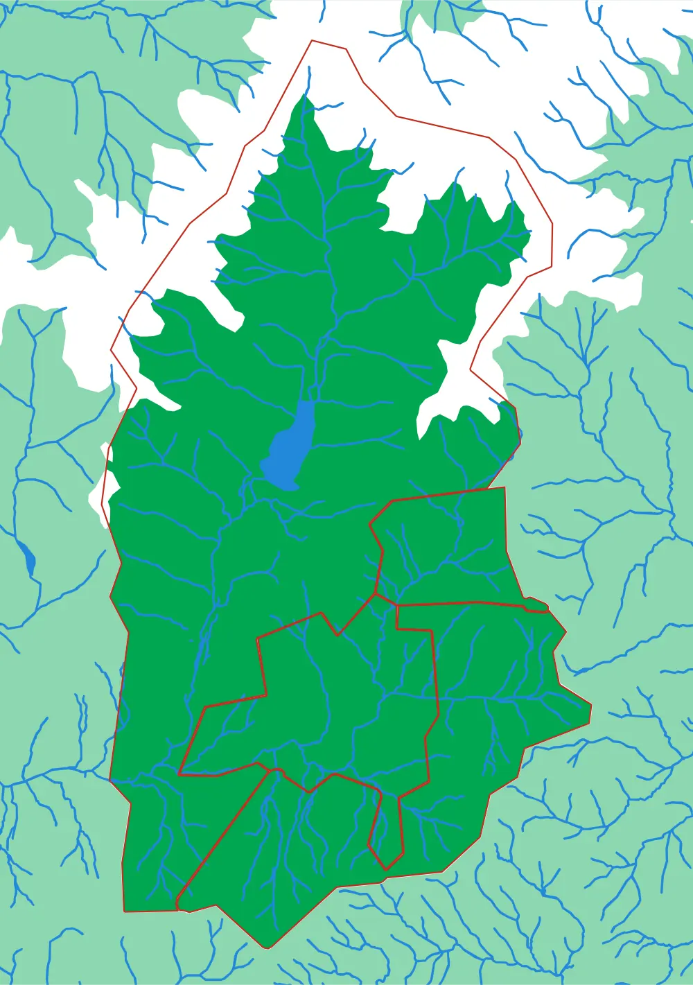
A piece of each of these is the subject of the next one. Each plate is redrawn at its own scale, so it is a real map at every level rather than an enlargement of the one above.
Follow the borders — World to continent to country to state to township
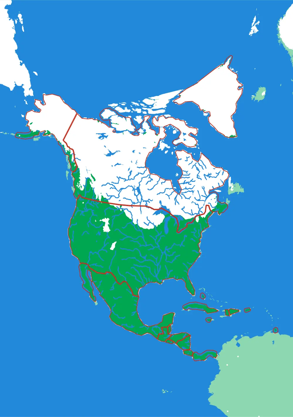
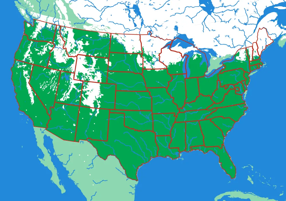
Follow the borders — World to continent to country to canton to city district