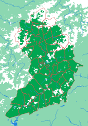
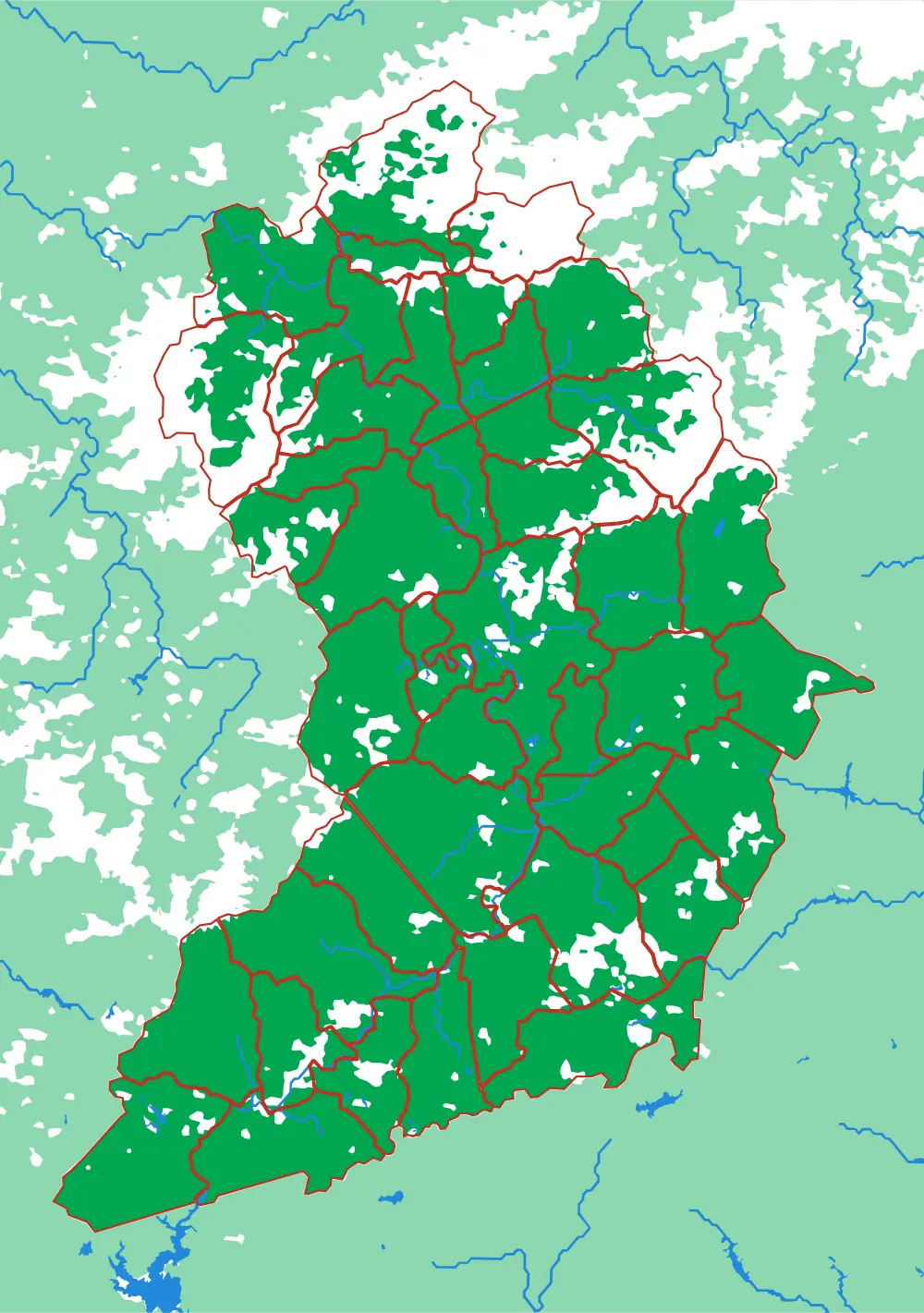
Generated from the same geometry the printer is handed — the plate seen from directly above. It cannot show the relief, which is the part you have to hold.
Land of Sky
Forty-three townships around Asheville
Forty-three pieces on a B5 plate is close to the limit of what can be printed and still picked up, and the names are the ones people around Asheville actually use — Reems Creek, Sandy Mush, Fairview, Leicester, Hot Springs. This is a local puzzle in the strongest sense: it is not much use to anyone who does not live there, and it is unreasonably interesting to anyone who does.
What a child works out
- Your own place has a shape, and it fits into a bigger one.
- Township names usually come from the creek that runs through them.
- Forty-three pieces is a real puzzle, not a toy.
The geometry for this plate is finished and verified, but it is not part of the regular print run yet. Ask and it can be cut.
The plate
- Pieces
- 43 pieces
- Plate
- 176 × 250 mm
- Scale
- 1 mm ≈ 522 m
- Vertical exaggeration
- × 1.17
- Thickness
- 8.8 mm
- Smallest piece
- 116 mm²
- Fit
- 0.29 mm clearance
- Material
- PLA, printed in Switzerland
B5 — the size of a school exercise book.
How much ground one millimetre of plate covers.
Height is stretched by this factor so the relief is readable at desk size.
Nothing is cut smaller than a child can pick up.
Printed in place, so every piece seats first time without sanding.
Every named piece
- 9 Sandy Mush
- Asheville
- Avery Creek
- Beech Glenn
- Black Mountain
- Blue Ridge
- Boyd
- Brevard
- Broad River
- Catheys Creek
- Clear Creek
- Crab Creek
- Dunns Rock
- Eastatoe
- Ebbs Chapel
- Edneyville
- Fairview
- Flat Creek
- French Broad
- Gloucester
- Grapevine
- Green River
- Hendersonville
- Hogback
- Hoopers Creek
- Hot Springs
- Ivy
- Laurel
- Leicester
- Limestone
- Little River
- Lower Hominy
- Mars Hill
- Mills River
- North Marshall
- Reems Creek
- Revere Rice Cove
- Sandy Mush
- South Marshall
- Spring Creek
- Swannanoa
- Upper Hominy
- Walnut
Zoom in, zoom out
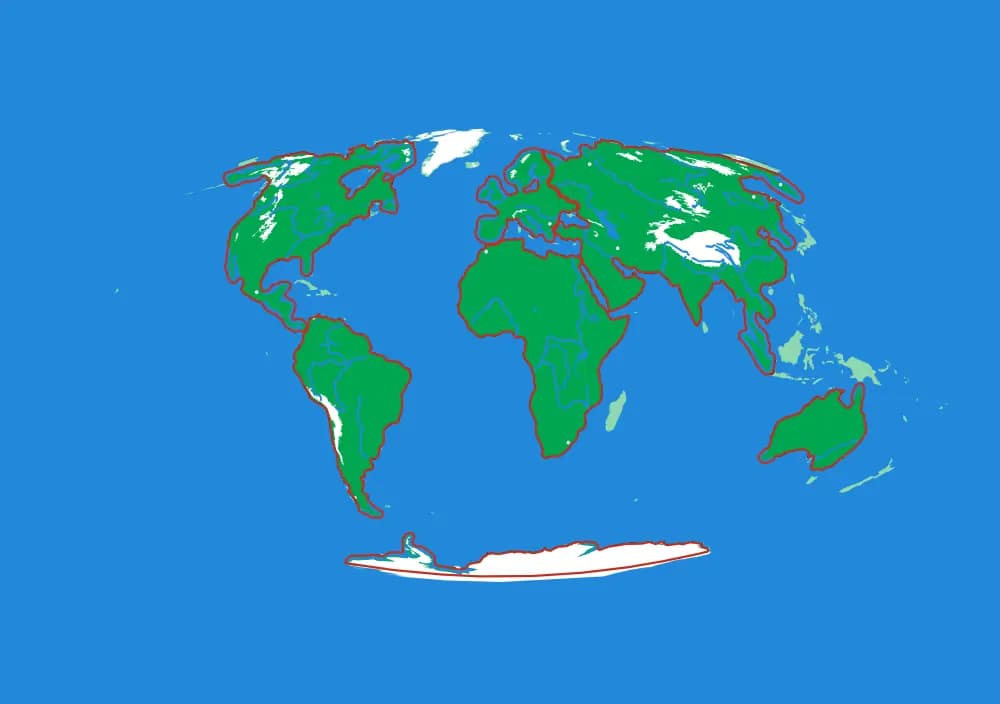
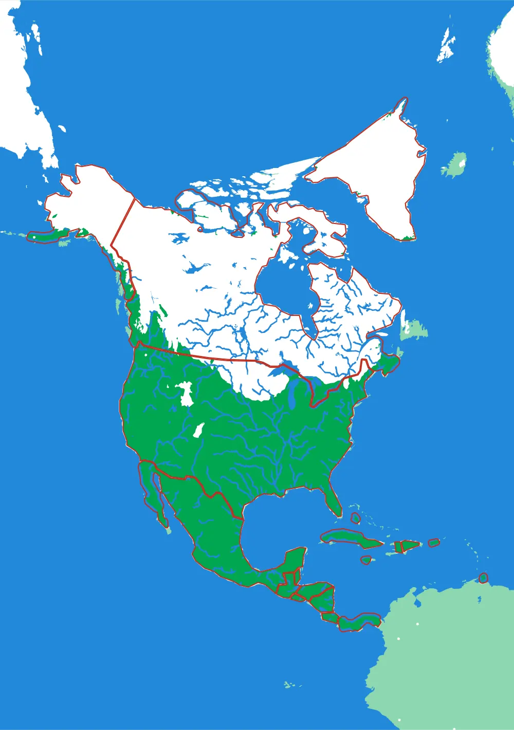
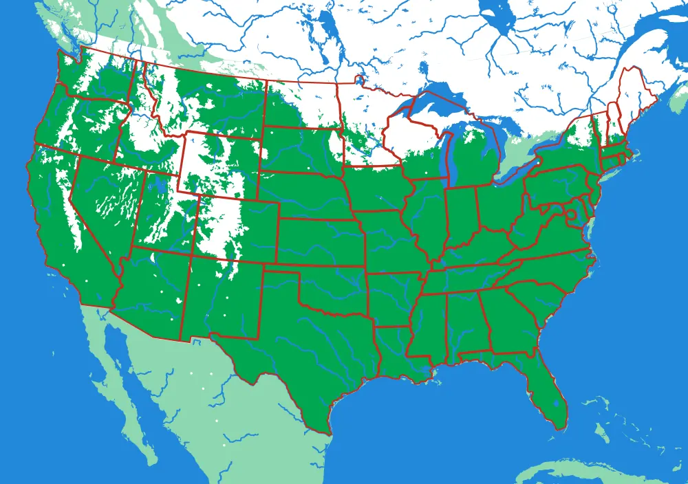
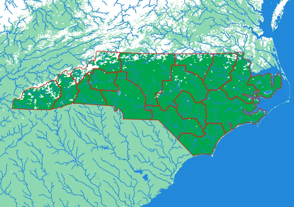
A piece of each of these is the subject of the next one. Each plate is redrawn at its own scale, so it is a real map at every level rather than an enlargement of the one above.
Follow the borders — World to continent to country to state to township
More from Close to Home
See all →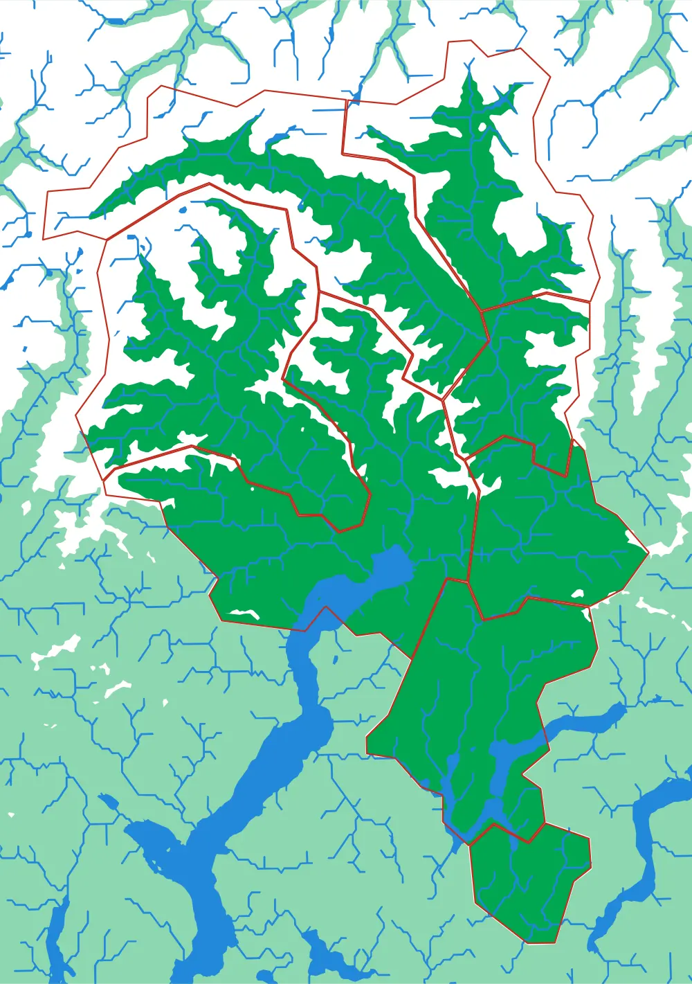
Ticino
Eight districts on the sunny side of the Alps
Bellinzona, Locarno, Lugano, Mendrisio, Blenio, Leventina, Riviera, Vallemaggia — eight pieces, all mountain.
- Pieces
- 8 pieces
- Scale
- 1 mm ≈ 387 m
- Suitable for
- Ages 6 and up
- Price
- CHF 120.00
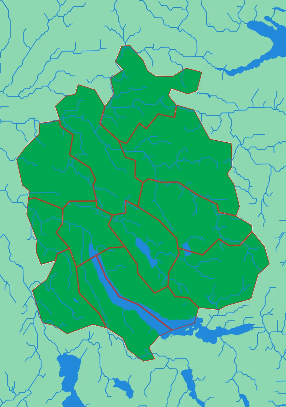
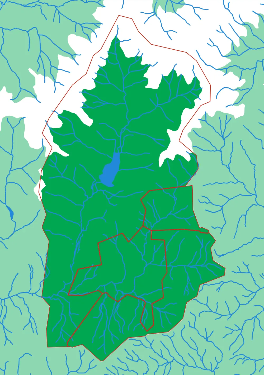
Canton Zürich
Twelve districts around the lake
The whole canton at 305 metres to the millimetre, with the lake, the Glatt valley and the Albis ridge.
- Pieces
- 12 pieces
- Scale
- 1 mm ≈ 305 m
- Suitable for
- Ages 6 and up
- Price
- CHF 120.00
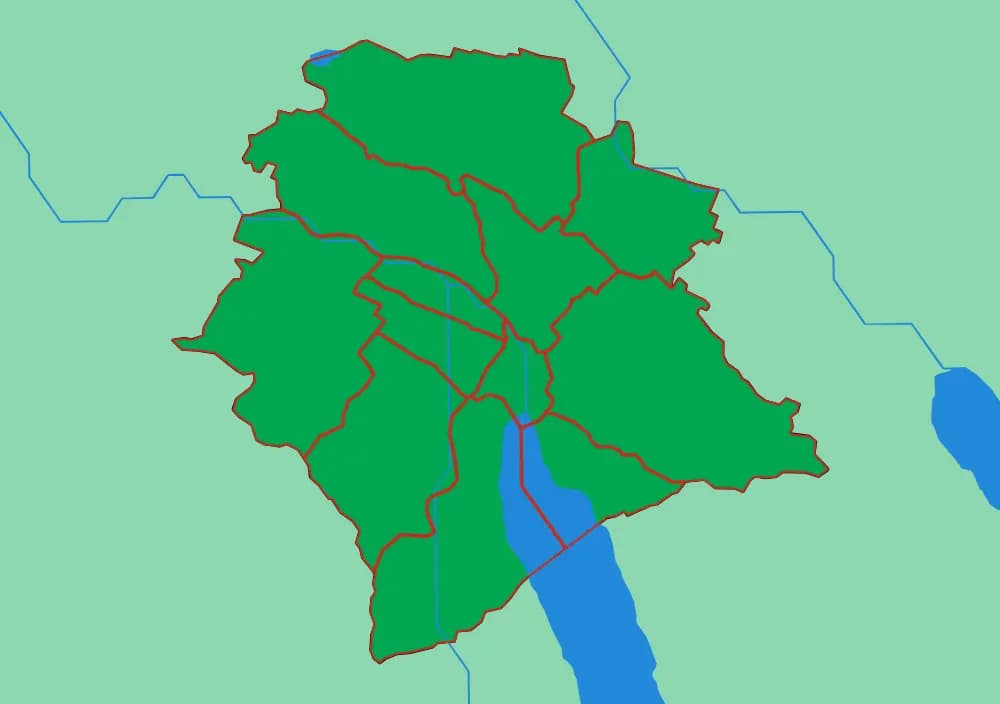
Zürich City
The twelve Kreise
The city districts at 81 metres to the millimetre — the finest scale in the collection.
- Pieces
- 12 pieces
- Scale
- 1 mm ≈ 81 m
- Suitable for
- Ages 7 and up
- Price
- CHF 120.00